2000s (21st Century) Maps of Jeff Davis County, Texas
Explore 270 historic maps of Jeff Davis County from the 2000s (21st Century). These maps offer a rare glimpse into what life looked like during the 2000s — showing old roads, neighborhoods, homes, and landmarks that have changed or disappeared over time.
Whether you're researching your family's past, planning a metal detecting trip, or studying how Jeff Davis County's landscape evolved across the 2000s, these high-resolution maps are a powerful tool for exploring the history of this region.
- Focus on a specific era: All maps on this page are from the 2000s, giving you a focused view of this time period.
- See what’s changed: Compare century-old streets, trails, and buildings to today's modern landscape using overlays and satellite layers.
- Research with precision: Use these maps for genealogy, historical research, land use analysis, or educational projects.
- View, download, or print: Maps are fully viewable online in high resolution, and can be downloaded or printed for your own records.
Start exploring Jeff Davis County's history through authentic maps from the 2000s. This is your window into the past.
Jeff Davis County, TX maps
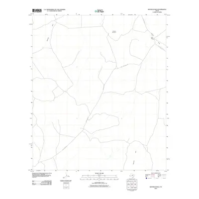
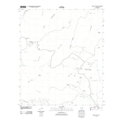
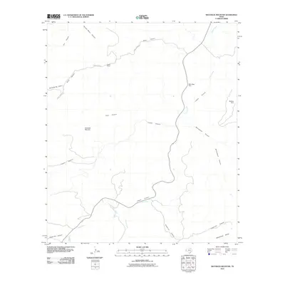
(270)- 2010 Map of Hovey SW, 2010 Print
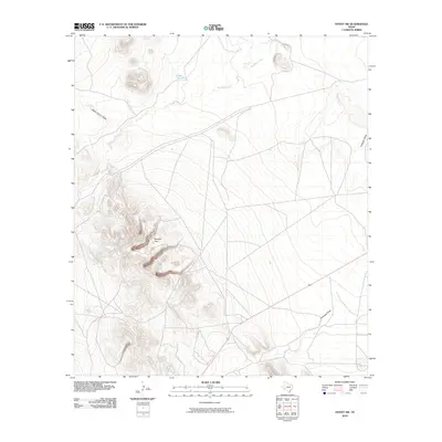 2010 Hovey SW2010 Print · USGSCovers Jeff Davis County, including Pecos County, Brewster County, and other nearby areas
 - 2010 Map of Fencepost Draw, 2010 Print
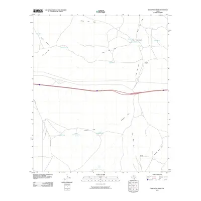 2010 Fencepost Draw2010 Print · USGSCovers Jeff Davis County, including Culberson County, United States, and other nearby areas
 - 2010 Map of Kent, 2010 Print
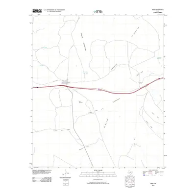 2010 Kent2010 Print · USGSCovers Jeff Davis County, including Kent, Culberson County, and other nearby areas
 - 2010 Map of Smith Hills, 2010 Print
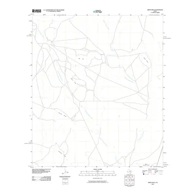 2010 Smith Hills2010 Print · USGSCovers Jeff Davis County, including Presidio County, United States, and other nearby areas
 - 2010 Map of Gomez Peak, 2010 Print
 2010 Gomez Peak2010 Print · USGSCovers Jeff Davis County, including Levinson, Reeves County, and other nearby areas
 - 2010 Map of Sotol Hill, 2010 Print
 2010 Sotol Hill2010 Print · USGSCovers Jeff Davis County, including Reeves County, United States, and other nearby areas
 - 2010 Map of Boracho Peak, 2010 Print
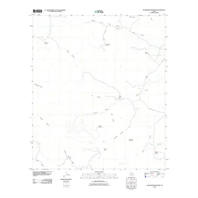
 2010 Boracho Peak2010 Print · USGSCovers Jeff Davis County, including Culberson County, United States, and other nearby areas
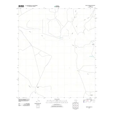
 - 2010 Map of Bennett Ranch, 2010 Print
 2010 Bennett Ranch2010 Print · USGSCovers Jeff Davis County, including Tres Álamos, Emilio Carranza (Porvenir), and other nearby areas
 - 2010 Map of Mayfield Hills, 2010 Print
 2010 Mayfield Hills2010 Print · USGSCovers Jeff Davis County, including Culberson County, United States, and other nearby areas
 - 2010 Map of Paradise Mountain, 2010 Print
 2010 Paradise Mountain2010 Print · USGSCovers Jeff Davis County, including United States, Texas, and other nearby areas
 - 2010 Map of Buckhorn Mountain, 2010 Print
 2010 Buckhorn Mountain2010 Print · USGSCovers Jeff Davis County, including United States, Texas, and other nearby areas
 - 2010 Map of Dowman Canyon, 2010 Print
 2010 Dowman Canyon2010 Print · USGSCovers Jeff Davis County, including United States, Texas, and other nearby areas
 - 2010 Map of Mount Locke, 2010 Print
 2010 Mount Locke2010 Print · USGSCovers Jeff Davis County, including United States, Texas, and other nearby areas
 - 2010 Map of Valentine East, 2010 Print
 2010 Valentine East2010 Print · USGSCovers Jeff Davis County, including Valentine, Bell Place Windmill, and other nearby areas
 - 2010 Map of Boggy Draw, 2010 Print
 2010 Boggy Draw2010 Print · USGSCovers Jeff Davis County, including United States, Texas, and other nearby areas
 - 2010 Map of Toyahvale, 2010 Print
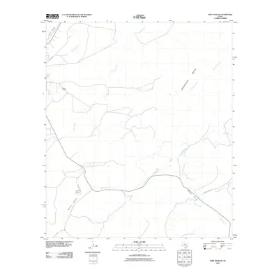
 2010 Toyahvale2010 Print · USGSCovers Jeff Davis County, including Balmorhea, Old Place Windmill, and other nearby areas
 - 2010 Map of Fort Davis SE, 2010 Print
 2010 Fort Davis SE2010 Print · USGSCovers Jeff Davis County, including United States, Texas, and other nearby areas
 - 2010 Map of San Antonio Pass, 2010 Print
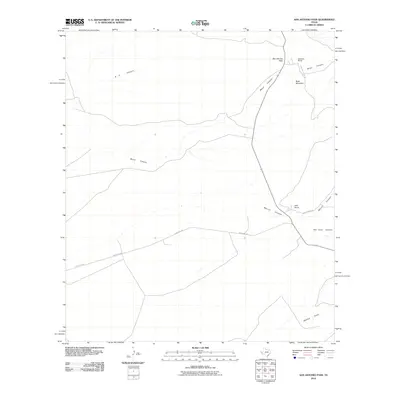 2010 San Antonio Pass2010 Print · USGSCovers Jeff Davis County, including Presidio County, United States, and other nearby areas
 - 2010 Map of Alpine North, 2010 Print
 2010 Alpine North2010 Print · USGSCovers Jeff Davis County, including Alpine, Brewster County, and other nearby areas
 - 2010 Map of Bare Mountain, 2010 Print
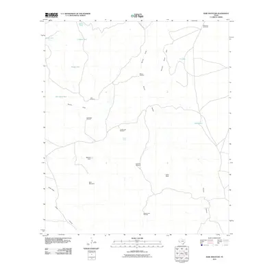 2010 Bare Mountain2010 Print · USGSCovers Jeff Davis County, including Rockpile Ranch, United States, and other nearby areas
 - 2010 Map of Last Chance Mesa, 2010 Print
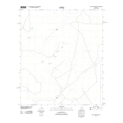 2010 Last Chance Mesa2010 Print · USGSCovers Jeff Davis County, including Brewster County, United States, and other nearby areas
 - 2010 Map of Barrilla Mountains East, 2010 Print
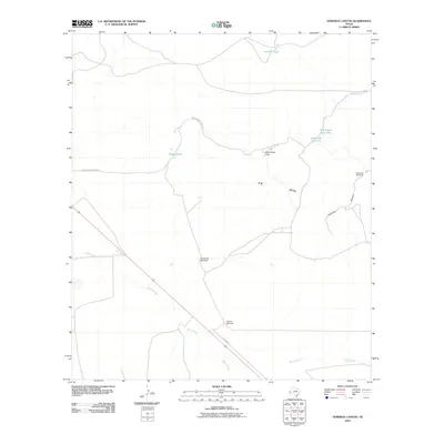
 2010 Barrilla Mountains East2010 Print · USGSCovers Jeff Davis County, including Cuatro Caminos, Pecos County, and other nearby areas
 - 2010 Map of Swayback Mountain, 2010 Print
 2010 Swayback Mountain2010 Print · USGSCovers Jeff Davis County, including United States, Texas, and other nearby areas
 - 2010 Map of Chispa, 2010 Print
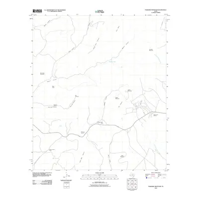
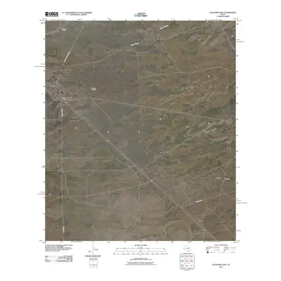
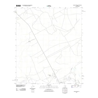
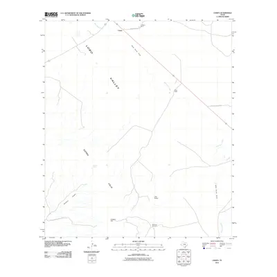 2010 Chispa2010 Print · USGSCovers Jeff Davis County, including Chispa, United States, and other nearby areas
 - 2010 Map of Ryan, 2010 Print
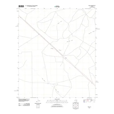 2010 Ryan2010 Print · USGSCovers Jeff Davis County, including Ryan, Presidio County, and other nearby areas
Showing maps 1-25 of 270
Top cities of Jeff Davis County
Frequently asked questions
- What are the different types of historical maps available for Jeff Davis County?
- What is the oldest map of Jeff Davis County?
- Where can I purchase historical maps of Jeff Davis County for my home or office?
- Where can I download high-res historical maps of Jeff Davis County?
- Are there historical topographic maps available for Jeff Davis County?
- Is there historical aerial imagery available for Jeff Davis County?
- Where are historical maps of Jeff Davis County sourced from?