2010s Maps of Jeff Davis County, Texas
Explore 216 historic maps of Jeff Davis County from the 2010s. These maps offer a rare glimpse into what life looked like during the 2010s — showing old roads, neighborhoods, homes, and landmarks that have changed or disappeared over time.
Whether you're researching your family's past, planning a metal detecting trip, or studying how Jeff Davis County's landscape evolved across the 2010s, these high-resolution maps are a powerful tool for exploring the history of this region.
- Focus on a specific era: All maps on this page are from the 2010s, giving you a focused view of this time period.
- See what’s changed: Compare century-old streets, trails, and buildings to today's modern landscape using overlays and satellite layers.
- Research with precision: Use these maps for genealogy, historical research, land use analysis, or educational projects.
- View, download, or print: Maps are fully viewable online in high resolution, and can be downloaded or printed for your own records.
Start exploring Jeff Davis County's history through authentic maps from the 2010s. This is your window into the past.
Jeff Davis County, TX maps
(216)- 2010 Map of Hovey SW, 2010 Print
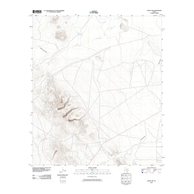 2010 Hovey SW2010 Print · USGSPecos County's arid desert landscape is captured here in the early twenty-first century, showing a region defined by its prominent landmarks and water draws. Researchers can locate the distinctive Squaws Teat peak or trace the drainage of Musquiz Creek and Antelope Draw.
 - 2010 Map of Fencepost Draw, 2010 Print
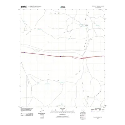 2010 Fencepost Draw2010 Print · USGSCattle ranching infrastructure dominates this West Texas landscape in Culberson County during the early twenty-first century. Genealogists and researchers can trace the operations of the Reynolds Cattle Company Dam and locate historic outposts like Gardner Camp and Horse Camp Spring.
 - 2010 Map of Kent, 2010 Print
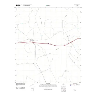 2010 Kent2010 Print · USGSKent is situated at a critical crossroads of highway and ranch roads in West Texas as the first decade of the new millennium ended. Researchers can trace land features like Kent Mountain, the crossing at Twin Bridges, and family-named sites such as Levinson Reservoir.
 - 2010 Map of Smith Hills, 2010 Print
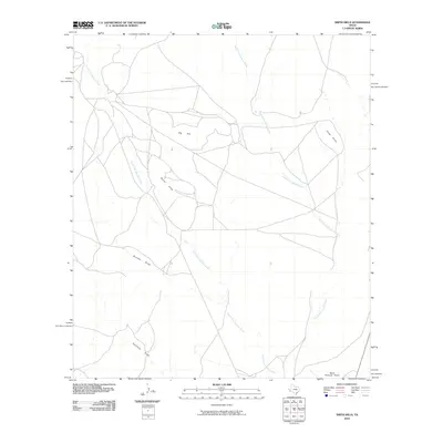 2010 Smith Hills2010 Print · USGSPresidio County at the start of the 2010s reveals a vast West Texas landscape of high-desert ranch land and vital drainage basins. Researchers can trace the forks of Alamito Creek and locate landmarks like the Marfa Municipal Airport and Smith Hills.
 - 2010 Map of Gomez Peak, 2010 Print
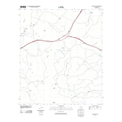 2010 Gomez Peak2010 Print · USGSThe ranching country of West Texas is documented here in the decade before 2010, showing the high desert basins and peaks of Culberson County. Genealogists and researchers can trace family-named lands like Cowden Ranch, the Cowan Homestead, and Woulfter Ranch.
 - 2010 Map of Sotol Hill, 2010 Print
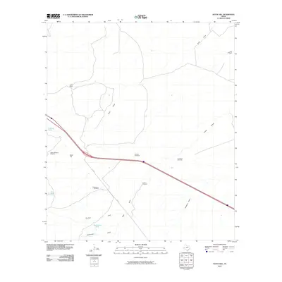 2010 Sotol Hill2010 Print · USGSReeves County ranching and water management are front and center in this early twenty-first-century survey of the Trans-Pecos. Researchers can trace the layout of Lethco Ranch and locate remote landmarks like Sotol Hill, Washington Tank, and the Canyon Windmill.
 - 2010 Map of Boracho Peak, 2010 Print
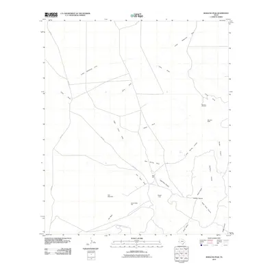 2010 Boracho Peak2010 Print · USGSCulberson County at the start of the 2010s reveals a high-desert environment where ranching survival depends on scattered water sources. Researchers can trace the rugged topography of Boracho Peak and locate historic markers like Boracho Windmill and Joes Spring.
 - 2010 Map of Bennett Ranch, 2010 Print
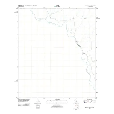 2010 Bennett Ranch2010 Print · USGSThe international border along the Rio Grande was documented in detail at the turn of the decade. Researchers can trace the ranching landscape around Bennett Ranch and identify geographic landmarks like Donahue Crossing and Hog Canyon.
 - 2010 Map of Mayfield Hills, 2010 Print
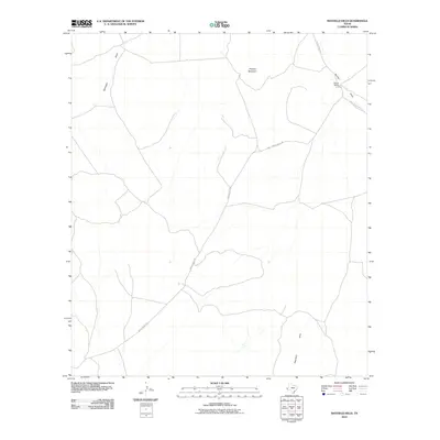 2010 Mayfield Hills2010 Print · USGSCulberson County ranch lands are documented here in the early twenty-first century, showing a remote landscape of high-desert terrain. Researchers can trace land use and elevation markers around Moon Ranch and natural landmarks like Hogeye Mountain.
 - 2010 Map of Paradise Mountain, 2010 Print
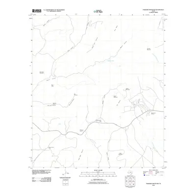 2010 Paradise Mountain2010 Print · USGSHigh-altitude ranching and religious history converge in Jeff Davis County during the early twenty-first century. Researchers can locate the historic Bloys Camp Meeting grounds and trace water sources like Barrel Spring and Bat Cave Windmill.
 - 2010 Map of Buckhorn Mountain, 2010 Print
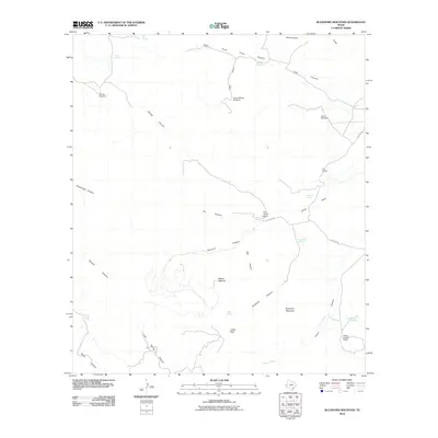 2010 Buckhorn Mountain2010 Print · USGSJeff Davis County ranchlands are documented here at the start of the 2010s, showing a landscape of remote outposts and vital water sources. Researchers can locate long-standing operations like the Zero Three Ranch and identify essential landmarks including Gomez Windmill and Shelberger Spring.
 - 2010 Map of Dowman Canyon, 2010 Print
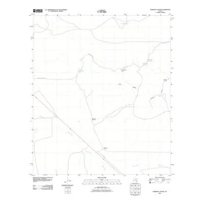 2010 Dowman Canyon2010 Print · USGSJeff Davis County at the start of the twenty-first century remains a vast landscape of high-desert ranching and remote outposts. Trace the cattle-country history through named infrastructure like Sauerkraut Windmill, Tally Slough, and the Aguacaliente Lodge.
 - 2010 Map of Mount Locke, 2010 Print
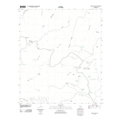 2010 Mount Locke2010 Print · USGSThe high peaks of the Davis Mountains define this corner of West Texas, dominated by the landmark McDonald Observatory at the summit of Mount Locke. Researchers and genealogists can trace the footprint of high-desert ranching at the Caldwell Ranch and find remote water sources like Pine Peak Lake and the Salcido Windmill.
 - 2010 Map of Valentine East, 2010 Print
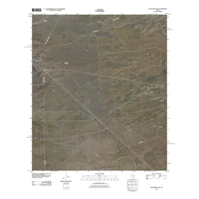 2010 Valentine East2010 Print · USGSThe High Desert of Jeff Davis County comes into focus in 2010, showing the remote ranching landscape around Valentine. Genealogists and historians can trace local travel via Old Brite Rd and locate landmarks like One Lung Windmill and Quebec.
 - 2010 Map of Boggy Draw, 2010 Print
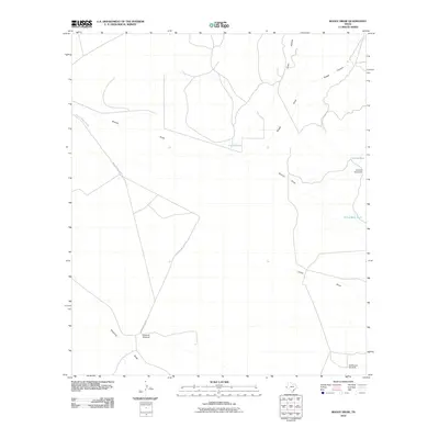 2010 Boggy Draw2010 Print · USGSJeff Davis County ranch land is captured here in the early 21st century, showing the essential water infrastructure of the Trans-Pecos. Researchers can locate named ranching landmarks such as Ninemile Windmill, Lucky Tank, and the winding Boggy Draw.
 - 2010 Map of Toyahvale, 2010 Print
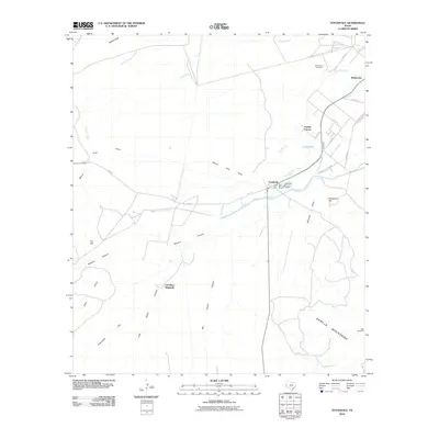 2010 Toyahvale2010 Print · USGSToyahvale and Balmorhea are seen here during the early twenty-first century, centered on the historic desert springs and irrigation networks. Researchers can trace the complex water systems from Giffin Springs to Pueblo Vitoria and locate the Balmorhea Cemetery.
 - 2010 Map of Fort Davis SE, 2010 Print
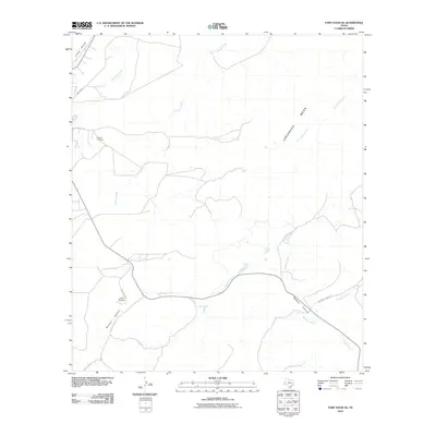 2010 Fort Davis SE2010 Print · USGSJeff Davis County's high desert landscape is captured here in the early twenty-first century, showing the rugged ranchlands south of the Davis Mountains. Trace the deep cuts of Musquiz Canyon or locate local landmarks like Camp Musquiz and Hillcrest Cemetery.
 - 2010 Map of San Antonio Pass, 2010 Print
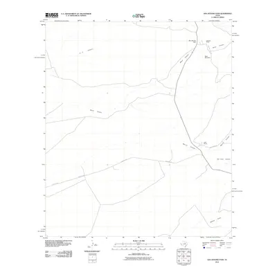 2010 San Antonio Pass2010 Print · USGSPresidio County ranching country is mapped here in the early twenty-first century, showing the remote high-desert passes and canyons. Researchers can trace the layout of the Gearhart Ranch and Kelly Ranch or locate the rugged San Antonio Pass.
 - 2010 Map of Alpine North, 2010 Print
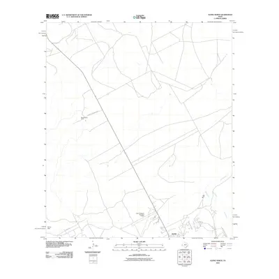 2010 Alpine North2010 Print · USGSThe high desert of Brewster County at the start of the 2010s shows a landscape of cattle ranching and modern aviation. Researchers can trace family ranching sites like Merriweather Ranch or the residential growth near Sunny Glen and the Alpine-Casparis Municipal Airport.
 - 2010 Map of Bare Mountain, 2010 Print
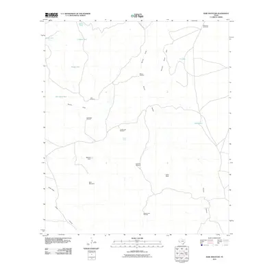 2010 Bare Mountain2010 Print · USGSJeff Davis County ranching culture is on full display in this 2010 survey of the high-desert landscape. Researchers can trace the essential water infrastructure of remote cattle operations through named features like Twiford Spring, Babcock Basin, and Reynolds Windmill.
 - 2010 Map of Last Chance Mesa, 2010 Print
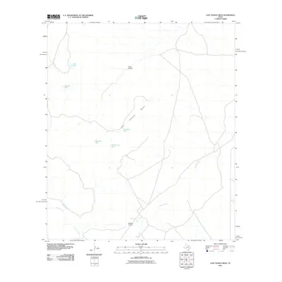 2010 Last Chance Mesa2010 Print · USGSHigh desert ranching territory in Jeff Davis County is captured here in the early twenty-first century, highlighting essential water infrastructure. Trace the rugged drainage of Musquiz Creek and locate remote stock points like Herradura Tank and Big Rock Tank.
 - 2010 Map of Barrilla Mountains East, 2010 Print
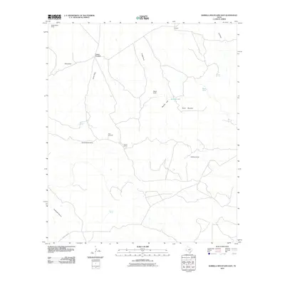 2010 Barrilla Mountains East2010 Print · USGSCuatro Caminos and the surrounding high desert ranchlands are captured here in the early twenty-first century. Researchers can trace the network of ephemeral waterways and springs that sustained local life, from Beard Spring to the prominent heights of Beard Mountain.
 - 2010 Map of Swayback Mountain, 2010 Print
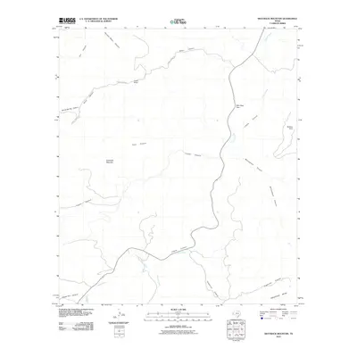 2010 Swayback Mountain2010 Print · USGSHigh desert ranching and mountain passes define this area of West Texas in the early twenty-first century. Researchers can trace the drainage of Limpia Creek through Wild Rose Pass or locate the historic Powell Ranch among the canyons.
 - 2010 Map of Chispa, 2010 Print
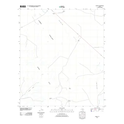 2010 Chispa2010 Print · USGSLobo Valley and the Sierra Vieja highlands define this Jeff Davis County landscape as it appeared in the early 2000s. Genealogists and historians can locate legacy ranching landmarks like the C Means Ranch, White Ranch, and the Ninety-six Windmill.
 - 2010 Map of Ryan, 2010 Print
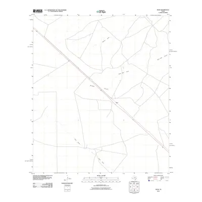 2010 Ryan2010 Print · USGSPresidio County's high desert reaches are captured here in the early twenty-first century, centered on the settlement of Ryan. Researchers can trace the path of Route 90 across the expanse of Ryan Flat and follow the seasonal tracks of Ryan Draw.
Showing maps 1-25 of 216
Top cities of Jeff Davis County
Frequently asked questions
- What are the different types of historical maps available for Jeff Davis County?
- What is the oldest map of Jeff Davis County?
- Where can I purchase historical maps of Jeff Davis County for my home or office?
- Where can I download high-res historical maps of Jeff Davis County?
- Are there historical topographic maps available for Jeff Davis County?
- Is there historical aerial imagery available for Jeff Davis County?
- Where are historical maps of Jeff Davis County sourced from?