2000s (21st Century) Maps of Upton County, Texas
Explore 150 historic maps of Upton County from the 2000s (21st Century). These maps offer a rare glimpse into what life looked like during the 2000s — showing old roads, neighborhoods, homes, and landmarks that have changed or disappeared over time.
Whether you're researching your family's past, planning a metal detecting trip, or studying how Upton County's landscape evolved across the 2000s, these high-resolution maps are a powerful tool for exploring the history of this region.
- Focus on a specific era: All maps on this page are from the 2000s, giving you a focused view of this time period.
- See what’s changed: Compare century-old streets, trails, and buildings to today's modern landscape using overlays and satellite layers.
- Research with precision: Use these maps for genealogy, historical research, land use analysis, or educational projects.
- View, download, or print: Maps are fully viewable online in high resolution, and can be downloaded or printed for your own records.
Start exploring Upton County's history through authentic maps from the 2000s. This is your window into the past.
Upton County, TX maps
(150)- 2010 Map of Rankin, 2010 Print
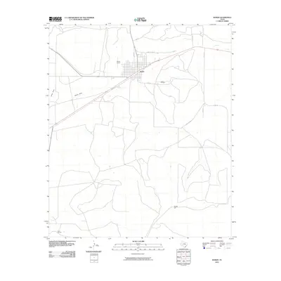 2010 Rankin2010 Print · USGSThe town of Rankin and its surrounding ranch lands appear in detail just after the first decade of the millennium. Researchers can trace the local cemetery, the Rankin Airport, and water-critical landmarks like the Taylor Windmill across this West Texas landscape.
 - 2010 Map of Girvin NE, 2010 Print
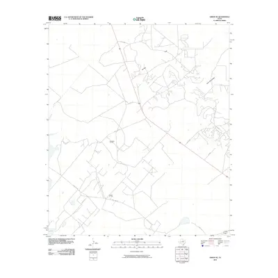 2010 Girvin NE2010 Print · USGSTexas oil production and high-desert terrain meet in Crane County during this 2010 survey. Researchers can trace the extensive network of service roads and industrial sites including the Roberdeau Oil Field, Spudder Flats, and King Mountain.
 - 2010 Map of Table Top Mountain, 2010 Print
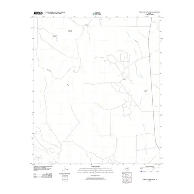 2010 Table Top Mountain2010 Print · USGSPecos County ranching and energy production are captured here in the early twenty-first century. Researchers can trace the industrial layout of the Crockett Oil Field or locate landmarks like Kelton Ranch and Table Top Mountain.
 - 2010 Map of Girvin SE, 2010 Print
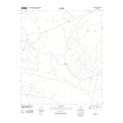 2010 Girvin SE2010 Print · USGSPecos County was a landscape of remote ranching and energy extraction during the early 2000s. Researchers can trace the river-centered geography of the Johnson Ranch, the industrial footprint of the El Cinco Oil Field, and the Adobe Crossing.
 - 2010 Map of Rankin NE, 2010 Print
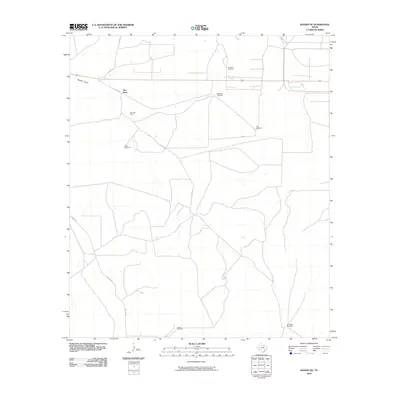 2010 Rankin NE2010 Print · USGSUpton County rangeland and energy infrastructure are the focus of this West Texas survey from the early twenty-first century. Researchers can trace land use through namesake features like Flat Rock Ranch and a series of unique landmarks like Wineglass Windmill and Flat Rock Oil Field.
 - 2010 Map of Rankin SE, 2010 Print
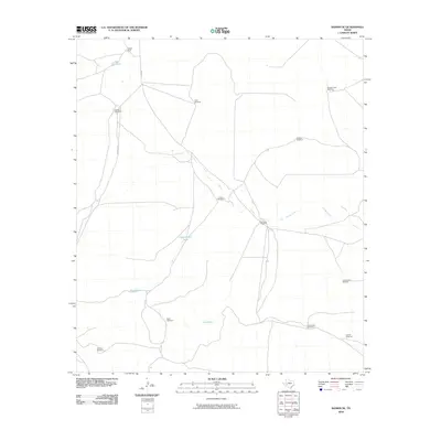 2010 Rankin SE2010 Print · USGSCrockett County ranching life is preserved here in the early 2000s, showing the vital water and wind infrastructure of the Texas plains. Trace the legacy of Noelke Ranch through local landmarks like Lake Titsworth and Schlinke Windmill.
 - 2010 Map of Cedar Canyon, 2010 Print
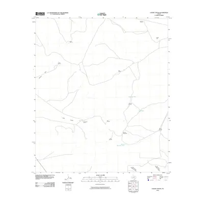 2010 Cedar Canyon2010 Print · USGSCrockett County ranching lands are shown here in the early 2000s, where water management is the primary marker of human activity. Researchers can trace the network of vital outposts like Carter Windmill and Telephone Tank near the heights of Cedar Hill.
 - 2010 Map of McCamey North, 2010 Print
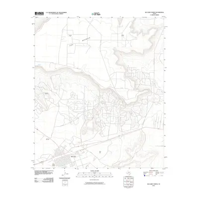 2010 McCamey North2010 Print · USGSMcCamey and the surrounding Permian Basin oil fields are captured here during a period of sustained industrial activity in the early twenty-first century. Researchers can trace local infrastructure and landmarks like Upton County Airport, the Mesa Tank Farm, and the Garden of Memories cemetery.
 - 2010 Map of Square Top Mountain, 2010 Print
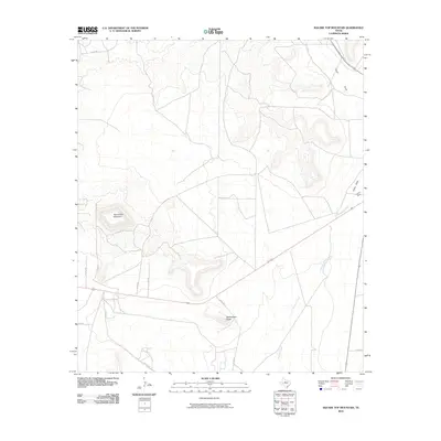 2010 Square Top Mountain2010 Print · USGSUpton County in the early twenty-first century is characterized by its high-desert topography and remote ranching routes. Researchers can trace the drainage patterns of China Draw and locate specific land markers like Square Top Mountain and Rattlesnake Butte.
 - 2010 Map of McCamey South, 2010 Print
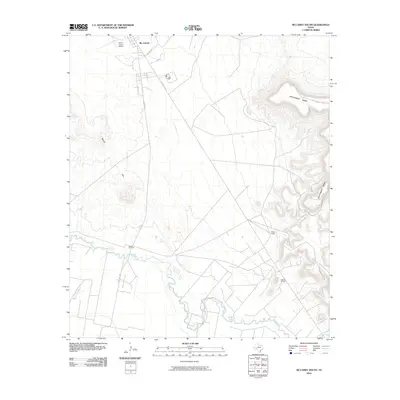 2010 McCamey South2010 Print · USGSUpton County at the turn of the decade reveals a landscape where the energy industry meets the winding Pecos River. Researchers can trace the layout of the Tippett Oil Field and locate landmarks like the Patton Ranch and Upton County Airport.
 - 2010 Map of Midkiff SE, 2010 Print
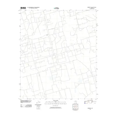 2010 Midkiff SE2010 Print · USGSReagan County in the early twenty-first century is captured here as a functional landscape of ranching and industry. Researchers can trace the layout of large landholdings like Barrett Ranch and the service road network including Canal Rd and FM 2401.
 - 2010 Map of Benge Corner SE, 2010 Print
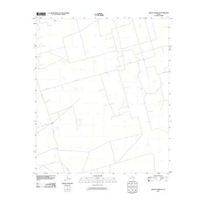 2010 Benge Corner SE2010 Print · USGSUpton County ranching lands are captured here in the early twenty-first century, showcasing the remote infrastructure of the West Texas range. Researchers can locate the Cross L Ranch and trace the isolated paths of CO RD 117 and RD 387.
 - 2010 Map of Castle Gap, 2010 Print
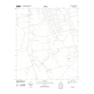 2010 Castle Gap2010 Print · USGSCrane County in the early twenty-first century is a landscape defined by the energy industry and historic desert passages. Genealogists and historians can trace local landmarks like County South Cemetery and the storied Castle Gap between the mesas.
 - 2010 Map of Sevenmile Corner SE, 2010 Print
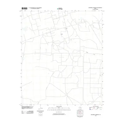 2010 Sevenmile Corner SE2010 Print · USGSReagan County's energy landscape is captured here during the first decade of the 2000s, documenting the extensive infrastructure of the Permian Basin. Researchers can trace the layout of the Benedum Oil Field, locate Benedum Camp, and follow the seasonal path of Centralia Draw.
 - 2010 Map of Sevenmile Corner NE, 2010 Print
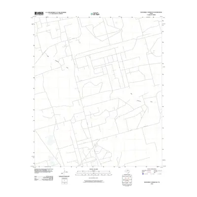 2010 Sevenmile Corner NE2010 Print · USGSReagan County ranch lands are captured here at the start of the decade, showing a landscape shaped by drainage and transit. Researchers can trace rural property access via Co Rd 112 Shell Rd, Silo Rd, and the path of High Lonesome Draw.
 - 2010 Map of Hanks Ranch, 2010 Print
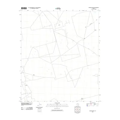 2010 Hanks Ranch2010 Print · USGSUpton County ranchland and oil fields are captured here in the early 2000s, showing the intersection of energy and agriculture. Trace the reach of the Hazel Oil Field or locate historic water sources like the Triangle Windmill and Jarboe Windmill.
 - 2010 Map of Benge Corner NW, 2010 Print
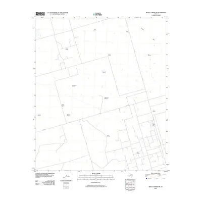 2010 Benge Corner NW2010 Print · USGSMidland County's oil and gas landscape is captured here just as the modern energy era was advancing. Researchers can trace the layout of the Pegasus Gasoline Plant and locate several family-named landmarks like the Hatley Windmill and Barnhart Windmill.
 - 2010 Map of Crane, 2010 Print
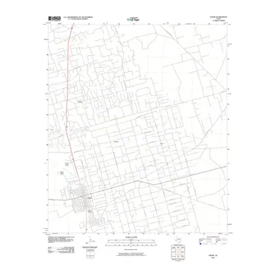 2010 Crane2010 Print · USGSCrane County at the start of the 2010s shows a landscape defined by the Permian Basin oil industry and cattle ranching. Trace the industrial network of the McElroy Oil Field and find family-named landmarks like Mayfield and the McElroy Ranch Rd.
 - 2010 Map of Midkiff SW, 2010 Print
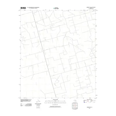 2010 Midkiff SW2010 Print · USGSUpton County is shown at a peak of modern industrial connectivity in this early twenty-first-century survey of the West Texas plains. Researchers can trace the extensive network of ranch and oil-access routes, including FM 2401, Co Rd 116, and Co Rd 118 E.
 - 2010 Map of Midkiff, 2010 Print
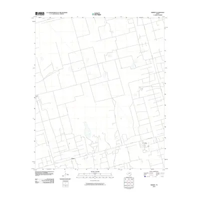 2010 Midkiff2010 Print · USGSMidkiff and the surrounding ranch lands are captured here during the peak of contemporary resource extraction in West Texas. Researchers can trace the industrial footprint of the Midkiff Gas Plant and the layout of local work centers like Midkiff Camp along FM 2401.
 - 2010 Map of Marlboro Canyon SE, 2010 Print
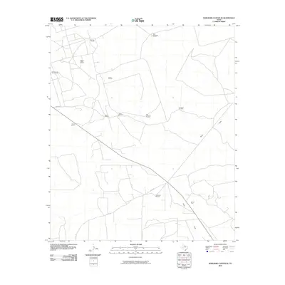 2010 Marlboro Canyon SE2010 Print · USGSUpton County ranching and oil production are centered here at the start of the 2010s. Trace the distribution of water sources and energy infrastructure including Amacker Tippett Oil Field, China Draw, and High Lonesome Windmill.
 - 2010 Map of Marlboro Canyon, 2010 Print
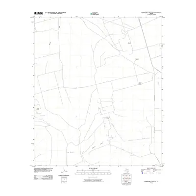 2010 Marlboro Canyon2010 Print · USGSUpton County ranchlands and energy fields meet along the high terrain of the Edwards Plateau in the early twenty-first century. Researchers can trace the layout of the King Mountain Oil Field and locate isolated landmarks like the Eddelman Windmill and Mayfield Draw.
 - 2010 Map of Lindsey Ranch, 2010 Print
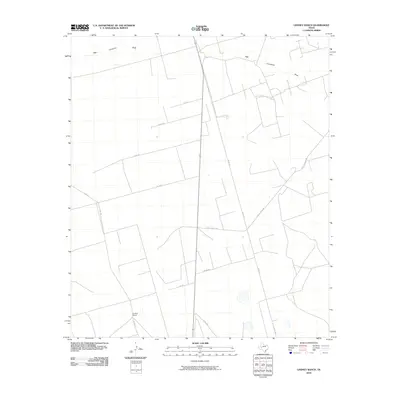 2010 Lindsey Ranch2010 Print · USGSUpton County ranchlands and draws are captured here in the early twenty-first century, showing the intersection of local industry and the West Texas environment. Researchers can trace the layout of private holdings like Lindsey Ranch and the course of High Lonesome Draw.
 - 2010 Map of South Cowden Ranch, 2010 Print
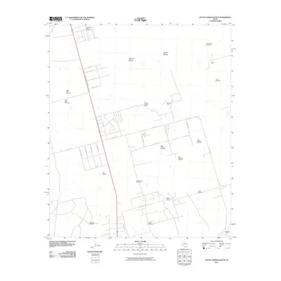 2010 South Cowden Ranch2010 Print · USGSTexas ranching meets the Permian Basin oil boom in this study of the landscape south of Odessa. Genealogists and historians can locate family-named landmarks like the South Cowden Ranch and dozens of specific water features such as the Hillbilly Windmill and Sheep Camp Windmill.
 - 2010 Map of Benge Corner SW, 2010 Print
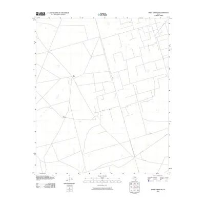 2010 Benge Corner SW2010 Print · USGSThe ranchlands of Upton County were marked by energy production and livestock routes during the early 2000s. Researchers can locate specific infrastructure like the Davis Oil Field and Bug Windmill, alongside long-established holdings such as Barr Ranch.
Showing maps 1-25 of 150
Top cities of Upton County
Frequently asked questions
- What are the different types of historical maps available for Upton County?
- What is the oldest map of Upton County?
- Where can I purchase historical maps of Upton County for my home or office?
- Where can I download high-res historical maps of Upton County?
- Are there historical topographic maps available for Upton County?
- Is there historical aerial imagery available for Upton County?
- Where are historical maps of Upton County sourced from?