2020s Maps of Skamania County, Washington
Explore 95 historic maps of Skamania County from the 2020s. These maps offer a rare glimpse into what life looked like during the 2020s — showing old roads, neighborhoods, homes, and landmarks that have changed or disappeared over time.
Whether you're researching your family's past, planning a metal detecting trip, or studying how Skamania County's landscape evolved across the 2020s, these high-resolution maps are a powerful tool for exploring the history of this region.
- Focus on a specific era: All maps on this page are from the 2020s, giving you a focused view of this time period.
- See what’s changed: Compare century-old streets, trails, and buildings to today's modern landscape using overlays and satellite layers.
- Research with precision: Use these maps for genealogy, historical research, land use analysis, or educational projects.
- View, download, or print: Maps are fully viewable online in high resolution, and can be downloaded or printed for your own records.
Start exploring Skamania County's history through authentic maps from the 2020s. This is your window into the past.
Skamania County, WA maps
(95)- 2020 Map of Big Huckleberry Mountain, 2020 Print
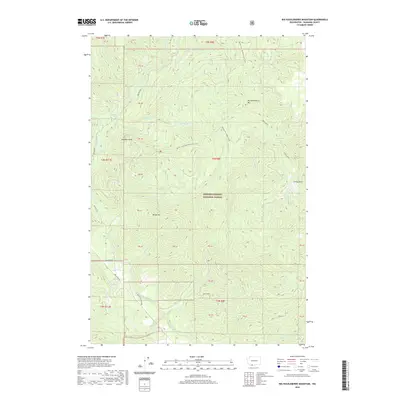 2020 Big Huckleberry Mountain2020 Print · USGSSkamania County's high ridges and river valleys are captured here as they appeared in 2020. Hikers and historians can trace the Pacific Crest National Scenic Trail past landmarks like Big Huckleberry Mtn, Gobblers Knob, and the historic Old State Road.
 - 2020 Map of Gifford Peak, 2020 Print
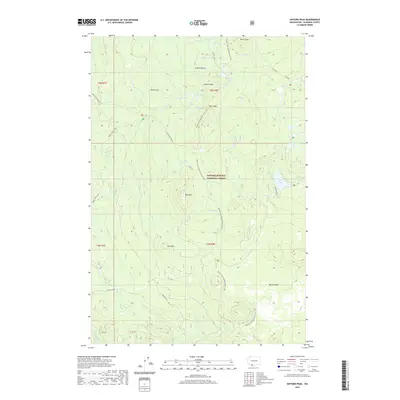 2020 Gifford Peak2020 Print · USGSThe high volcanic plateau of Skamania County is documented here in the modern era, showing the protected wilderness of the Gifford Pinchot National Forest. Trace the legendary Pacific Crest National Scenic Trail as it passes Gifford Peak and the historic Indian Racetrack.
 - 2020 Map of Stabler, 2020 Print
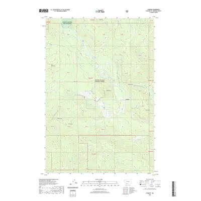 2020 Stabler2020 Print · USGSSkamania County's forested river valleys and high peaks are documented here in the early twenty-first century. Researchers can trace the path of the Pacific Crest National Scenic Trail and locate sites like the Carson National Fish Hatchery and the settlement of Stabler.
 - 2020 Map of Little Huckleberry Mountain, 2020 Print
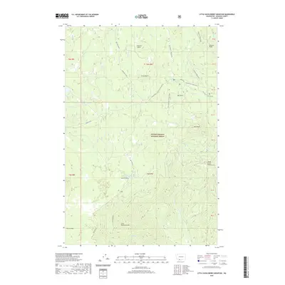 2020 Little Huckleberry Mountain2020 Print · USGSSkamania County's high-country terrain is captured here in the modern era, showing a landscape defined by volcanic peaks and winter recreation trails. Hikers and historians can trace routes through the Gifford Pinchot National Forest past landmarks like Little Huckleberry Mtn, Peterson Butte, and the Big Lava Bed.
 - 2020 Map of Guler Mountain, 2020 Print
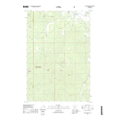 2020 Guler Mountain2020 Print · USGSKlickitat and Skamania counties meet here in the shadow of the Monte Cristo Range during the early twenty-first century. Researchers can trace forest roads and local watercourses like Little White Salmon River to find landmarks such as Lava Bridge, Stadleman Swamp, and Guler.
 - 2020 Map of Willard, 2020 Print
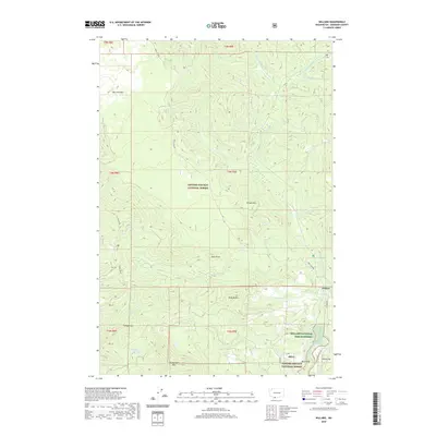 2020 Willard2020 Print · USGSSkamania County's forested river valleys are shown in the modern era, centering on the timber-linked settlements of Mill A and Willard. Researchers can trace the local geography from Big Lava Bed to the historic Willard National Fish Hatchery.
 - 2020 Map of Carson, 2020 Print
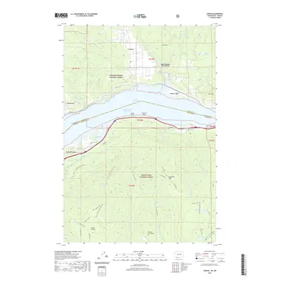 2020 Carson2020 Print · USGSThe Columbia River Gorge comes into focus in this recent survey of the Washington-Oregon borderlands. Genealogists and hikers can trace the Pacific Crest National Scenic Trail as it passes near Saint Martins Hot Springs, Wyeth Cem, and the village of Carson.
 - 2020 Map of Termination Point, 2020 Print
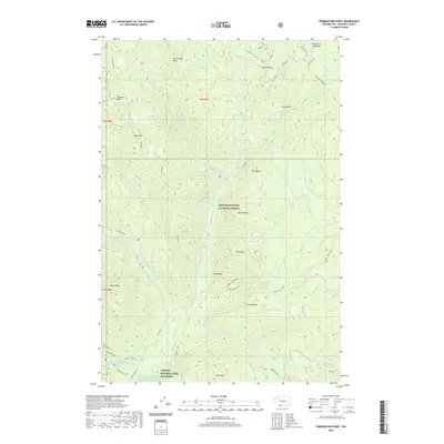 2020 Termination Point2020 Print · USGSSkamania County’s high country in the modern era is a landscape of protected forests and intricate trail networks. Researchers can trace the layout of the Carson National Fish Hatchery and natural landmarks like Lava Butte and Falls Creek Falls.
 - 2020 Map of Penny Ridge, 2020 Print
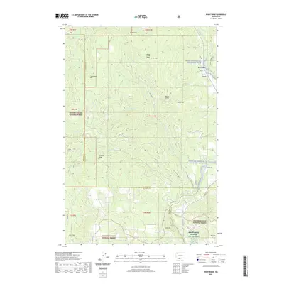 2020 Penny Ridge2020 Print · USGSKlickitat and Skamania counties are shown here as they appeared recently, centered on the high ridges of the Monte Cristo Range. You can trace the rural infrastructure around B Z Corner and the grounds of the Spring Creek National Fish Hatchery.
 - 2020 Map of Dole, 2020 Print
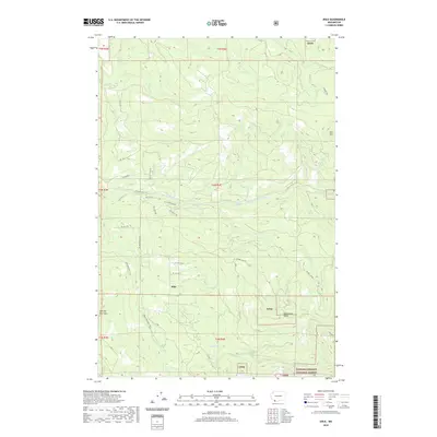 2020 Dole2020 Print · USGSThe foothills of Clark County come into focus during the early twenty-first century, centered on the settlement of Dole. Genealogists and hikers can trace the Bells Mountain Trail and identify local landmarks like Horseshoe Falls or the Yacolt Reservoir.
 - 2020 Map of Beacon Rock, 2020 Print
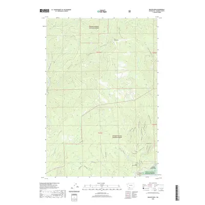 2020 Beacon Rock2020 Print · USGSSkamania County's steep riverfront and forest heights are recorded here as they appeared in 2020. Hikers and historians can trace the Pacific Crest National Scenic Trail past Three Corners Rock or locate landmarks near North Bonneville like Beacon Rock.
 - 2020 Map of Gumboot Mountain, 2020 Print
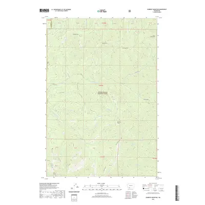 2020 Gumboot Mountain2020 Print · USGSThe Gifford Pinchot National Forest backcountry in the early 2020s remains a landscape of high ridges and deep river canyons. Genealogists and hikers can trace historic routes like Ed's Trail and Starway near landmarks such as Silver Star Mtn and Gumboot Mtn.
 - 2020 Map of Larch Mountain, 2020 Print
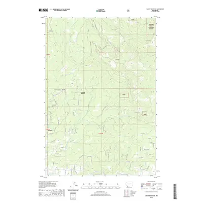 2020 Larch Mountain2020 Print · USGSSouthern Clark County and the forest fringe come alive in this recent survey, showing the transition from rural settlements to the mountain peaks. Genealogists and hikers can trace old routes near Ireland and Bear Prairie, or locate landmarks like Larch Mtn and Pyramid Rock.
 - 2020 Map of Spirit Lake West, 2020 Print
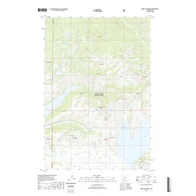 2020 Spirit Lake West2020 Print · USGSThe high Cascades near the Cowlitz and Skamania county line are shown here as they appeared in the years following the 1980 eruption. Researchers can trace the dramatic landscape around Coldwater Lake, including landmarks like Coldwater Peak and Johnston Ridge.
 - 2020 Map of Cowlitz Falls, 2020 Print
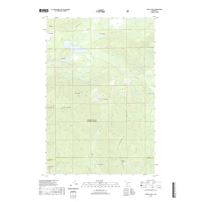 2020 Cowlitz Falls2020 Print · USGSThe Lewis County high country near Cispus is captured here during the modern era of hydroelectric development. Researchers can trace the rugged drainage of Lake Scanewa and locate specific peaks like Strawberry Mtn and Huffaker Mtn.
 - 2020 Map of Vanson Peak, 2020 Print
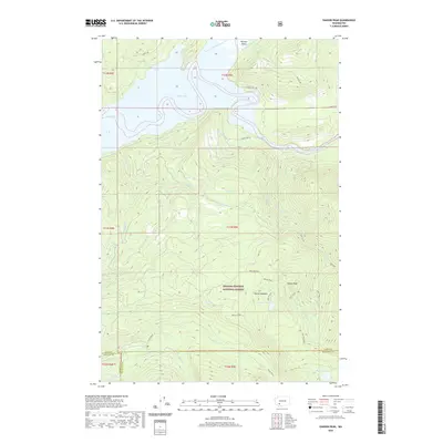 2020 Vanson Peak2020 Print · USGSThe high ridges of the southern Washington Cascades are mapped here in the modern era, showing the intersection of industrial timberlands and national forest. Researchers can trace historic logging access via Champion Haul Rd or locate high-country landmarks like Vanson Meadow and Deadmans Lake.
 - 2020 Map of Spencer Butte, 2020 Print
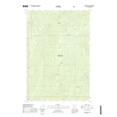 2020 Spencer Butte2020 Print · USGSSkamania County's high-country terrain within the Gifford Pinchot National Forest is documented here during the early twenty-first century. Researchers can trace forest management landmarks and water features like Lower Falls, Spencer Butte, and the Lewis River.
 - 2020 Map of McCoy Peak, 2020 Print
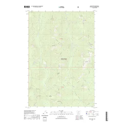 2020 McCoy Peak2020 Print · USGSSkamania County's high ridges and deep drainages are documented here in the 2020s within the Gifford Pinchot National Forest. Modern researchers can trace the routes between Yellowjacket Pass, McCoy Peak, and the secluded Blue Lake 3.
 - 2020 Map of French Butte, 2020 Print
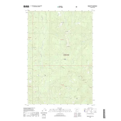 2020 French Butte2020 Print · USGSSkamania County's high Cascades are documented in the 2020s, showing a landscape defined by volcanic peaks and deep forest drainages. Researchers can trace remote landmarks like Elk Pass, Snyder Pasture, and the marshy grounds of Mosquito Meadows.
 - 2020 Map of Spirit Lake East, 2020 Print
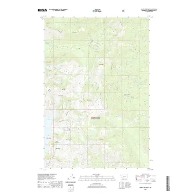 2020 Spirit Lake East2020 Print · USGSThe wilderness of the Cascades comes into focus in this modern survey of Skamania County. Researchers and hikers can trace the geography around Spirit Lake, the high vistas of Windy Ridge, and the remote waters of Saint Charles Lake and Meta Lake.
 - 2020 Map of Mount Mitchell, 2020 Print
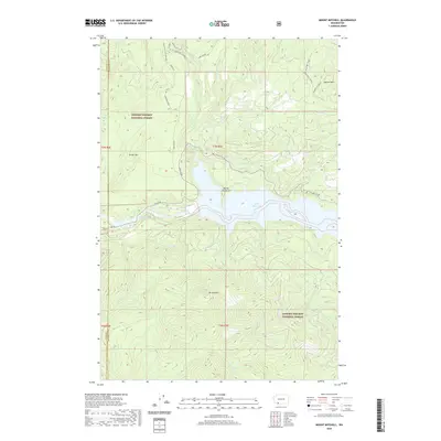 2020 Mount Mitchell2020 Print · USGSThe southern Gifford Pinchot National Forest is captured here at the start of the 2020s, showing the intersection of volcanic geology and modern infrastructure. Explore the heights of Mt Mitchell or trace subterranean features like Ape Cave and Lava Canyon.
 - 2020 Map of East Canyon Ridge, 2020 Print
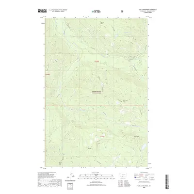 2020 East Canyon Ridge2020 Print · USGSSkamania County's high ridges and river valleys are captured here in the contemporary era. Researchers can trace the path of the Randle-Trout Lake route and locate landmarks like Summit Prairie, Council Bluff, and Blue Lake.
 - 2020 Map of Lone Butte, 2020 Print
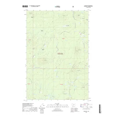 2020 Lone Butte2020 Print · USGSSkamania County's high-country wilderness is documented here in the early twenty-first century, showing a landscape defined by volcanic peaks and alpine lakes. Hikers and researchers can trace the Pacific Crest National Scenic Trail past Lone Butte and through the Indian Heaven wilderness.
 - 2020 Map of Smith Creek Butte, 2020 Print
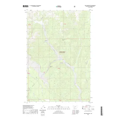 2020 Smith Creek Butte2020 Print · USGSSkamania County's volcanic wilderness is charted here in the years following its modern geological transformations. Researchers can trace the rugged drainages of Ape Canyon and Lava Canyon or locate the site of Paradise Falls.
 - 2020 Map of Trout Lake, 2020 Print
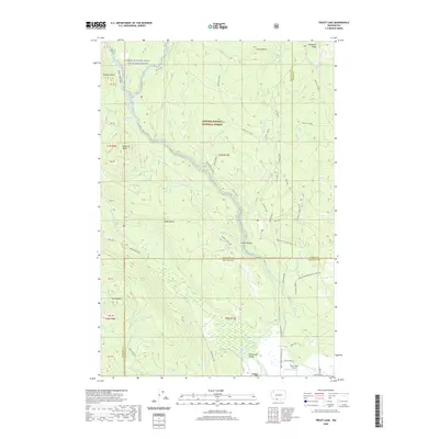 2020 Trout Lake2020 Print · USGSThe Trout Lake Valley at the start of the 2020s shows a landscape of mountain watersheds and small-town aviation. Researchers can trace the courses of the White Salmon River and Trout Lake Creek past local landmarks like Guler and the Trout Lake Airport.
Showing maps 1-25 of 95
Top cities of Skamania County
Frequently asked questions
- What are the different types of historical maps available for Skamania County?
- What is the oldest map of Skamania County?
- Where can I purchase historical maps of Skamania County for my home or office?
- Where can I download high-res historical maps of Skamania County?
- Are there historical topographic maps available for Skamania County?
- Is there historical aerial imagery available for Skamania County?
- Where are historical maps of Skamania County sourced from?