2020s Maps of Natrona County, Wyoming
Explore 122 historic maps of Natrona County from the 2020s. These maps offer a rare glimpse into what life looked like during the 2020s — showing old roads, neighborhoods, homes, and landmarks that have changed or disappeared over time.
Whether you're researching your family's past, planning a metal detecting trip, or studying how Natrona County's landscape evolved across the 2020s, these high-resolution maps are a powerful tool for exploring the history of this region.
- Focus on a specific era: All maps on this page are from the 2020s, giving you a focused view of this time period.
- See what’s changed: Compare century-old streets, trails, and buildings to today's modern landscape using overlays and satellite layers.
- Research with precision: Use these maps for genealogy, historical research, land use analysis, or educational projects.
- View, download, or print: Maps are fully viewable online in high resolution, and can be downloaded or printed for your own records.
Start exploring Natrona County's history through authentic maps from the 2020s. This is your window into the past.
Natrona County, WY maps
(122)- 2021 Map of Horse Peak, 2021 Print
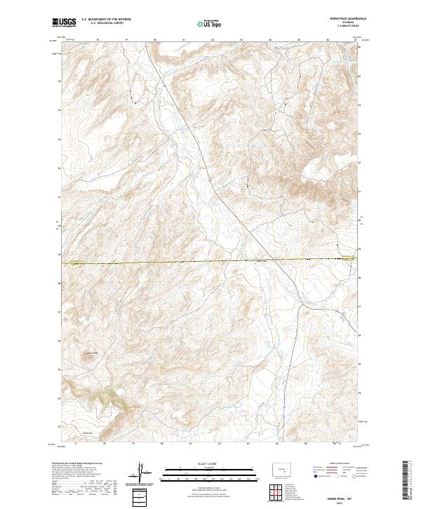 2021 Horse Peak2021 Print · USGSThe high country of Natrona and Carbon Counties comes into focus in this recent survey of the Wyoming landscape. Researchers can trace the path of the Bates Hole Stock Trl as it winds toward landmarks like Horse Peak and Chalk Mtn.
 - 2021 Map of Garfield Peak, 2021 Print
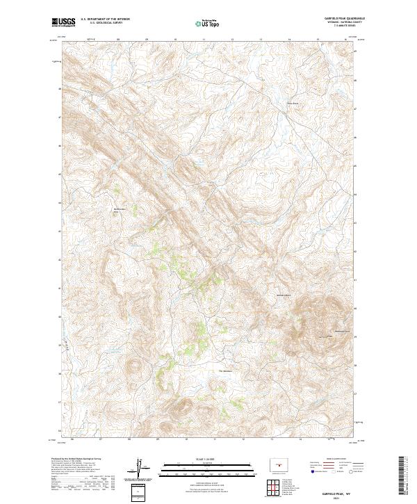 2021 Garfield Peak2021 Print · USGSCentral Wyoming's high desert reveals its ranching and geological character in this 2021 survey of Natrona County. Researchers can trace land use patterns near Garfield Peak and identify water sources like Lady Emma Reservoir and Six Mile Reservoir.
 - 2021 Map of Anderson Draw, 2021 Print
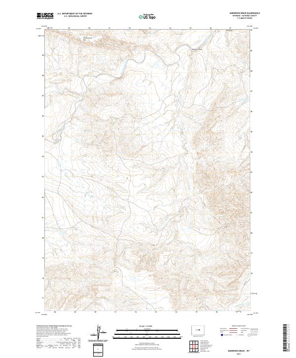 2021 Anderson Draw2021 Print · USGSNatrona County's high-plains landscape is captured in this recent survey of the rugged drainage basins north of Casper. Researchers can trace the winding course of the S Fork Powder River and the sharp relief of Cottonwood Rim and Anderson Draw.
 - 2021 Map of Bear Spring, 2021 Print
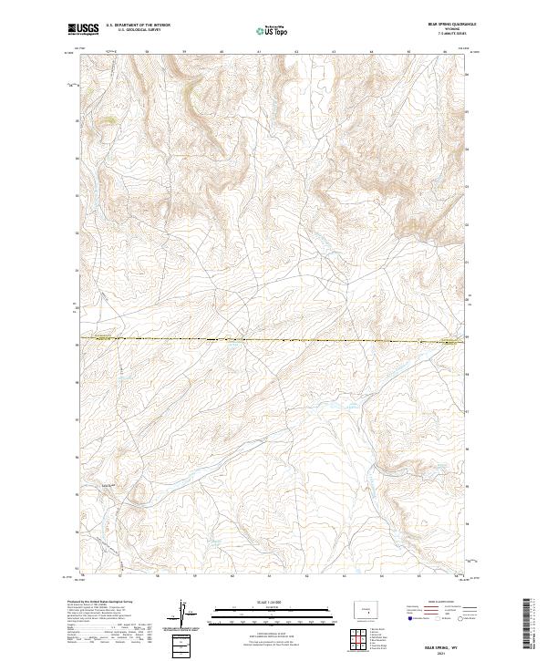 2021 Bear Spring2021 Print · USGSNatrona and Carbon Counties are captured here in the early twenty-first century, showing a high-plains landscape shaped by vital water sources. Researchers can trace land use through named features like Anda Reservoir, Josendal Springs, and Pedro Mountain Ranch Rd.
 - 2021 Map of Miles Ranch, 2021 Print
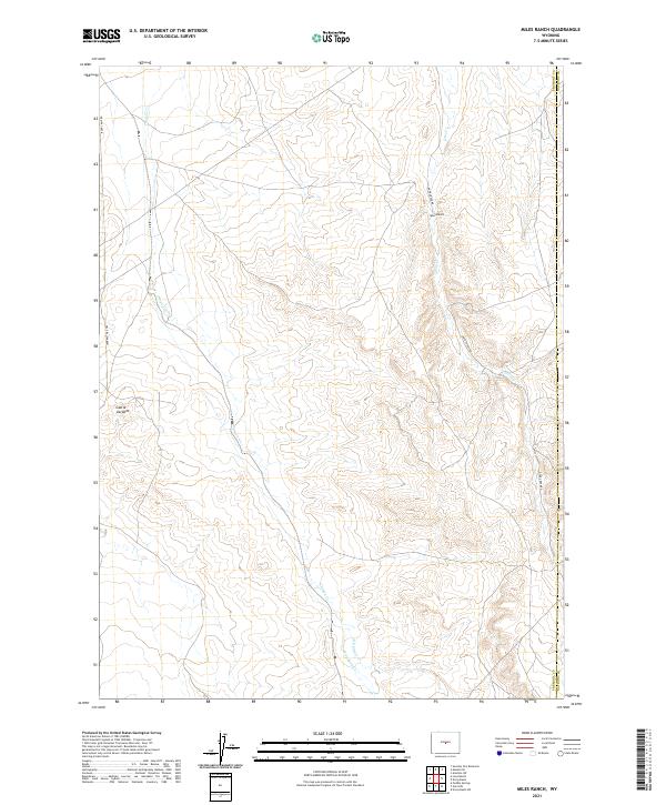 2021 Miles Ranch2021 Print · USGSThe ranching country of eastern Fremont County is captured here in the early twenty-first century, showing the intersection of isolated cattle lands and high-plains geology. Trace the paths of Deer Creek Rd past the Miles Ranch and explore the rock formations of Castle Gardens.
 - 2021 Map of Beauchamp Reservoir, 2021 Print
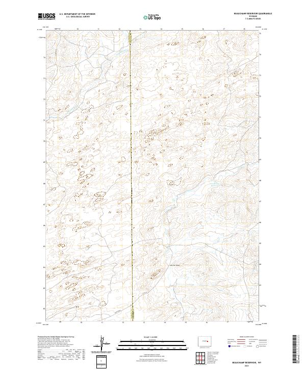 2021 Beauchamp Reservoir2021 Print · USGSThe borderlands of Natrona and Converse counties are captured here in the early twenty-first century, showing a remote landscape of ranching and high-plains water management. Researchers can trace rural infrastructure through Beauchamp Reservoir, the drainage of Derrick Draw, and the path of Sage Creek.
 - 2021 Map of Freeland, 2021 Print
 2021 Freeland2021 Print · USGSNatrona County's high-country terrain and ranching roots are well-documented in this recent survey of the area south of Casper. Genealogists and historians can locate the Freeland Cem and trace historical travel along the Old Casper Medicine Bow Hwy and Two Bar Rd.
 - 2021 Map of Independence Rock, 2021 Print
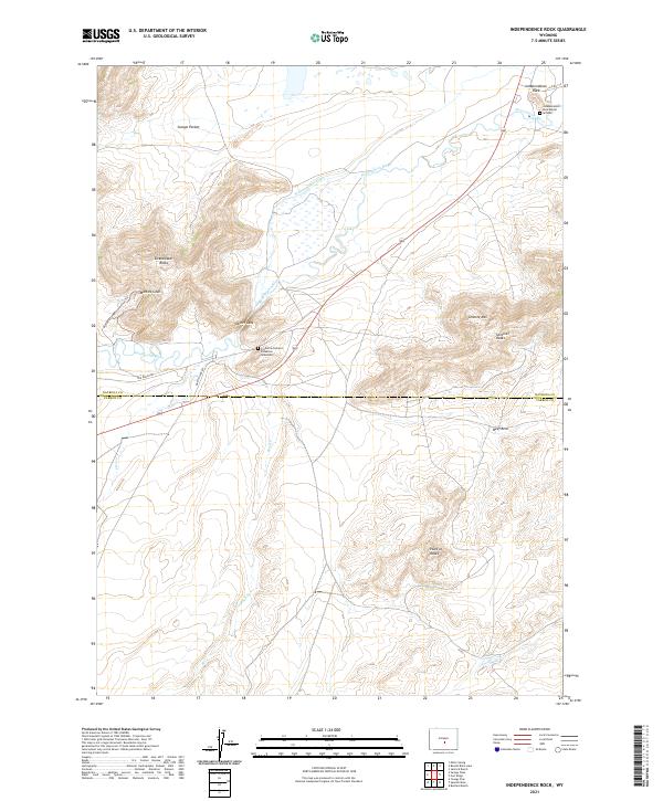 2021 Independence Rock2021 Print · USGSThe Sweetwater River valley is documented here at the turn of the twenty-first century, preserving the geography of the Oregon Trail. Trace pioneer history at Independence Rock, the Frederick Richard Fulkerson Gravesite, and Devils Gate.
 - 2021 Map of Pine Mountain SW, 2021 Print
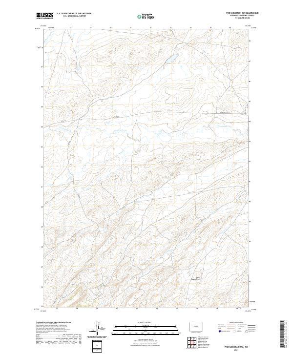 2021 Pine Mountain SW2021 Print · USGSNatrona County's high plains and ranchlands are captured here in the early twenty-first century. Genealogists and local historians can trace the drainage basins of Poison Spider Creek and the path of County Road 201 across this open landscape.
 - 2021 Map of Gaylord Reservoir, 2021 Print
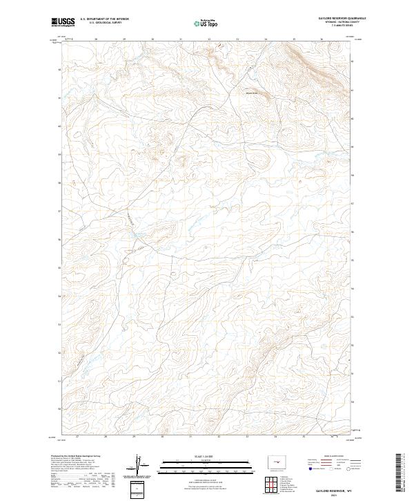 2021 Gaylord Reservoir2021 Print · USGSNatrona County's ranching and watershed patterns are captured in this modern survey of the Wyoming high plains. Researchers can trace the winding course of the Middle Fork Casper Cr and locate water sources like Gaylord Reservoir and Wallace Cr.
 - 2021 Map of Poison Spider, 2021 Print
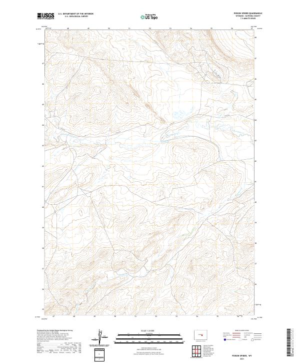 2021 Poison Spider2021 Print · USGSNatrona County's high plains are documented here in the early twenty-first century, showing the intersection of water and industry. Researchers can trace the path of Poison Spider Cr and the route of Oil Camp Rd through this drainage basin.
 - 2021 Map of Lone Mountain, 2021 Print
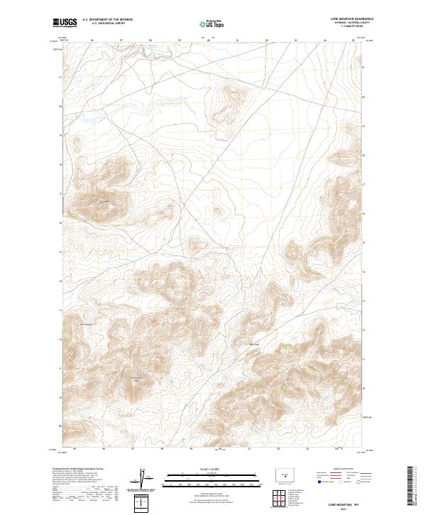 2021 Lone Mountain2021 Print · USGSCentral Wyoming's high country is captured here during the early twenty-first century, showing a landscape defined by ranching history and natural landmarks. Researchers can trace land patterns around Lone Mtn, the drainage of Sage Hen Creek, and local crossings like Beef Gap.
 - 2021 Map of Reid Canyon, 2021 Print
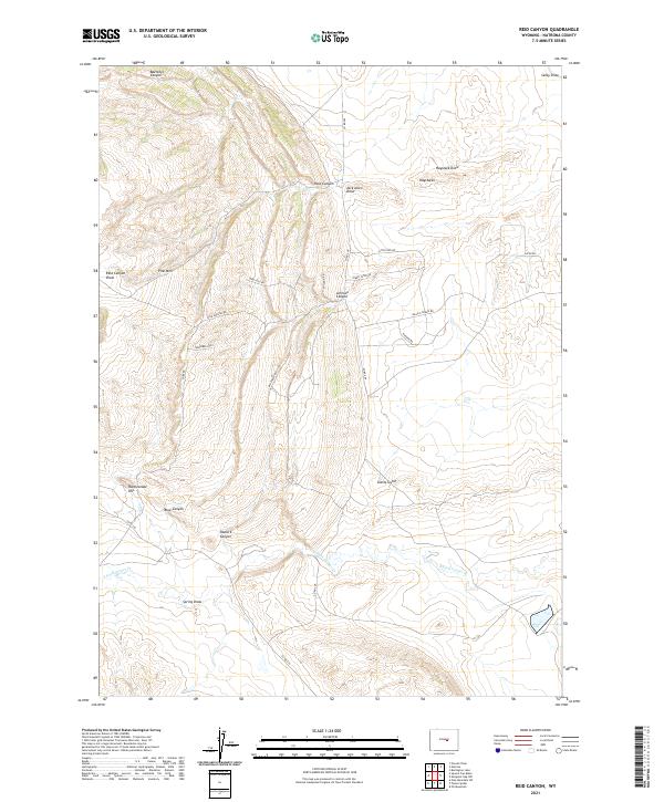 2021 Reid Canyon2021 Print · USGSThe high Wyoming plains of Natrona County are captured here in the early twenty-first century. Researchers can trace the rugged topography of Pine Mtn, the drainage of S Fork Casper Cr, and curiously named routes like Big Cheese Rd.
 - 2021 Map of Otter Creek, 2021 Print
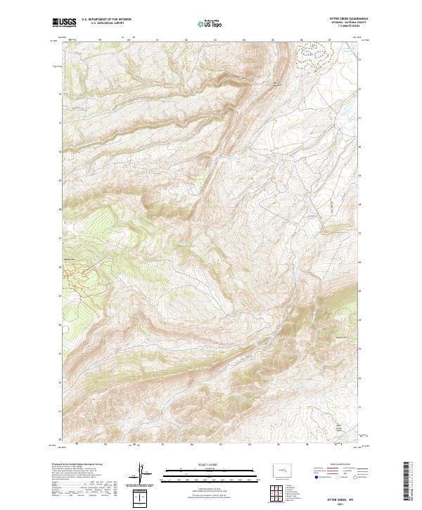 2021 Otter Creek2021 Print · USGSNatrona County's high plains are captured in the early twenty-first century, revealing a landscape shaped by drainage and water management. Researchers can trace the paths of Clear-Fork Muddy Cr and Beaver Cr or locate the McDonald Reservoir.
 - 2021 Map of Illco, 2021 Print
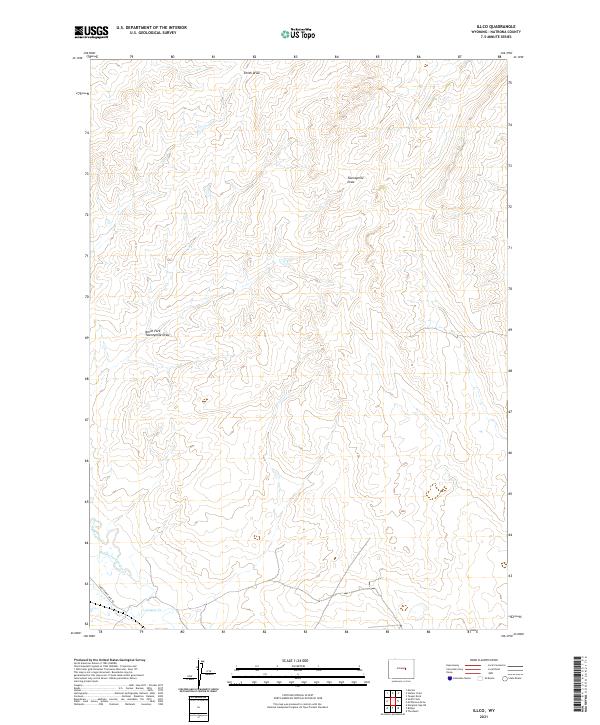 2021 Illco2021 Print · USGSNatrona County in the early twenty-first century remains a landscape of wide-open spaces and critical drainage basins. Researchers can trace the path of Thirtythree Mile Rd as it nears the Casper Cr and its various forks.
 - 2021 Map of Beulah Belle Lake, 2021 Print
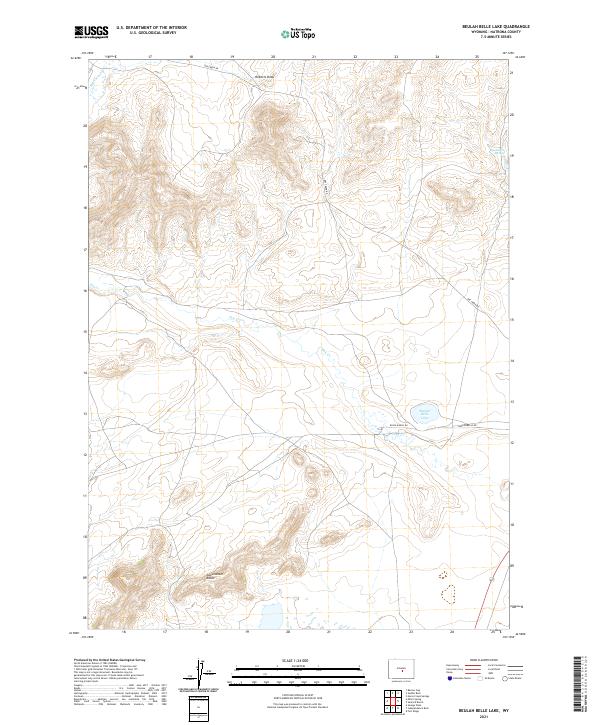 2021 Beulah Belle Lake2021 Print · USGSNatrona County's high plains landscape remains defined by remote ranching routes and rocky outcrops in the early twenty-first century. Researchers can trace land boundaries near Sweetwater Rocks and find vital water points like Beulah Belle Lake and Black Rock Springs.
 - 2021 Map of Benton Basin, 2021 Print
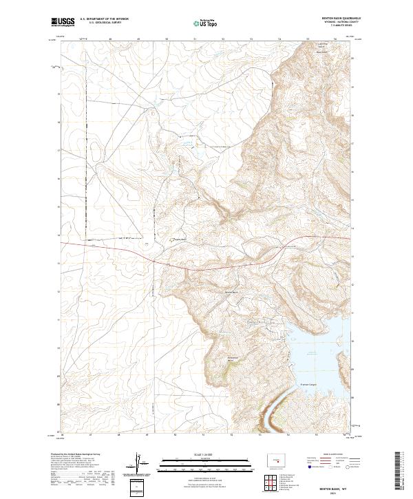 2021 Benton Basin2021 Print · USGSNatrona County's high-country hydrology is on full display in this modern survey of the North Platte River corridor. Researchers can trace the shoreline of Alcova Reservoir and locate local landmarks such as Benton Basin, Fremont Canyon, and Childers Reservoir.
 - 2021 Map of Big Sulfur Draw, 2021 Print
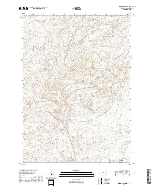 2021 Big Sulfur Draw2021 Print · USGSNatrona County's high plains are revealed here in the modern era, showing a landscape defined by cattle ranching and essential water management. Researchers can trace historic water sources and landmarks like Big Sulfur Spring, Suicide Bed Grounds Reservoir, and the winding Thirtythree Mile Rd.
 - 2021 Map of Powder River, 2021 Print
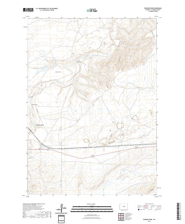 2021 Powder River2021 Print · USGSNatrona County's high plains are documented here in the early twenty-first century, showing a landscape shaped by water rights and stock movement. Researchers can trace the Cottonwood Stock Trl and investigate the area around Brewer Reservoir and Pine Mtn.
 - 2021 Map of Cave Gulch Reservoir, 2021 Print
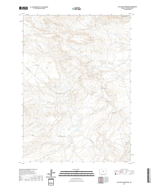 2021 Cave Gulch Reservoir2021 Print · USGSNatrona County's high plains are documented here in the early twenty-first century, showing a landscape shaped by ranching and water management. Researchers can trace the path of the Cottonwood Stock Trl and locate remote landmarks like Cave Gulch Reservoir and Cottonwood Rim.
 - 2021 Map of Bear Mountain, 2021 Print
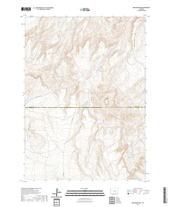 2021 Bear Mountain2021 Print · USGSThe high ridges of Natrona and Carbon Counties are captured in this recent survey, showcasing a landscape defined by seasonal drainages and remote mountain terrain. Genealogists and land researchers can trace the routes of Bolton Creek Rd and Dry Creek Rd as they navigate the slopes around Bear Mtn.
 - 2021 Map of Campbell Hill, 2021 Print
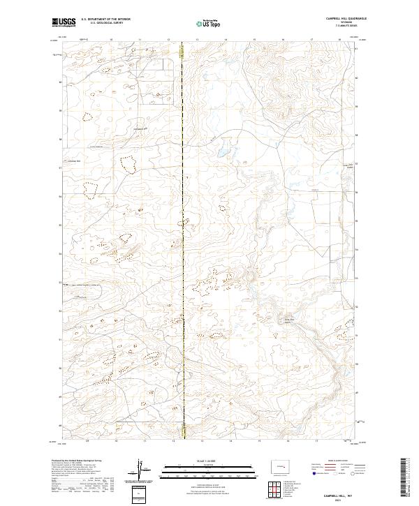 2021 Campbell Hill2021 Print · USGSThe Natrona and Converse County line crosses this Wyoming landscape in the early 2020s, showing a region of high prairie and deep gulches. Researchers can trace the elevation of Campbell Hill or follow the path of Cole Cr and Lone Tree Gulch.
 - 2021 Map of Salt Creek, 2021 Print
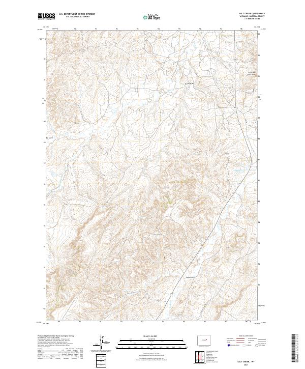 2021 Salt Creek2021 Print · USGSNatrona County's high plains are documented here in recent years, showing a landscape defined by drainage networks and historical routes. Researchers can trace the Old Salt Creek Hwy past Castle Rock and the Fensland-Number 2 Reservoir.
 - 2021 Map of Benton Basin NE, 2021 Print
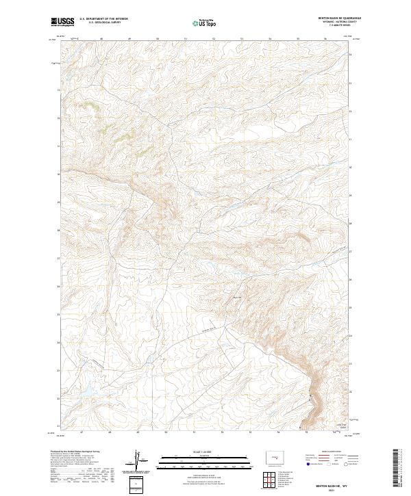 2021 Benton Basin NE2021 Print · USGSNatrona County's high plains are revealed in this recent survey, showing the historic route of the western migration. Researchers can trace the path of Emigrant Trail Rd past notable landmarks like Ryan Hill and the essential Willow Spring.
 - 2021 Map of Sheep Creek, 2021 Print
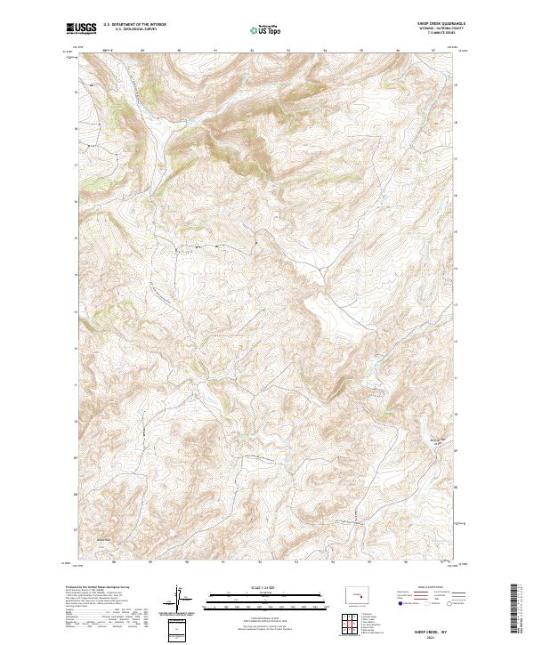 2021 Sheep Creek2021 Print · USGSCentral Wyoming at the start of the 2020s shows a landscape of deep drainages and early automotive history. Trace the path of the Old Casper Medicine Bow Hwy as it passes Bates Hole and crosses Bates Creek.
Showing maps 1-25 of 122
Top cities of Natrona County
- Casper historical maps
- Mills historical maps
- Bar Nunn historical maps
- Evansville historical maps
- Vista West historical maps
- Hartrandt historical maps
See more
Frequently asked questions
- What are the different types of historical maps available for Natrona County?
- What is the oldest map of Natrona County?
- Where can I purchase historical maps of Natrona County for my home or office?
- Where can I download high-res historical maps of Natrona County?
- Are there historical topographic maps available for Natrona County?
- Is there historical aerial imagery available for Natrona County?
- Where are historical maps of Natrona County sourced from?