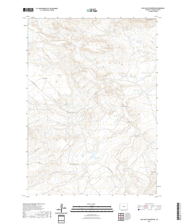
2021 Map of Cave Gulch Reservoir
USGS Topo · Published 2021About this map
The S Fork Powder River and its seasonal drainages define this remote reach of Natrona County, where water management is central to the landscape. Central to the area is the Cave Gulch Reservoir, accompanied by the Burke Reservoir to the northwest, both serving as vital water sources for local livestock operations in an arid environment. The map records a network of historical transit routes, most notably the Cottonwood Stock Trl, which traverses the high ground of Cactus Flat. The rugged topography is characterized by distinct geological features like Cottonwood Rim and several significant erosional channels, including Okie Draw and Mikes Draw. This modern survey illustrates the persistent use of these lands for traditional ranching and grazing, connected by rugged tracks such as Flory Sullivan Rd and Barron Rd.
Find a feature on this map
16 named features on this map. Tap any name to fly to it.
Don’t see what you’re looking for? This feature index may not catch every label — zoom into the map to look around manually.
Map Details
Editions of this 2021 Cave Gulch Reservoir Map
This is the sole edition of this map. No revisions or reprints were ever made.
Other maps of this area

1955 · Arminto
USGS Topo · 1:250,000

1958 · Arminto
USGS Topo · 1:250,000

1962 · Arminto
USGS Topo · 1:250,000
1968 · Notches Dome
USGS Topo · 1:24,000

1968 · Big Sulfur Draw
USGS Topo · 1:24,000
1968 · Anderson Draw
USGS Topo · 1:24,000
1968 · Natrona
USGS Topo · 1:24,000

1968 · Flat Top Hill
USGS Topo · 1:24,000
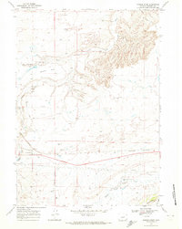
1968 · Powder River
USGS Topo · 1:24,000
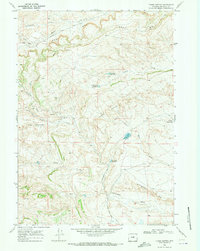
1968 · Three Buttes
USGS Topo · 1:24,000