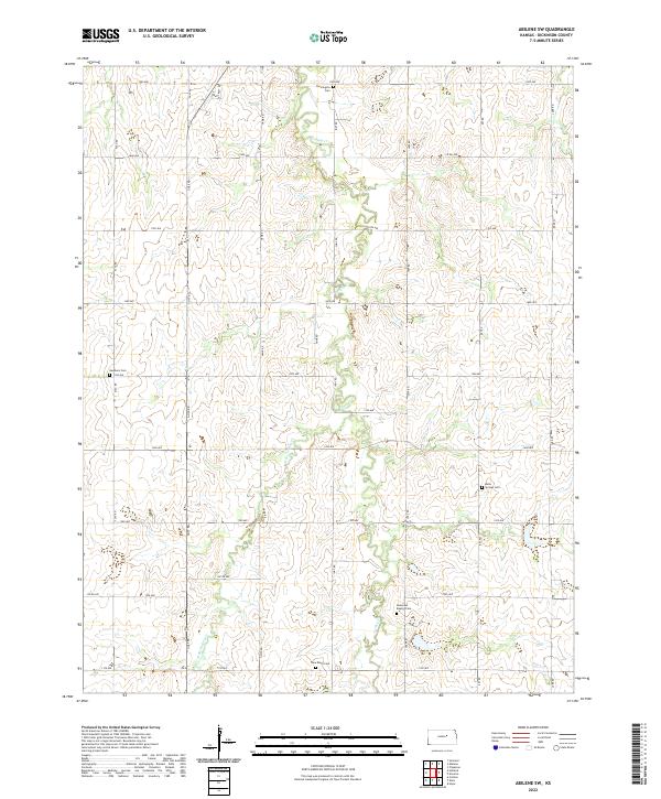
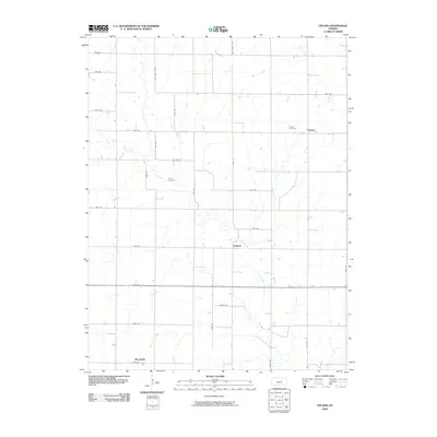
2022 Map of Abilene SW
USGS Topo · Published 2022About this map
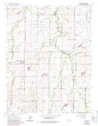
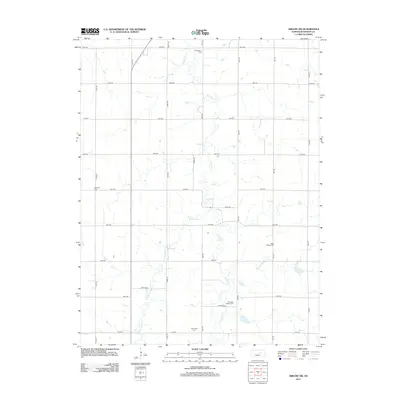
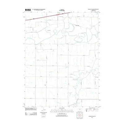
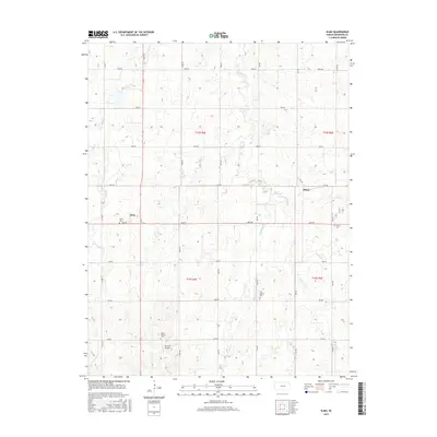
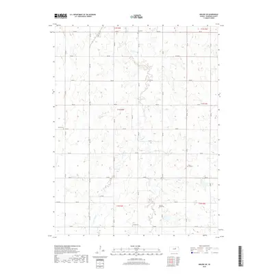
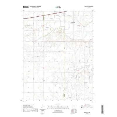
Dickinson County’s agricultural character is well preserved in this southwestern reach of the Abilene area, where a grid of rural roads like Flag Rd and Gulf Rd divides the land into sections. The landscape is defined by the drainage patterns of Turkey Cr and its tributary, W Br Turkey Cr, which meander through the terrain. The region's social and genealogical history is anchored by its numerous rural burial grounds, including the Ebenezer Baptist Cem and New Basel Cem. These sites, along with Farmington Cem and Belle Springs Cem, suggest a history of close-knit farming communities that established their own spiritual and communal centers far from the larger townships.
Find a feature on this map
36 named features on this map. Tap any name to fly to it.
Don’t see what you’re looking for? This feature index may not catch every label — zoom into the map to look around manually.
Map Details
Editions of this 2022 Abilene SW Map
This is the sole edition of this map. No revisions or reprints were ever made.
Historical Maps of Dickinson County Through Time
36 maps found
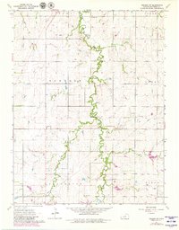
1963 Abilene SW
Dickinson County, KS
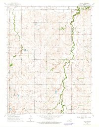
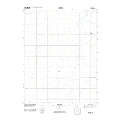
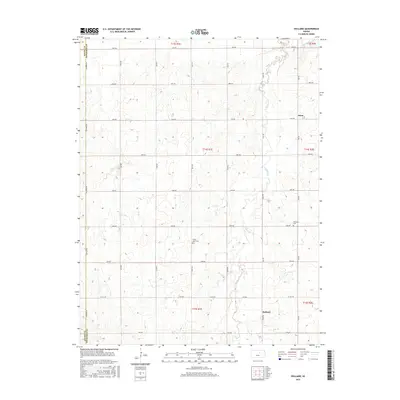
1963 Holland
Dickinson County, KS
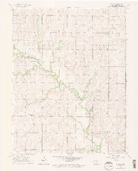
1963 Upland
Dickinson County, KS

1964 Buckeye
Dickinson County, KS
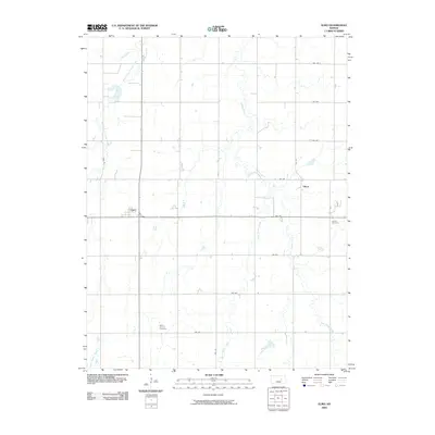
1964 Elmo
Dickinson County, KS
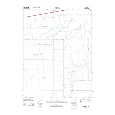
1964 Kansas Falls
Dickinson County, KS
2009 Abilene SW
Dickinson County, KS
2009 Buckeye
Dickinson County, KS
2009 Elmo
Dickinson County, KS
2009 Holland
Dickinson County, KS
2009 Kansas Falls
Dickinson County, KS
2009 Upland
Dickinson County, KS
2012 Abilene SW
Dickinson County, KS
2012 Buckeye
Dickinson County, KS
2012 Elmo
Dickinson County, KS
2012 Holland
Dickinson County, KS
2012 Kansas Falls
Dickinson County, KS
2012 Upland
Dickinson County, KS
2015 Abilene SW
Dickinson County, KS
2015 Buckeye
Dickinson County, KS
2015 Elmo
Dickinson County, KS
2015 Holland
Dickinson County, KS
2015 Kansas Falls
Dickinson County, KS
2015 Upland
Dickinson County, KS
2018 Abilene SW
Dickinson County, KS
2018 Buckeye
Dickinson County, KS
2018 Elmo
Dickinson County, KS
2018 Holland
Dickinson County, KS
2018 Kansas Falls
Dickinson County, KS
2018 Upland
Dickinson County, KS
2022 Abilene SW
Dickinson County, KS
2022 Buckeye
Dickinson County, KS
2022 Elmo
Dickinson County, KS
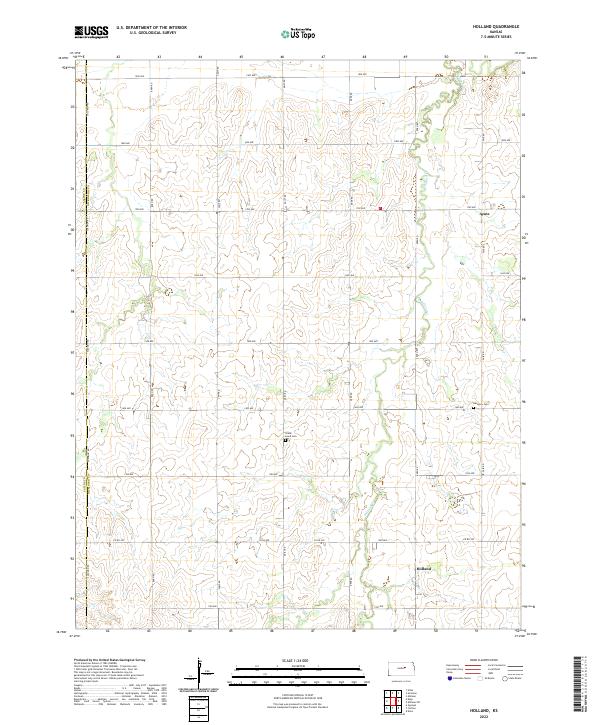
2022 Holland
Dickinson County, KS
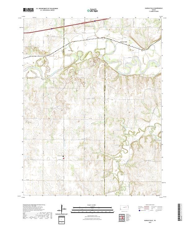
2022 Kansas Falls
Dickinson County, KS
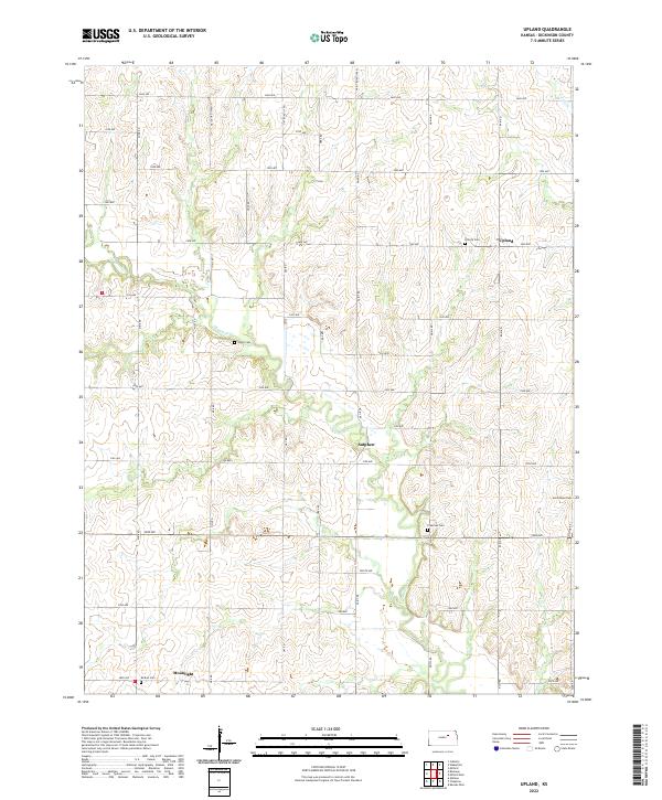
2022 Upland
Dickinson County, KS