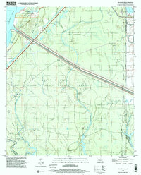
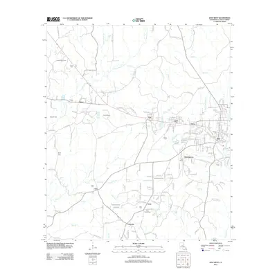
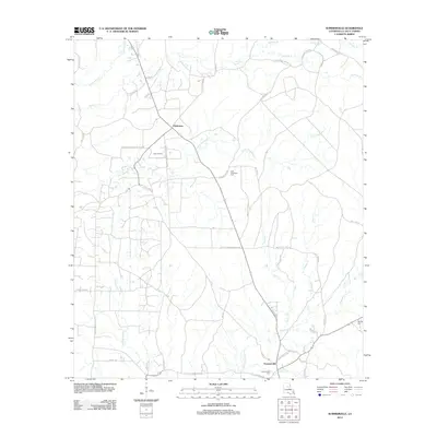
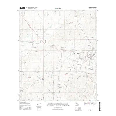
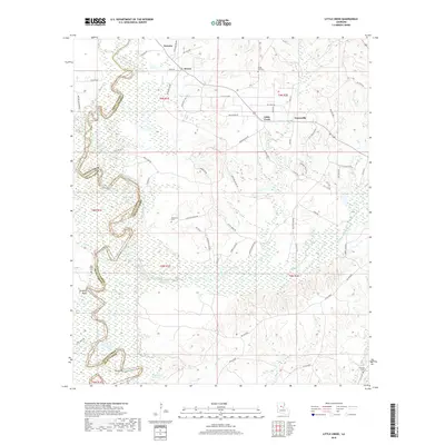
1972 Map of Buckeye NE
USGS Topo · Published 1993About this map
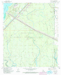
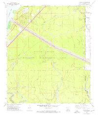
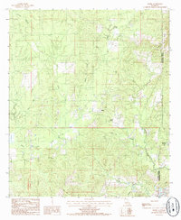
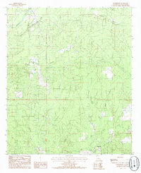
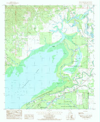
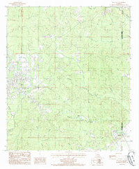
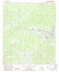
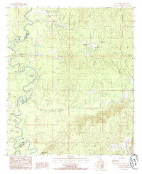
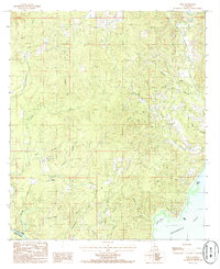
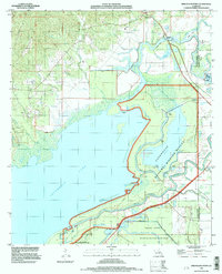
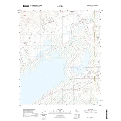
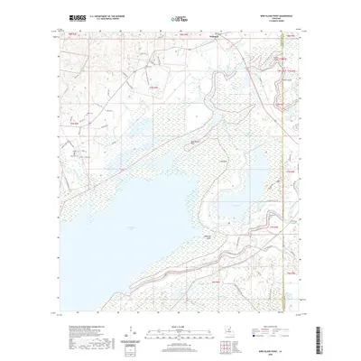
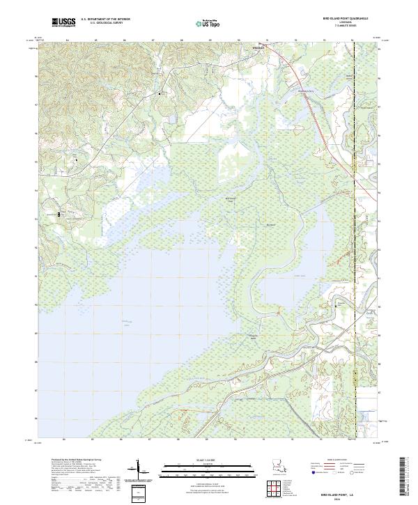
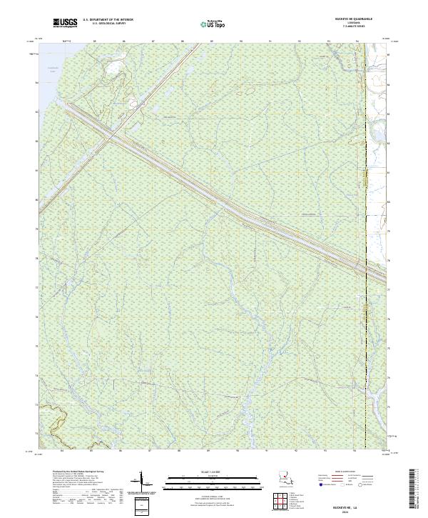
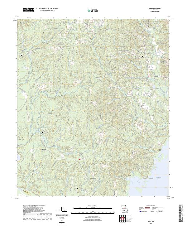
Hydrological engineering and energy extraction dominate this Louisiana landscape at the junction of LaSalle, Catahoula, and Rapides Parishes. The Catahoula Lake Diversion Canal, flanked by an extensive levee system and a Spillway, cuts a straight path across the wetlands to manage the waters of Catahoula Lake. This massive infrastructure project bisects the Saline State Wildlife Management Area, a region defined by its dense network of waterways including Muddy Bayou, French Fork, and Long Slough.
Find a feature on this map
38 named features on this map. Tap any name to fly to it.
Don’t see what you’re looking for? This feature index may not catch every label — zoom into the map to look around manually.
Map Details
Editions of this 1972 Buckeye NE Map
2 editions found
Historical Maps of Rapides Parish Through Time
52 maps found
1941 Buckeye
LaSalle Parish, LA
1959 Buckeye
LaSalle Parish, LA
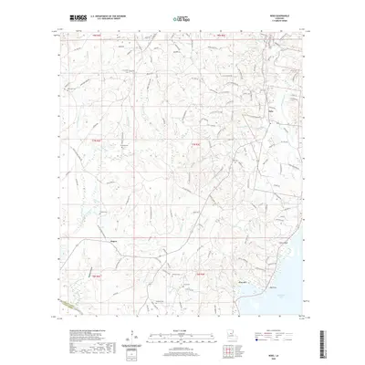
1972 Buckeye NE
LaSalle Parish, LA
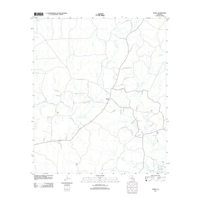
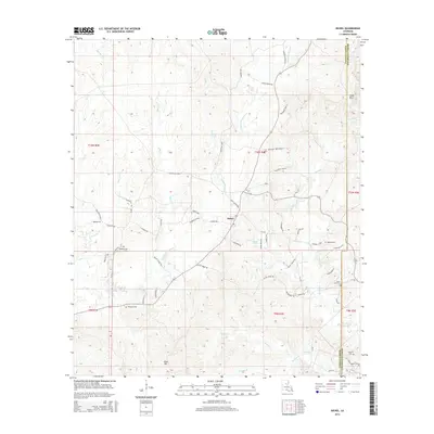
1984 Nickel
LaSalle Parish, LA
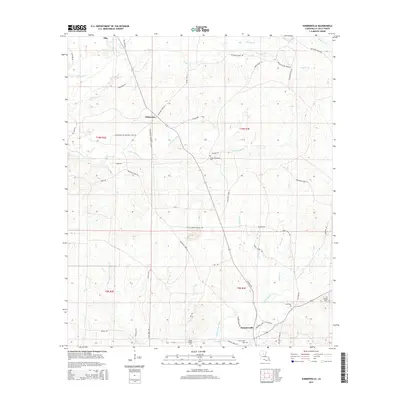
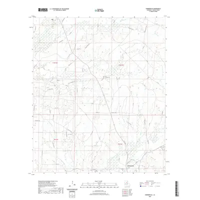
1984 Summerville
LaSalle Parish, LA
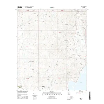
1985 Bird Island Point
LaSalle Parish, LA
1985 Jena East
LaSalle Parish, LA
1985 Jena West
LaSalle Parish, LA
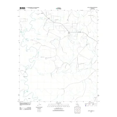
1985 Little Creek
LaSalle Parish, LA
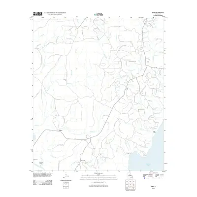
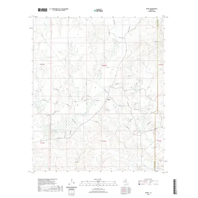
1985 Nebo
LaSalle Parish, LA
1994 Bird Island Point
LaSalle Parish, LA
1998 Buckeye NE
LaSalle Parish, LA
2012 Bird Island Point
LaSalle Parish, LA
2012 Buckeye NE
LaSalle Parish, LA
2012 Jena East
LaSalle Parish, LA
2012 Jena West
LaSalle Parish, LA
2012 Little Creek
LaSalle Parish, LA
2012 Nebo
LaSalle Parish, LA
2012 Nickel
LaSalle Parish, LA
2012 Summerville
LaSalle Parish, LA
2015 Bird Island Point
LaSalle Parish, LA
2015 Buckeye NE
LaSalle Parish, LA
2015 Jena East
LaSalle Parish, LA
2015 Jena West
LaSalle Parish, LA

2015 Little Creek
LaSalle Parish, LA
2015 Nebo
LaSalle Parish, LA
2015 Nickel
LaSalle Parish, LA
2015 Summerville
LaSalle Parish, LA
2018 Bird Island Point
LaSalle Parish, LA
2018 Buckeye NE
LaSalle Parish, LA
2018 Jena East
LaSalle Parish, LA
2018 Jena West
LaSalle Parish, LA
2018 Little Creek
LaSalle Parish, LA
2018 Nebo
LaSalle Parish, LA
2018 Nickel
LaSalle Parish, LA
2018 Summerville
LaSalle Parish, LA
2020 Bird Island Point
LaSalle Parish, LA
2020 Buckeye NE
LaSalle Parish, LA
2020 Jena East
LaSalle Parish, LA
2020 Jena West
LaSalle Parish, LA

2020 Little Creek
LaSalle Parish, LA
2020 Nebo
LaSalle Parish, LA
2020 Nickel
LaSalle Parish, LA
2020 Summerville
LaSalle Parish, LA
2024 Bird Island Point
LaSalle Parish, LA
2024 Buckeye NE
LaSalle Parish, LA
2024 Jena East
LaSalle Parish, LA
2024 Jena West
LaSalle Parish, LA
2024 Little Creek
LaSalle Parish, LA
2024 Nebo
LaSalle Parish, LA
2024 Nickel
LaSalle Parish, LA
2024 Summerville
LaSalle Parish, LA