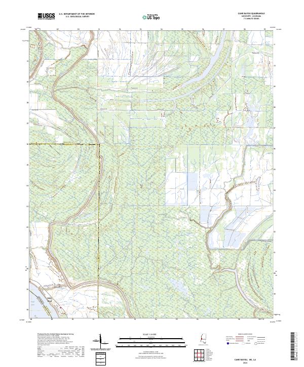
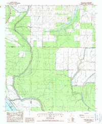
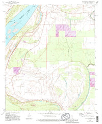
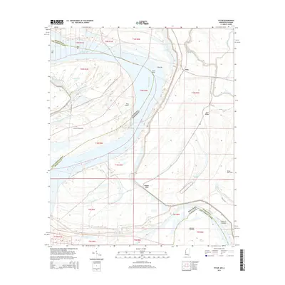
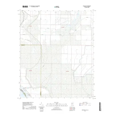
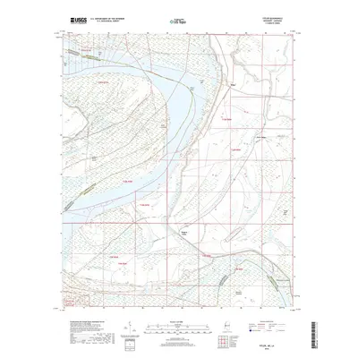
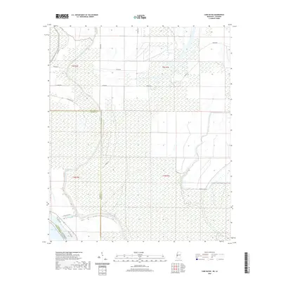
2024 Map of Cane Bayou
USGS Topo · Published 2024About this map
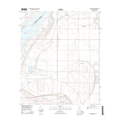
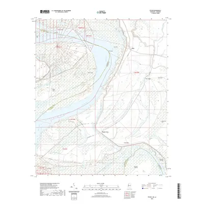
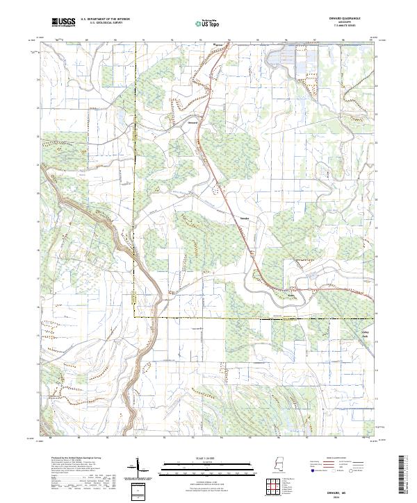
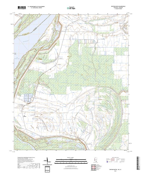
Steele Bayou meanders through this portion of the Mississippi Delta, following a winding course across the border of Issaquena and Warren counties. The landscape is dominated by a complex network of wetlands and drainage patterns, culminating in the prominent oxbow at Eagle Bend. This hydrological environment is characteristic of the lower Mississippi River valley, where former river channels like Eagle Lake create unique habitats and geographic boundaries.
Find a feature on this map
23 named features on this map. Tap any name to fly to it.
Don’t see what you’re looking for? This feature index may not catch every label — zoom into the map to look around manually.
Map Details
Editions of this 2024 Cane Bayou Map
This is the sole edition of this map. No revisions or reprints were ever made.
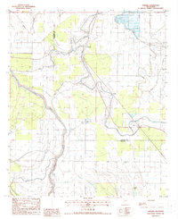
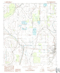
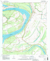
Historical Maps of Warren County Through Time
33 maps found
1963 Onward
Issaquena County, MS
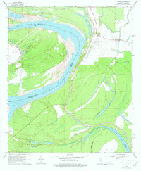
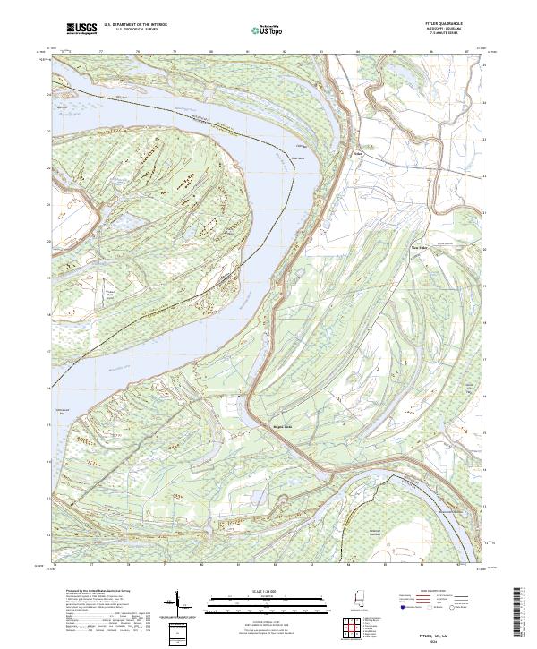
1970 Fitler
Issaquena County, MS
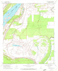
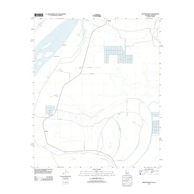
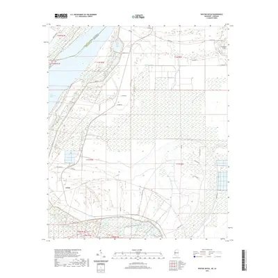
1970 Whiting Bayou
Issaquena County, MS
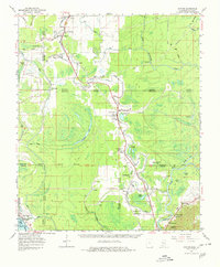
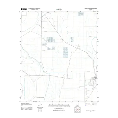
1988 Cane Bayou
Issaquena County, MS
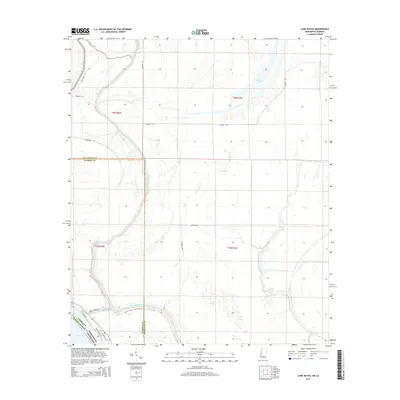
1988 Onward
Issaquena County, MS
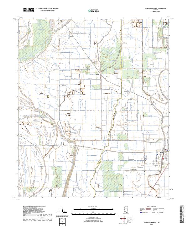
1988 Rolling Fork West
Issaquena County, MS
1994 Fitler
Issaquena County, MS
1994 Whiting Bayou
Issaquena County, MS
2012 Cane Bayou
Issaquena County, MS
2012 Fitler
Issaquena County, MS
2012 Onward
Issaquena County, MS
2012 Rolling Fork West
Issaquena County, MS
2012 Whiting Bayou
Issaquena County, MS
2015 Cane Bayou
Issaquena County, MS
2015 Fitler
Issaquena County, MS
2015 Onward
Issaquena County, MS
2015 Rolling Fork West
Issaquena County, MS
2015 Whiting Bayou
Issaquena County, MS
2018 Cane Bayou
Issaquena County, MS
2018 Fitler
Issaquena County, MS
2018 Onward
Issaquena County, MS
2018 Rolling Fork West
Issaquena County, MS
2018 Whiting Bayou
Issaquena County, MS
2020 Cane Bayou
Issaquena County, MS
2020 Fitler
Issaquena County, MS
2020 Onward
Issaquena County, MS
2020 Rolling Fork West
Issaquena County, MS
2020 Whiting Bayou
Issaquena County, MS
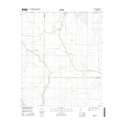
2024 Cane Bayou
Issaquena County, MS
2024 Fitler
Issaquena County, MS
2024 Onward
Issaquena County, MS
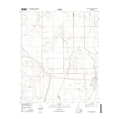
2024 Rolling Fork West
Issaquena County, MS
2024 Whiting Bayou
Issaquena County, MS