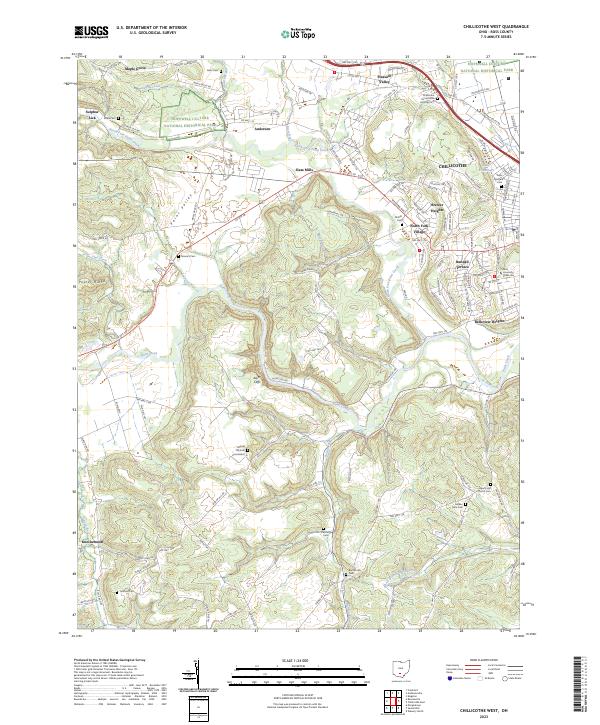
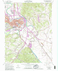
2023 Map of Chillicothe West
USGS Topo · Published 2023About this map
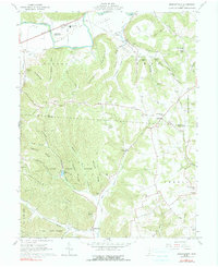
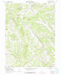
Hopewell Culture National Historical Park anchors the landscape west of Chillicothe, preserving the ancient ceremonial earthworks along the terraces of North Fork Paint Creek. The terrain transitions from the broad Paint Valley into the dissected uplands of Poplar Ridge and the dramatic river bends at Alum Cliffs. This area reflects a dense layer of Ross County history, where modern educational institutions like Ohio University - Chillicothe sit in proximity to established neighborhoods like Brewer Heights and North Fork Village. Numerous small family and community burial grounds, such as Bishop Hill Cem, Ralston Cem, and Poole Cem, are scattered across the rural hillsides. The western edge of the sheet includes the curiously named settlement of Knockemstiff, while the eastern portion is defined by the industrial and institutional infrastructure serving the regional hub.
Find a feature on this map
132 named features on this map. Tap any name to fly to it.
Don’t see what you’re looking for? This feature index may not catch every label — zoom into the map to look around manually.
Map Details
Editions of this 2023 Chillicothe West Map
This is the sole edition of this map. No revisions or reprints were ever made.
Historical Maps of Ross County Through Time
20 maps found
1912 Roxabell
Ross County, OH
1914 Roxabell
Ross County, OH
1944 Roxabell
Ross County, OH
1961 Chillicothe East
Ross County, OH
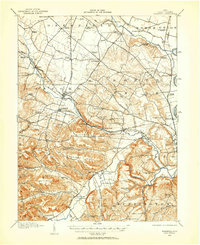
1961 Chillicothe West
Ross County, OH
1961 Hallsville
Ross County, OH
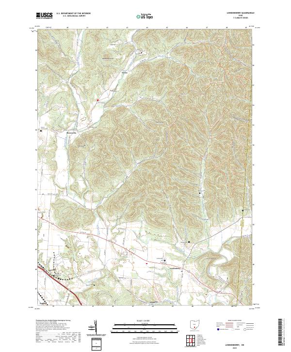
1961 Londonderry
Ross County, OH
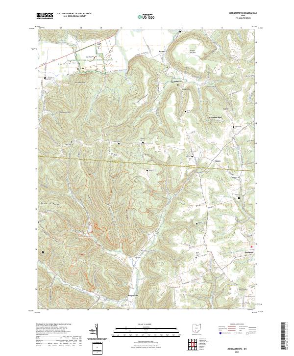
1961 Morgantown
Ross County, OH
1961 Summithill
Ross County, OH
1961 Waverly North
Ross County, OH
1992 Hallsville
Ross County, OH
1992 Londonderry
Ross County, OH
1992 Waverly North
Ross County, OH
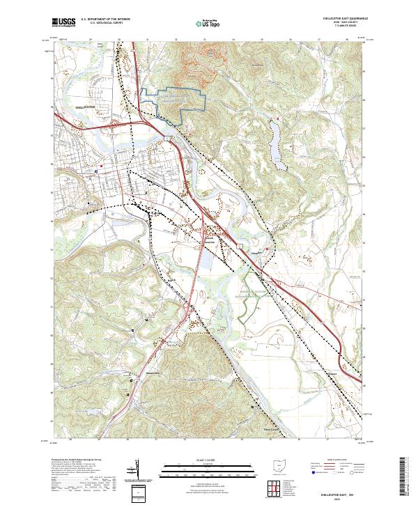
2023 Chillicothe East
Ross County, OH
2023 Chillicothe West
Ross County, OH
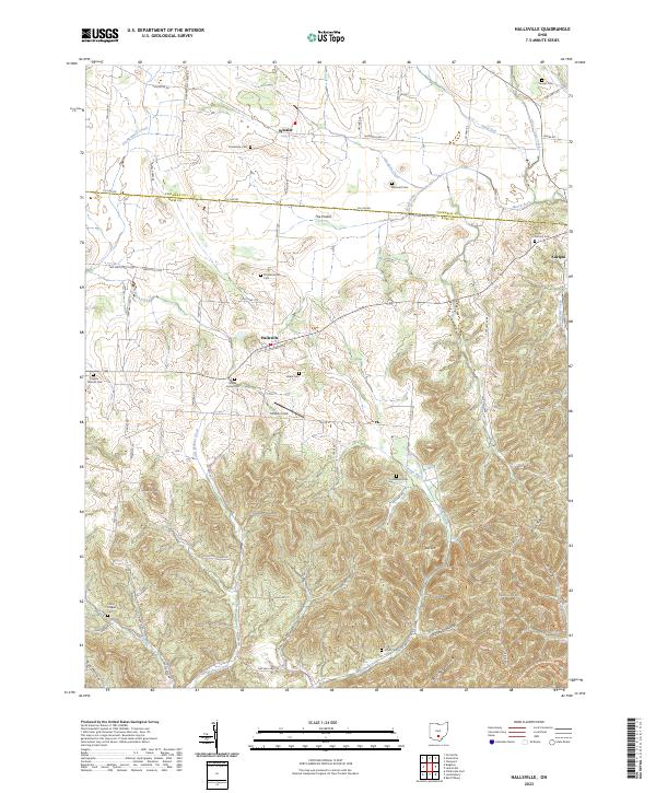
2023 Hallsville
Ross County, OH
2023 Londonderry
Ross County, OH
2023 Morgantown
Ross County, OH
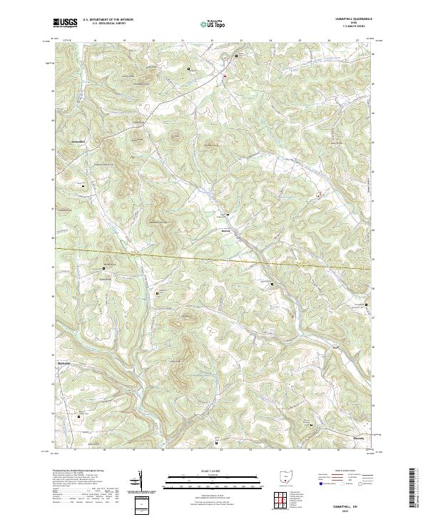
2023 Summithill
Ross County, OH
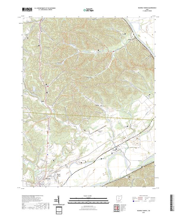
2023 Waverly North
Ross County, OH