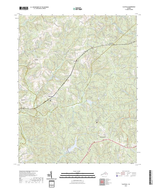
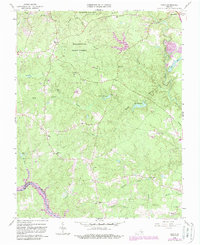
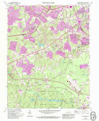
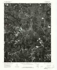
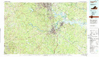
2022 Map of Clayville
USGS Topo · Published 2022About this map
The Appomattox River winds through the western edge of this landscape, marking the historic boundary between Amelia, Powhatan, and Chesterfield Counties. The settlement pattern here is defined by small, long-established communities like Moseley, Dorset, and Clayville, which sit at the intersection of local routes such as Dorset Rd and Genito Rd. The area maintains a distinctly rural character, with the headwaters of Skinquarter Creek and Butterwood Cr carving deep drainages into the terrain.
Find a feature on this map
92 named features on this map. Tap any name to fly to it.
Don’t see what you’re looking for? This feature index may not catch every label — zoom into the map to look around manually.
Map Details
Editions of this 2022 Clayville Map
This is the sole edition of this map. No revisions or reprints were ever made.
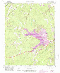
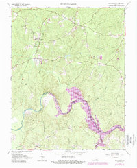
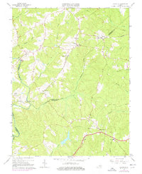
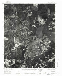
Historical Maps of Dorset Through Time
38 maps found
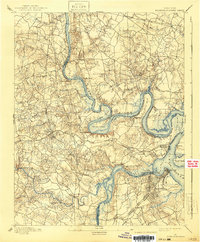
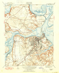
1894 Bermuda Hundred
Chesterfield County, VA

1938 Drewrys Bluff
Chesterfield County, VA

1943 Beach
Chesterfield County, VA
1943 Chesterfield
Chesterfield County, VA

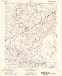
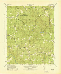
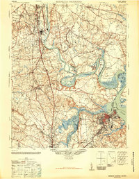
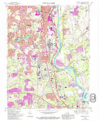
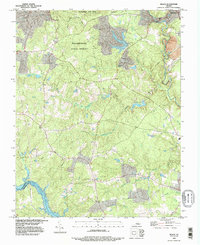
1943 Clayville
Chesterfield County, VA
1943 Hallsboro
Chesterfield County, VA
1943 Hopewell
Chesterfield County, VA

1943 Winterpock
Chesterfield County, VA
1944 Beach
Chesterfield County, VA
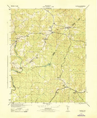
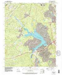
1944 Clayville
Chesterfield County, VA
1944 Winterpock
Chesterfield County, VA
1946 Bermuda Hundred
Chesterfield County, VA
1952 Drewrys Bluff
Chesterfield County, VA
1952 Hopewell
Chesterfield County, VA
1963 Beach
Chesterfield County, VA
1963 Chesterfield
Chesterfield County, VA
1963 Hallsboro
Chesterfield County, VA
1963 Winterpock
Chesterfield County, VA
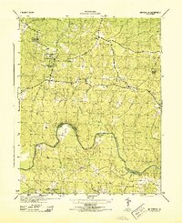
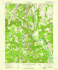
1964 Clayville
Chesterfield County, VA
1969 Drewrys Bluff
Chesterfield County, VA
1969 Hopewell
Chesterfield County, VA
1974 Beach
Chesterfield County, VA
1974 Drewrys Bluff
Chesterfield County, VA
1974 Hallsboro
Chesterfield County, VA
1974 Hopewell
Chesterfield County, VA
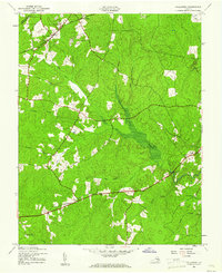
1979 Clayville
Chesterfield County, VA
1979 Winterpock
Chesterfield County, VA
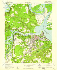
1984 Petersburg
Chesterfield County, VA
1994 Beach
Chesterfield County, VA
1994 Hallsboro
Chesterfield County, VA
1994 Hopewell
Chesterfield County, VA
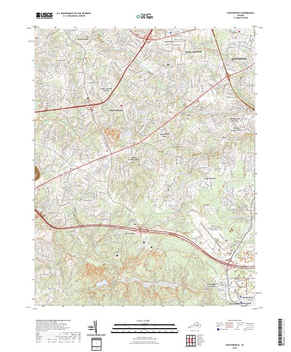
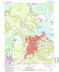
2022 Chesterfield
Chesterfield County, VA
2022 Clayville
Chesterfield County, VA
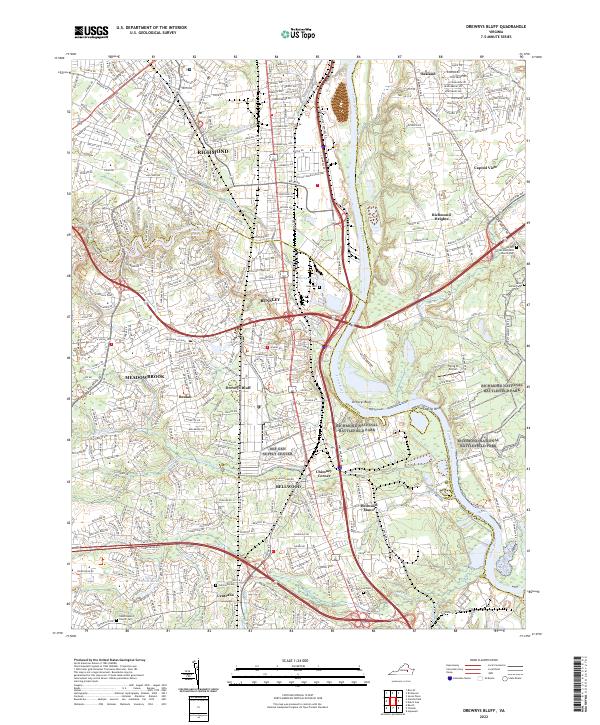
2022 Drewrys Bluff
Chesterfield County, VA
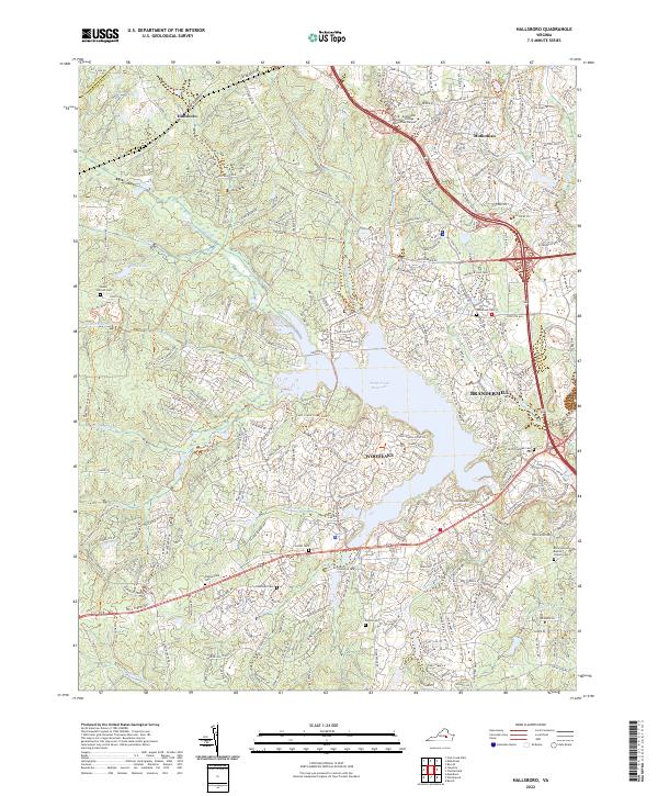
2022 Hallsboro
Chesterfield County, VA
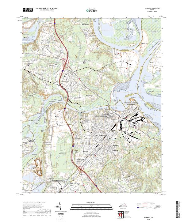
2022 Hopewell
Chesterfield County, VA
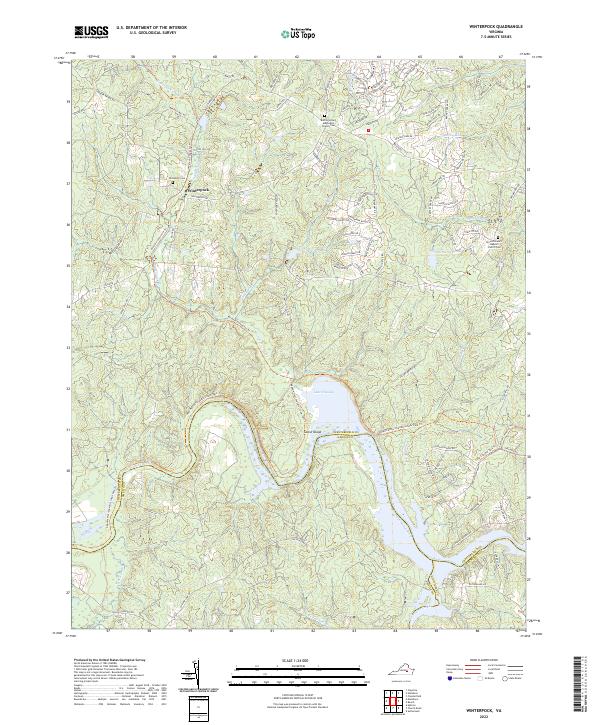
2022 Winterpock
Chesterfield County, VA
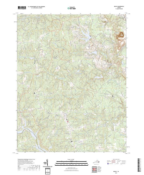
2023 Beach
Chesterfield County, VA