2022 Map of Clinton NE
USGS Topo · Published 2022About this map
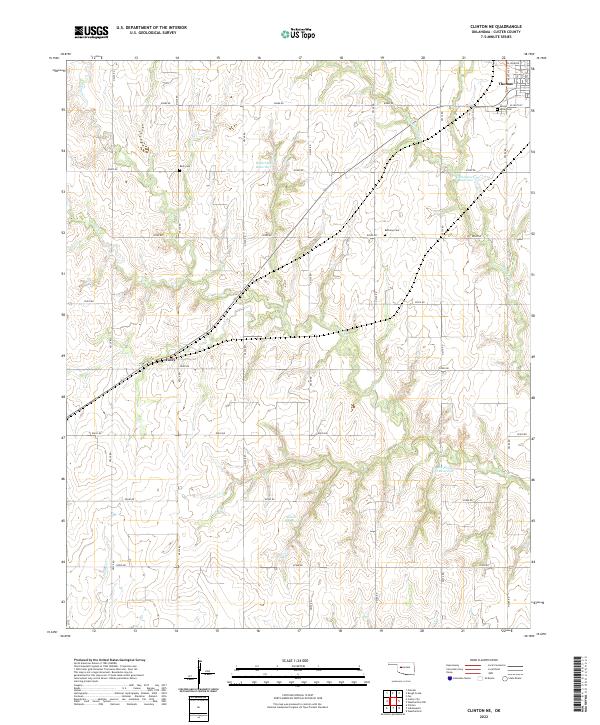
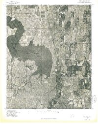
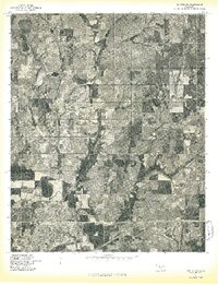
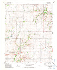
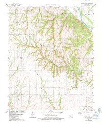
Thomas occupies the northeast corner of this Custer County landscape, where the local road network fans out from W Johnson St and N 15th St into a grid of section-line routes. The terrain is defined by the winding drainages of Deer Cr and Little Deer Cr, which support several named impoundments including Woldridge Reservoir and Kaiser Reservoir. These water sources are vital features in this agricultural region, punctuated by small rural settlements like Foley located along the western edge.
Find a feature on this map
33 named features on this map. Tap any name to fly to it.
Don’t see what you’re looking for? This feature index may not catch every label — zoom into the map to look around manually.
Map Details
Editions of this 2022 Clinton NE Map
This is the sole edition of this map. No revisions or reprints were ever made.
Historical Maps of Foley Through Time
30 maps found
1976 Butler NE
Custer County, OK
1976 Butler NW
Custer County, OK
1976 Butler SE
Custer County, OK
1976 Butler SW
Custer County, OK
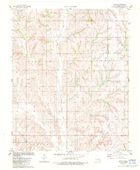
1976 Clinton NE
Custer County, OK
1976 Clinton NW
Custer County, OK
1976 Clinton SE
Custer County, OK
1976 Clinton SW
Custer County, OK
1983 Anthon
Custer County, OK
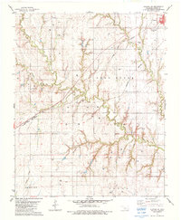
1983 Clinton NE
Custer County, OK
1983 Foss Dam
Custer County, OK
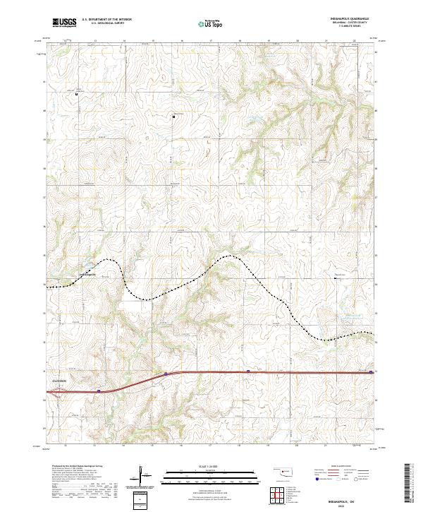
1983 Indianapolis
Custer County, OK
1983 Stafford
Custer County, OK
1984 Rhea
Custer County, OK
1985 Aledo
Custer County, OK
1985 Rough Creek
Custer County, OK
1985 Weatherford NW
Custer County, OK
1987 Carpenter
Custer County, OK
1987 Mc Clure
Custer County, OK
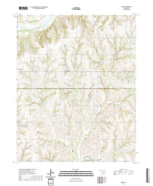
2022 Aledo
Custer County, OK
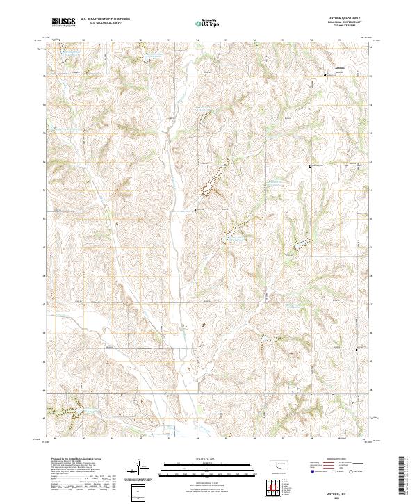
2022 Anthon
Custer County, OK
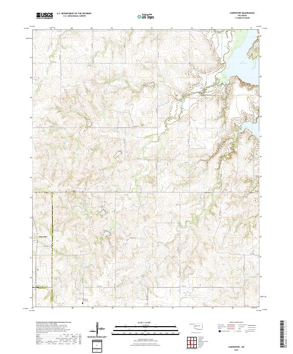
2022 Carpenter
Custer County, OK
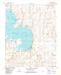
2022 Clinton NE
Custer County, OK
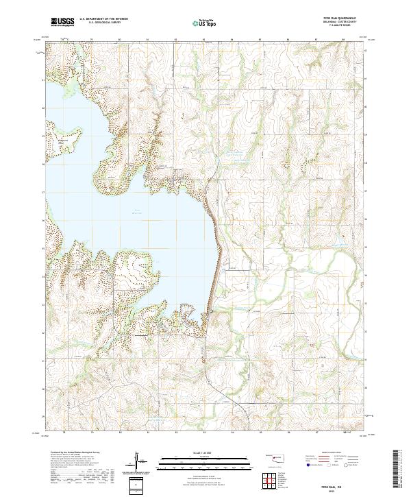
2022 Foss Dam
Custer County, OK
2022 Indianapolis
Custer County, OK
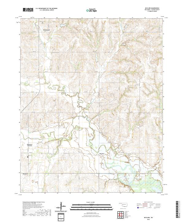
2022 McClure
Custer County, OK
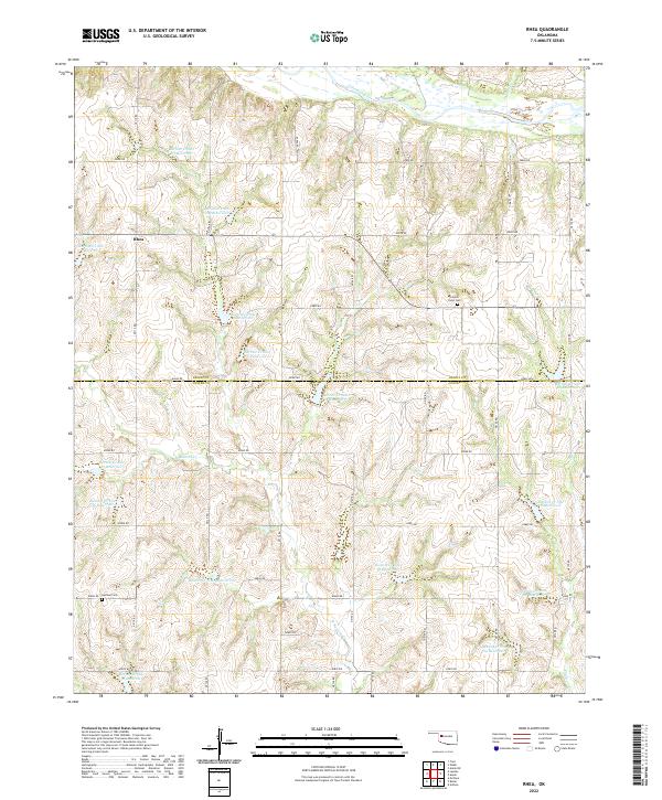
2022 Rhea
Custer County, OK
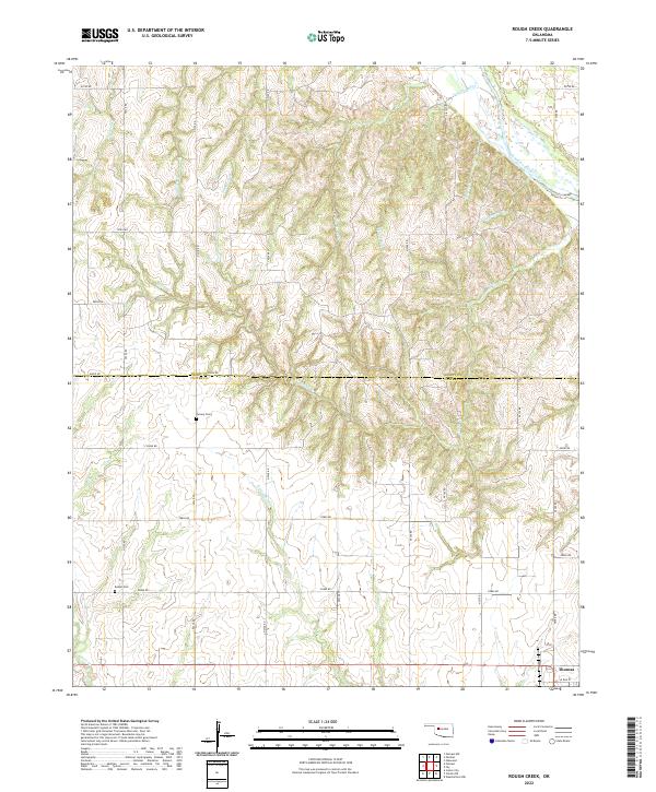
2022 Rough Creek
Custer County, OK
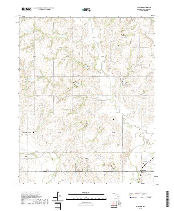
2022 Stafford
Custer County, OK
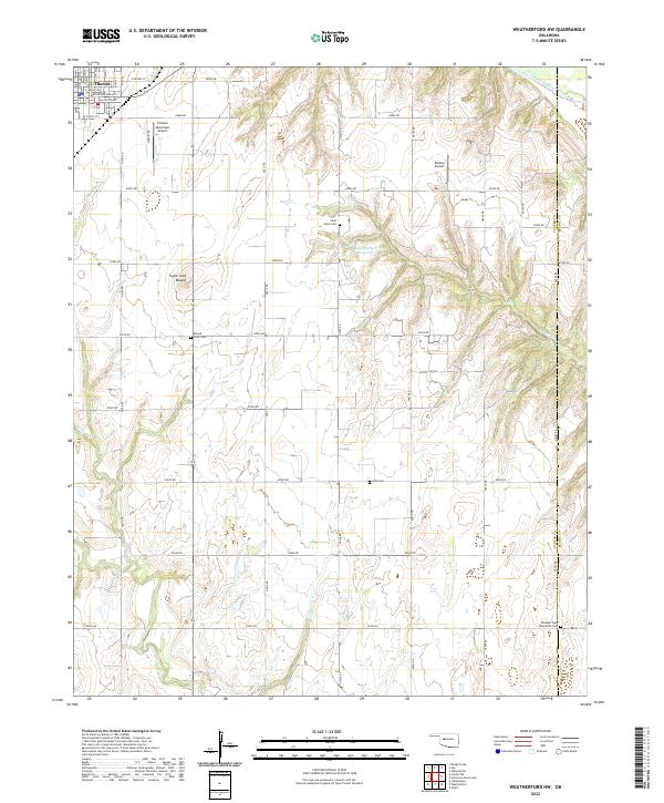
2022 Weatherford NW
Custer County, OK