2022 Map of Cranell
USGS Topo · Published 2022About this map
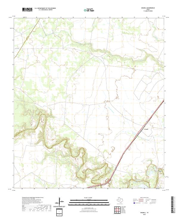
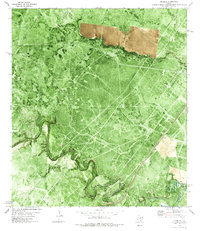
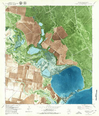
The Aransas River winds through the coastal plains of South Texas, forming a natural boundary at the southern edge of this Refugio County landscape. In this 2022 survey, the small community of Cranell sits along the highway near the Chocolate Swale, a drainage feature characteristic of the region's low-lying topography. The river's path is marked by sharp meanders, notably at Rooke Bend, where the waterway creates complex terrain before continuing eastward. Several seasonal or minor waterways like Sous Cr and Devils Run crisscross the northern reaches of the quadrangle. This map documents a largely rural and agricultural expanse, defined by large landholdings and private access routes such as Pvt Rd 6004, providing a clear view of the modern drainage and property patterns in the Coastal Bend region.
Find a feature on this map
9 named features on this map. Tap any name to fly to it.
Don’t see what you’re looking for? This feature index may not catch every label — zoom into the map to look around manually.
Map Details
Editions of this 2022 Cranell Map
This is the sole edition of this map. No revisions or reprints were ever made.
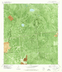
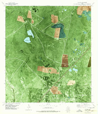
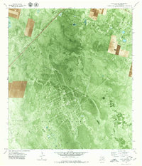
Historical Maps of Cranell Through Time
17 maps found
1952 Tivoli SE
Refugio County, TX
1952 Tivoli SW
Refugio County, TX
1954 Vidaurri
Refugio County, TX
1978 Cranell
Refugio County, TX
1978 Twin Mott Lake
Refugio County, TX
1978 Vidaurri
Refugio County, TX
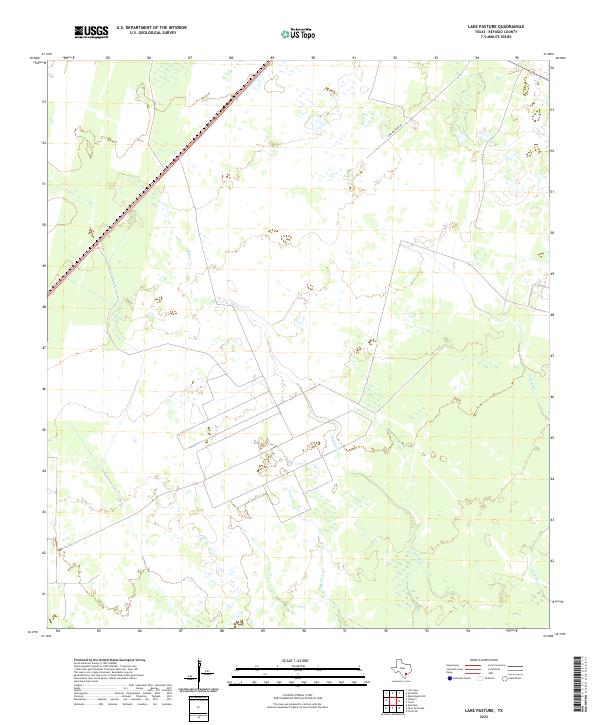
1979 Lake Pasture
Refugio County, TX
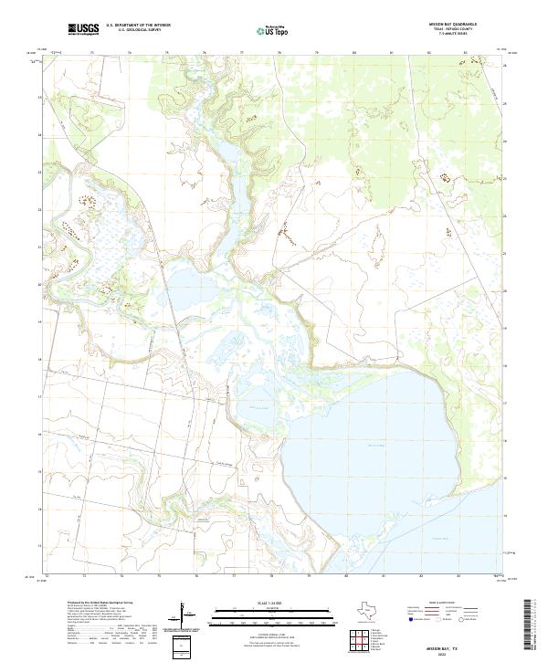
1979 Mission Bay
Refugio County, TX
1979 Quintana
Refugio County, TX
2022 Cranell
Refugio County, TX
2022 Lake Pasture
Refugio County, TX
2022 Mission Bay
Refugio County, TX
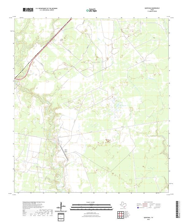
2022 Quintana
Refugio County, TX
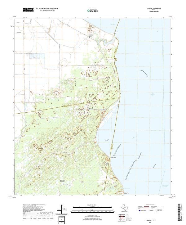
2022 Tivoli SE
Refugio County, TX
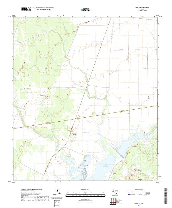
2022 Tivoli SW
Refugio County, TX
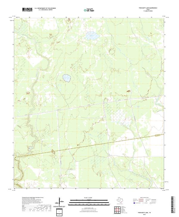
2022 Twin Mott Lake
Refugio County, TX
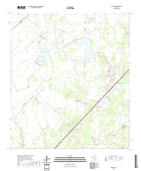
2022 Vidaurri
Refugio County, TX