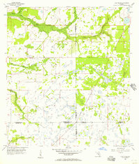
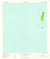
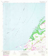
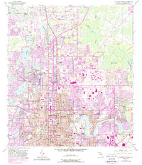
1956 Map of Duette NE
USGS Topo · Published 1957This historical map portrays the area of Duette NE in 1956, primarily covering Hillsborough County as well as portions of Polk County, Manatee County, and Hardee County. Featuring a scale of 1:24000, this map provides a highly detailed snapshot of the terrain, roads, buildings, counties, and historical landmarks in the Duette NE region at the time. Published in 1957, it is one of 4 known editions of this map due to revisions or reprints.
Find a feature on this map
13 named features on this map. Tap any name to fly to it.
Don’t see what you’re looking for? This feature index may not catch every label — zoom into the map to look around manually.
Map Details
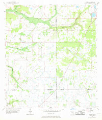
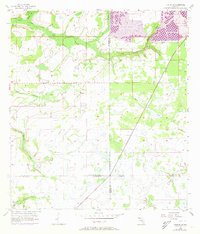
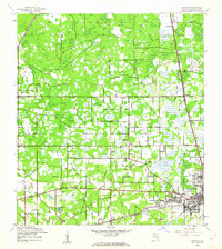
Editions of this 1956 Duette NE Map
4 editions found
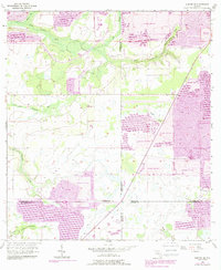
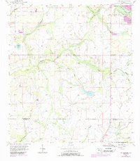
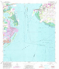
Historical Maps of Hillsborough County Through Time
30 maps found

1942 Cockroach Bay
Hillsborough County, FL

1943 Gandy Bridge
Hillsborough County, FL

1943 Port Tampa
Hillsborough County, FL
1944 Antioch
Hillsborough County, FL
1944 Egmont Key
Hillsborough County, FL

1944 Sulphur Springs
Hillsborough County, FL

1945 Cockroach Bay
Hillsborough County, FL

1945 Gadsden Point
Hillsborough County, FL

1945 Sulphur Springs
Hillsborough County, FL

1947 Cockroach Bay
Hillsborough County, FL

1947 Gadsden Point
Hillsborough County, FL

1947 Gandy Bridge
Hillsborough County, FL
1947 Port Tampa
Hillsborough County, FL

1949 Sulphur Springs
Hillsborough County, FL
1955 Keysville
Hillsborough County, FL
1955 Lithia
Hillsborough County, FL

1955 Nichols
Hillsborough County, FL
1956 Cockroach Bay
Hillsborough County, FL
1956 Duette NE
Hillsborough County, FL
1956 Fort Lonesome
Hillsborough County, FL

1956 Gandy Bridge
Hillsborough County, FL
1956 Port Tampa
Hillsborough County, FL
1956 Sulphur Springs
Hillsborough County, FL
1964 Egmont Key
Hillsborough County, FL
1975 Plant City East
Hillsborough County, FL
1975 Plant City West
Hillsborough County, FL

1981 St Petersburg
Hillsborough County, FL

1994 Plant City East
Hillsborough County, FL

1995 Sulphur Springs
Hillsborough County, FL

1998 Gandy Bridge
Hillsborough County, FL