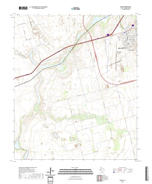
2022 Map of Elbow
USGS Topo · Published 2022About this map
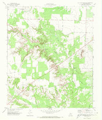
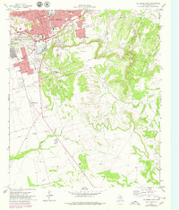
Big Spring anchors the northeastern corner of this West Texas landscape, where the urban grid of the city meets the specialized campus of the Southwest Collegiate Institute for the Deaf and the residential area of Webb Village. The surrounding terrain is defined by a series of intermittent watercourses and ephemeral basins, most notably the confluence of Beals Creek and Salt Lake. These features, along with Sulphur Springs Draw and Mustang Draw, illustrate the drainage patterns of the Llano Estacado's southern fringes.
Find a feature on this map
52 named features on this map. Tap any name to fly to it.
Don’t see what you’re looking for? This feature index may not catch every label — zoom into the map to look around manually.
Map Details
Editions of this 2022 Elbow Map
This is the sole edition of this map. No revisions or reprints were ever made.
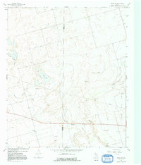
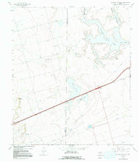
Historical Maps of Elbow Through Time
36 maps found

1941 Big Spring South
Howard County, TX

1941 Morita
Howard County, TX

1942 Big Spring North
Howard County, TX

1942 Big Spring South
Howard County, TX

1949 Morita
Howard County, TX
1951 Iatan
Howard County, TX
1951 Vincent
Howard County, TX
1952 Iatan
Howard County, TX

1954 Big Spring North
Howard County, TX
1954 Big Spring North NE
Howard County, TX
1963 Hyman
Howard County, TX

1965 Big Spring North
Howard County, TX

1966 Elbow
Howard County, TX
1966 Knott
Howard County, TX
1966 Knott NE
Howard County, TX
1966 Knott SE
Howard County, TX
1966 Knott SW
Howard County, TX
1966 Natural Dam Lake
Howard County, TX

1971 Big Spring North
Howard County, TX
1971 Big Spring South
Howard County, TX
1971 Luther
Howard County, TX
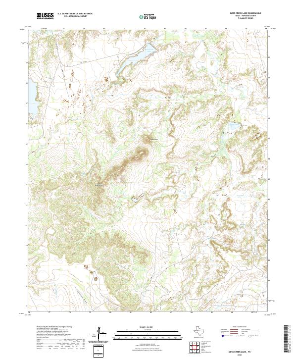
1971 Moss Creek Lake
Howard County, TX
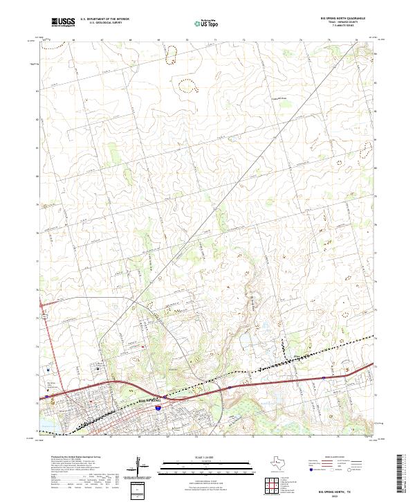
2022 Big Spring North
Howard County, TX
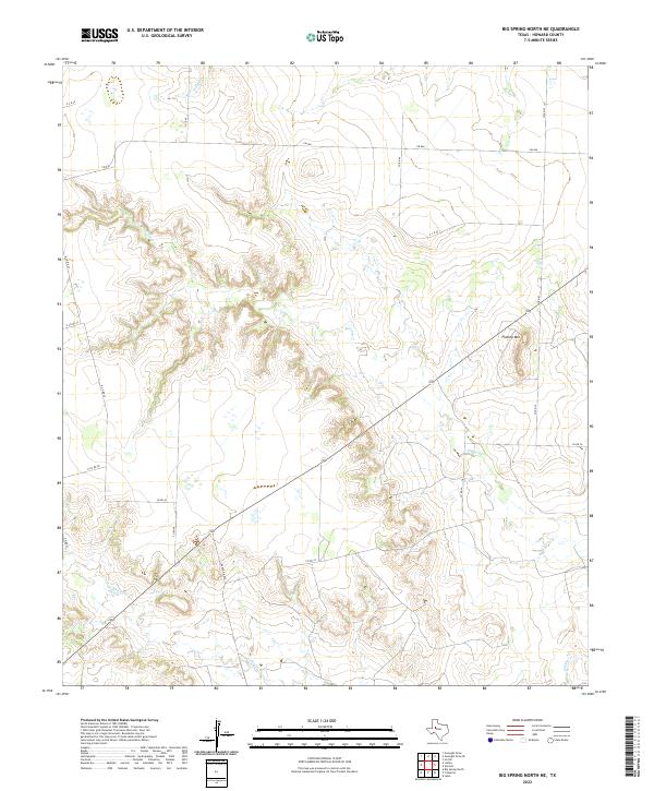
2022 Big Spring North NE
Howard County, TX
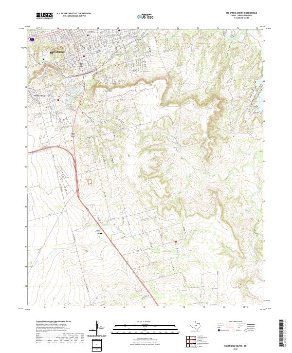
2022 Big Spring South
Howard County, TX
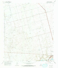
2022 Elbow
Howard County, TX
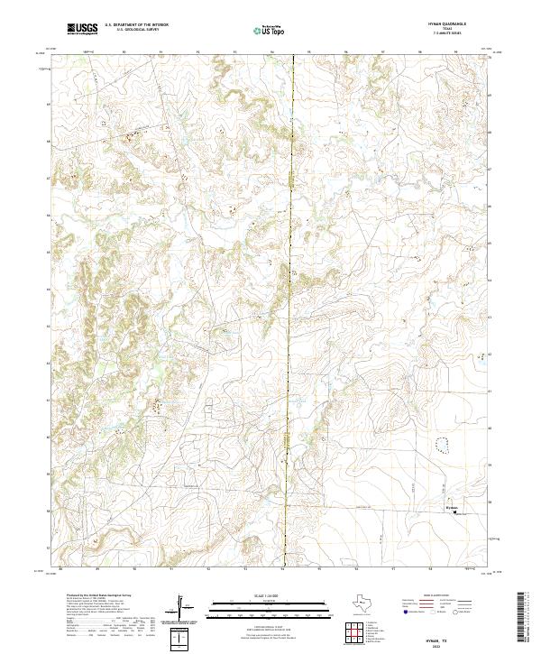
2022 Hyman
Howard County, TX
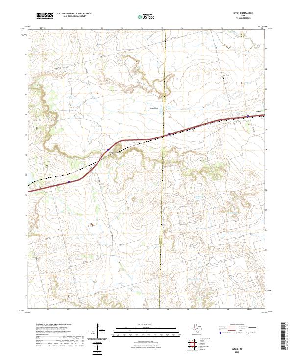
2022 Iatan
Howard County, TX
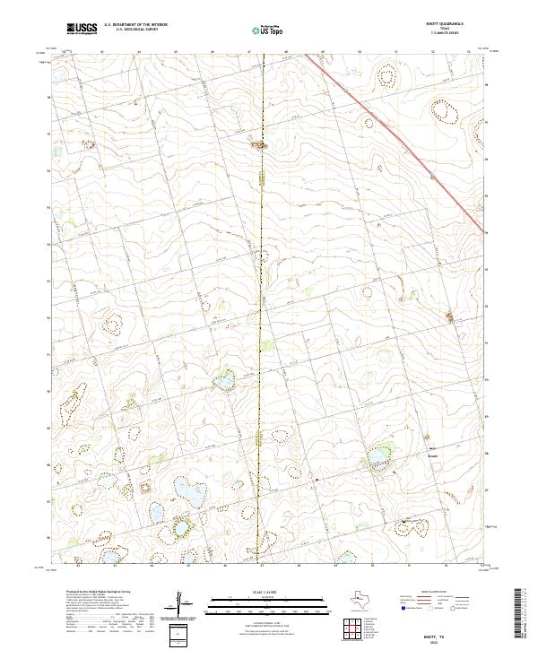
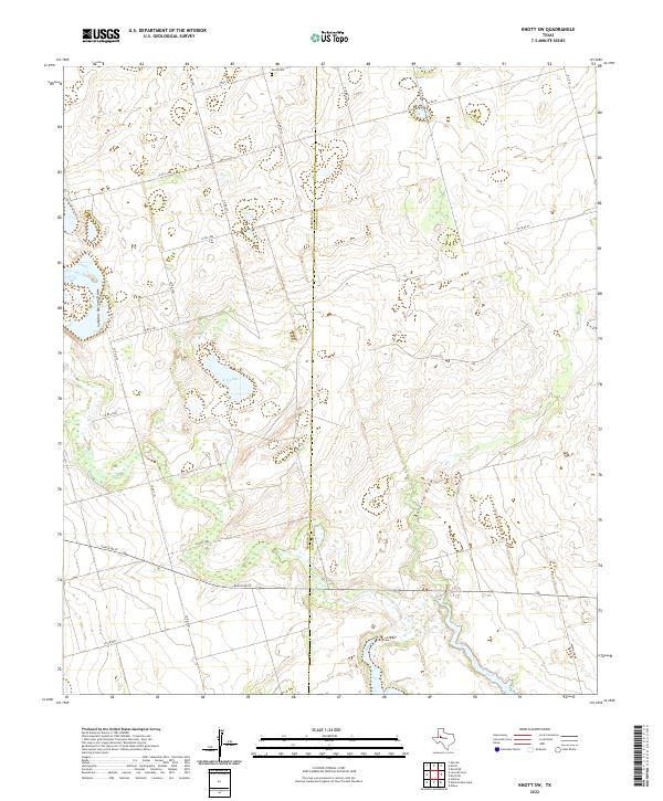
2022 Knott
Howard County, TX
2022 Knott NE
Howard County, TX
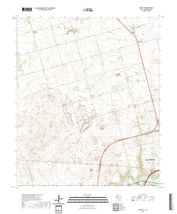
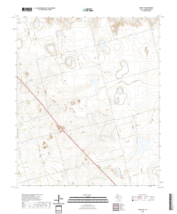
2022 Knott SE
Howard County, TX
2022 Knott SW
Howard County, TX
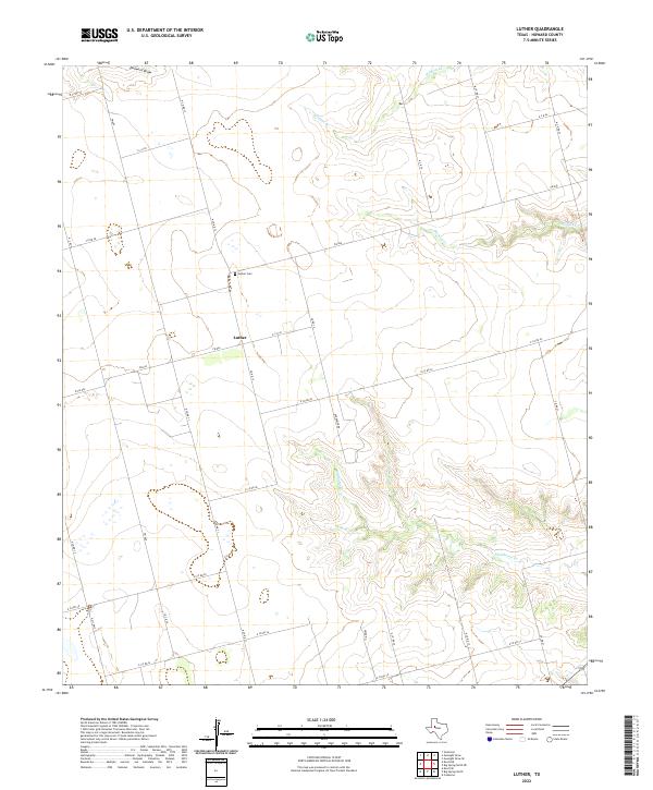
2022 Luther
Howard County, TX
2022 Moss Creek Lake
Howard County, TX
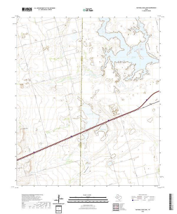
2022 Natural Dam Lake
Howard County, TX
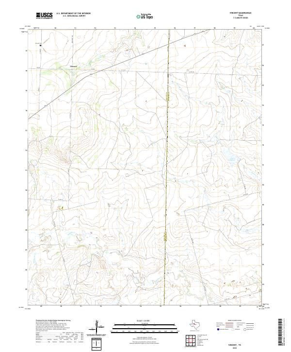
2022 Vincent
Howard County, TX