2023 Map of Elwood
USGS Topo · Published 2023About this map
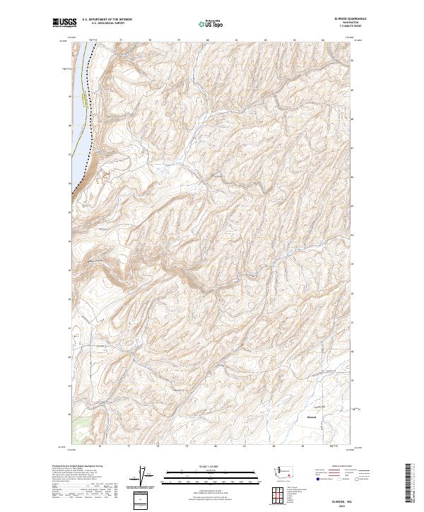
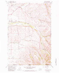
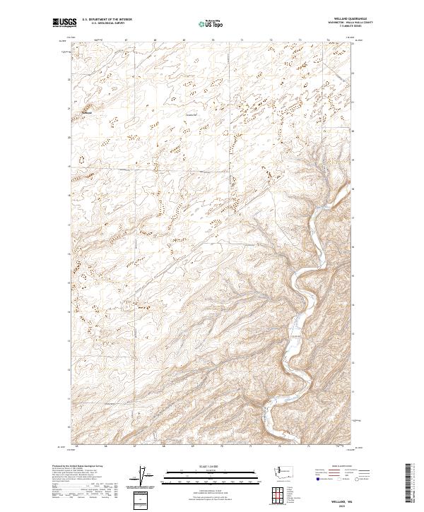
Elwood sits at the southern edge of this map, characterizing a high-plateau landscape where the broad expanse of Eureka Flat meets the dissected drainages of the Snake River valley. The map documents the boundary between Walla Walla County and Franklin County, showing how the deep incision of the river creates a dramatic elevation change from the agricultural uplands. The road network, including Scott Station Rd and Wooden Rd, follows the natural contours of the land, navigating around Walker Canyon and providing access to the isolated draws and ridges above the water. This 2023 survey illustrates the modern configuration of rural transport lines like Sheffler Rd and Harsell Rd within a region defined by its wide-open topographic benches and sharp canyon descents.
Find a feature on this map
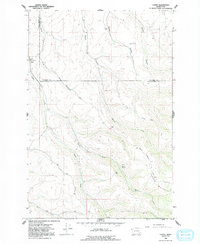
21 named features on this map. Tap any name to fly to it.
Don’t see what you’re looking for? This feature index may not catch every label — zoom into the map to look around manually.
Map Details
Editions of this 2023 Elwood Map
This is the sole edition of this map. No revisions or reprints were ever made.
Historical Maps of Elwood Through Time
50 maps found

1915 Wallulah
Walla Walla County, WA
1964 Humorist
Walla Walla County, WA
1964 Slater
Walla Walla County, WA
1964 Zangar Junction
Walla Walla County, WA
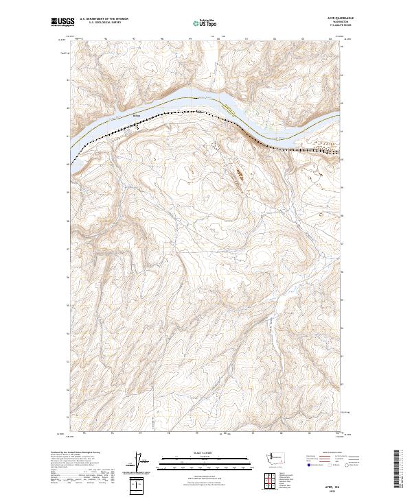
1966 Buroker
Walla Walla County, WA
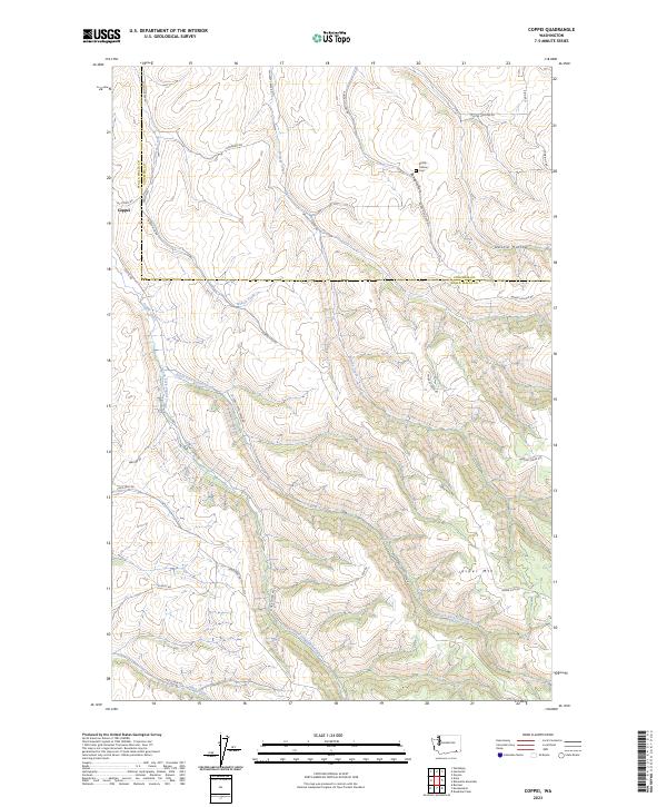
1966 Coppei
Walla Walla County, WA

1966 Elwood
Walla Walla County, WA

1966 Eureka
Walla Walla County, WA

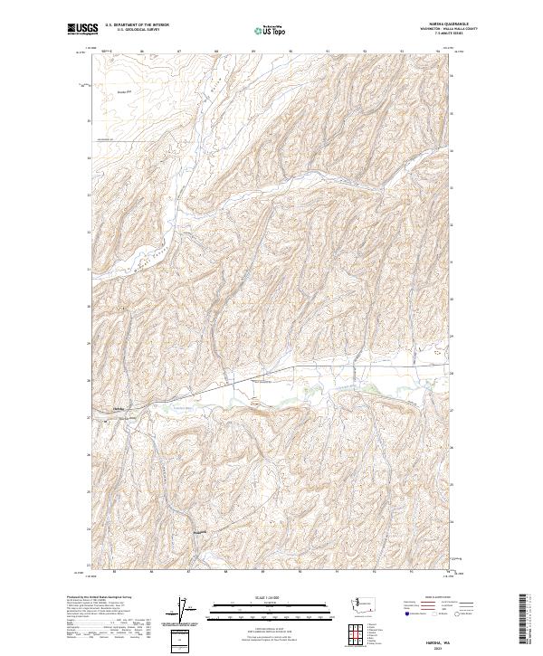
1966 Hadley
Walla Walla County, WA

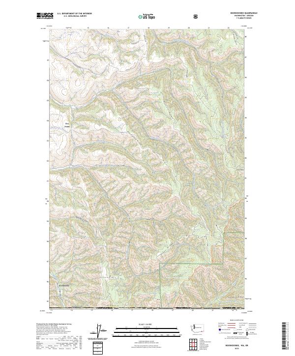
1966 Kooskooskie
Walla Walla County, WA

1966 Lowden
Walla Walla County, WA

1966 Page
Walla Walla County, WA

1966 Rulo
Walla Walla County, WA

1966 Valley Grove
Walla Walla County, WA

1966 Welland
Walla Walla County, WA
1967 Clyde
Walla Walla County, WA
1967 Harsha
Walla Walla County, WA
1967 Pleasant View
Walla Walla County, WA

1981 Ayer
Walla Walla County, WA

1981 Monumental Rock
Walla Walla County, WA

1991 Elwood
Walla Walla County, WA

1991 Eureka
Walla Walla County, WA

1991 Hadley
Walla Walla County, WA

1991 Lowden
Walla Walla County, WA

1991 Page
Walla Walla County, WA

1991 Rulo
Walla Walla County, WA

1991 Slater
Walla Walla County, WA

1991 Zangar Junction
Walla Walla County, WA

1992 Humorist
Walla Walla County, WA

1992 Welland
Walla Walla County, WA

1995 Kooskooskie
Walla Walla County, WA
2023 Ayer
Walla Walla County, WA
2023 Buroker
Walla Walla County, WA
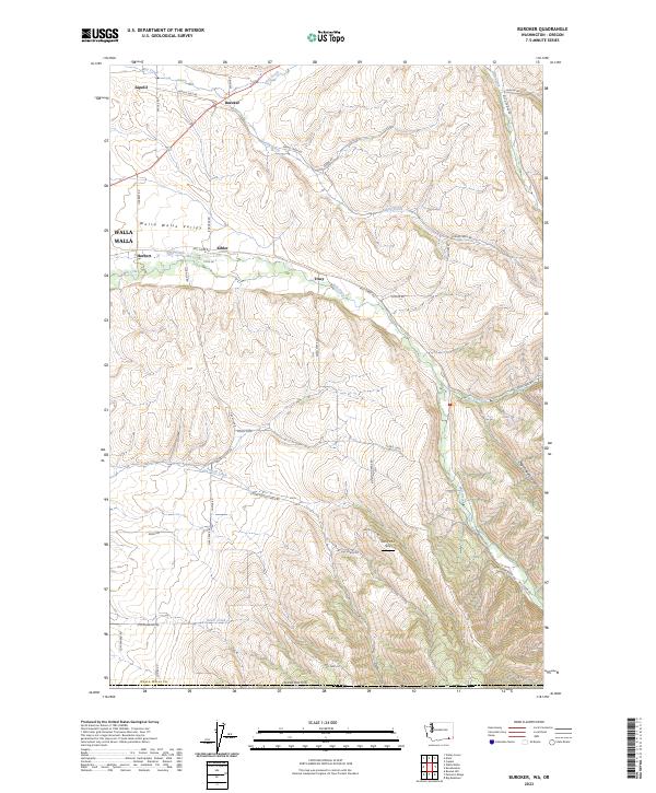
2023 Clyde
Walla Walla County, WA
2023 Coppei
Walla Walla County, WA
2023 Elwood
Walla Walla County, WA
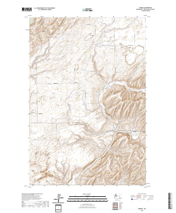
2023 Eureka
Walla Walla County, WA

2023 Hadley
Walla Walla County, WA
2023 Harsha
Walla Walla County, WA
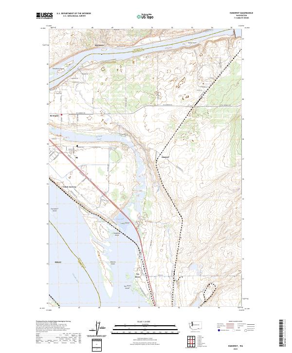
2023 Humorist
Walla Walla County, WA
2023 Kooskooskie
Walla Walla County, WA
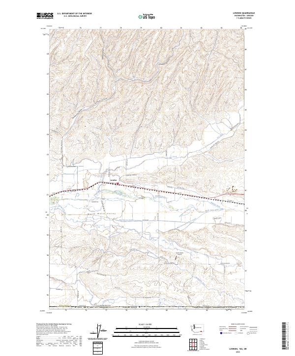
2023 Lowden
Walla Walla County, WA
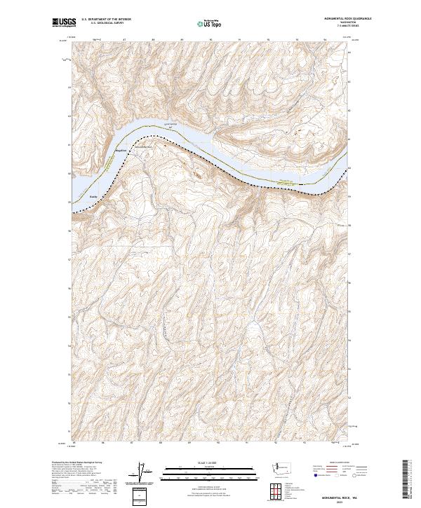
2023 Monumental Rock
Walla Walla County, WA
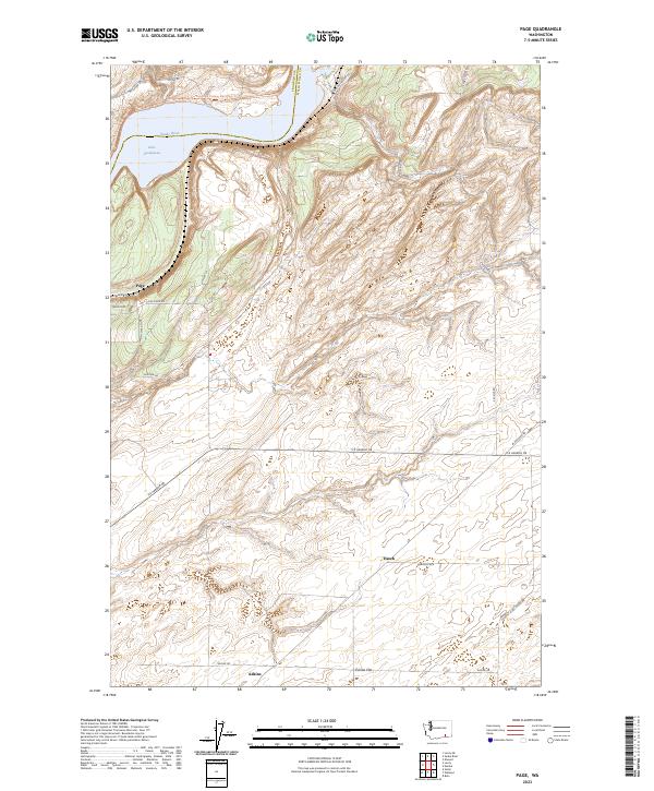
2023 Page
Walla Walla County, WA
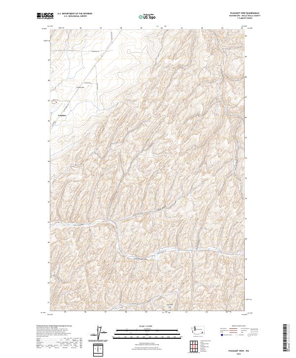
2023 Pleasant View
Walla Walla County, WA
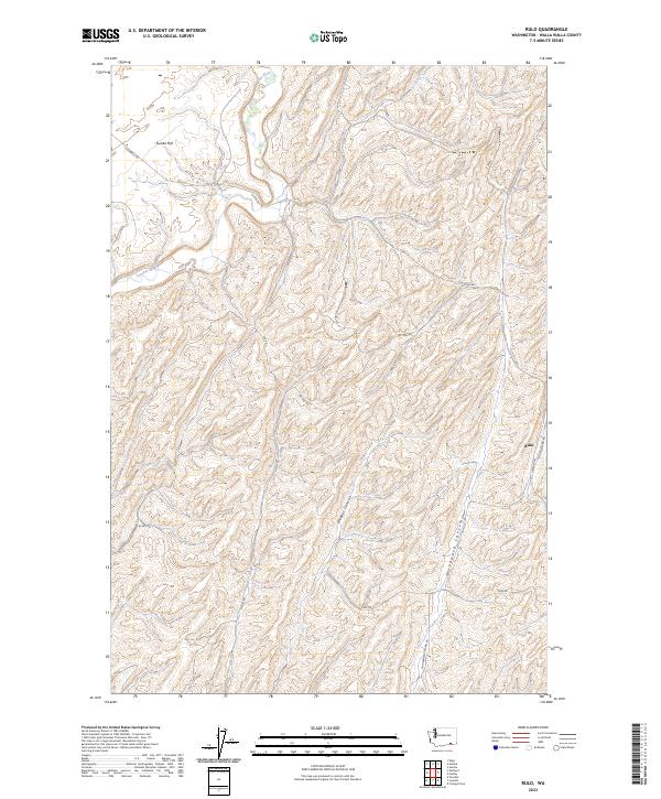
2023 Rulo
Walla Walla County, WA
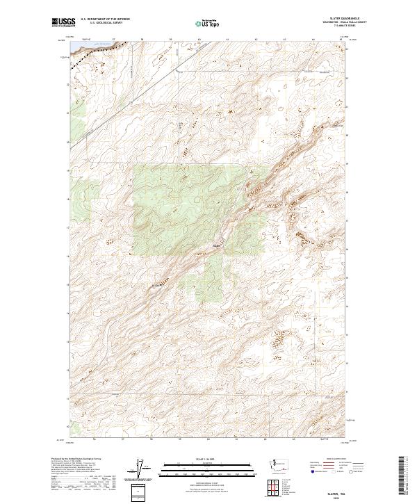
2023 Slater
Walla Walla County, WA
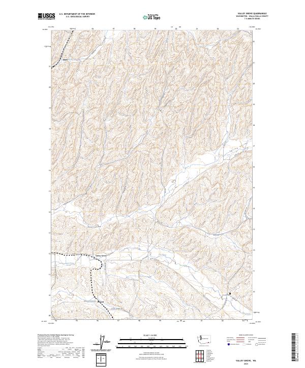
2023 Valley Grove
Walla Walla County, WA
2023 Welland
Walla Walla County, WA

2023 Zangar Junction
Walla Walla County, WA