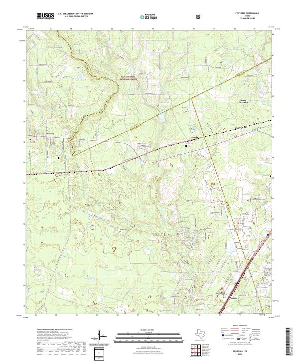
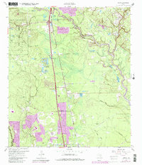
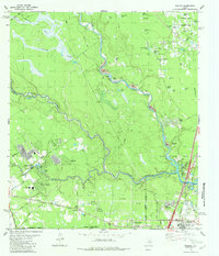
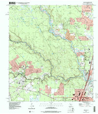
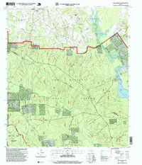
2022 Map of Fostoria
USGS Topo · Published 2022About this map
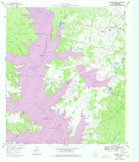
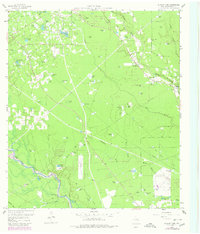
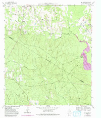
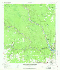
The Sam Houston National Forest occupies the northern reaches of this East Texas terrain, where the boundaries of Montgomery, San Jacinto, and Liberty Counties converge. A dense network of local roads and creek systems, including the southward-flowing Peach Cr and Jayhawker Cr, characterizes the landscape. The settlement of Fostoria sits centrally, supported by nearby historic sites such as the Fostoria Cem and Morgan Cem. To the south, the community of Splendora and the smaller Midline area represent the continued growth along the transport corridors. The map details a transition from protected forest lands to rural residential pockets like Security, with numerous small water bodies such as Round Pond and Grassy Pond dotting the low-lying areas. Genealogists can trace family footprints through several well-marked burial grounds, including the Chapel of Chimes Cem and the Pin Oak Cem located near the eastern edge.
Find a feature on this map
152 named features on this map. Tap any name to fly to it.
Don’t see what you’re looking for? This feature index may not catch every label — zoom into the map to look around manually.
Map Details
Editions of this 2022 Fostoria Map
This is the sole edition of this map. No revisions or reprints were ever made.
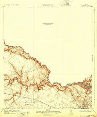
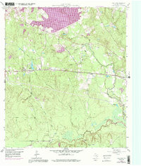
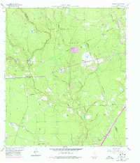
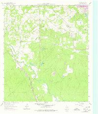
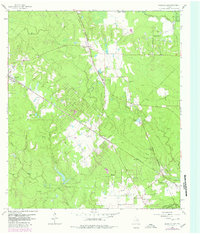
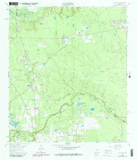
Historical Maps of Fostoria Through Time
28 maps found
1919 Weeden
Montgomery County, TX
1958 Cowl Spur
Montgomery County, TX
1958 Fostoria
Montgomery County, TX
1958 Shepard Hill
Montgomery County, TX
1959 Outlaw Pond
Montgomery County, TX
1959 San Jacinto
Montgomery County, TX
1961 Maedan
Montgomery County, TX
1961 Tamina
Montgomery County, TX
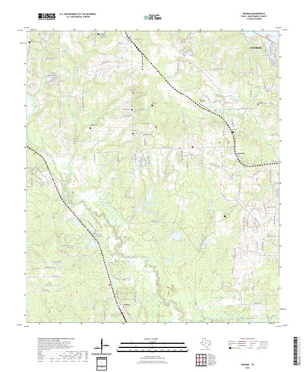
1962 Keenan
Montgomery County, TX
1962 Magnolia East
Montgomery County, TX
1962 Oklahoma
Montgomery County, TX
1982 Maedan
Montgomery County, TX
1995 Maedan
Montgomery County, TX
1997 Cut And Shoot
Montgomery County, TX
1997 Fostoria
Montgomery County, TX
1997 San Jacinto
Montgomery County, TX
1997 Shepard Hill
Montgomery County, TX
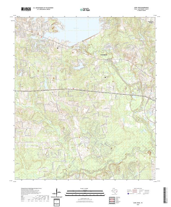
2022 Cowl Spur
Montgomery County, TX
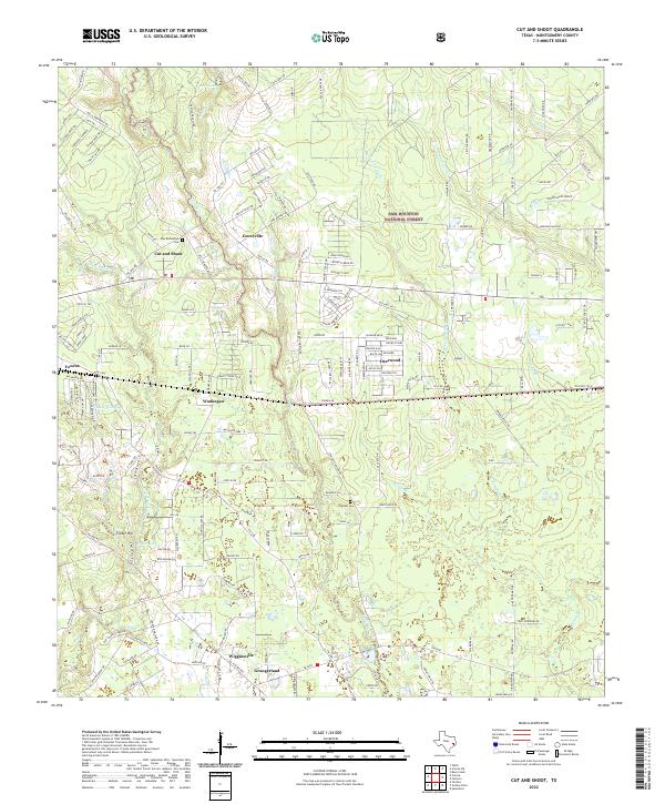
2022 Cut And Shoot
Montgomery County, TX
2022 Fostoria
Montgomery County, TX
2022 Keenan
Montgomery County, TX
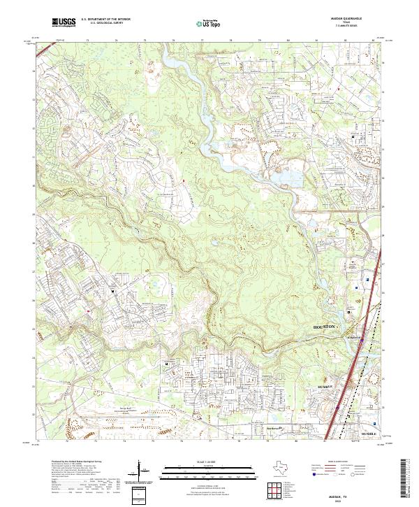
2022 Maedan
Montgomery County, TX
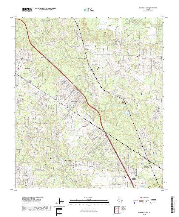
2022 Magnolia East
Montgomery County, TX
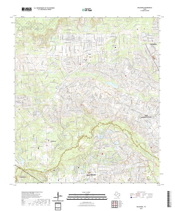
2022 Oklahoma
Montgomery County, TX
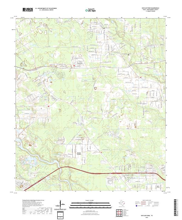
2022 Outlaw Pond
Montgomery County, TX
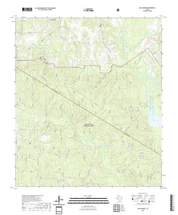
2022 San Jacinto
Montgomery County, TX
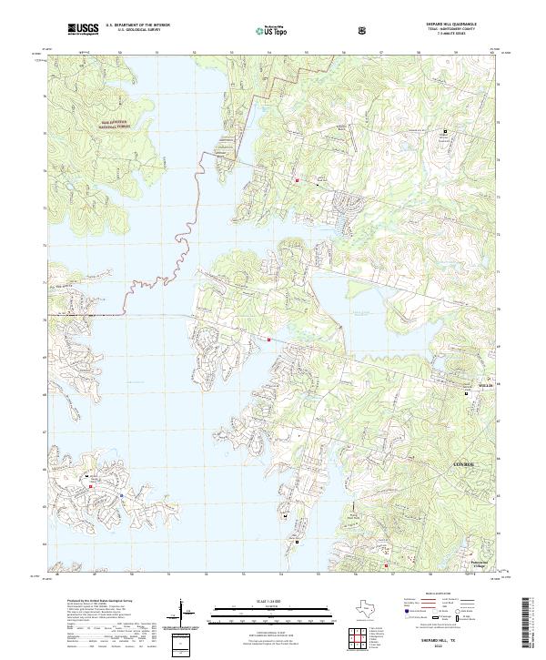
2022 Shepard Hill
Montgomery County, TX
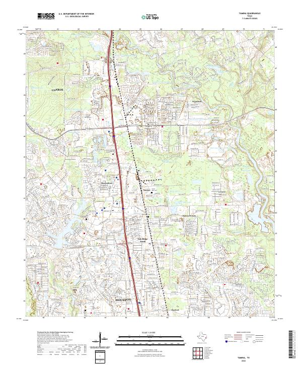
2022 Tamina
Montgomery County, TX