
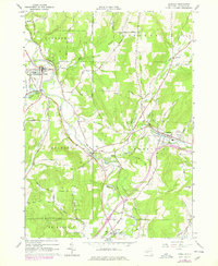
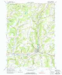
2023 Map of Friendship
USGS Topo · Published 2023About this map
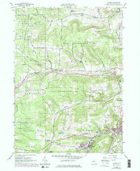
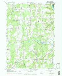
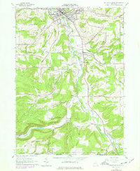
Friendship serves as a primary hub in this corner of Allegany County, situated where the valley of Tannery Creek meets the broader drainage of Van Campen Creek. The landscape is defined by its deep notches and high ridges, notably Jackson Hill and Beebe Hill, which dictate the winding paths of rural routes like Cuba Friendship Rd and Jackson Hill Rd. The settlement pattern reflects a deeply rooted rural history, with smaller clusters at Nile, West Notch, and West Clarksville connected by a network of family-named roads.
Find a feature on this map
91 named features on this map. Tap any name to fly to it.
Don’t see what you’re looking for? This feature index may not catch every label — zoom into the map to look around manually.
Map Details
Editions of this 2023 Friendship Map
This is the sole edition of this map. No revisions or reprints were ever made.
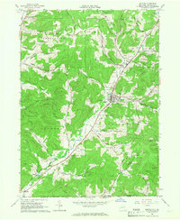
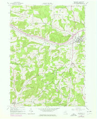
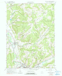
Historical Maps of Friendship Through Time
27 maps found
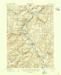
1906 Angelica
Allegany County, NY
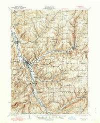
1926 Wellsville
Allegany County, NY

1941 Angelica
Allegany County, NY
1964 Alfred
Allegany County, NY
1964 Angelica
Allegany County, NY
1964 Birdsall
Allegany County, NY
1964 Black Creek
Allegany County, NY
1964 West Almond
Allegany County, NY
1965 Allentown
Allegany County, NY
1965 Andover
Allegany County, NY
1965 Bolivar
Allegany County, NY
1965 Friendship
Allegany County, NY
1965 Wellsville North
Allegany County, NY
1965 Wellsville South
Allegany County, NY
1965 Whitesville
Allegany County, NY

2023 Alfred
Allegany County, NY

2023 Allentown
Allegany County, NY

2023 Andover
Allegany County, NY

2023 Angelica
Allegany County, NY

2023 Birdsall
Allegany County, NY

2023 Black Creek
Allegany County, NY

2023 Bolivar
Allegany County, NY
2023 Friendship
Allegany County, NY

2023 Wellsville North
Allegany County, NY

2023 Wellsville South
Allegany County, NY

2023 West Almond
Allegany County, NY

2023 Whitesville
Allegany County, NY