
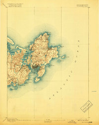
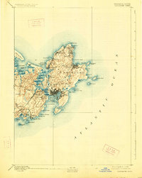
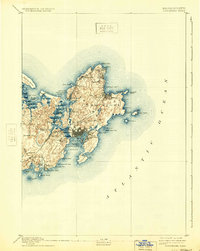
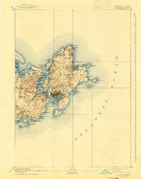
1893 Map of Gloucester
USGS Topo · Published 1893About this map
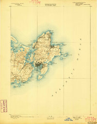
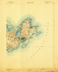
Cape Ann's seafaring character is captured in detail during the late nineteenth century, centering on the busy maritime hub of Gloucester. The landscape is a network of granite shorelines and tidal estuaries, where the Squam River and Mill River divide the interior terrain. Industrial activity is evident along the Boston and Maine Railroad, which connects the West Gloucester Station and Magnolia Station to the primary harbor.
Find a feature on this map
73 named features on this map. Tap any name to fly to it.
Don’t see what you’re looking for? This feature index may not catch every label — zoom into the map to look around manually.
Map Details
Editions of this 1893 Gloucester Map
9 editions found
Other maps of this area

1886 · Gloucester
USGS Topo · 1:62,500

1888 · Newburyport
USGS Topo · 1:62,500

1888 · Gloucester
USGS Topo · 1:62,500

1888 · Salem
USGS Topo · 1:62,500

1890 · Newburyport
USGS Topo · 1:62,500

1892 · Boston Bay
USGS Topo · 1:62,500

1893 · Salem
USGS Topo · 1:62,500

1894 · Newburyport
USGS Topo · 1:62,500

1903 · Boston Bay
USGS Topo · 1:62,500

1917 · Salem
USGS Topo · 1:62,500