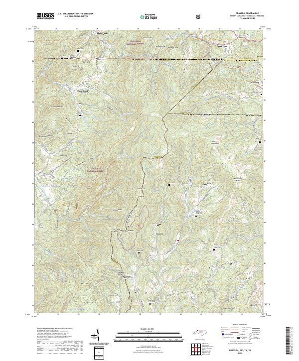
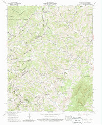
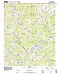
2022 Map of Grayson
USGS Topo · Published 2022This historical map portrays the area of Grayson in 2022, primarily covering Ashe County as well as portions of Virginia and Tennessee. Featuring a scale of 1:24000, this map provides a highly detailed snapshot of the terrain, roads, buildings, counties, and historical landmarks in the Grayson region at the time. Published in 2022, it is the sole known edition of this map.
Map Details
Editions of this 2022 Grayson Map
This is the sole edition of this map. No revisions or reprints were ever made.
Historical Maps of Grayson Through Time
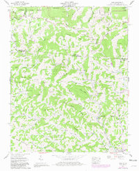
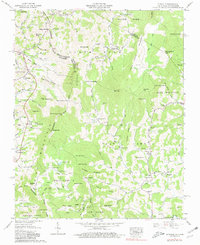
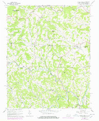
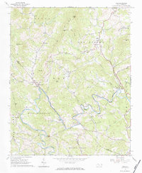
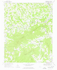
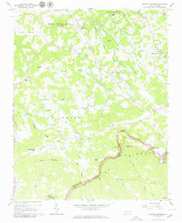
27 maps found

1935 Baldwin Gap
Ashe County, NC

1935 Park
Ashe County, NC

1935 Zionville
Ashe County, NC
1938 Baldwin Gap
Ashe County, NC
1939 Baldwin Gap
Ashe County, NC
1939 Zionville
Ashe County, NC
1959 Baldwin Gap
Ashe County, NC
1959 Park
Ashe County, NC
1959 Zionville
Ashe County, NC
1966 Grassy Creek
Ashe County, NC
1966 Mouth Of Wilson
Ashe County, NC
1966 Todd
Ashe County, NC
1966 Warrensville
Ashe County, NC
1967 Glendale Springs
Ashe County, NC
1968 Laurel Springs
Ashe County, NC
1996 Laurel Springs
Ashe County, NC
1998 Todd
Ashe County, NC
2000 Glendale Springs
Ashe County, NC
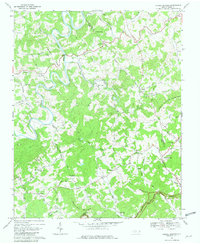
2003 Baldwin Gap
Ashe County, NC
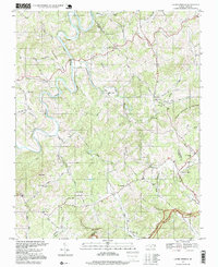
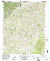
2022 Baldwin Gap
Ashe County, NC
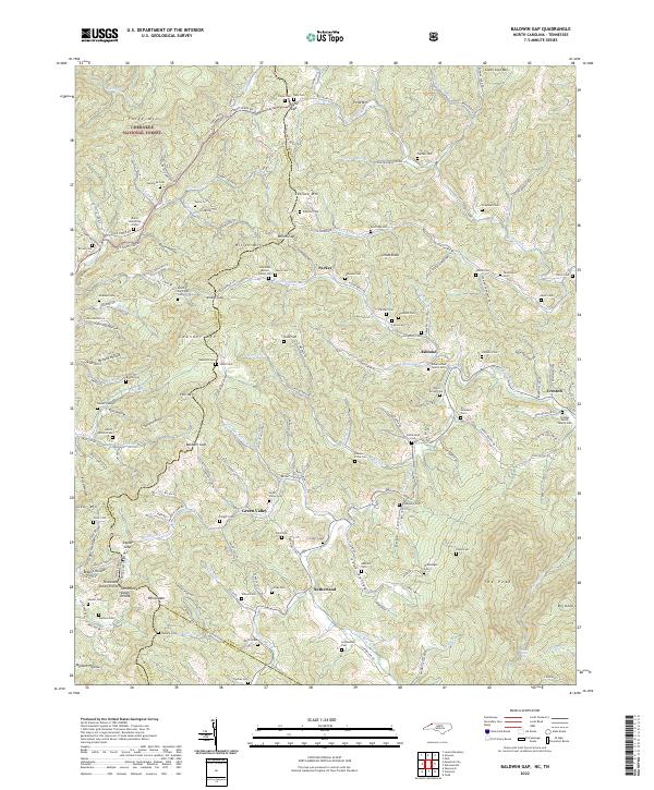
2022 Glendale Springs
Ashe County, NC
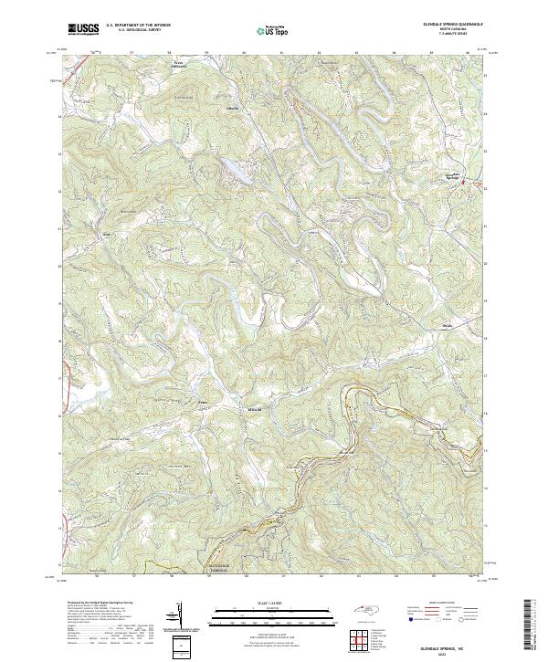
2022 Grassy Creek
Ashe County, NC
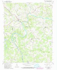
2022 Grayson
Ashe County, NC
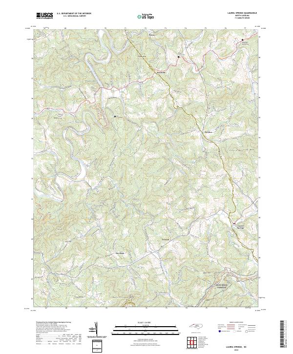
2022 Laurel Springs
Ashe County, NC
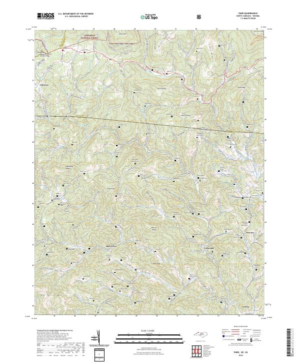
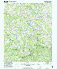
2022 Park
Ashe County, NC
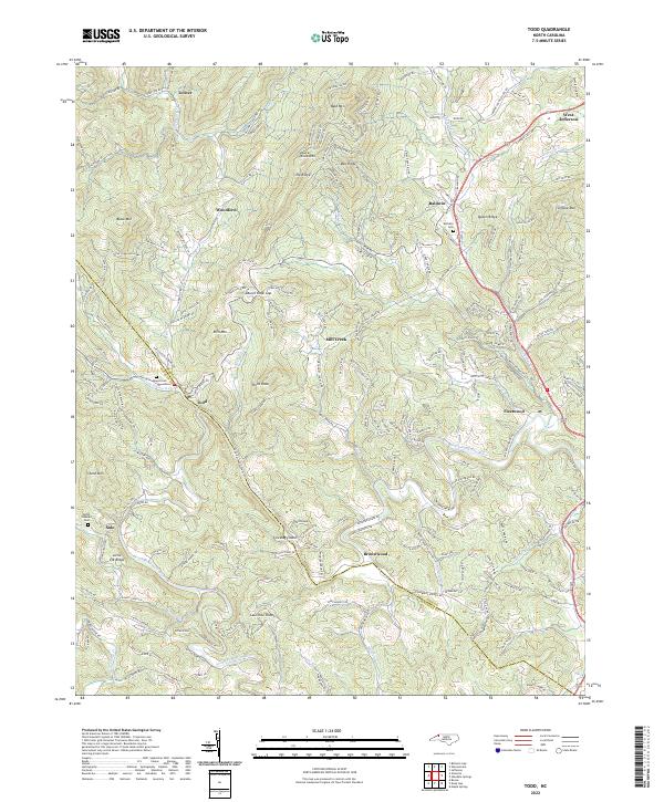
2022 Todd
Ashe County, NC
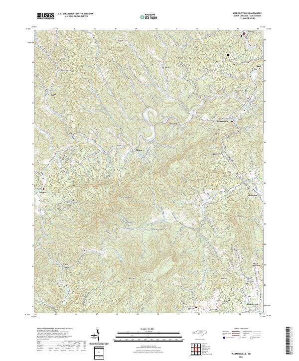
2022 Warrensville
Ashe County, NC