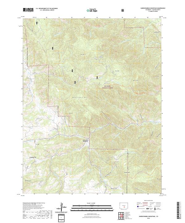
2022 Map of Hardscrabble Mountain
USGS Topo · Published 2022About this map
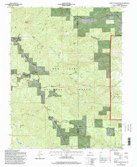
McKenzie Junction serves as a primary navigational point within the eastern slopes of the Wet Mountains, where the canyon geography dictates the flow of modern roadways like Co RD 271 and Cold Springs Rd. The landscape is dominated by the massive profile of Hardscrabble Mtn and the surrounding San Isabel National Forest, characterized by a complex drainage system including N Hardscrabble Cr and Middle Hardscrabble Cr.
Find a feature on this map
56 named features on this map. Tap any name to fly to it.
Don’t see what you’re looking for? This feature index may not catch every label — zoom into the map to look around manually.
Map Details
Editions of this 2022 Hardscrabble Mountain Map
This is the sole edition of this map. No revisions or reprints were ever made.
Historical Maps of Mackenzie Junction Through Time
39 maps found
1954 Mount Tyndall
Custer County, CO

1954 Rosita
Custer County, CO
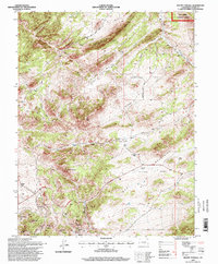
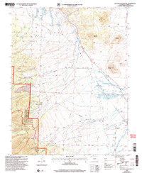
1957 Aldrich Gulch
Custer County, CO
1958 Beckwith Mountain
Custer County, CO
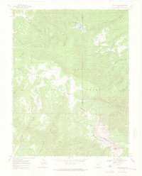
1959 Electric Peak
Custer County, CO
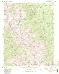
1959 Horn Peak
Custer County, CO
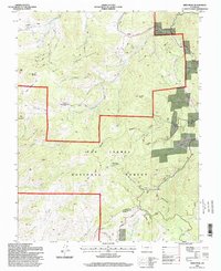
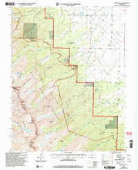
1960 Beck Mountain
Custer County, CO
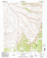
1960 Devils Gulch
Custer County, CO
1963 Deer Peak
Custer County, CO
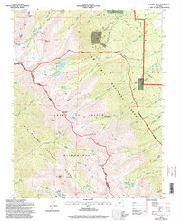
1963 Hardscrabble Mountain
Custer County, CO
1963 Saint Charles Peak
Custer County, CO
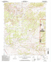
1963 Wetmore
Custer County, CO
1969 San Isabel
Custer County, CO
1980 Electric Peak
Custer County, CO
1994 Deer Peak
Custer County, CO
1994 Devils Gulch
Custer County, CO
1994 Electric Peak
Custer County, CO
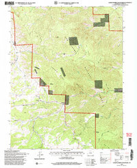
1994 Hardscrabble Mountain
Custer County, CO
1994 Mount Tyndall
Custer County, CO
1994 Rosita
Custer County, CO
1994 Saint Charles Peak
Custer County, CO
1994 San Isabel
Custer County, CO
1994 Wetmore
Custer County, CO
2001 Beck Mountain
Custer County, CO
2001 Beckwith Mountain
Custer County, CO
2001 Horn Peak
Custer County, CO
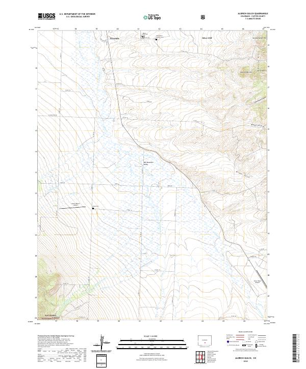
2022 Aldrich Gulch
Custer County, CO
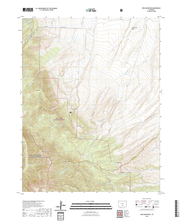
2022 Beck Mountain
Custer County, CO
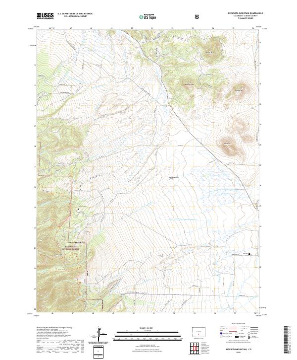
2022 Beckwith Mountain
Custer County, CO
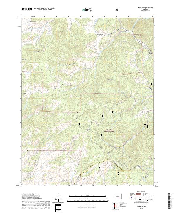
2022 Deer Peak
Custer County, CO
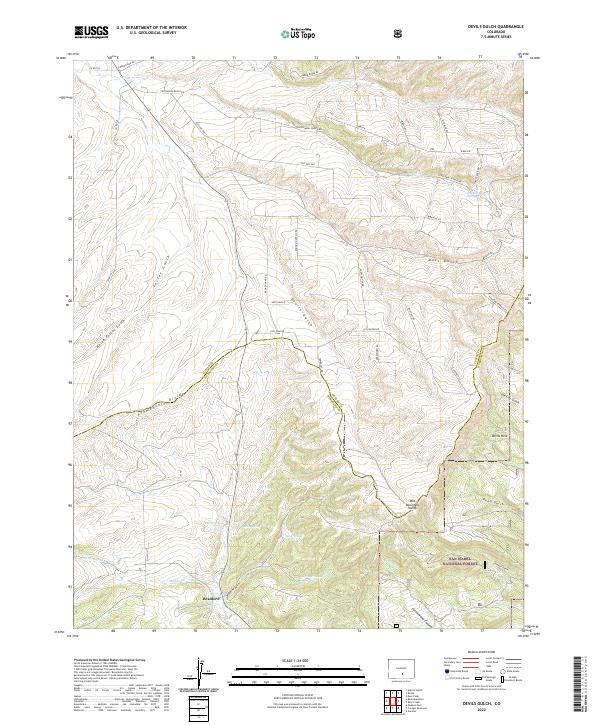
2022 Devils Gulch
Custer County, CO
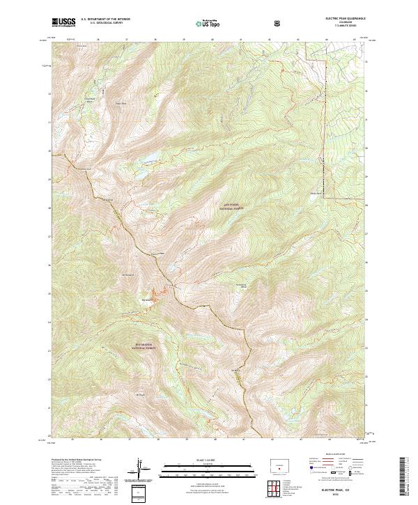
2022 Electric Peak
Custer County, CO
2022 Hardscrabble Mountain
Custer County, CO
2022 Horn Peak
Custer County, CO
2022 Mount Tyndall
Custer County, CO
2022 Rosita
Custer County, CO
2022 Saint Charles Peak
Custer County, CO
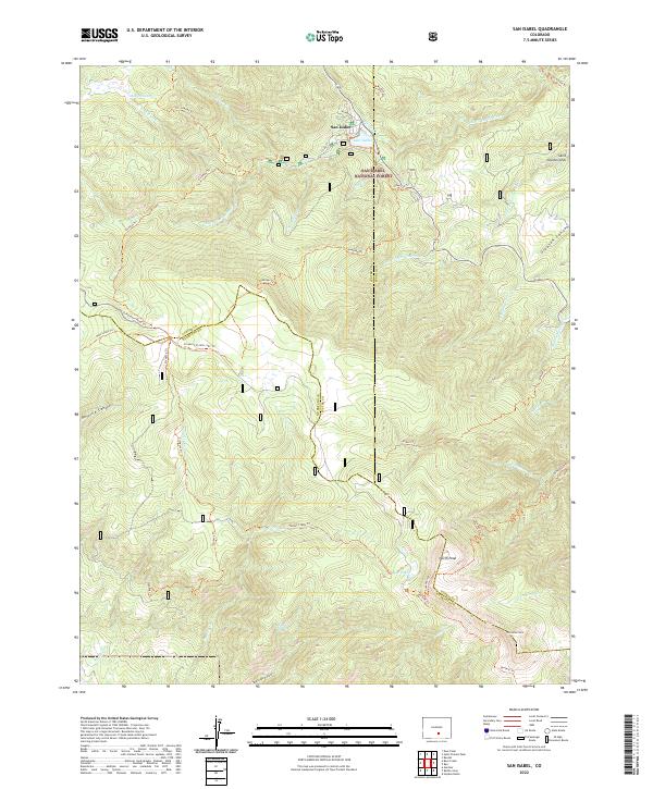
2022 San Isabel
Custer County, CO
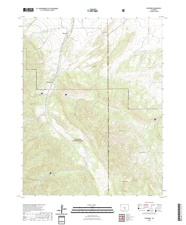
2022 Wetmore
Custer County, CO