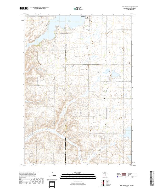
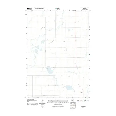
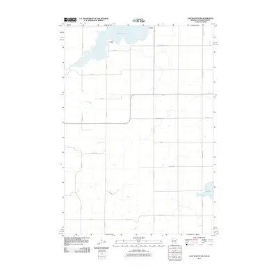
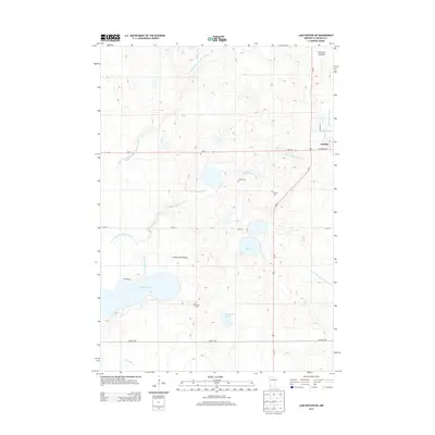
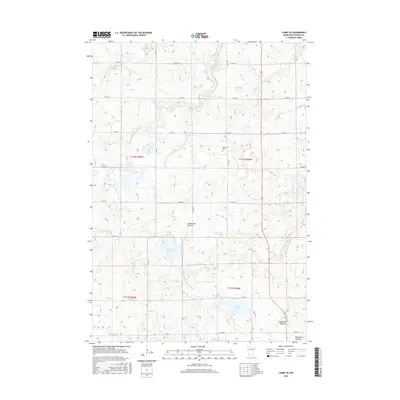
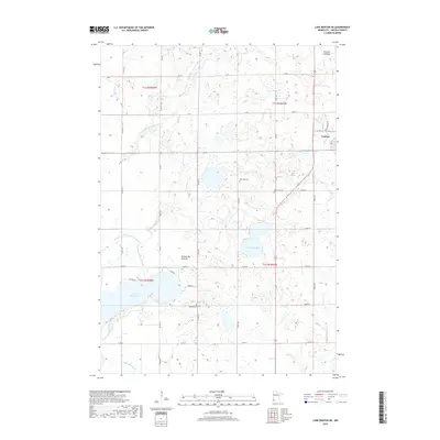
2022 Map of Lake Benton NW
USGS Topo · Published 2022About this map
The Coteau des Prairies plateau defines this portion of the Minnesota and South Dakota borderlands, where the high ground forms a critical drainage divide. In the northwest corner, the Lac qui Parle River originates near Lake Hendricks, while further south, the waters of Deer Creek and the shores of Lake Shaokatan mark the landscape. This 2022 survey captures the enduring rural character of the region, emphasizing the strict section-line road grid that segments the prairie.
Find a feature on this map
29 named features on this map. Tap any name to fly to it.
Don’t see what you’re looking for? This feature index may not catch every label — zoom into the map to look around manually.
Map Details
Editions of this 2022 Lake Benton NW Map
This is the sole edition of this map. No revisions or reprints were ever made.
Historical Maps of Hendricks Through Time
30 maps found
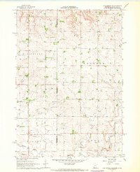
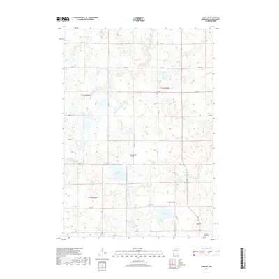
1967 Canby SE
Lincoln County, MN
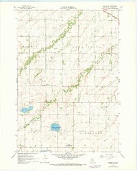
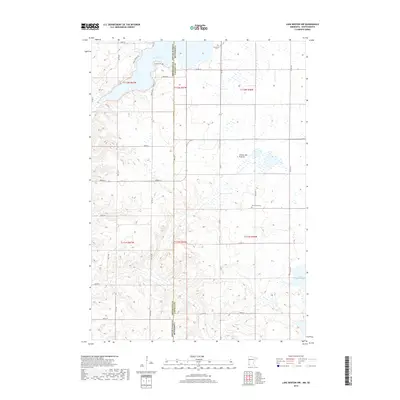
1967 Lake Benton NE
Lincoln County, MN
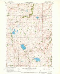
1967 Lake Benton NW
Lincoln County, MN
1967 Lake Benton SW
Lincoln County, MN
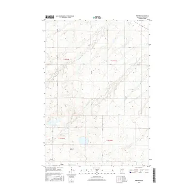
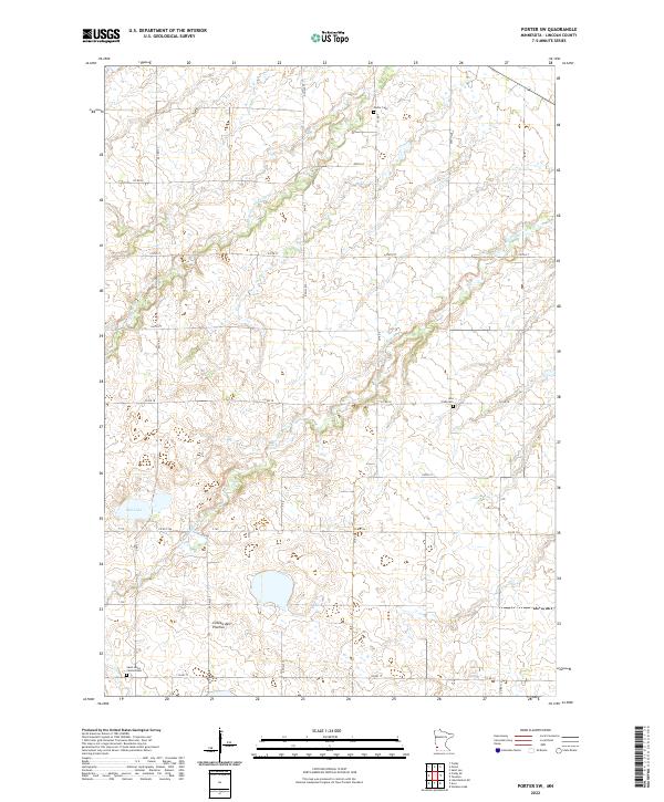
1967 Porter SW
Lincoln County, MN
2010 Canby SE
Lincoln County, MN
2010 Lake Benton NE
Lincoln County, MN
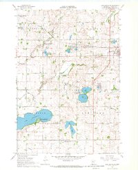
2010 Lake Benton NW
Lincoln County, MN
2010 Lake Benton SW
Lincoln County, MN
2010 Porter SW
Lincoln County, MN
2013 Canby SE
Lincoln County, MN
2013 Lake Benton NE
Lincoln County, MN
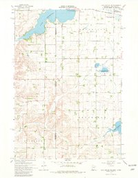
2013 Lake Benton NW
Lincoln County, MN
2013 Lake Benton SW
Lincoln County, MN
2013 Porter SW
Lincoln County, MN
2016 Canby SE
Lincoln County, MN
2016 Lake Benton NE
Lincoln County, MN
2016 Lake Benton NW
Lincoln County, MN
2016 Lake Benton SW
Lincoln County, MN
2016 Porter SW
Lincoln County, MN
2019 Canby SE
Lincoln County, MN
2019 Lake Benton NE
Lincoln County, MN
2019 Lake Benton NW
Lincoln County, MN
2019 Lake Benton SW
Lincoln County, MN
2019 Porter SW
Lincoln County, MN
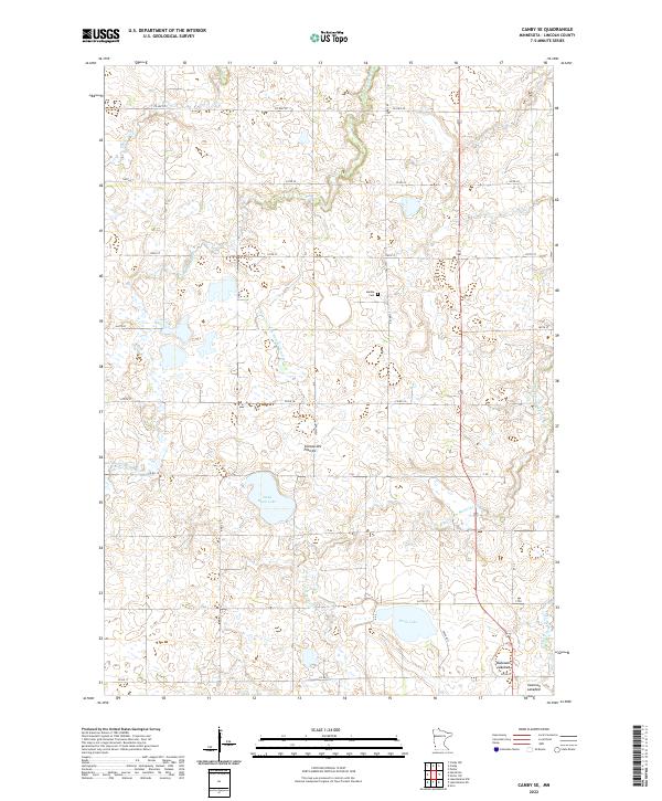
2022 Canby SE
Lincoln County, MN
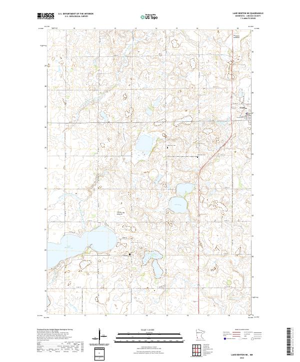
2022 Lake Benton NE
Lincoln County, MN
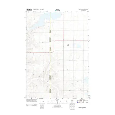
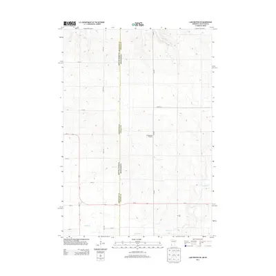
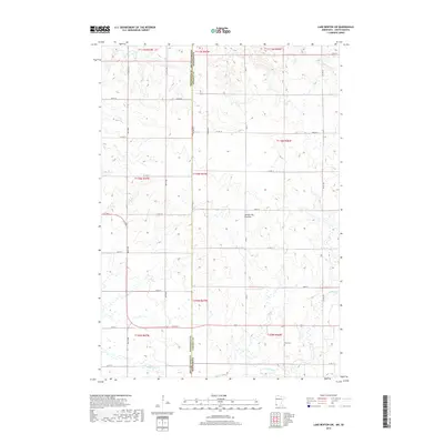
2022 Lake Benton NW
Lincoln County, MN

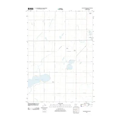
2022 Lake Benton SW
Lincoln County, MN
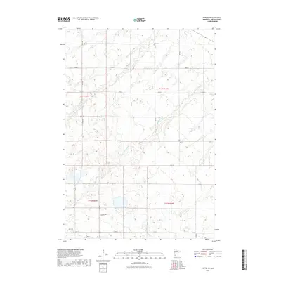
2022 Porter SW
Lincoln County, MN