
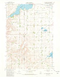
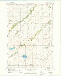
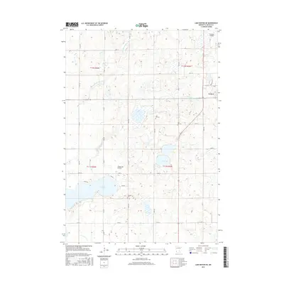
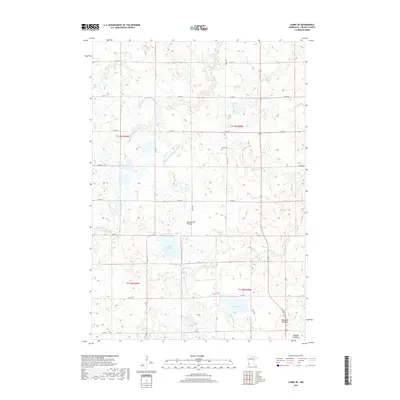
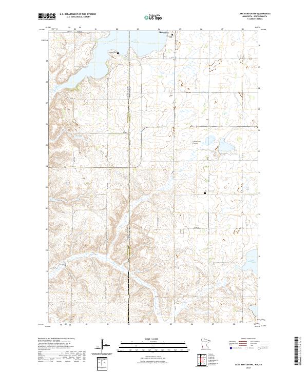
2022 Map of Lake Benton SW
USGS Topo · Published 2022About this map
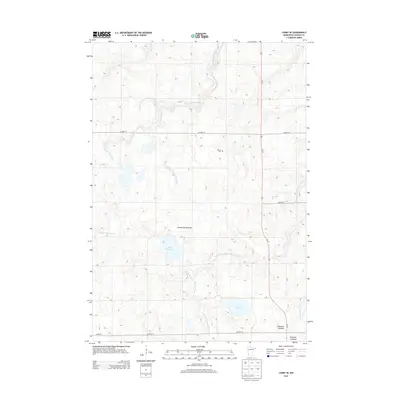
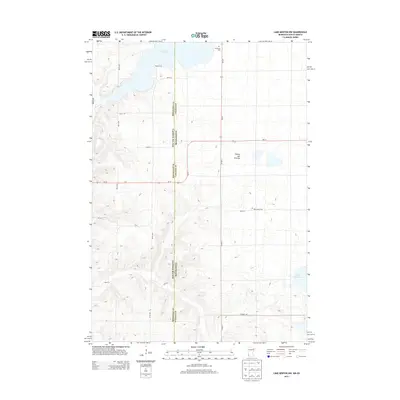
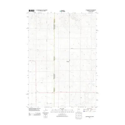
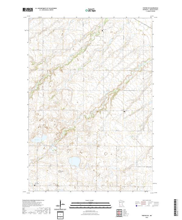
The Coteau des Prairies upland plateau dominates this landscape along the border of Lincoln County, Minnesota, and Brookings County, South Dakota. This high prairie region, characterized by its distinct glacial topography, is drained by the winding course of Medary Cr in the southern portion of the quadrangle. The agricultural character of the era is defined by a rigid grid of section lines and rural routes, including Co RD 1 and Co RD 131. Genealogists and local historians will find the Stolz Cem situated in the southeastern corner, serving as a quiet landmark of the area's early settlement. The map clearly delineates the interstate boundary between Minnesota and South Dakota, showing how the township and range system organized the land for farming across the two states.
Find a feature on this map
33 named features on this map. Tap any name to fly to it.
Don’t see what you’re looking for? This feature index may not catch every label — zoom into the map to look around manually.
Map Details
Editions of this 2022 Lake Benton SW Map
This is the sole edition of this map. No revisions or reprints were ever made.
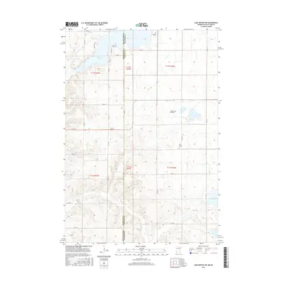
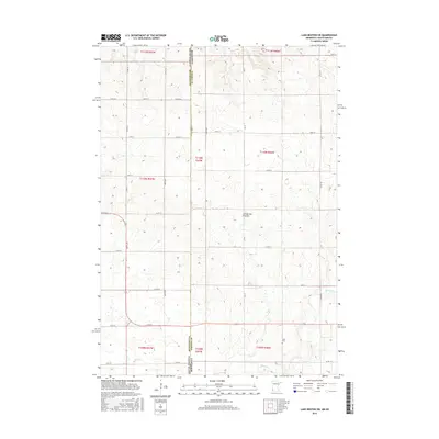
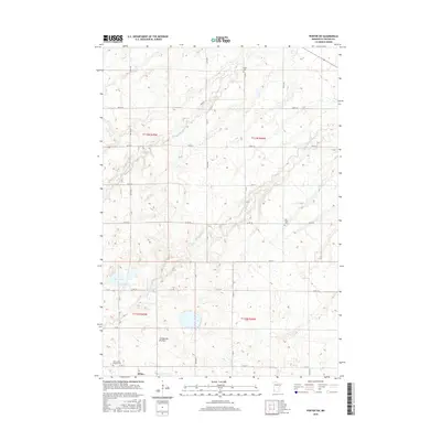
Historical Maps of Richland Township Through Time
30 maps found
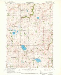
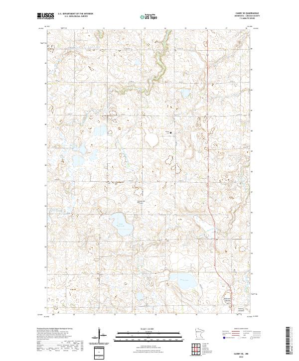
1967 Canby SE
Lincoln County, MN
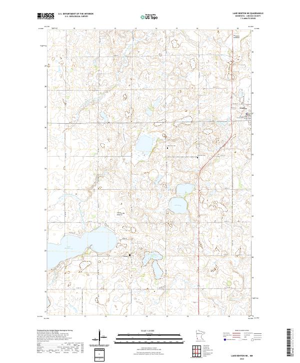
1967 Lake Benton NE
Lincoln County, MN
1967 Lake Benton NW
Lincoln County, MN
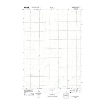
1967 Lake Benton SW
Lincoln County, MN
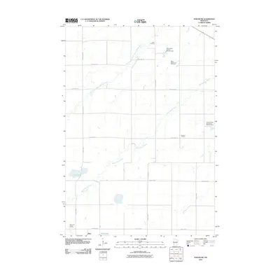
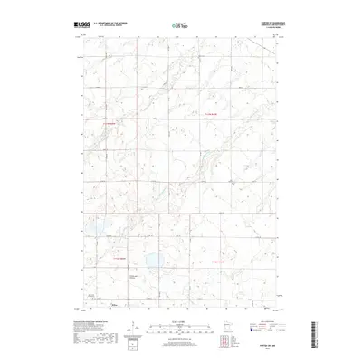
1967 Porter SW
Lincoln County, MN
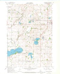
2010 Canby SE
Lincoln County, MN
2010 Lake Benton NE
Lincoln County, MN
2010 Lake Benton NW
Lincoln County, MN
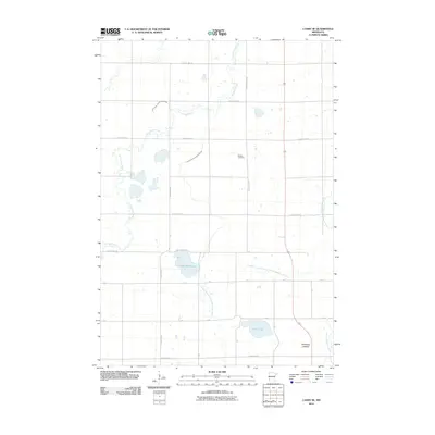
2010 Lake Benton SW
Lincoln County, MN
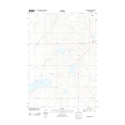
2010 Porter SW
Lincoln County, MN
2013 Canby SE
Lincoln County, MN
2013 Lake Benton NE
Lincoln County, MN
2013 Lake Benton NW
Lincoln County, MN
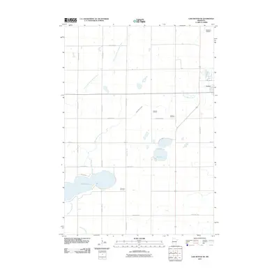
2013 Lake Benton SW
Lincoln County, MN
2013 Porter SW
Lincoln County, MN
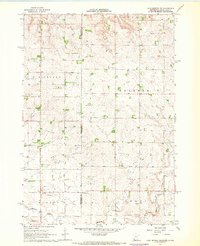
2016 Canby SE
Lincoln County, MN
2016 Lake Benton NE
Lincoln County, MN
2016 Lake Benton NW
Lincoln County, MN
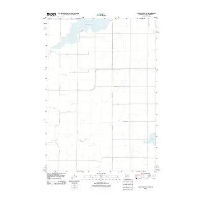
2016 Lake Benton SW
Lincoln County, MN
2016 Porter SW
Lincoln County, MN
2019 Canby SE
Lincoln County, MN
2019 Lake Benton NE
Lincoln County, MN
2019 Lake Benton NW
Lincoln County, MN
2019 Lake Benton SW
Lincoln County, MN
2019 Porter SW
Lincoln County, MN
2022 Canby SE
Lincoln County, MN
2022 Lake Benton NE
Lincoln County, MN
2022 Lake Benton NW
Lincoln County, MN
2022 Lake Benton SW
Lincoln County, MN
2022 Porter SW
Lincoln County, MN