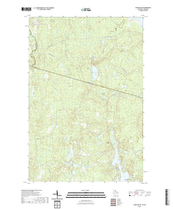
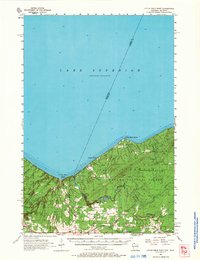
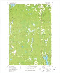
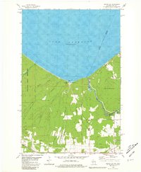
2022 Map of Lake Evelyn
USGS Topo · Published 2022About this map
The Wisconsin Michigan state line bisects this northern woodland landscape, where the Montreal River snakes along the western edge. This region is defined by an intricate network of glacial lakes and wetlands, including the namesake Lake Evelyn and its neighbors Lake Dorothy and Lake Barbara. The terrain is marked by the divide between the Black River system to the north and the upper reaches of the Montreal River to the south.
Find a feature on this map
44 named features on this map. Tap any name to fly to it.
Don’t see what you’re looking for? This feature index may not catch every label — zoom into the map to look around manually.
Map Details
Editions of this 2022 Lake Evelyn Map
This is the sole edition of this map. No revisions or reprints were ever made.
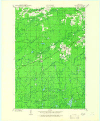
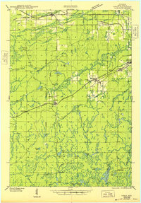
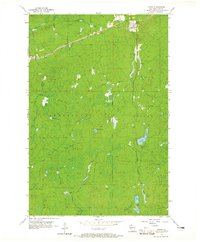
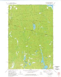
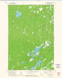
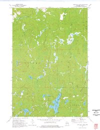
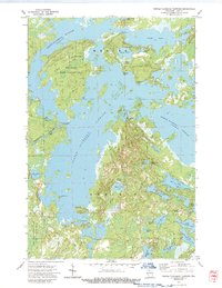
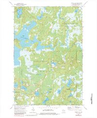
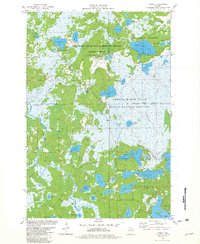
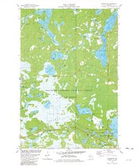
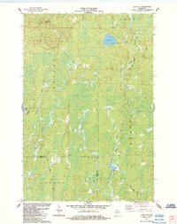
Historical Maps of Oma Through Time
26 maps found
1940 Upson
Iron County, WI
1943 Upson
Iron County, WI
1947 Naults
Iron County, WI
1956 Little Girls Point
Iron County, WI
1956 Upson
Iron County, WI
1973 Lake Evelyn
Iron County, WI
1973 Lake of The Falls
Iron County, WI
1973 Pine Lake
Iron County, WI
1973 Turntable Creek
Iron County, WI
1973 Turtle-Flambeau Flowage
Iron County, WI
1973 Wilson Lake
Iron County, WI
1980 Oronto Bay
Iron County, WI
1981 Powell
Iron County, WI
1981 Winchester
Iron County, WI
1984 Lake Six
Iron County, WI
2022 Lake Evelyn
Iron County, WI
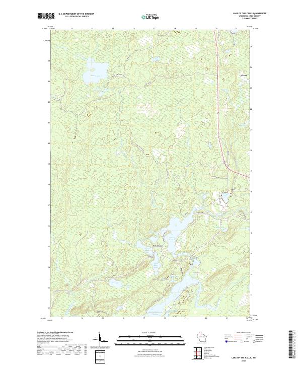
2022 Lake of the Falls
Iron County, WI
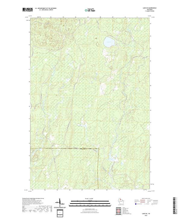
2022 Lake Six
Iron County, WI
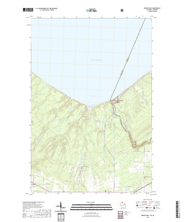
2022 Oronto Bay
Iron County, WI
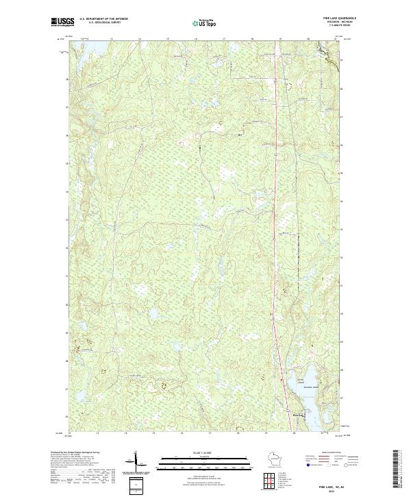
2022 Pine Lake
Iron County, WI
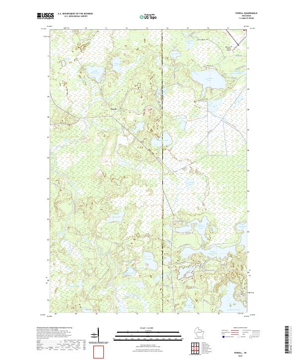
2022 Powell
Iron County, WI
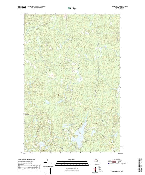
2022 Turntable Creek
Iron County, WI
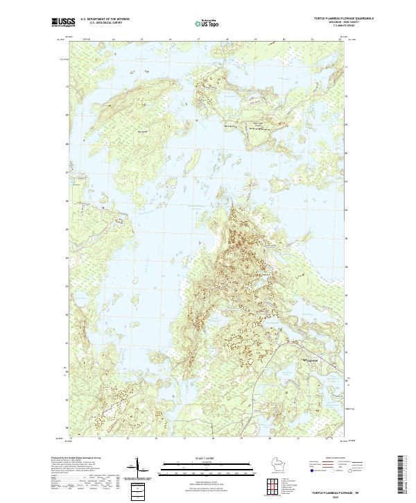
2022 Turtle-Flambeau Flowage
Iron County, WI
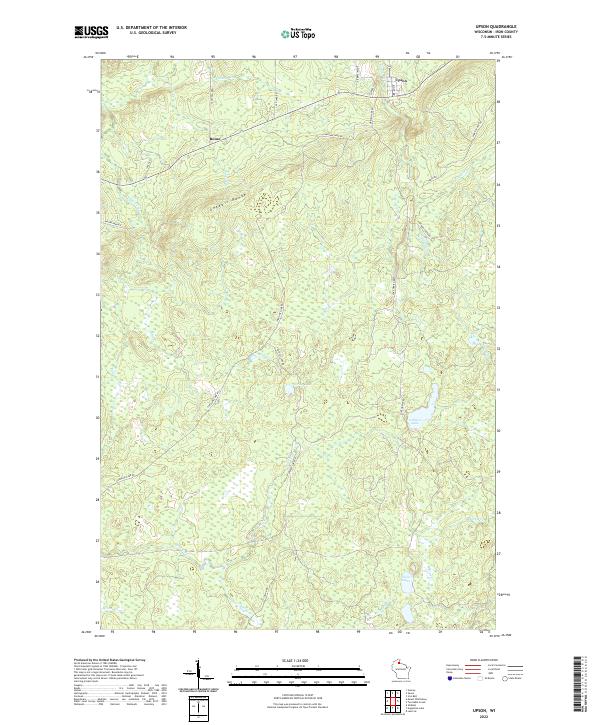
2022 Upson
Iron County, WI
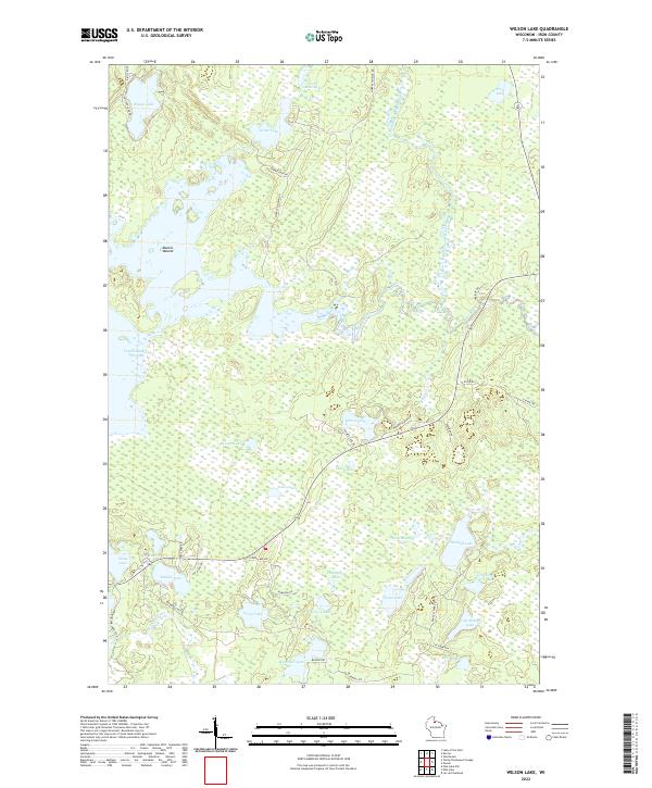
2022 Wilson Lake
Iron County, WI
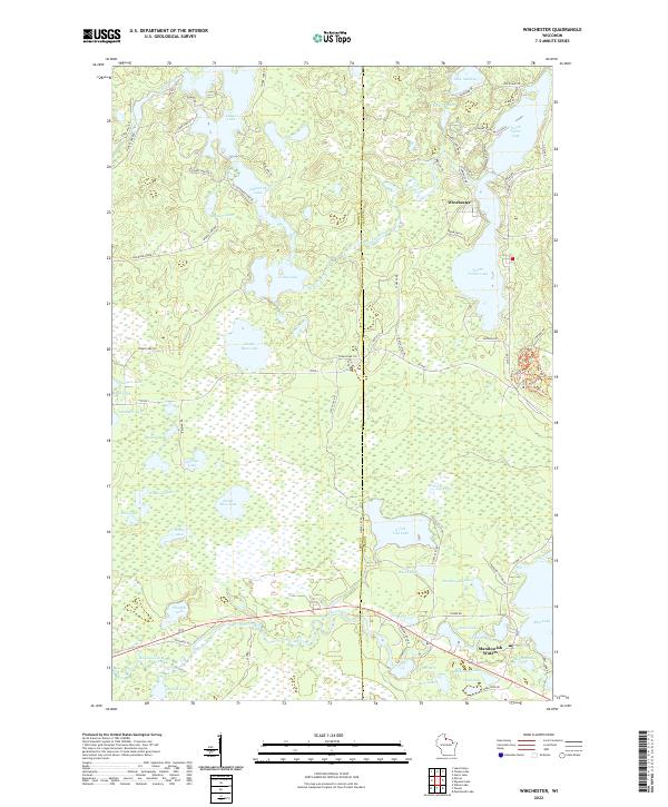
2022 Winchester
Iron County, WI