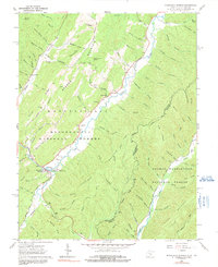
2023 Map of Lobelia
USGS Topo · Published 2023About this map
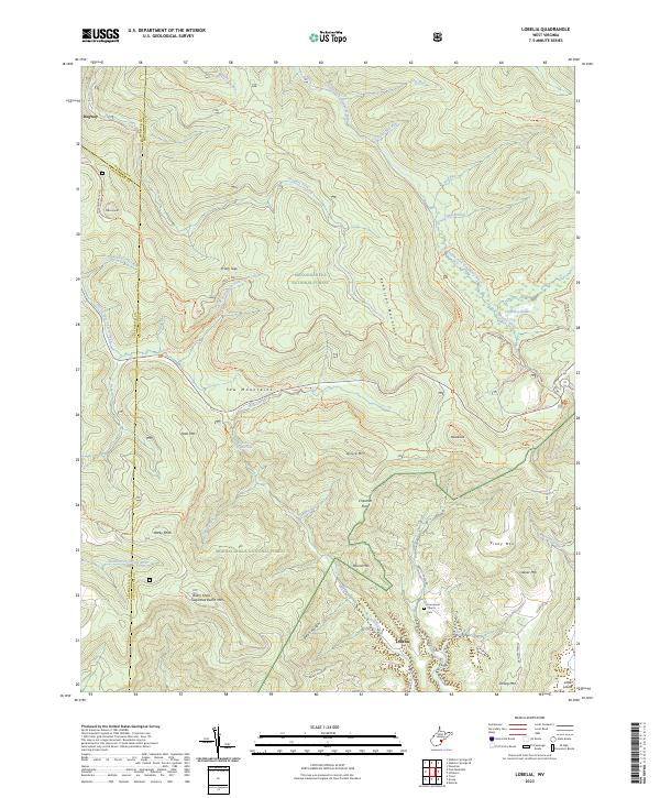
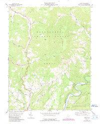
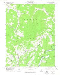
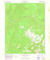
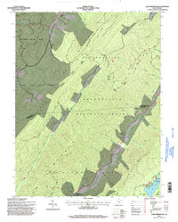
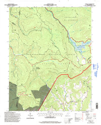
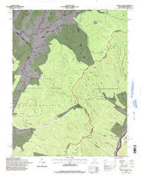
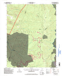
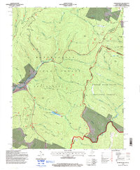
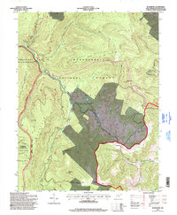
The settlement of Lobelia sits at the southern edge of this high-elevation landscape, where the Yew Mountains and Kennison Mountains dominate the horizon. This territory is defined by its dramatic drainage networks, featuring the South Fork Cranberry River and the famous Cranberry Glades. Near the community of Lobelia, the Emmanuel Church and Emmanuel Church Cem serve as important local landmarks for genealogical research. The map captures a wilderness-adjacent area where narrow mountain roads like Lobelia Rd and Briery Knob Rd connect isolated homesteads and high ridges. Significant natural features including the Falls of Hills Creek and peaks such as Briery Knob and Point Mtn illustrate the vertical nature of the terrain. To the north, the former site of Dogway marks a point of historical interest along the Dogway Fork, while much of the eastern portion is protected within the Cranberry Wilderness.
Find a feature on this map
66 named features on this map. Tap any name to fly to it.
Don’t see what you’re looking for? This feature index may not catch every label — zoom into the map to look around manually.
Map Details
Editions of this 2023 Lobelia Map
This is the sole edition of this map. No revisions or reprints were ever made.
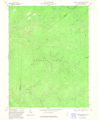
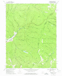
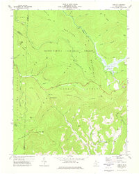
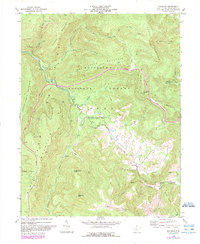
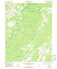
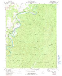
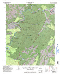
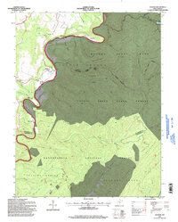
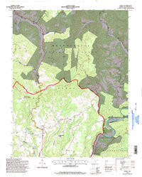
Historical Maps of Dogway Through Time
40 maps found
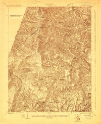
1923 Mingo
Pocahontas County, WV
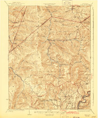
1925 Mingo
Pocahontas County, WV
1961 Paddy Knob
Pocahontas County, WV
1962 Minnehaha Springs
Pocahontas County, WV
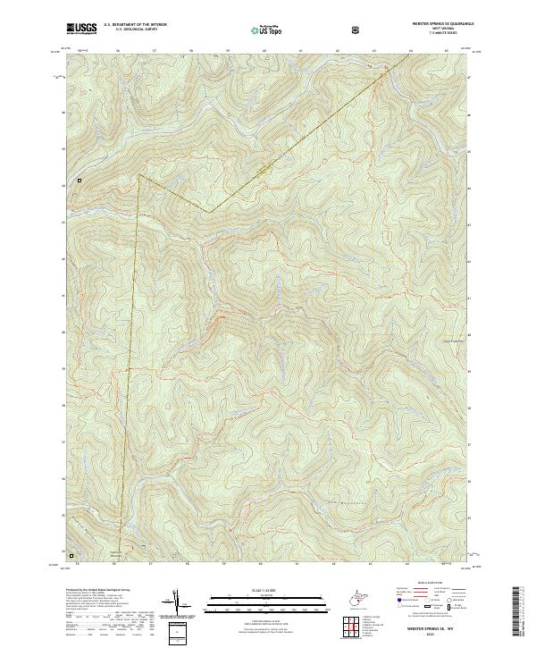
1967 Webster Springs SE
Pocahontas County, WV
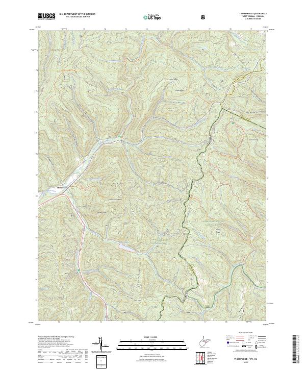
1969 Thornwood
Pocahontas County, WV
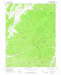
1973 Lobelia
Pocahontas County, WV
1974 Edray
Pocahontas County, WV
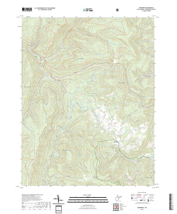
1974 Woodrow
Pocahontas County, WV
1977 Clover Lick
Pocahontas County, WV
1977 Denmar
Pocahontas County, WV
1977 Edray
Pocahontas County, WV
1977 Lake Sherwood
Pocahontas County, WV
1977 Mingo
Pocahontas County, WV
1977 Sharp Knob
Pocahontas County, WV
1977 Woodrow
Pocahontas County, WV
1995 Clover Lick
Pocahontas County, WV
1995 Denmar
Pocahontas County, WV
1995 Edray
Pocahontas County, WV
1995 Lake Sherwood
Pocahontas County, WV
1995 Lobelia
Pocahontas County, WV
1995 Mingo
Pocahontas County, WV
1995 Minnehaha Springs
Pocahontas County, WV
1995 Paddy Knob
Pocahontas County, WV
1995 Sharp Knob
Pocahontas County, WV
1995 Thornwood
Pocahontas County, WV

1995 Webster Springs SE
Pocahontas County, WV
1995 Woodrow
Pocahontas County, WV
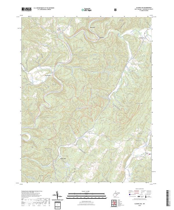
2023 Clover Lick
Pocahontas County, WV
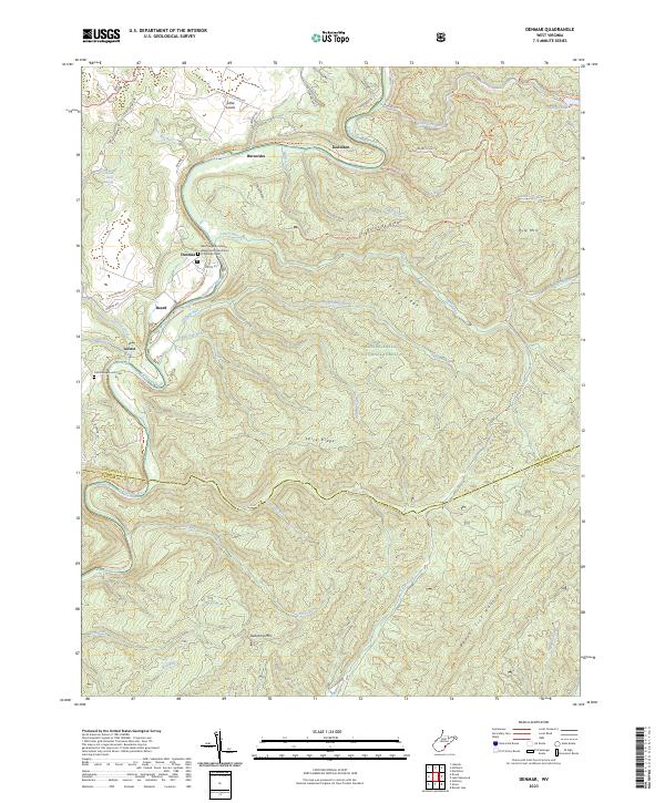
2023 Denmar
Pocahontas County, WV
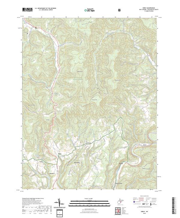
2023 Edray
Pocahontas County, WV
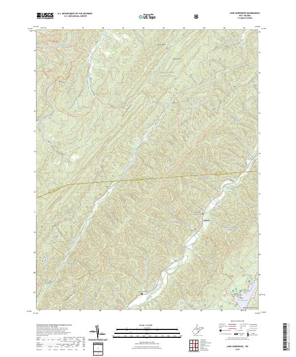
2023 Lake Sherwood
Pocahontas County, WV
2023 Lobelia
Pocahontas County, WV
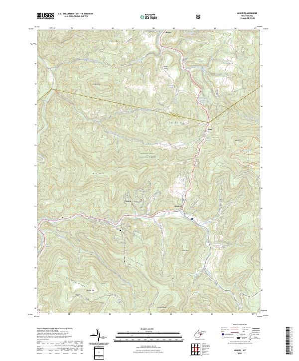
2023 Mingo
Pocahontas County, WV
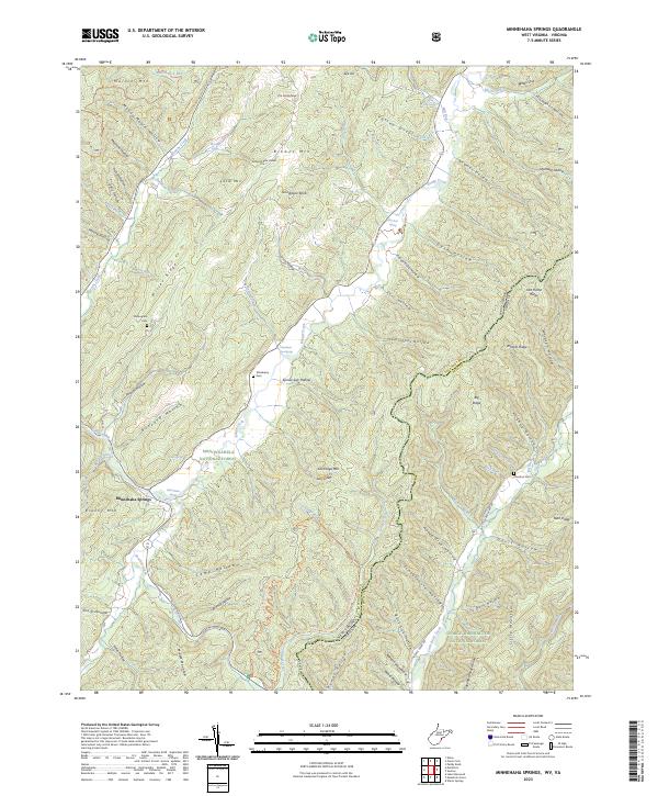
2023 Minnehaha Springs
Pocahontas County, WV
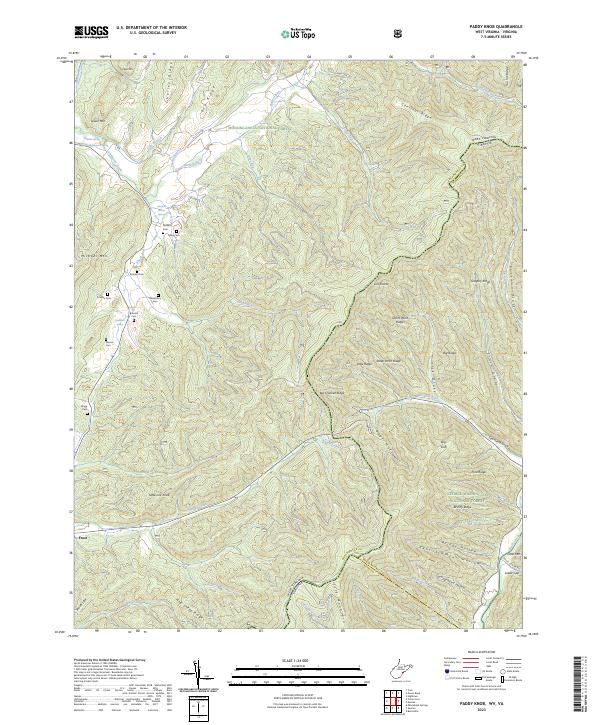
2023 Paddy Knob
Pocahontas County, WV
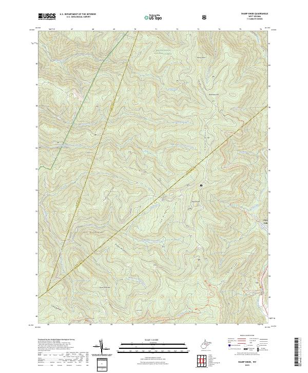
2023 Sharp Knob
Pocahontas County, WV
2023 Thornwood
Pocahontas County, WV
2023 Webster Springs SE
Pocahontas County, WV
2023 Woodrow
Pocahontas County, WV