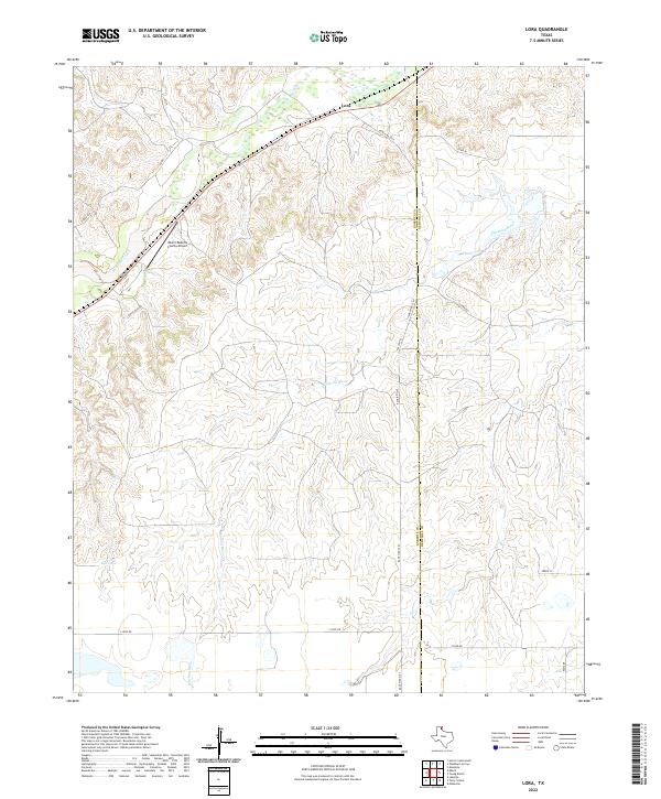
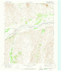
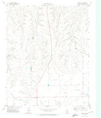
2022 Map of Lora
USGS Topo · Published 2022This historical map portrays the area of Lora in 2022, primarily covering Roberts County as well as portions of Hemphill County. Featuring a scale of 1:24000, this map provides a highly detailed snapshot of the terrain, roads, buildings, counties, and historical landmarks in the Lora region at the time. Published in 2022, it is the sole known edition of this map.
Map Details
Editions of this 2022 Lora Map
This is the sole edition of this map. No revisions or reprints were ever made.
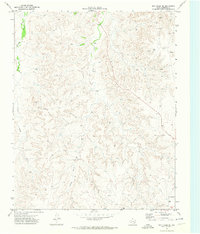
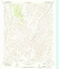
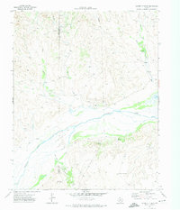
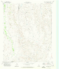
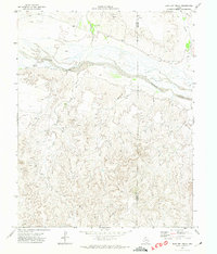
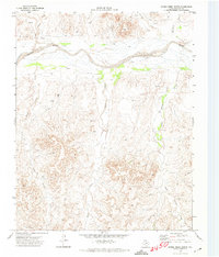
Historical Maps of Hemphill County Through Time
28 maps found
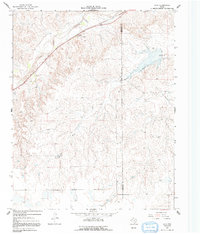
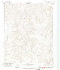
1967 Lora
Roberts County, TX
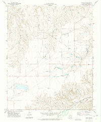
1971 Adobe Creek SE
Roberts County, TX
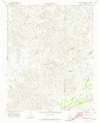
1971 Dry Creek NE
Roberts County, TX
1971 Dry Creek North
Roberts County, TX
1971 Dry Creek SE
Roberts County, TX
1971 Dry Creek South
Roberts County, TX
1971 Garden Springs
Roberts County, TX
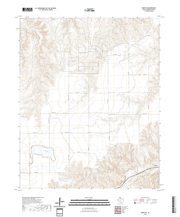
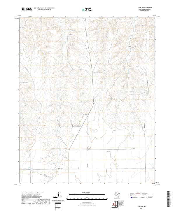
1971 Pampa NW
Roberts County, TX
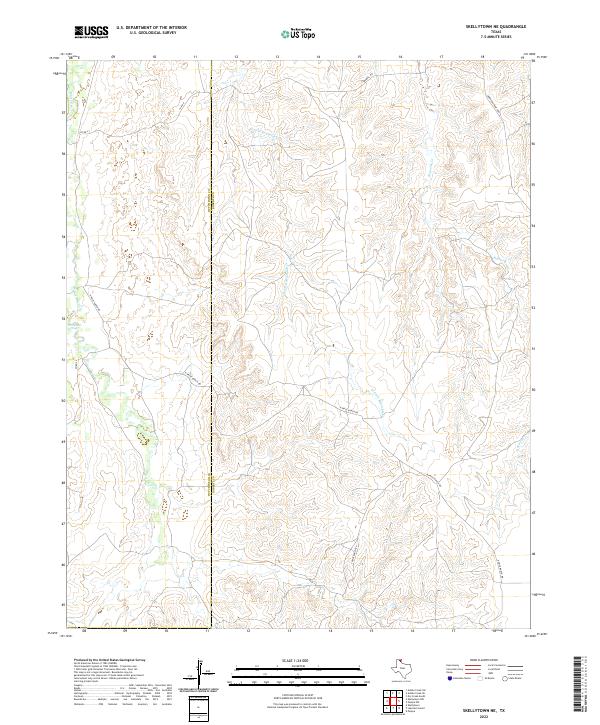
1971 Skellytown NE
Roberts County, TX
1972 East Dry Creek
Roberts County, TX
1972 Horse Creek North
Roberts County, TX
1972 Horse Creek South
Roberts County, TX
1972 Pampa NE
Roberts County, TX
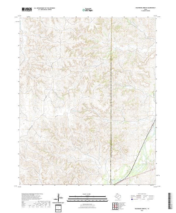
1972 Washburn Arroyo
Roberts County, TX

2022 Adobe Creek SE
Roberts County, TX
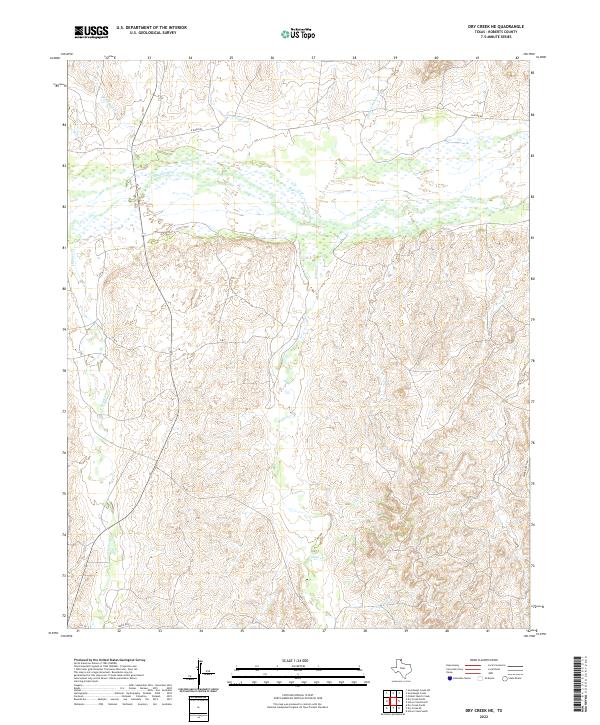
2022 Dry Creek NE
Roberts County, TX
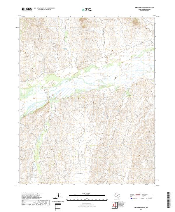
2022 Dry Creek North
Roberts County, TX
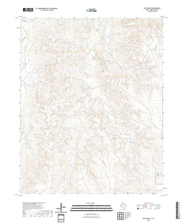
2022 Dry Creek SE
Roberts County, TX
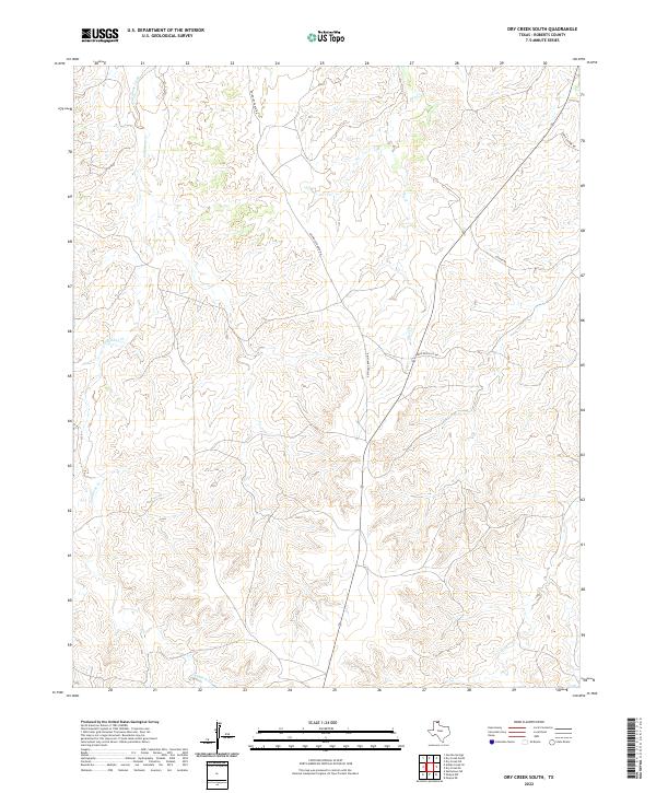
2022 Dry Creek South
Roberts County, TX
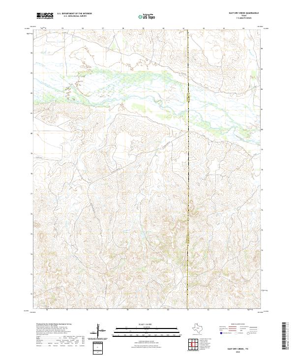
2022 East Dry Creek
Roberts County, TX
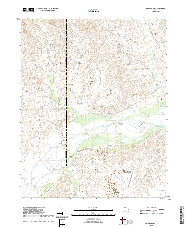
2022 Garden Springs
Roberts County, TX
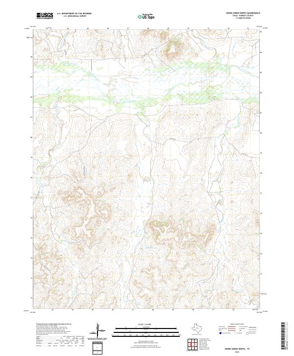
2022 Horse Creek North
Roberts County, TX
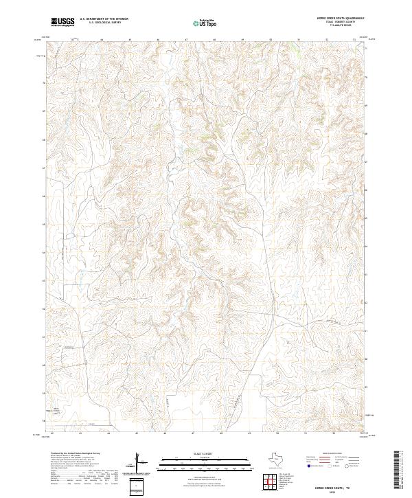
2022 Horse Creek South
Roberts County, TX
2022 Lora
Roberts County, TX
2022 Pampa NE
Roberts County, TX
2022 Pampa NW
Roberts County, TX
2022 Skellytown NE
Roberts County, TX
2022 Washburn Arroyo
Roberts County, TX