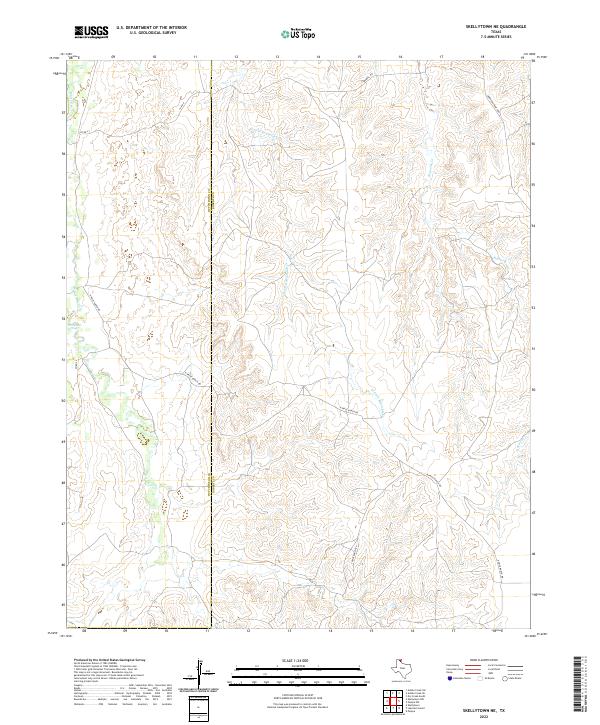
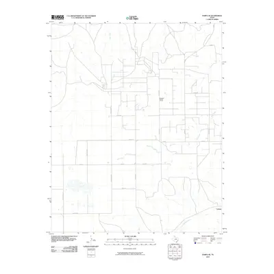
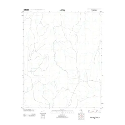
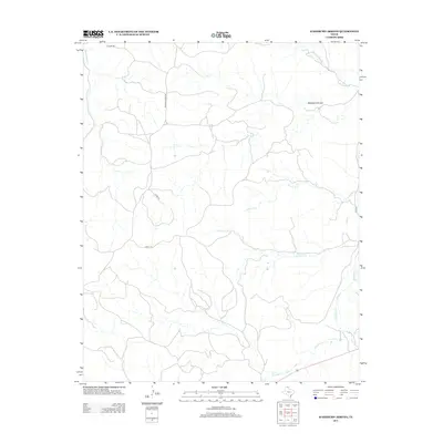
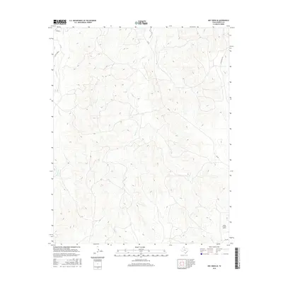
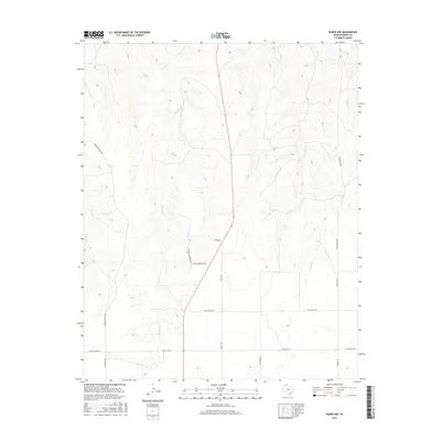
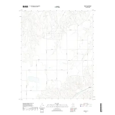
2022 Map of Skellytown NE
USGS Topo · Published 2022About this map
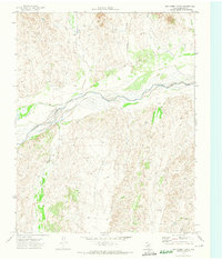
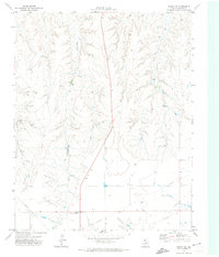
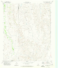
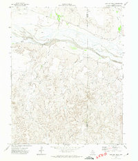
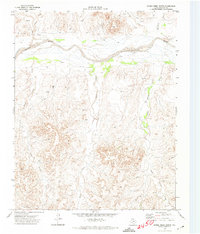
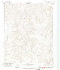
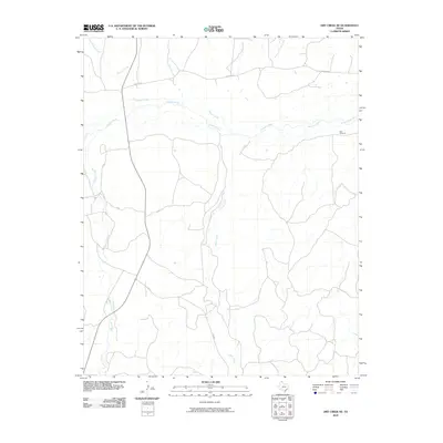
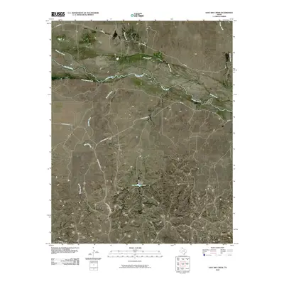
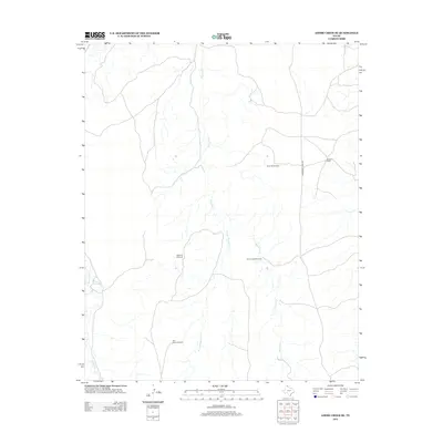
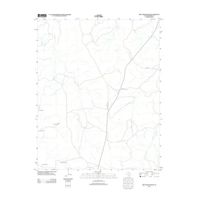
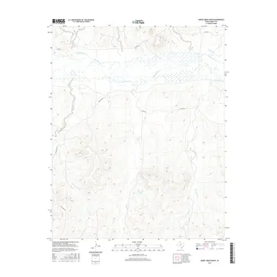
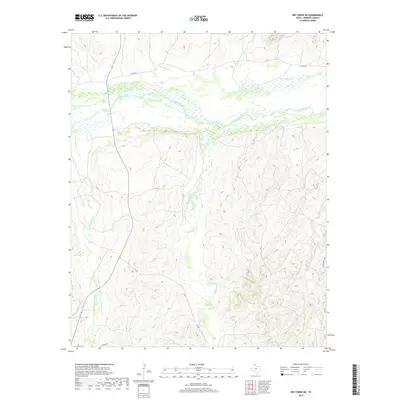
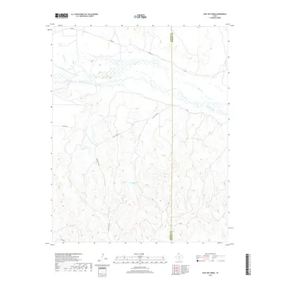
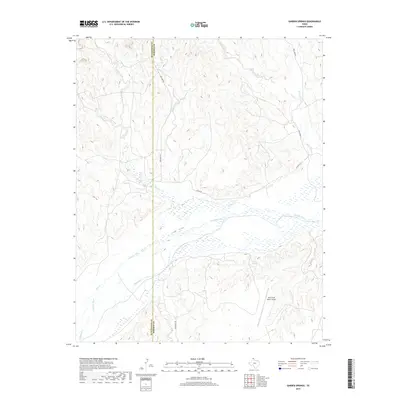
White Deer Springs and the headwaters of White Deer Cr define the western portion of this Panhandle landscape along the border of Hutchinson and Roberts counties. The terrain is characterized by a dense network of seasonal drainage channels, including W Fork Reynolds Cr and Reynolds Cr, which have carved deep patterns into the high plains. This 2022 survey reveals a geography dominated by large-scale ranching operations, marked by private infrastructure like N Price Ranch Rd, S Price Ranch Rd, and Morrison Ranch Rd. The absence of dense townsites highlights the rural, open-range character of this region, where the primary human footprint consists of a sparse grid of county roads such as Co Rd X and Co Rd 29 crossing the high Texas prairie.
Find a feature on this map
11 named features on this map. Tap any name to fly to it.
Don’t see what you’re looking for? This feature index may not catch every label — zoom into the map to look around manually.
Map Details
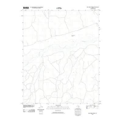
Editions of this 2022 Skellytown NE Map
This is the sole edition of this map. No revisions or reprints were ever made.
Historical Maps of Hutchinson County Through Time
84 maps found
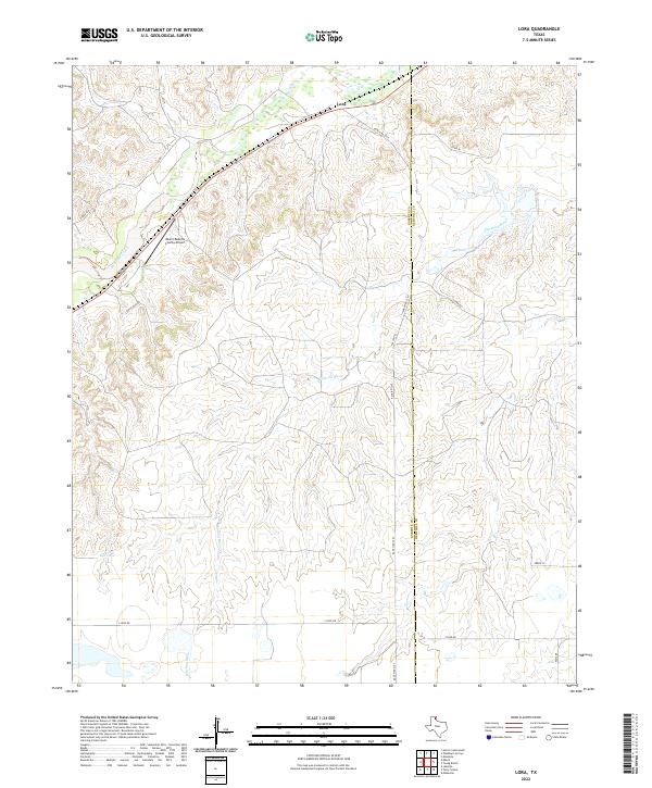
1967 Lora
Roberts County, TX
1971 Adobe Creek SE
Roberts County, TX
1971 Dry Creek NE
Roberts County, TX
1971 Dry Creek North
Roberts County, TX
1971 Dry Creek SE
Roberts County, TX
1971 Dry Creek South
Roberts County, TX
1971 Garden Springs
Roberts County, TX
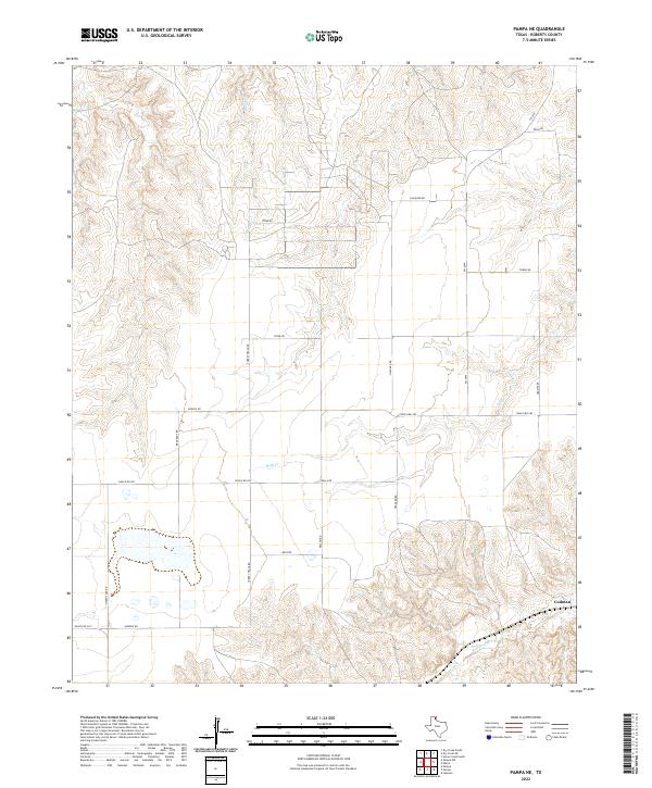
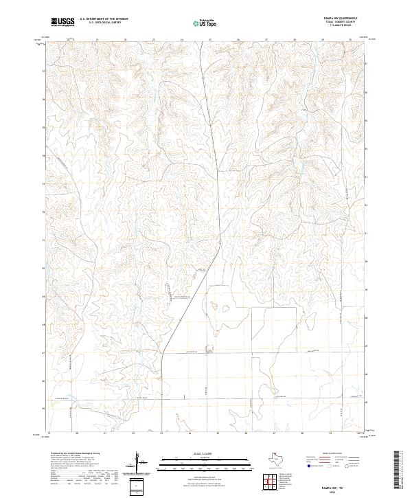
1971 Pampa NW
Roberts County, TX
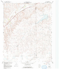
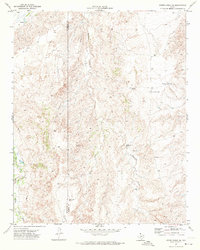
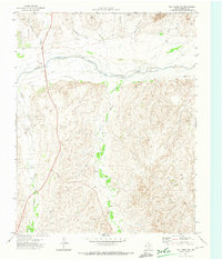
1971 Skellytown NE
Roberts County, TX
1972 East Dry Creek
Roberts County, TX
1972 Horse Creek North
Roberts County, TX
1972 Horse Creek South
Roberts County, TX
1972 Pampa NE
Roberts County, TX
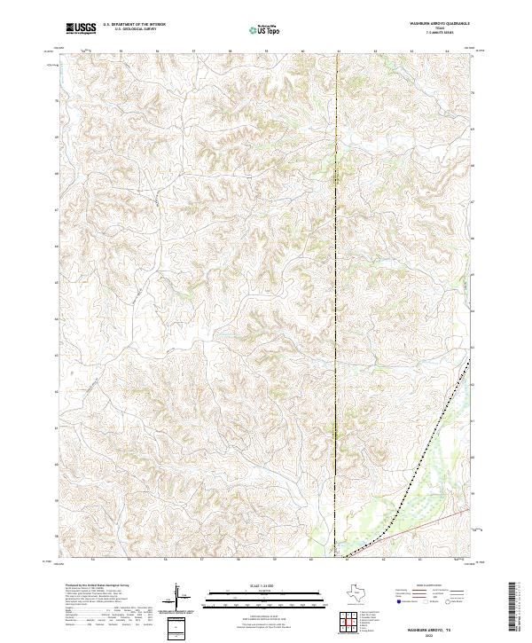
1972 Washburn Arroyo
Roberts County, TX
2010 Adobe Creek SE
Roberts County, TX
2010 Dry Creek NE
Roberts County, TX
2010 Dry Creek North
Roberts County, TX
2010 Dry Creek SE
Roberts County, TX
2010 Dry Creek South
Roberts County, TX
2010 East Dry Creek
Roberts County, TX
2010 Garden Springs
Roberts County, TX

2010 Horse Creek North
Roberts County, TX
2010 Horse Creek South
Roberts County, TX
2010 Lora
Roberts County, TX
2010 Pampa NE
Roberts County, TX
2010 Pampa NW
Roberts County, TX
2010 Skellytown NE
Roberts County, TX
2010 Washburn Arroyo
Roberts County, TX
2012 Adobe Creek SE
Roberts County, TX
2012 Dry Creek NE
Roberts County, TX
2012 Dry Creek North
Roberts County, TX
2012 Dry Creek SE
Roberts County, TX
2012 Dry Creek South
Roberts County, TX
2012 East Dry Creek
Roberts County, TX
2012 Garden Springs
Roberts County, TX
2012 Horse Creek North
Roberts County, TX
2012 Horse Creek South
Roberts County, TX

2012 Lora
Roberts County, TX
2012 Pampa NE
Roberts County, TX
2012 Pampa NW
Roberts County, TX
2012 Skellytown NE
Roberts County, TX
2012 Washburn Arroyo
Roberts County, TX
2016 Adobe Creek SE
Roberts County, TX
2016 Dry Creek NE
Roberts County, TX
2016 Dry Creek North
Roberts County, TX
2016 Dry Creek SE
Roberts County, TX
2016 Dry Creek South
Roberts County, TX
2016 East Dry Creek
Roberts County, TX
2016 Garden Springs
Roberts County, TX
2016 Horse Creek North
Roberts County, TX
2016 Horse Creek South
Roberts County, TX
2016 Lora
Roberts County, TX
2016 Pampa NE
Roberts County, TX
2016 Pampa NW
Roberts County, TX
2016 Skellytown NE
Roberts County, TX
2016 Washburn Arroyo
Roberts County, TX
2019 Adobe Creek SE
Roberts County, TX
2019 Dry Creek NE
Roberts County, TX
2019 Dry Creek North
Roberts County, TX
2019 Dry Creek SE
Roberts County, TX
2019 Dry Creek South
Roberts County, TX
2019 East Dry Creek
Roberts County, TX
2019 Garden Springs
Roberts County, TX
2019 Horse Creek North
Roberts County, TX
2019 Horse Creek South
Roberts County, TX

2019 Lora
Roberts County, TX
2019 Pampa NE
Roberts County, TX
2019 Pampa NW
Roberts County, TX
2019 Skellytown NE
Roberts County, TX
2019 Washburn Arroyo
Roberts County, TX

2022 Adobe Creek SE
Roberts County, TX
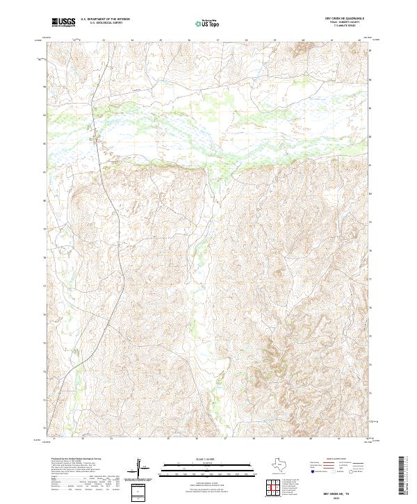
2022 Dry Creek NE
Roberts County, TX
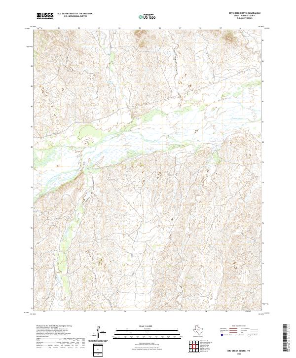
2022 Dry Creek North
Roberts County, TX
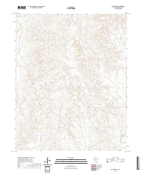
2022 Dry Creek SE
Roberts County, TX
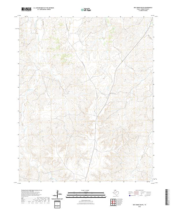
2022 Dry Creek South
Roberts County, TX
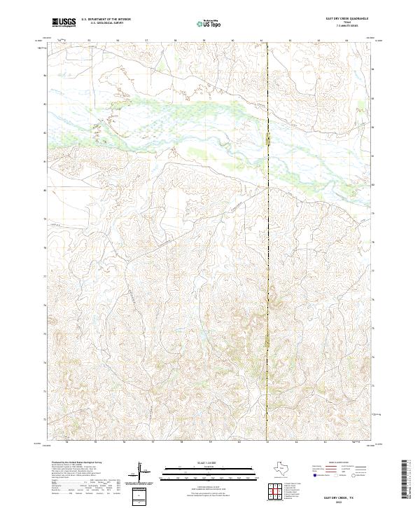
2022 East Dry Creek
Roberts County, TX
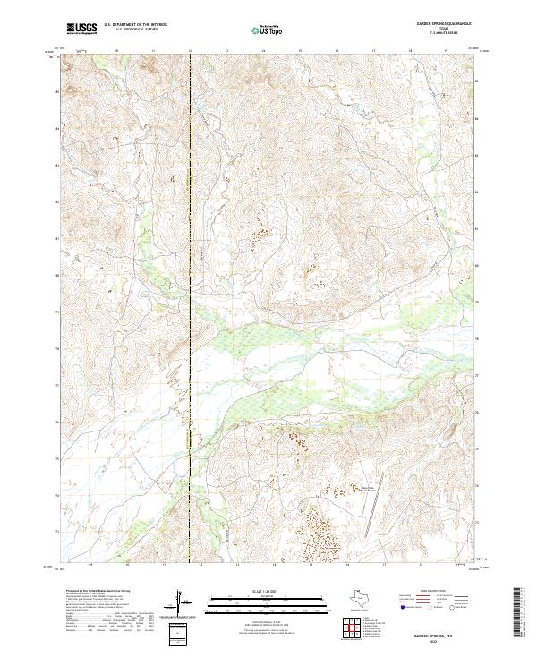
2022 Garden Springs
Roberts County, TX
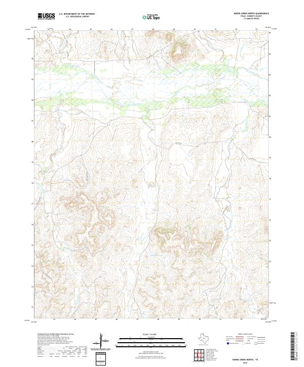
2022 Horse Creek North
Roberts County, TX
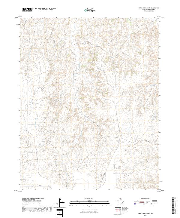
2022 Horse Creek South
Roberts County, TX
2022 Lora
Roberts County, TX
2022 Pampa NE
Roberts County, TX
2022 Pampa NW
Roberts County, TX
2022 Skellytown NE
Roberts County, TX
2022 Washburn Arroyo
Roberts County, TX