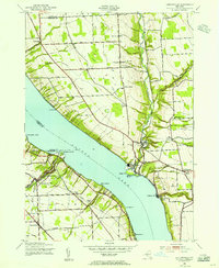
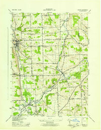
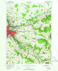
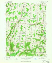
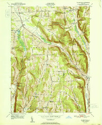
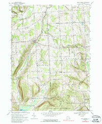
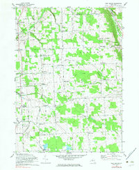
1942 Map of Ludlowville
USGS Topo · Published 1956This historical map portrays the area of Ludlowville in 1942, primarily covering Tompkins County as well as portions of Seneca County and Cayuga County. Featuring a scale of 1:24000, this map provides a highly detailed snapshot of the terrain, roads, buildings, counties, and historical landmarks in the Ludlowville region at the time. Published in 1956, it is one of 3 known editions of this map due to revisions or reprints.
Find a feature on this map
58 named features on this map. Tap any name to fly to it.
Don’t see what you’re looking for? This feature index may not catch every label — zoom into the map to look around manually.
Map Details
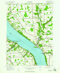
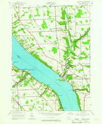
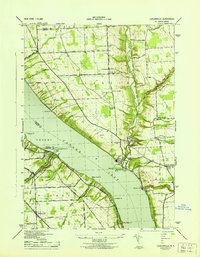
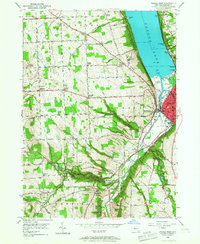
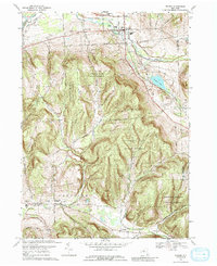
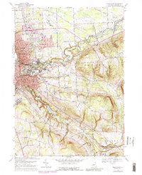
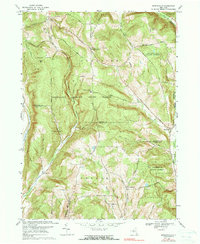
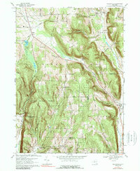
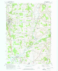
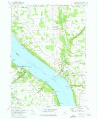
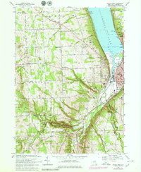
Editions of this 1942 Ludlowville Map
3 editions found
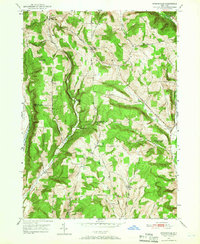
Historical Maps of Lansing Through Time
26 maps found

1900 Dryden
Tompkins County, NY
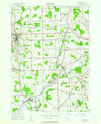
1942 Groton
Tompkins County, NY
1942 Ludlowville
Tompkins County, NY
1943 Groton
Tompkins County, NY
1943 Ludlowville
Tompkins County, NY
1943 West Groton
Tompkins County, NY
1949 Dryden
Tompkins County, NY
1949 Ithaca East
Tompkins County, NY
1949 Ithaca West
Tompkins County, NY
1949 Speedsville
Tompkins County, NY
1949 Willseyville
Tompkins County, NY
1950 Mecklenburg
Tompkins County, NY
1951 Dryden
Tompkins County, NY
1951 Ithaca East
Tompkins County, NY
1951 Speedsville
Tompkins County, NY
1951 Willseyville
Tompkins County, NY
1969 Dryden
Tompkins County, NY
1969 Ithaca East
Tompkins County, NY
1969 Ithaca West
Tompkins County, NY
1969 Mecklenburg
Tompkins County, NY
1969 Speedsville
Tompkins County, NY
1969 Willseyville
Tompkins County, NY
1970 Groton
Tompkins County, NY
1970 West Groton
Tompkins County, NY
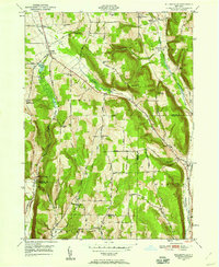
1971 Ludlowville
Tompkins County, NY
1978 Ithaca West
Tompkins County, NY