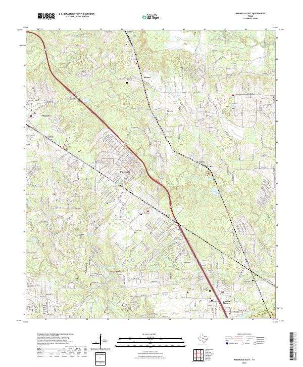
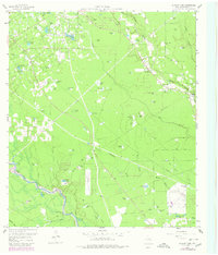
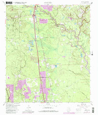
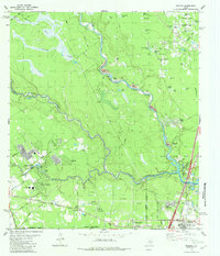
2022 Map of Magnolia East
USGS Topo · Published 2022About this map
Magnolia and its eastern surroundings in Montgomery County are defined by a dense network of residential developments and small community centers. The landscape is punctuated by numerous local burial sites, such as Piney Grove Cem and Tillis Prairie Cem, which provide critical touchpoints for genealogical research. The topography around Magnolia Hills is shaped by the drainages of Mill Cr and Decker Br, where several small impoundments like Lake Cecil and Lake Hollow have been established.
Find a feature on this map
285 named features on this map. Tap any name to fly to it.
Don’t see what you’re looking for? This feature index may not catch every label — zoom into the map to look around manually.
Map Details
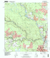
Editions of this 2022 Magnolia East Map
This is the sole edition of this map. No revisions or reprints were ever made.
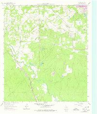
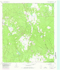
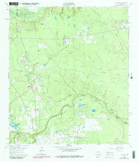
Historical Maps of Decker Prairie Through Time
28 maps found
1919 Weeden
Montgomery County, TX
1958 Cowl Spur
Montgomery County, TX
1958 Fostoria
Montgomery County, TX
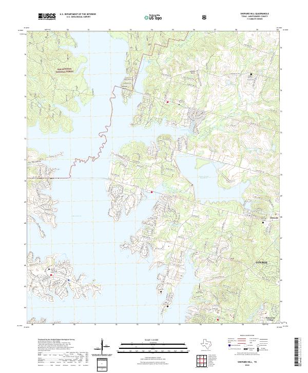
1958 Shepard Hill
Montgomery County, TX
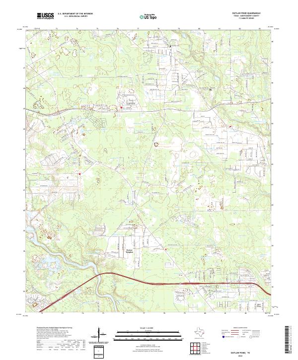
1959 Outlaw Pond
Montgomery County, TX
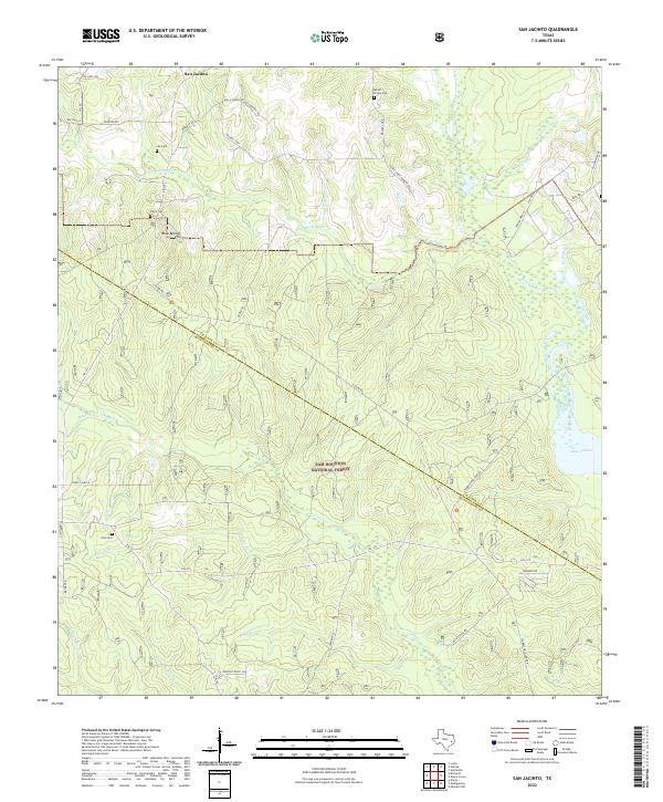
1959 San Jacinto
Montgomery County, TX
1961 Maedan
Montgomery County, TX
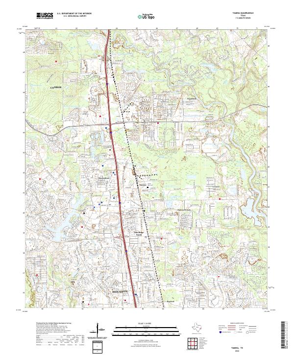
1961 Tamina
Montgomery County, TX
1962 Keenan
Montgomery County, TX
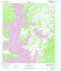
1962 Magnolia East
Montgomery County, TX
1962 Oklahoma
Montgomery County, TX
1982 Maedan
Montgomery County, TX
1995 Maedan
Montgomery County, TX
1997 Cut And Shoot
Montgomery County, TX
1997 Fostoria
Montgomery County, TX
1997 San Jacinto
Montgomery County, TX
1997 Shepard Hill
Montgomery County, TX
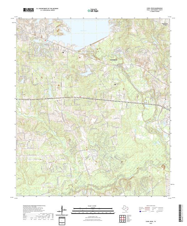
2022 Cowl Spur
Montgomery County, TX
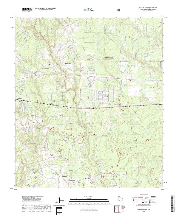
2022 Cut And Shoot
Montgomery County, TX
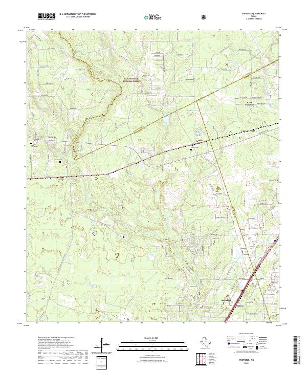
2022 Fostoria
Montgomery County, TX
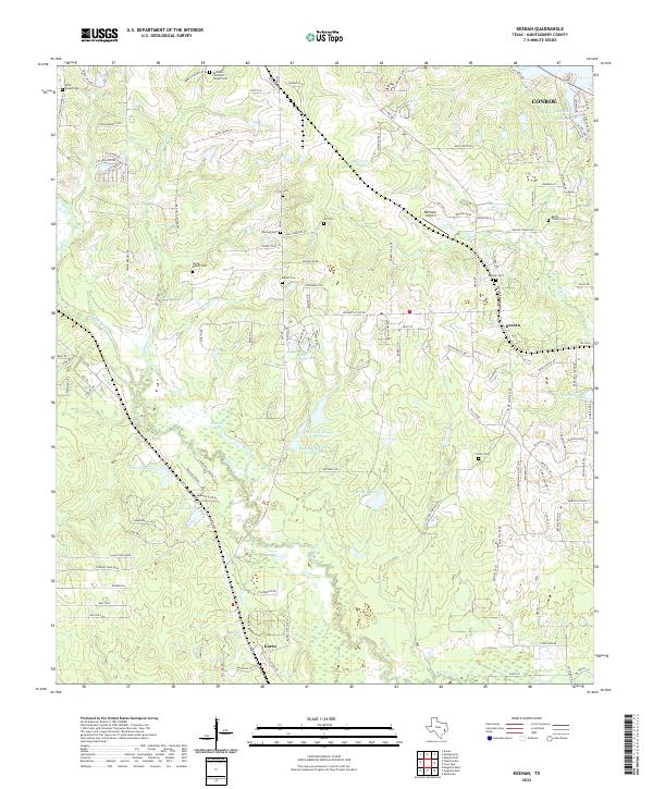
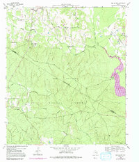
2022 Keenan
Montgomery County, TX
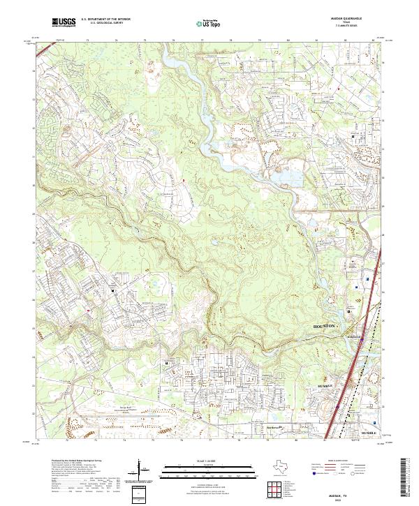
2022 Maedan
Montgomery County, TX
2022 Magnolia East
Montgomery County, TX
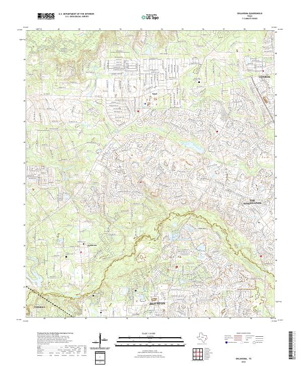
2022 Oklahoma
Montgomery County, TX
2022 Outlaw Pond
Montgomery County, TX
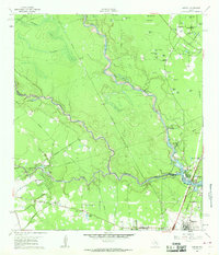
2022 San Jacinto
Montgomery County, TX
2022 Shepard Hill
Montgomery County, TX
2022 Tamina
Montgomery County, TX