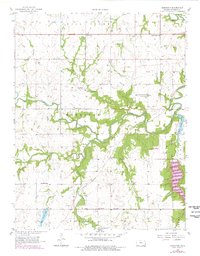
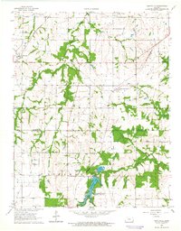
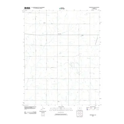
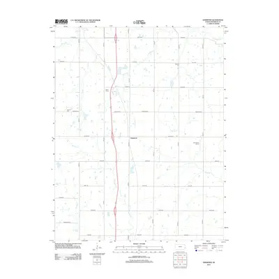
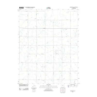
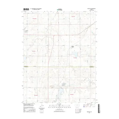
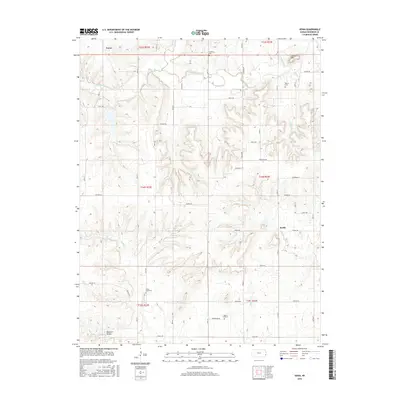
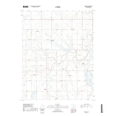
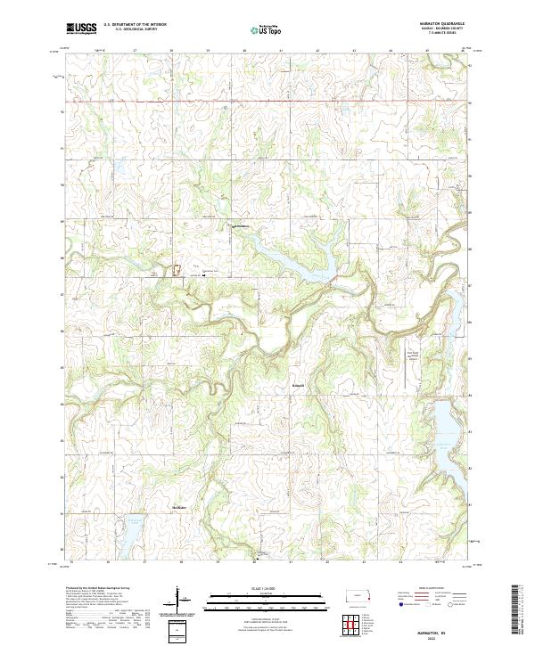
1958 Map of Marmaton
USGS Topo · Published 1978About this map
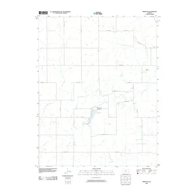
Marmaton River flows across this landscape, carved by a network of drainage including Paint Creek, Pawnee Creek, and Mill Creek. The settlement of Marmaton sits near an Old Railroad Grade, reflecting the changing transportation infrastructure of Bourbon County by the late 1950s. Rural life is anchored by a significant number of community institutions, such as Bethel Sch, West Plains Sch, and Union Bend Sch, along with the Marmaton Cem.
Find a feature on this map
31 named features on this map. Tap any name to fly to it.
Don’t see what you’re looking for? This feature index may not catch every label — zoom into the map to look around manually.
Map Details
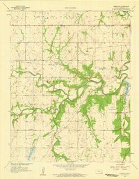
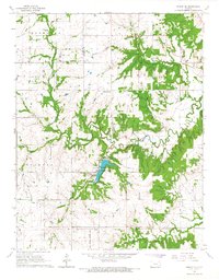
Editions of this 1958 Marmaton Map
2 editions found
Historical Maps of Marmaton Through Time
42 maps found
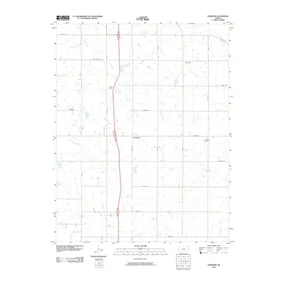
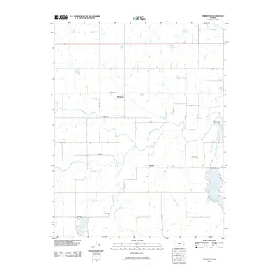
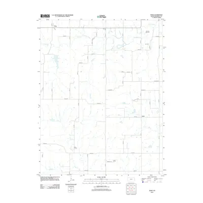
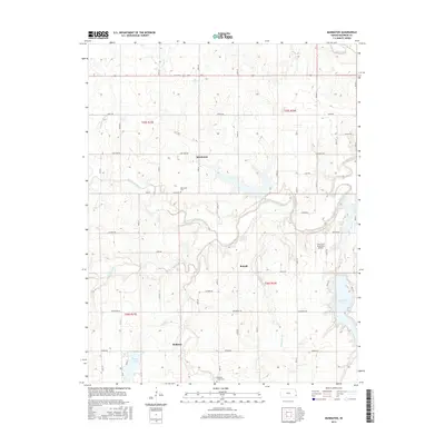
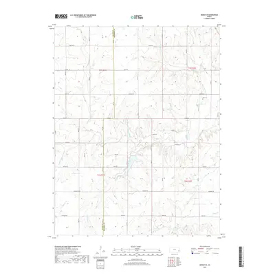
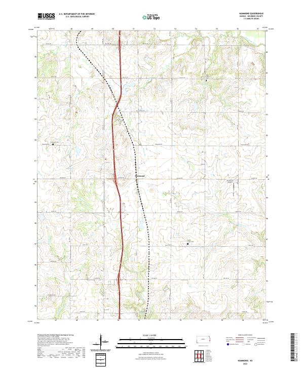
1958 Hammond
Bourbon County, KS
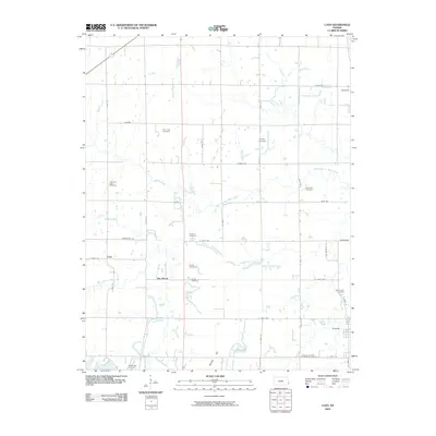
1958 Marmaton
Bourbon County, KS
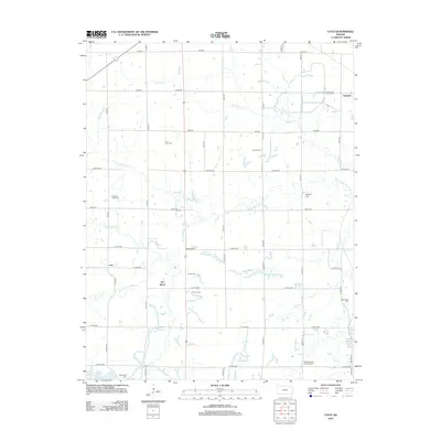
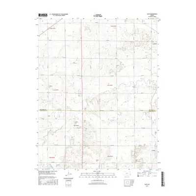
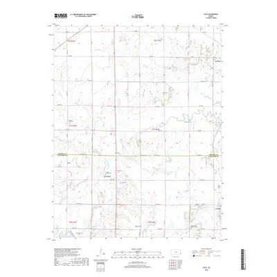
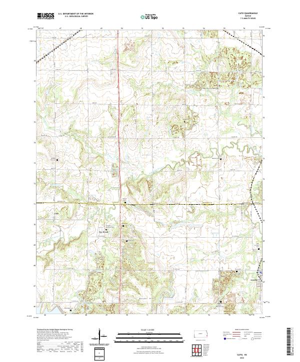
1959 Cato
Bourbon County, KS
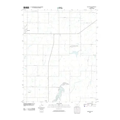
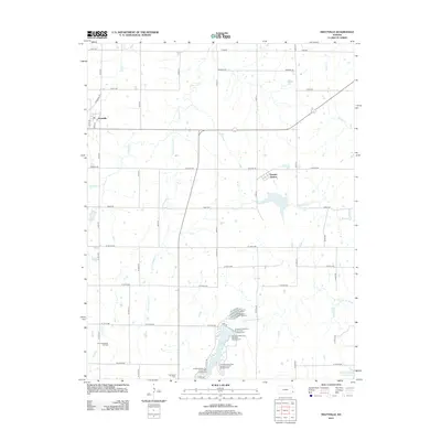
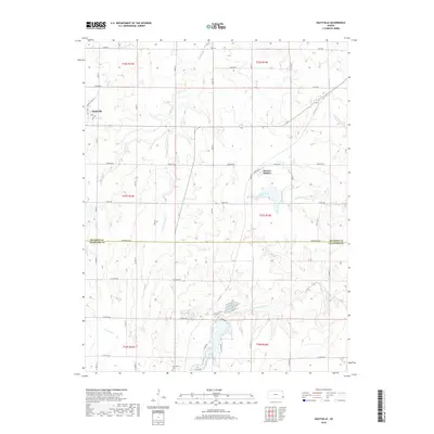
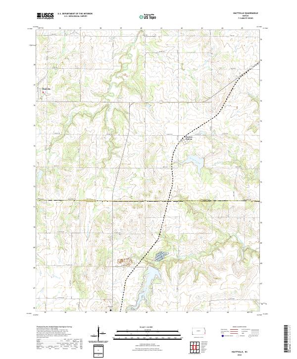
1964 Hiattville
Bourbon County, KS
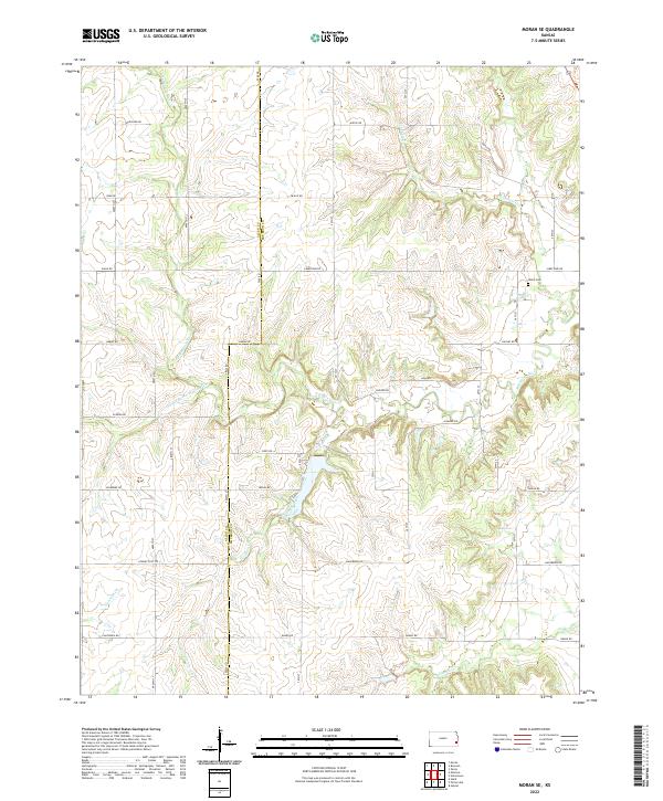
1966 Moran SE
Bourbon County, KS
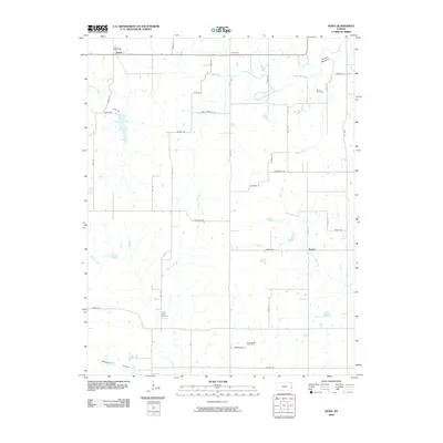
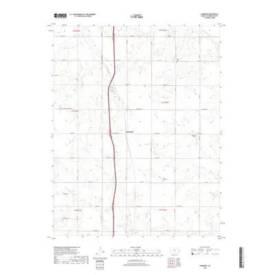
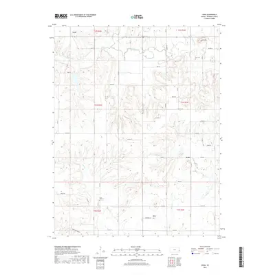
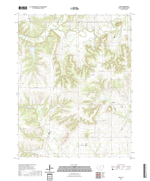
1966 Xenia
Bourbon County, KS
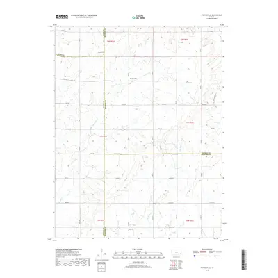
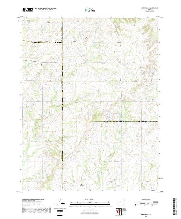
1973 Porterville
Bourbon County, KS
2009 Cato
Bourbon County, KS
2009 Hammond
Bourbon County, KS
2009 Hiattville
Bourbon County, KS
2009 Moran SE
Bourbon County, KS
2009 Porterville
Bourbon County, KS
2009 Xenia
Bourbon County, KS
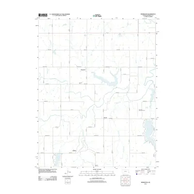
2010 Marmaton
Bourbon County, KS
2012 Cato
Bourbon County, KS
2012 Hammond
Bourbon County, KS
2012 Hiattville
Bourbon County, KS
2012 Marmaton
Bourbon County, KS
2012 Moran SE
Bourbon County, KS
2012 Porterville
Bourbon County, KS
2012 Xenia
Bourbon County, KS
2015 Cato
Bourbon County, KS
2015 Hammond
Bourbon County, KS
2015 Hiattville
Bourbon County, KS
2015 Marmaton
Bourbon County, KS
2015 Moran SE
Bourbon County, KS
2015 Porterville
Bourbon County, KS
2015 Xenia
Bourbon County, KS
2018 Cato
Bourbon County, KS
2018 Hammond
Bourbon County, KS
2018 Hiattville
Bourbon County, KS
2018 Marmaton
Bourbon County, KS
2018 Moran SE
Bourbon County, KS
2018 Porterville
Bourbon County, KS
2018 Xenia
Bourbon County, KS
2022 Cato
Bourbon County, KS
2022 Hammond
Bourbon County, KS
2022 Hiattville
Bourbon County, KS
2022 Marmaton
Bourbon County, KS
2022 Moran SE
Bourbon County, KS
2022 Porterville
Bourbon County, KS
2022 Xenia
Bourbon County, KS