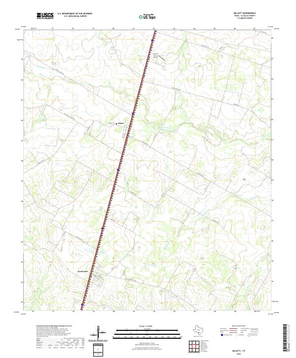
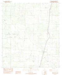
2022 Map of Millett
USGS Topo · Published 2022About this map
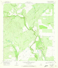
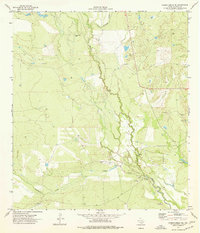
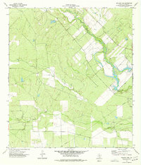
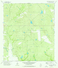
Millett and the surrounding rangeland of La Salle County dominate this South Texas landscape, defined by ephemeral waterways and scattered ranching hubs. The community is anchored by the Millett Cem, a vital point of interest for local genealogy, while the neighboring settlement of Gardendale sits further south along the primary transportation corridor. Historically, this area relied heavily on the rail network, evidenced here by the Old Sausage RR Line cutting through the brush country. The terrain is deeply grooved by a series of drainage systems, including Cibolo Cr and Slaughter Cr, which shape the local geography and historical land use. Private holdings such as the Burns Ranch and aviation facilities like the Anderson Ranch Airport illustrate the modern intersection of traditional agriculture and regional connectivity in this portion of the Brush Country.
Find a feature on this map
28 named features on this map. Tap any name to fly to it.
Don’t see what you’re looking for? This feature index may not catch every label — zoom into the map to look around manually.
Map Details
Editions of this 2022 Millett Map
This is the sole edition of this map. No revisions or reprints were ever made.
Historical Maps of Millett Through Time
52 maps found
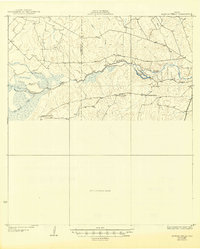
1927 Artesia Wells
La Salle County, TX
1940 Artesia Wells
La Salle County, TX
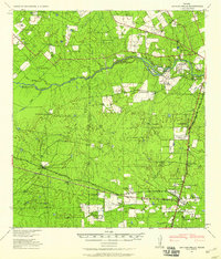
1956 Hindes
La Salle County, TX

1956 Piedra Creek
La Salle County, TX
1956 Woodward
La Salle County, TX
1957 Caiman Creek
La Salle County, TX
1968 Zella
La Salle County, TX
1969 Briscoe Ranch
La Salle County, TX
1969 Cayman Lake
La Salle County, TX
1969 Dull
La Salle County, TX
1969 The White Kitchen
La Salle County, TX
1974 Burns Ranch
La Salle County, TX
1974 Caiman Creek NE
La Salle County, TX
1974 Caiman Creek SE
La Salle County, TX
1974 Charco Marrano Creek
La Salle County, TX
1974 Harris Lake
La Salle County, TX
1974 Holland Dam
La Salle County, TX
1974 Los Angeles
La Salle County, TX
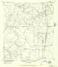
1974 Millett
La Salle County, TX
1974 Piedra Creek NE
La Salle County, TX
1974 Piedra Creek NW
La Salle County, TX
1974 Piedra Creek SE
La Salle County, TX
1974 Piedra Creek SW
La Salle County, TX
1974 Woodward
La Salle County, TX
1982 Artesia Wells
La Salle County, TX
1982 Atlee
La Salle County, TX
1982 Caiman Creek NW
La Salle County, TX
1982 Live Oak Creek
La Salle County, TX
2001 Artesia
La Salle County, TX
2003 Caiman Creek
La Salle County, TX
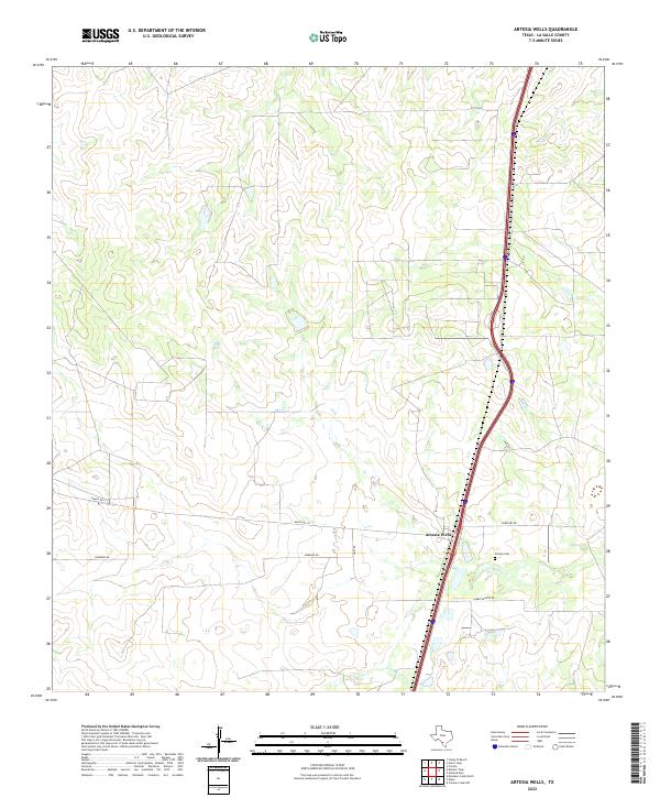
2022 Artesia Wells
La Salle County, TX
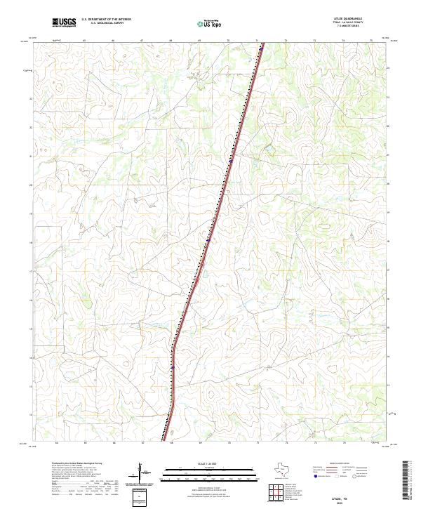
2022 Atlee
La Salle County, TX
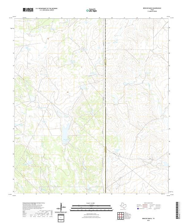
2022 Briscoe Ranch
La Salle County, TX
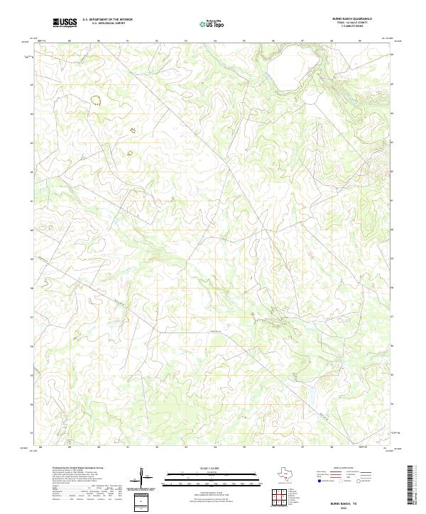
2022 Burns Ranch
La Salle County, TX
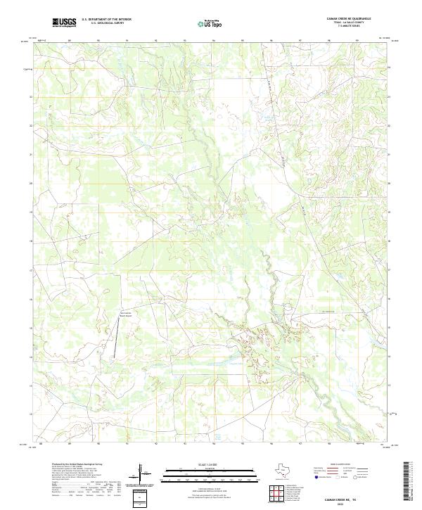
2022 Caiman Creek NE
La Salle County, TX
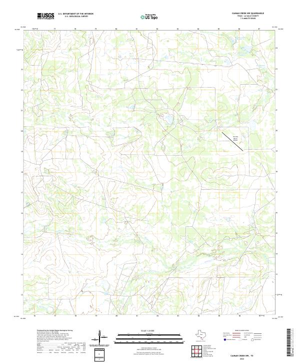
2022 Caiman Creek NW
La Salle County, TX
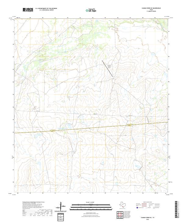
2022 Caiman Creek SE
La Salle County, TX
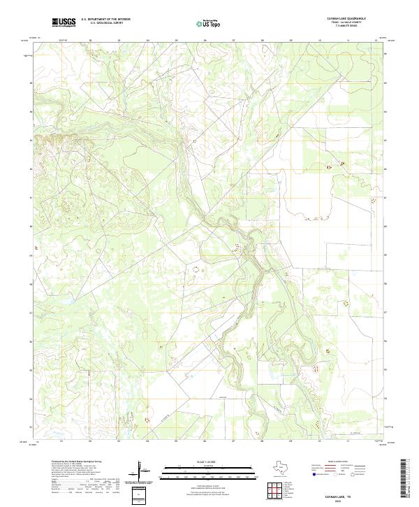
2022 Cayman Lake
La Salle County, TX
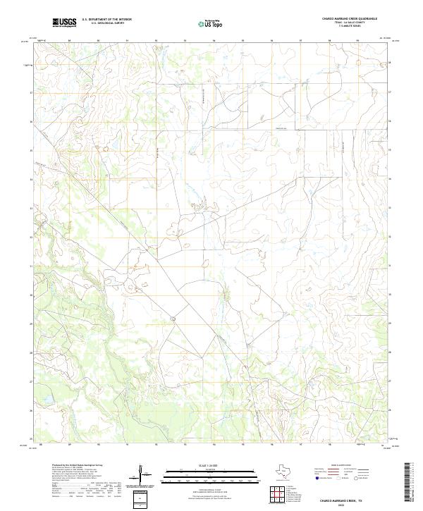
2022 Charco Marrano Creek
La Salle County, TX
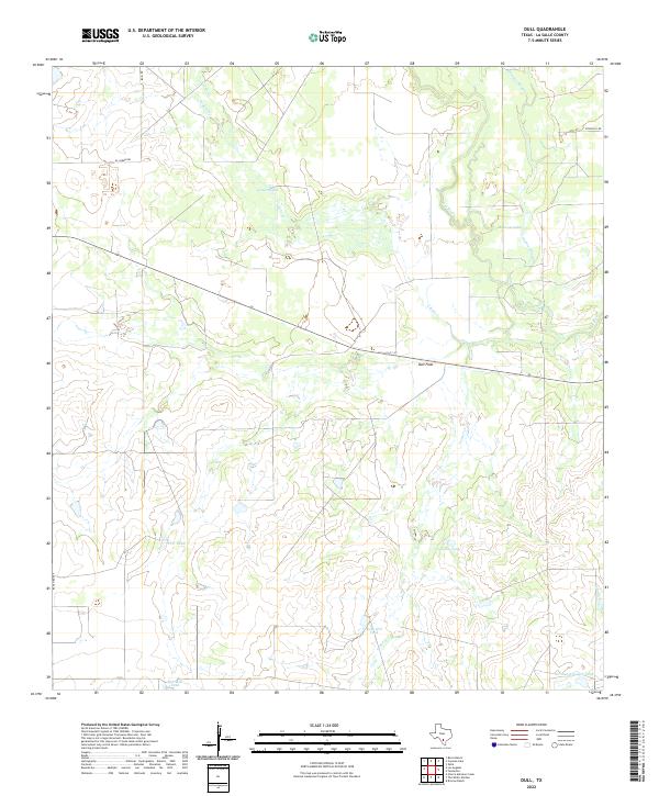
2022 Dull
La Salle County, TX
2022 Harris Lake
La Salle County, TX
2022 Holland Dam
La Salle County, TX
2022 Live Oak Creek
La Salle County, TX
2022 Los Angeles
La Salle County, TX
2022 Millett
La Salle County, TX
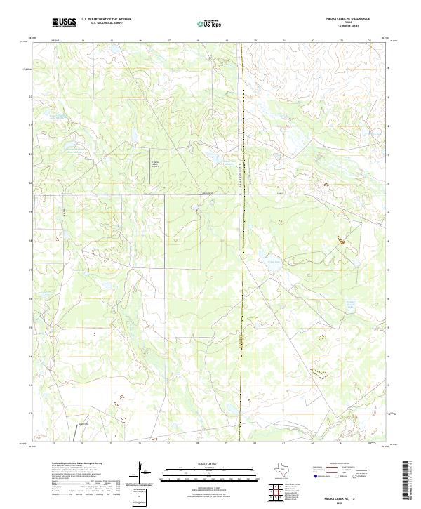
2022 Piedra Creek NE
La Salle County, TX
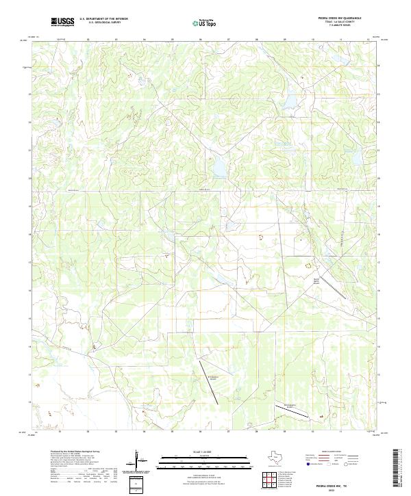
2022 Piedra Creek NW
La Salle County, TX
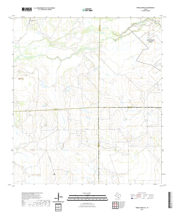
2022 Piedra Creek SE
La Salle County, TX
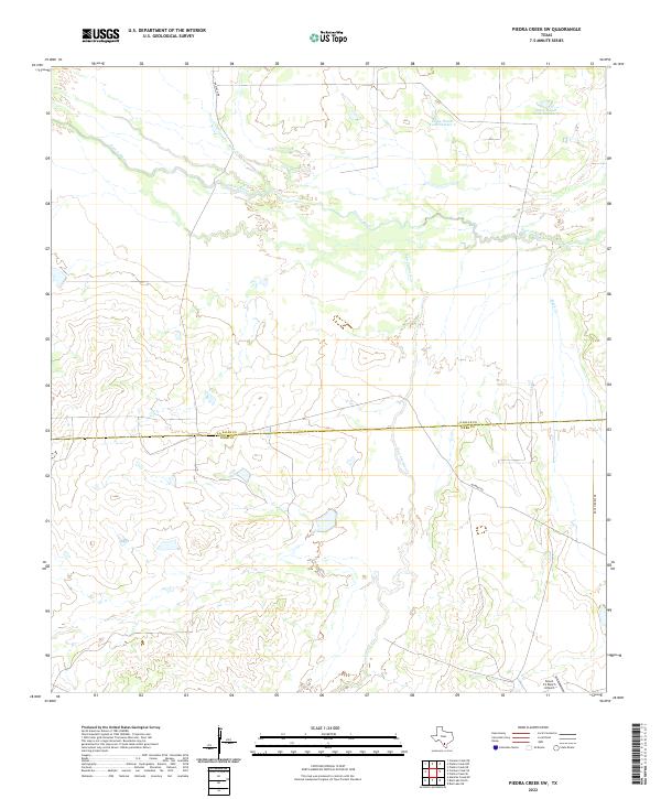
2022 Piedra Creek SW
La Salle County, TX
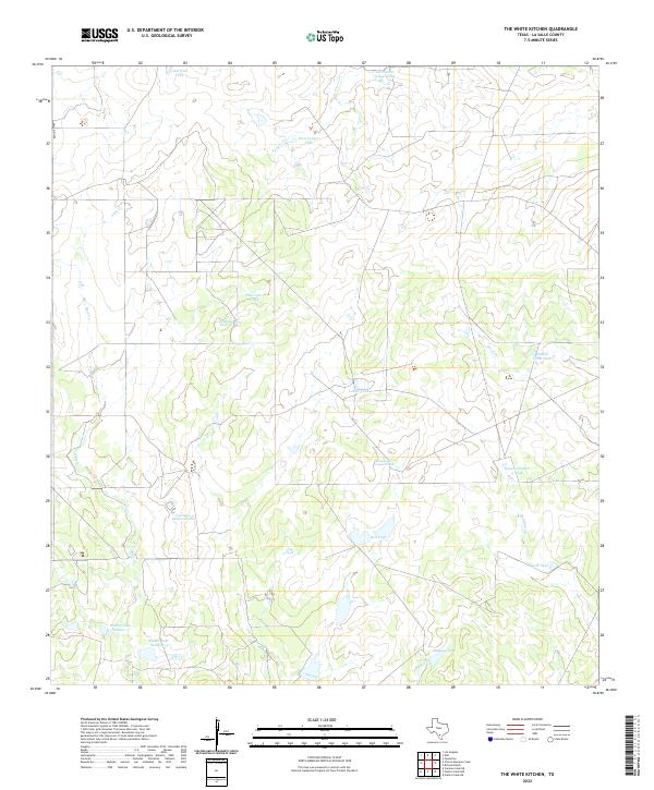
2022 The White Kitchen
La Salle County, TX
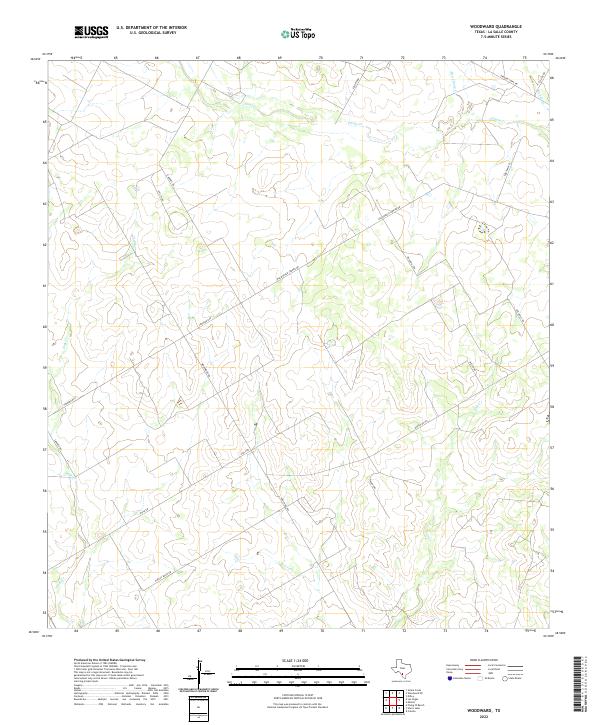
2022 Woodward
La Salle County, TX
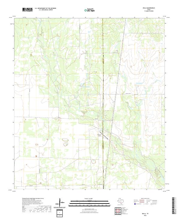
2022 Zella
La Salle County, TX