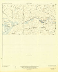
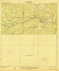
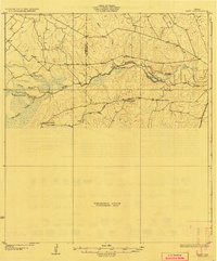
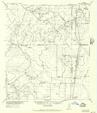
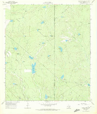
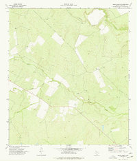
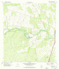
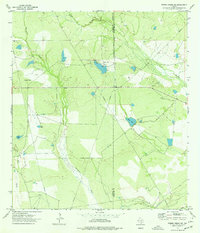
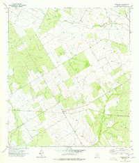
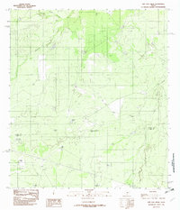
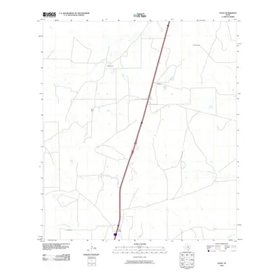
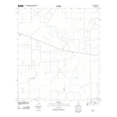
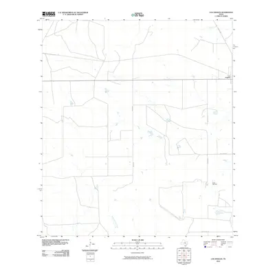
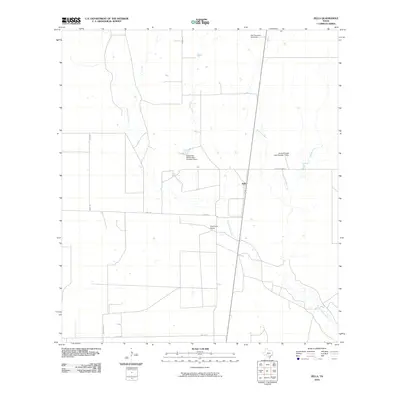
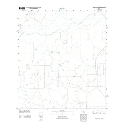
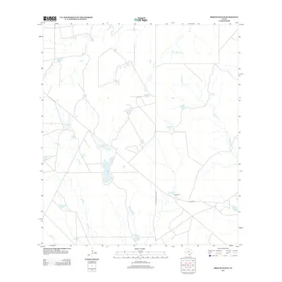
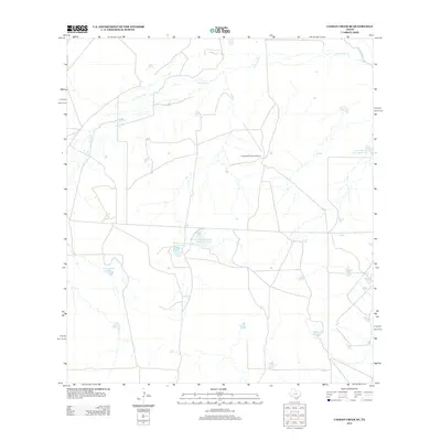
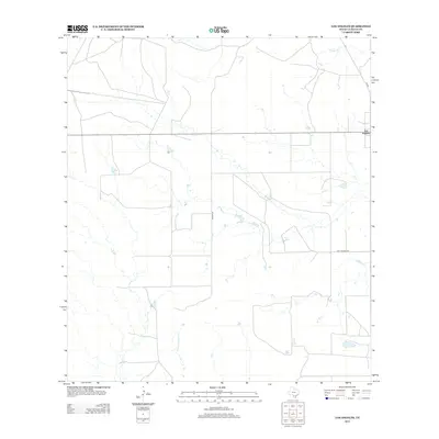
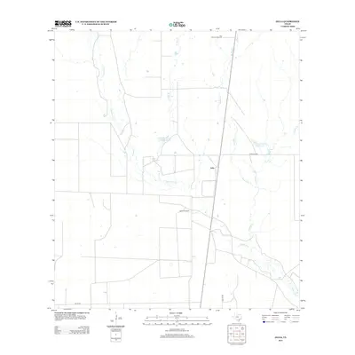
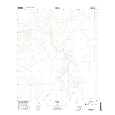
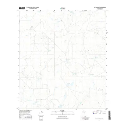
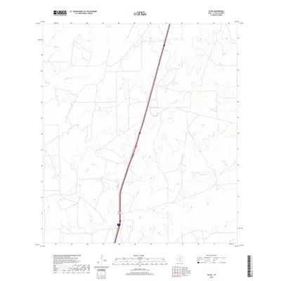
1927 Map of Artesia Wells
USGS Topo · Published 1949About this map
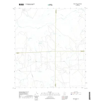
The Nueces River winds through this South Texas landscape, creating a lifeline of lakes and seasonal drainages amidst the brush country. Surveyed in the mid-1920s, the map reveals a ranching economy centered around family-named outposts such as Cochina Ranch, San Roque Ranch, and Wuruberger Ranch. These stations are connected by a network of early transit routes, including Big Wells Road and Kings Road, which navigate the subtle topography between the county line and the river bottom.
Find a feature on this map
17 named features on this map. Tap any name to fly to it.
Don’t see what you’re looking for? This feature index may not catch every label — zoom into the map to look around manually.
Map Details
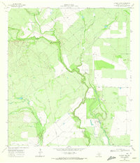
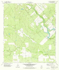
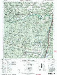
Editions of this 1927 Artesia Wells Map
3 editions found
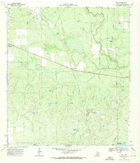
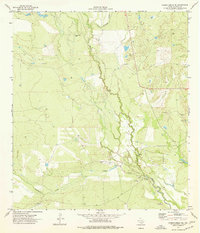
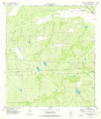
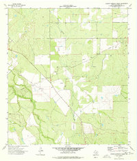
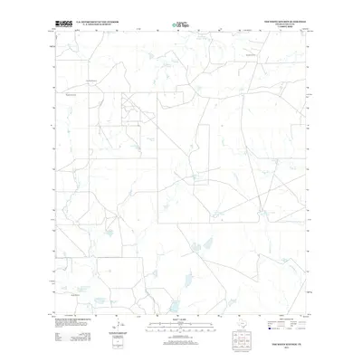
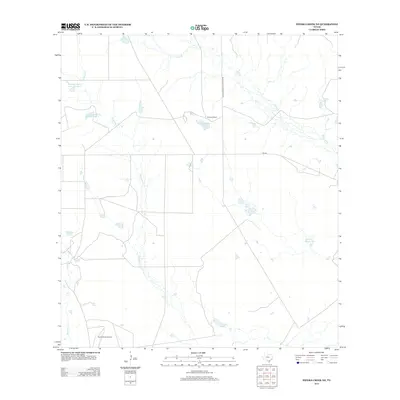
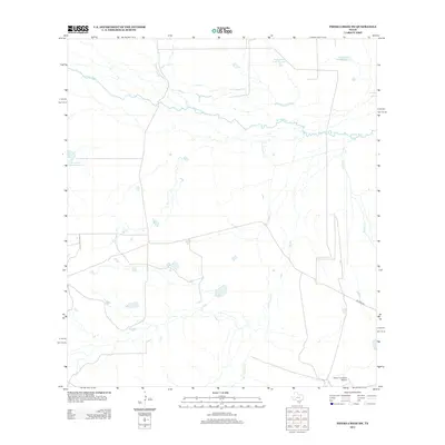
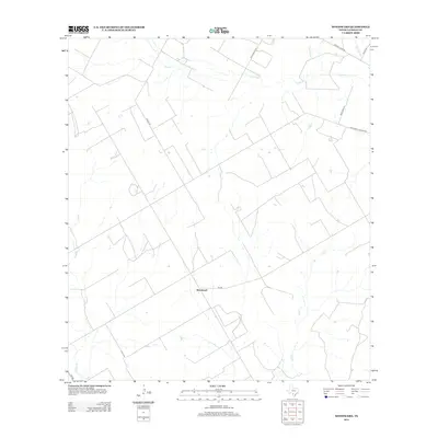
Historical Maps of Cotulla Through Time
140 maps found
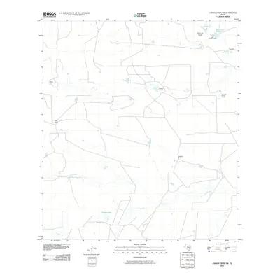
1927 Artesia Wells
La Salle County, TX
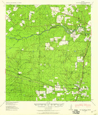
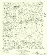
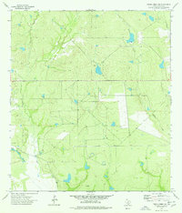
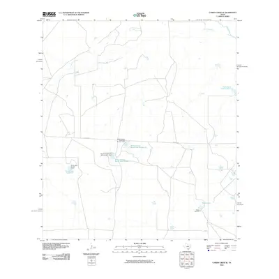
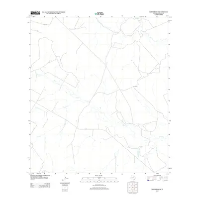
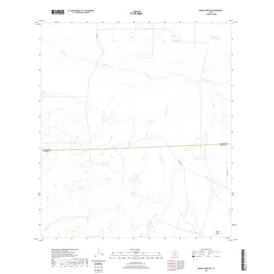
1940 Artesia Wells
La Salle County, TX
1956 Hindes
La Salle County, TX

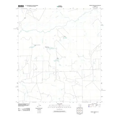
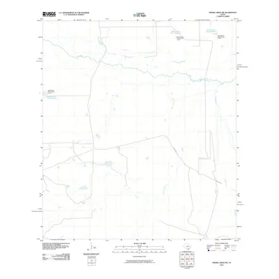
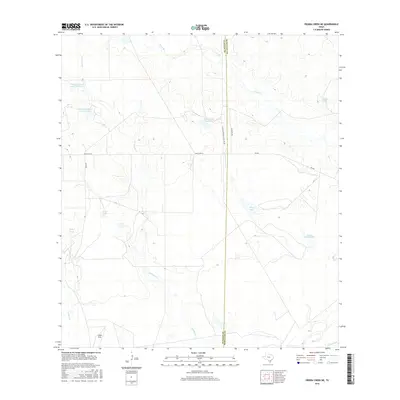
1956 Piedra Creek
La Salle County, TX
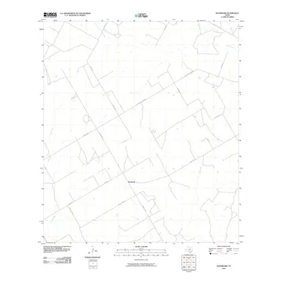
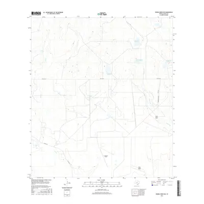
1956 Woodward
La Salle County, TX
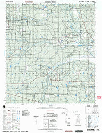
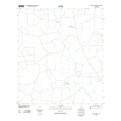
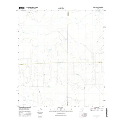
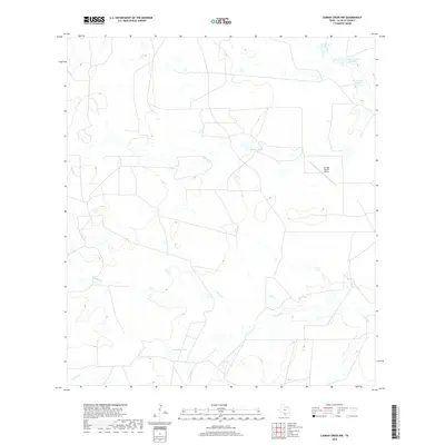
1957 Caiman Creek
La Salle County, TX
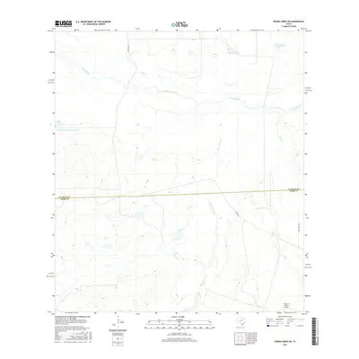
1968 Zella
La Salle County, TX
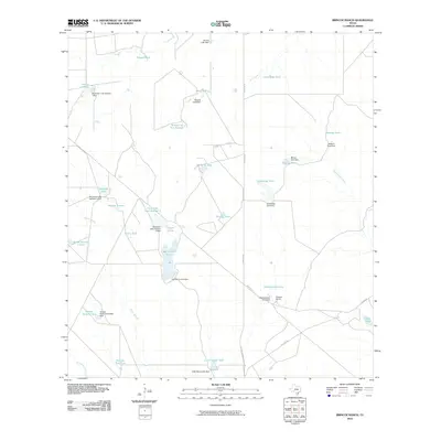
1969 Briscoe Ranch
La Salle County, TX
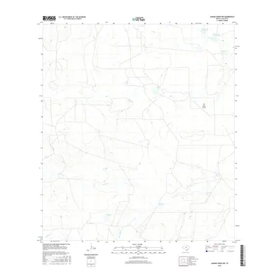
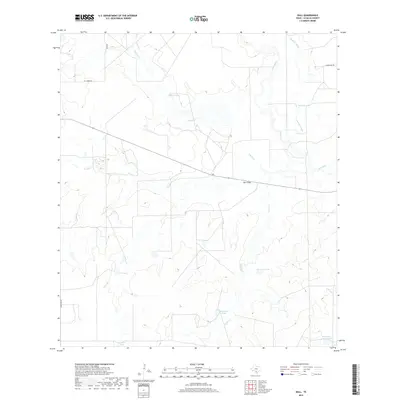
1969 Cayman Lake
La Salle County, TX
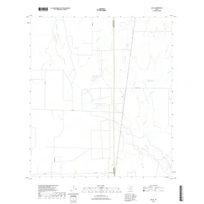
1969 Dull
La Salle County, TX
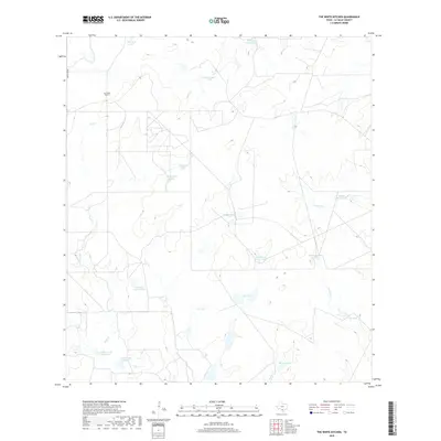
1969 The White Kitchen
La Salle County, TX
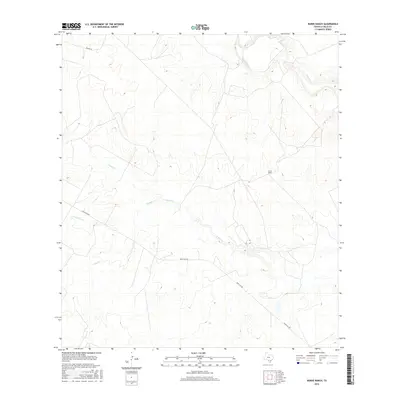
1974 Burns Ranch
La Salle County, TX
1974 Caiman Creek NE
La Salle County, TX
1974 Caiman Creek SE
La Salle County, TX
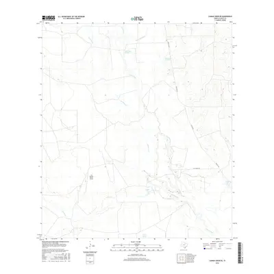
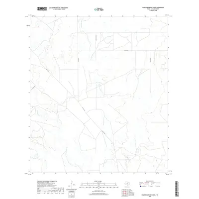
1974 Charco Marrano Creek
La Salle County, TX
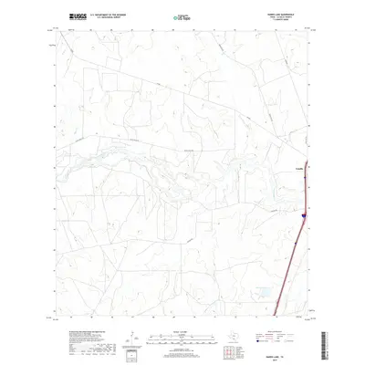
1974 Harris Lake
La Salle County, TX
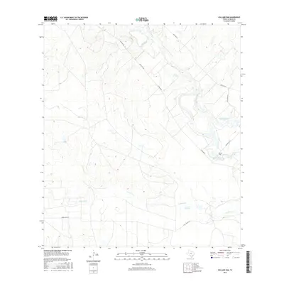
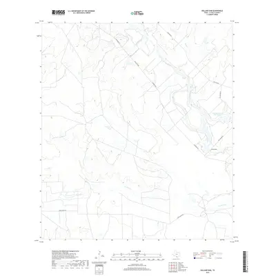
1974 Holland Dam
La Salle County, TX
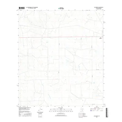
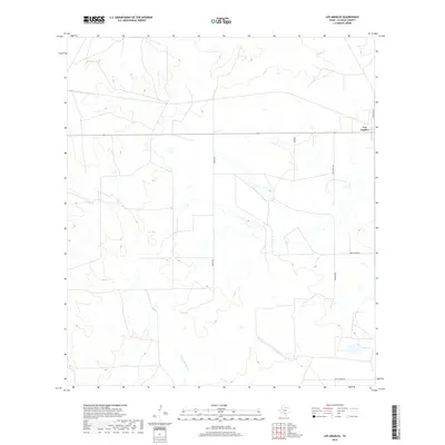
1974 Los Angeles
La Salle County, TX
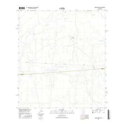
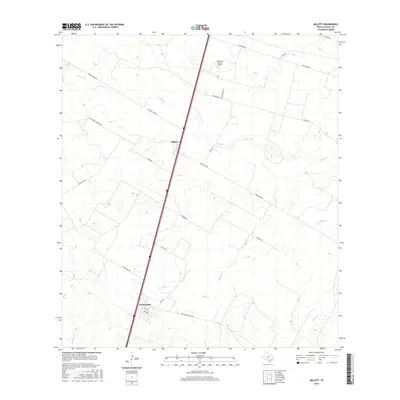
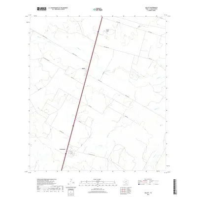
1974 Millett
La Salle County, TX
1974 Piedra Creek NE
La Salle County, TX
1974 Piedra Creek NW
La Salle County, TX
1974 Piedra Creek SE
La Salle County, TX
1974 Piedra Creek SW
La Salle County, TX
1974 Woodward
La Salle County, TX
1982 Artesia Wells
La Salle County, TX
1982 Atlee
La Salle County, TX
1982 Caiman Creek NW
La Salle County, TX
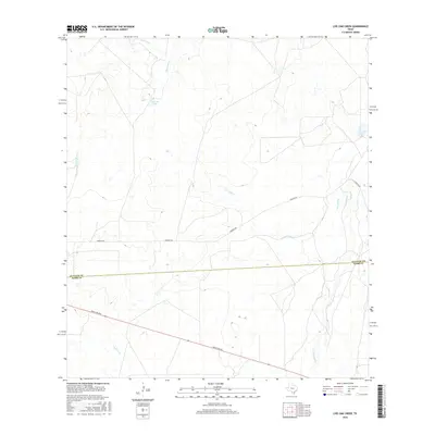
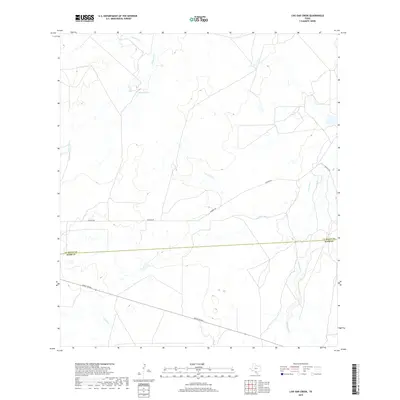
1982 Live Oak Creek
La Salle County, TX
2001 Artesia
La Salle County, TX
2003 Caiman Creek
La Salle County, TX
2010 Artesia Wells
La Salle County, TX
2010 Atlee
La Salle County, TX
2010 Briscoe Ranch
La Salle County, TX
2010 Burns Ranch
La Salle County, TX
2010 Caiman Creek NE
La Salle County, TX
2010 Caiman Creek NW
La Salle County, TX
2010 Caiman Creek SE
La Salle County, TX
2010 Cayman Lake
La Salle County, TX
2010 Charco Marrano Creek
La Salle County, TX
2010 Dull
La Salle County, TX
2010 Harris Lake
La Salle County, TX
2010 Holland Dam
La Salle County, TX
2010 Live Oak Creek
La Salle County, TX
2010 Los Angeles
La Salle County, TX
2010 Millett
La Salle County, TX
2010 Piedra Creek NE
La Salle County, TX
2010 Piedra Creek NW
La Salle County, TX
2010 Piedra Creek SE
La Salle County, TX
2010 Piedra Creek SW
La Salle County, TX
2010 The White Kitchen
La Salle County, TX
2010 Woodward
La Salle County, TX
2010 Zella
La Salle County, TX
2012 Cayman Lake
La Salle County, TX
2012 Dull
La Salle County, TX
2012 Piedra Creek NW
La Salle County, TX
2012 Piedra Creek SE
La Salle County, TX
2012 The White Kitchen
La Salle County, TX
2013 Artesia Wells
La Salle County, TX
2013 Atlee
La Salle County, TX
2013 Briscoe Ranch
La Salle County, TX
2013 Burns Ranch
La Salle County, TX
2013 Caiman Creek NE
La Salle County, TX
2013 Caiman Creek NW
La Salle County, TX
2013 Caiman Creek SE
La Salle County, TX

2013 Charco Marrano Creek
La Salle County, TX
2013 Harris Lake
La Salle County, TX
2013 Holland Dam
La Salle County, TX
2013 Live Oak Creek
La Salle County, TX
2013 Los Angeles
La Salle County, TX

2013 Millett
La Salle County, TX
2013 Piedra Creek NE
La Salle County, TX
2013 Piedra Creek SW
La Salle County, TX
2013 Woodward
La Salle County, TX
2013 Zella
La Salle County, TX
2016 Artesia Wells
La Salle County, TX
2016 Atlee
La Salle County, TX
2016 Briscoe Ranch
La Salle County, TX
2016 Burns Ranch
La Salle County, TX
2016 Caiman Creek NE
La Salle County, TX
2016 Caiman Creek NW
La Salle County, TX
2016 Caiman Creek SE
La Salle County, TX
2016 Cayman Lake
La Salle County, TX
2016 Charco Marrano Creek
La Salle County, TX
2016 Dull
La Salle County, TX
2016 Harris Lake
La Salle County, TX
2016 Holland Dam
La Salle County, TX
2016 Live Oak Creek
La Salle County, TX
2016 Los Angeles
La Salle County, TX
2016 Millett
La Salle County, TX
2016 Piedra Creek NE
La Salle County, TX
2016 Piedra Creek NW
La Salle County, TX
2016 Piedra Creek SE
La Salle County, TX
2016 Piedra Creek SW
La Salle County, TX
2016 The White Kitchen
La Salle County, TX
2016 Woodward
La Salle County, TX
2016 Zella
La Salle County, TX
2019 Artesia Wells
La Salle County, TX
2019 Atlee
La Salle County, TX
2019 Briscoe Ranch
La Salle County, TX
2019 Burns Ranch
La Salle County, TX
2019 Caiman Creek NE
La Salle County, TX
2019 Caiman Creek NW
La Salle County, TX
2019 Caiman Creek SE
La Salle County, TX
2019 Cayman Lake
La Salle County, TX
2019 Charco Marrano Creek
La Salle County, TX
2019 Dull
La Salle County, TX
2019 Harris Lake
La Salle County, TX
2019 Holland Dam
La Salle County, TX
2019 Live Oak Creek
La Salle County, TX
2019 Los Angeles
La Salle County, TX
2019 Millett
La Salle County, TX
2019 Piedra Creek NE
La Salle County, TX
2019 Piedra Creek NW
La Salle County, TX
2019 Piedra Creek SE
La Salle County, TX
2019 Piedra Creek SW
La Salle County, TX
2019 The White Kitchen
La Salle County, TX
2019 Woodward
La Salle County, TX
2019 Zella
La Salle County, TX
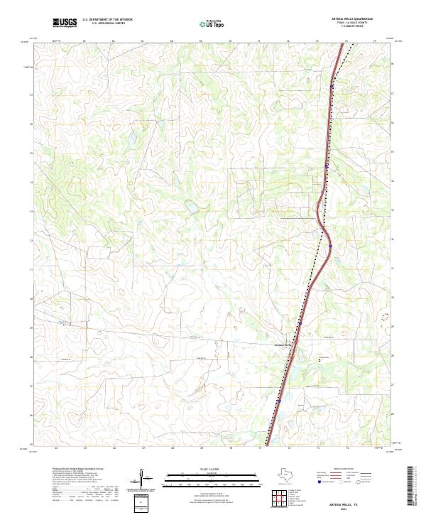
2022 Artesia Wells
La Salle County, TX
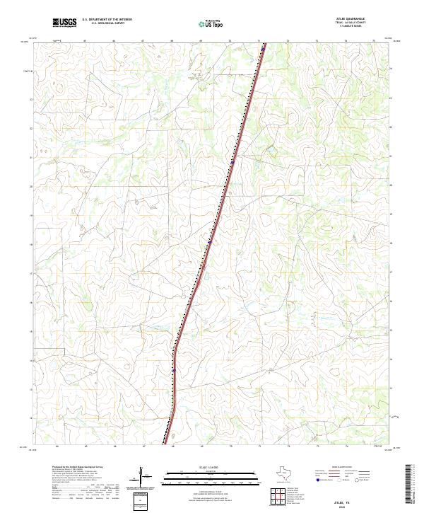
2022 Atlee
La Salle County, TX
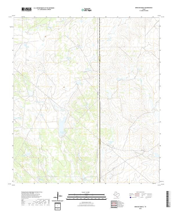
2022 Briscoe Ranch
La Salle County, TX
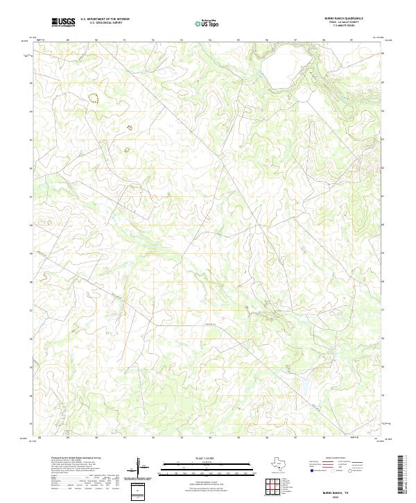
2022 Burns Ranch
La Salle County, TX
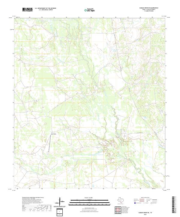
2022 Caiman Creek NE
La Salle County, TX
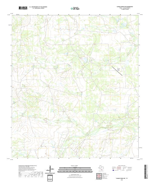
2022 Caiman Creek NW
La Salle County, TX
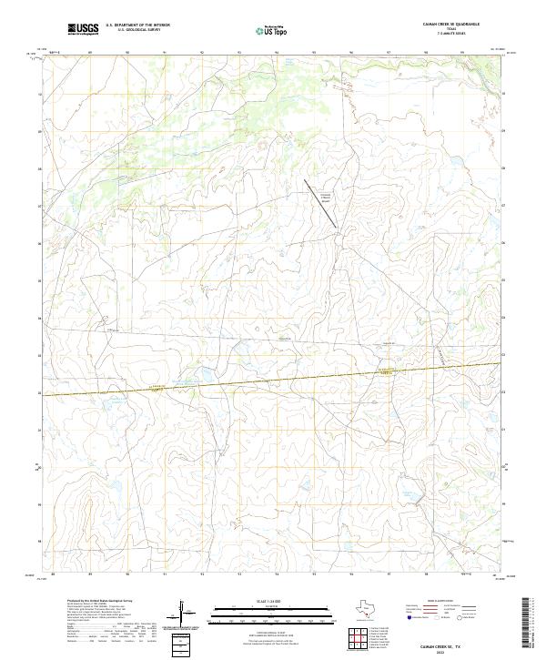
2022 Caiman Creek SE
La Salle County, TX
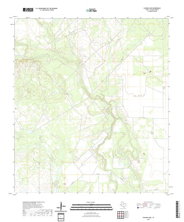
2022 Cayman Lake
La Salle County, TX
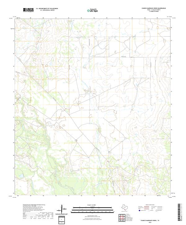
2022 Charco Marrano Creek
La Salle County, TX
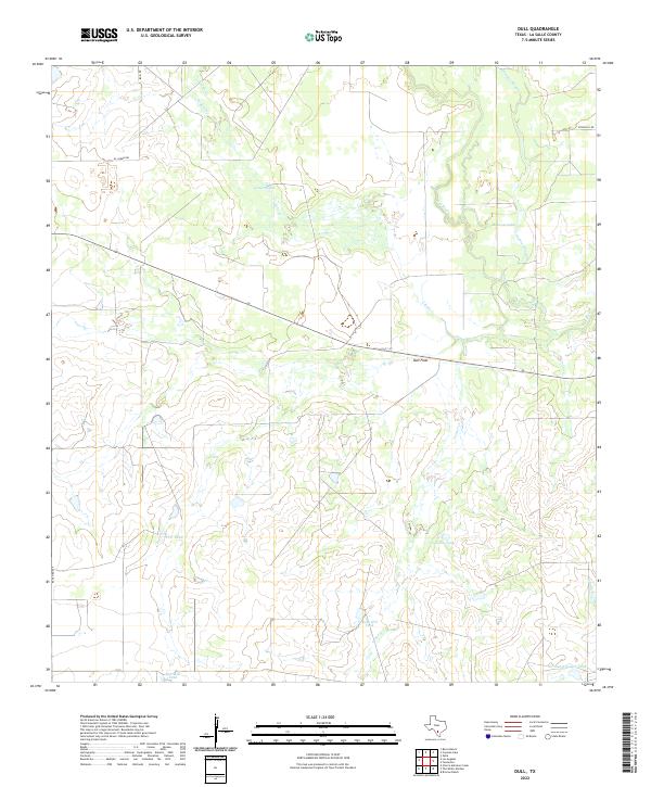
2022 Dull
La Salle County, TX
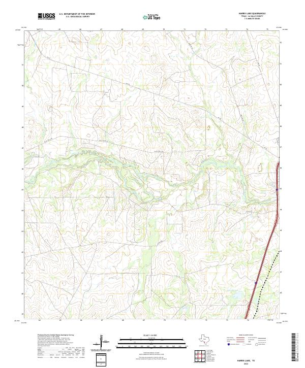
2022 Harris Lake
La Salle County, TX
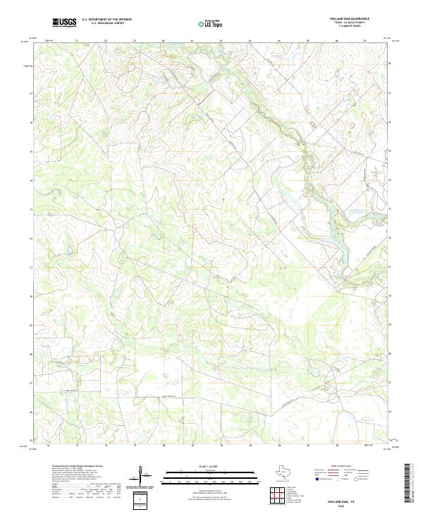
2022 Holland Dam
La Salle County, TX
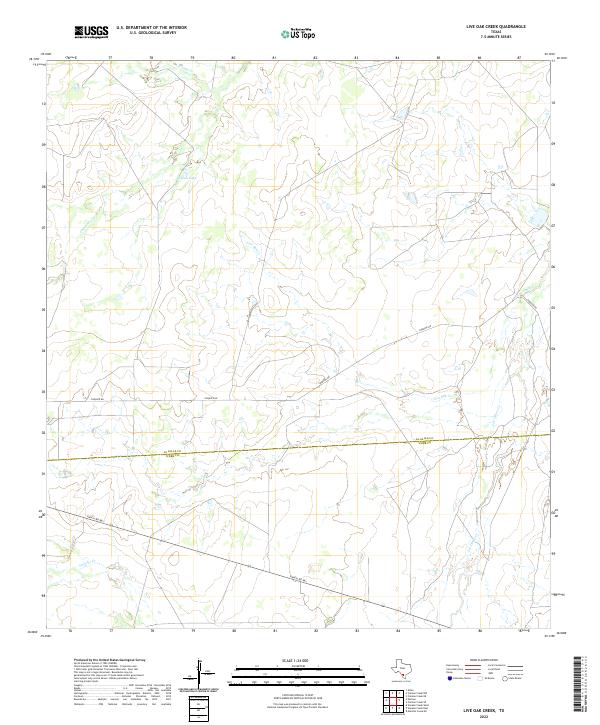
2022 Live Oak Creek
La Salle County, TX
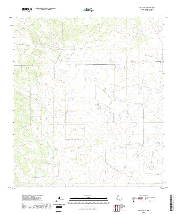
2022 Los Angeles
La Salle County, TX
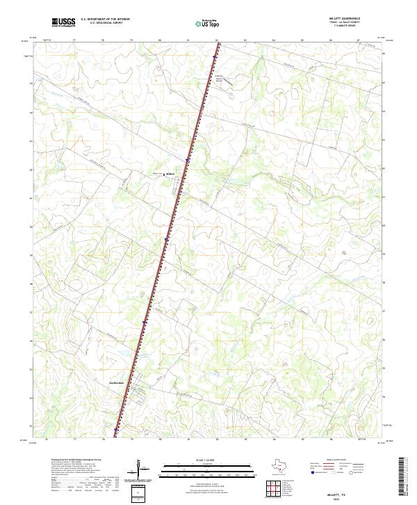
2022 Millett
La Salle County, TX
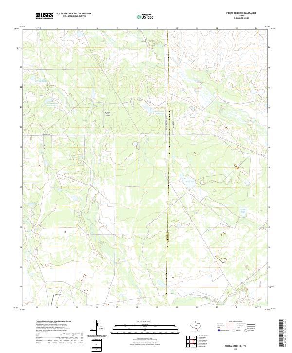
2022 Piedra Creek NE
La Salle County, TX
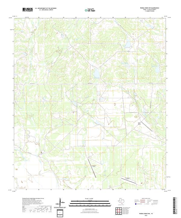
2022 Piedra Creek NW
La Salle County, TX
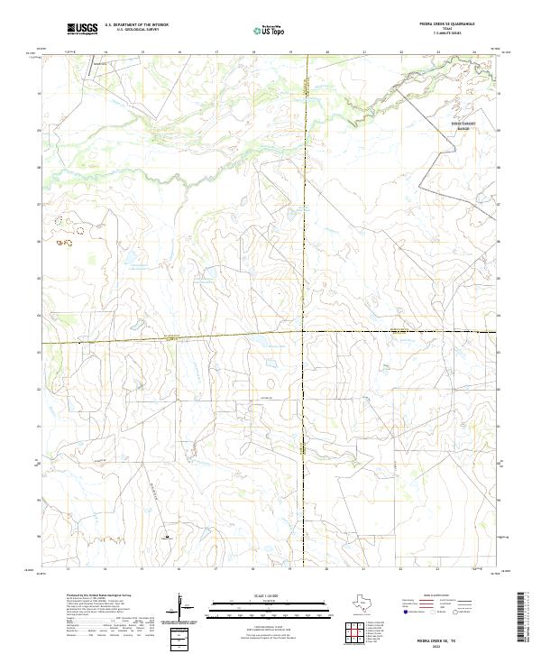
2022 Piedra Creek SE
La Salle County, TX
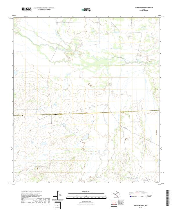
2022 Piedra Creek SW
La Salle County, TX
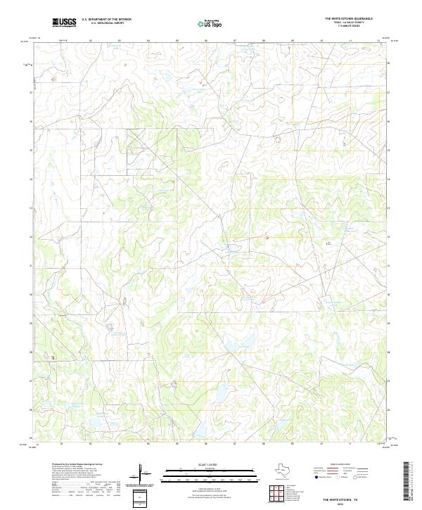
2022 The White Kitchen
La Salle County, TX
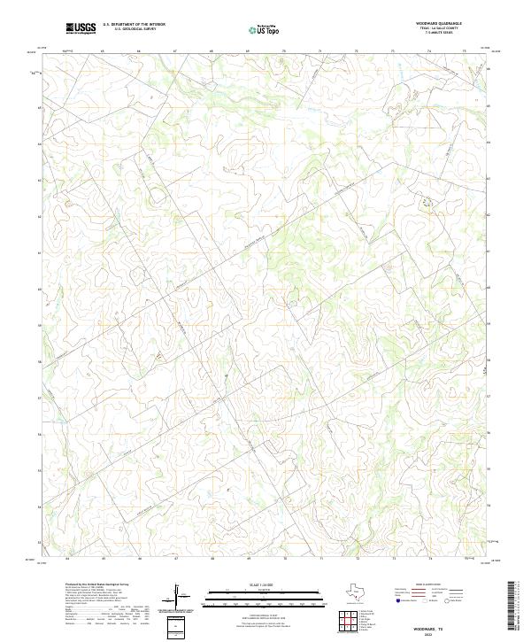
2022 Woodward
La Salle County, TX
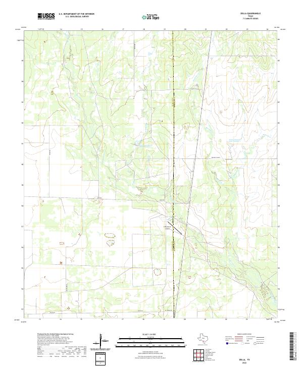
2022 Zella
La Salle County, TX