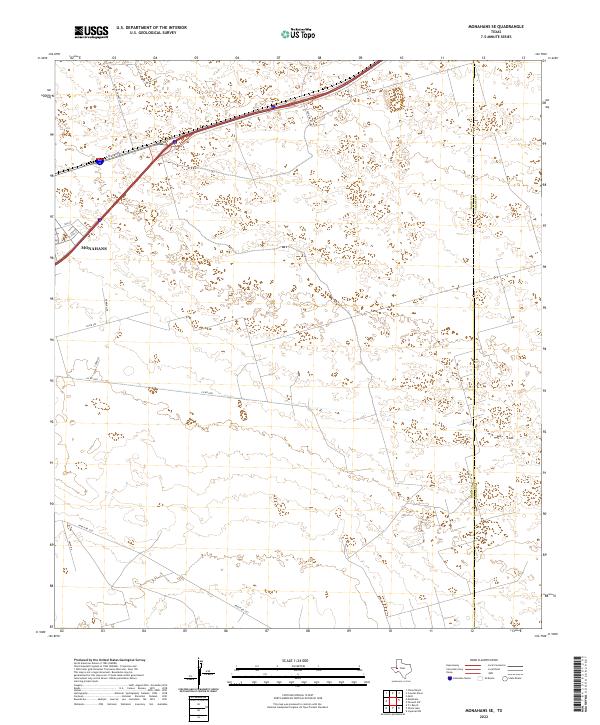
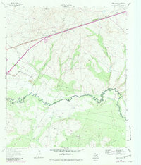
2022 Map of Monahans SE
USGS Topo · Published 2022This historical map portrays the area of Monahans SE in 2022, primarily covering Ward County as well as portions of Crane County. Featuring a scale of 1:24000, this map provides a highly detailed snapshot of the terrain, roads, buildings, counties, and historical landmarks in the Monahans SE region at the time. Published in 2022, it is the sole known edition of this map.
Map Details
Editions of this 2022 Monahans SE Map
This is the sole edition of this map. No revisions or reprints were ever made.
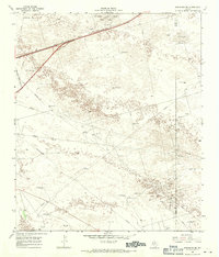
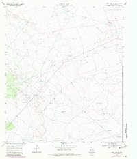
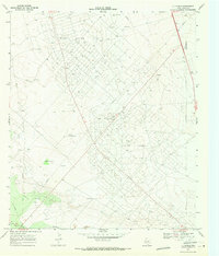
Historical Maps of Crane County Through Time
20 maps found
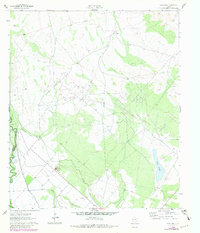
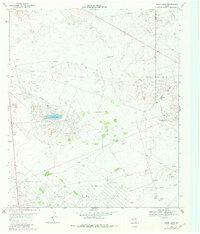
1961 Soda Lake
Ward County, TX
1963 China Lake NE
Ward County, TX
1963 China Lake
Ward County, TX
1963 Quito Draw
Ward County, TX
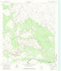
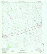
1968 Monahans SE
Ward County, TX
1968 Soda Lake SE
Ward County, TX
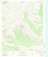
1969 7 L Ranch
Ward County, TX
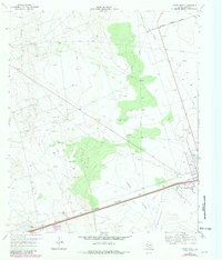
1969 Ozark Lake
Ward County, TX
1969 Pyote East
Ward County, TX
1969 Pyote West
Ward County, TX
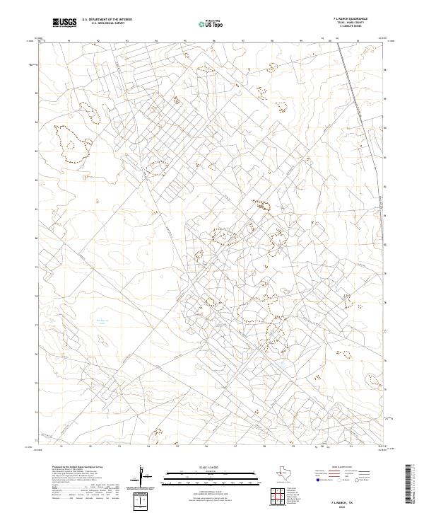
2022 7 L Ranch
Ward County, TX
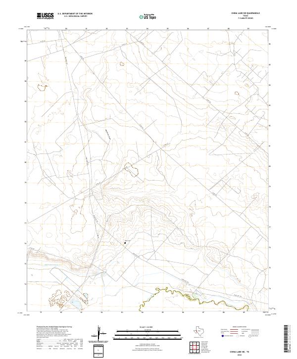
2022 China Lake NE
Ward County, TX
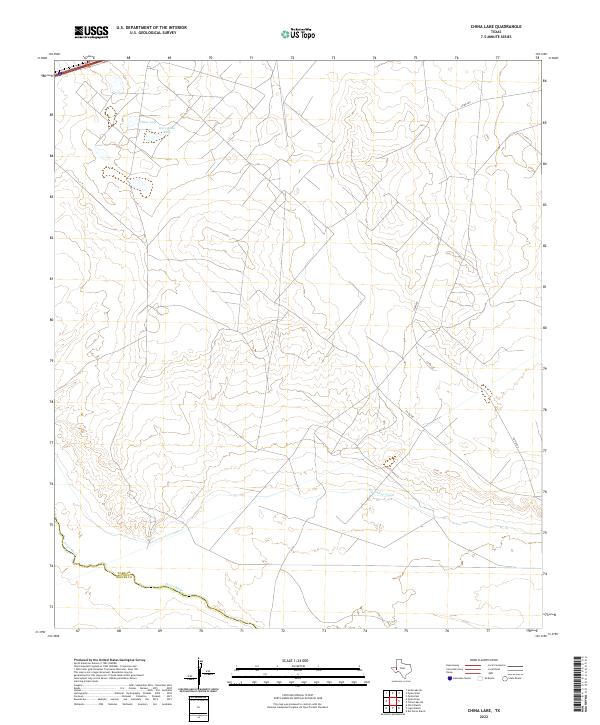
2022 China Lake
Ward County, TX
2022 Monahans SE
Ward County, TX
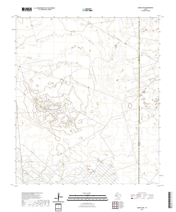
2022 Ozark Lake
Ward County, TX
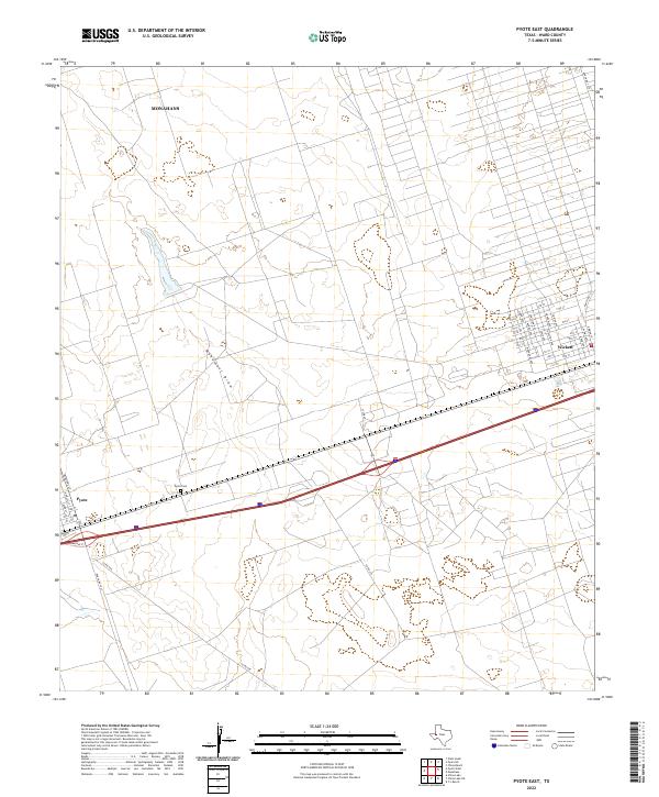
2022 Pyote East
Ward County, TX
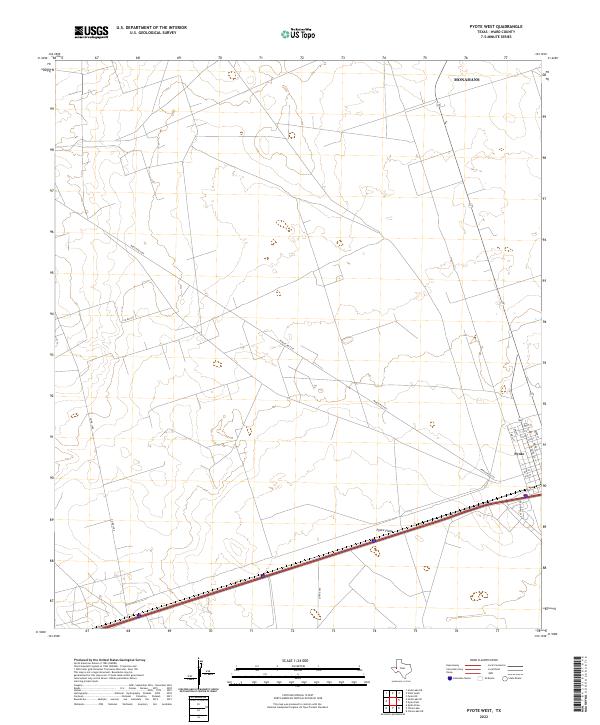
2022 Pyote West
Ward County, TX
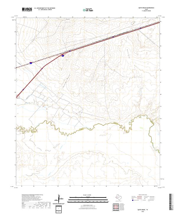
2022 Quito Draw
Ward County, TX
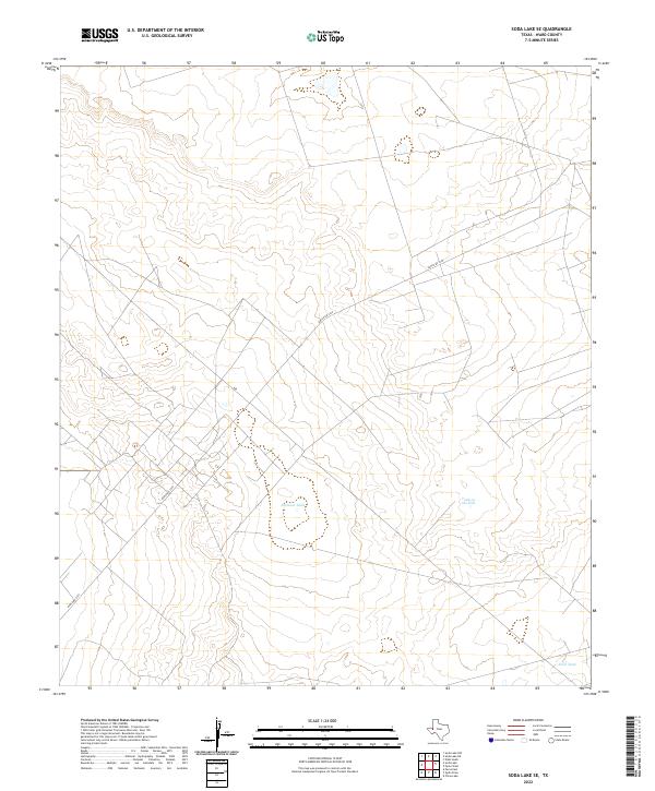
2022 Soda Lake SE
Ward County, TX
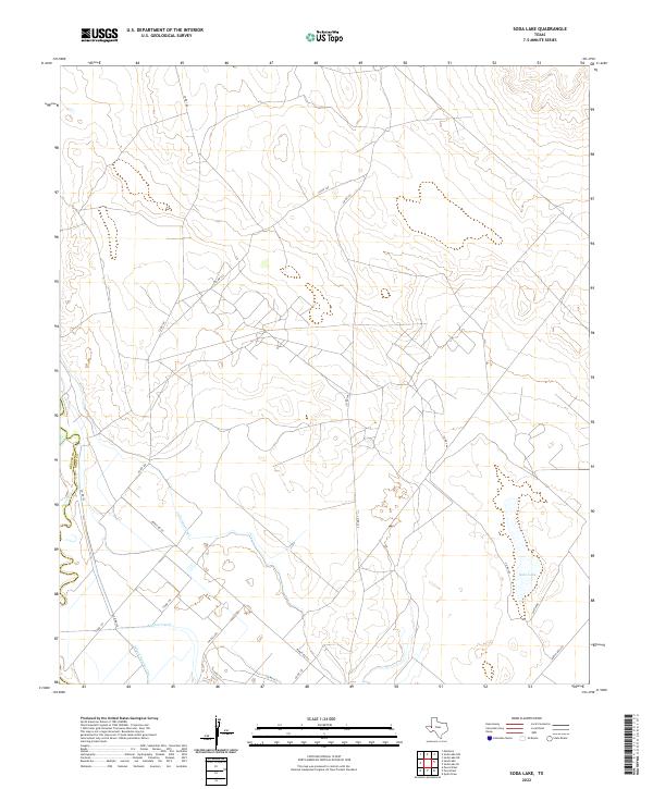
2022 Soda Lake
Ward County, TX