
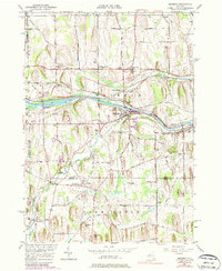
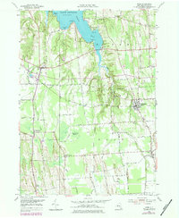
2023 Map of North Wolcott
USGS Topo · Published 2023About this map
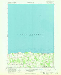
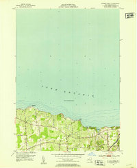
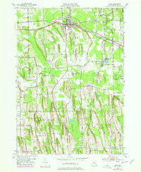
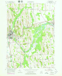
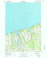
Lake Ontario defines the northern reaches of this landscape, where the shoreline is punctuated by prominent features like Scotts Bluff and the sheltered waters of Port Bay. The terrain is characterized by a series of north-south drumlins and ridges that guide the paths of Beaver Creek, Mudge Creek, and Wolcott Creek toward the Great Lake. The settlement of North Wolcott serves as a central point of interest, surrounded by a network of rural roads such as Dutch Street Rd and Wadsworth Rd that trace the historical agricultural divisions of Wayne County.
Find a feature on this map
56 named features on this map. Tap any name to fly to it.
Don’t see what you’re looking for? This feature index may not catch every label — zoom into the map to look around manually.
Map Details
Editions of this 2023 North Wolcott Map
This is the sole edition of this map. No revisions or reprints were ever made.
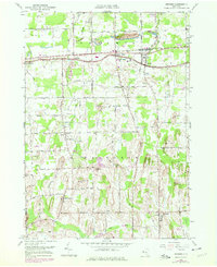
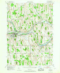
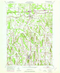
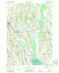
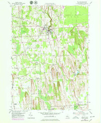
Historical Maps of Desbrough Park Through Time
36 maps found
1899 Palmyra
Wayne County, NY
1902 Palmyra
Wayne County, NY
1902 Sodus Bay
Wayne County, NY

1942 Ontario
Wayne County, NY

1943 Lyons
Wayne County, NY

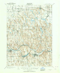
1943 North Wolcott
Wayne County, NY

1943 Palmyra
Wayne County, NY

1943 Rose
Wayne County, NY

1943 Savannah
Wayne County, NY

1943 Sodus
Wayne County, NY

1943 Williamson
Wayne County, NY

1943 Wolcott
Wayne County, NY
1951 Macedon
Wayne County, NY
1952 Furnaceville
Wayne County, NY
1952 Ontario
Wayne County, NY
1952 Palmyra
Wayne County, NY
1952 Salmon Creek
Wayne County, NY
1952 Sodus
Wayne County, NY
1952 Williamson
Wayne County, NY
1953 Lyons
Wayne County, NY
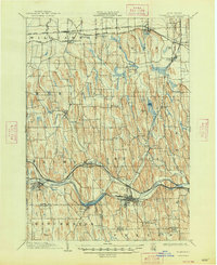
1953 North Wolcott
Wayne County, NY
1953 Rose
Wayne County, NY
1953 Savannah
Wayne County, NY
1953 Wolcott
Wayne County, NY

2023 Furnaceville
Wayne County, NY

2023 Lyons
Wayne County, NY

2023 Macedon
Wayne County, NY
2023 North Wolcott
Wayne County, NY

2023 Ontario
Wayne County, NY

2023 Palmyra
Wayne County, NY

2023 Rose
Wayne County, NY

2023 Salmon Creek
Wayne County, NY

2023 Savannah
Wayne County, NY

2023 Sodus
Wayne County, NY

2023 Williamson
Wayne County, NY

2023 Wolcott
Wayne County, NY