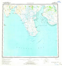
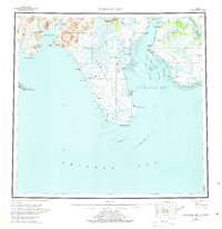
1951 Map of Nushagak Bay
USGS Topo · Published 1965About this map
Nushagak Bay serves as the focal point for this mid-century coastal survey, illustrating the complex maritime environment of the Bristol Bay region. The map documents established settlements and seasonal fishing infrastructure, including a Cannery at Ekuk and the former village location at Igushik (Site). The geography is defined by the convergence of major river systems like the Wood River and Nushagak River, which feed into a network of navigation routes such as Ship Channel and Schooner Channel. Extensive tidal features like Flounder Flat and Combine Flats suggest the navigational challenges faced by early 20th-century mariners. Along the coast, family and local landmarks such as Nichols Hills and Bradford Pt provide essential orientation points for those tracing the history of the Alaska salmon fishery and indigenous coastal life in the post-war era.
Find a feature on this map
51 named features on this map. Tap any name to fly to it.
Don’t see what you’re looking for? This feature index may not catch every label — zoom into the map to look around manually.
Map Details
Editions of this 1951 Nushagak Bay Map
7 editions found

Other maps of this area

1943 · Ugashik
USGS Topo · 1:250,000

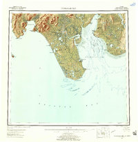
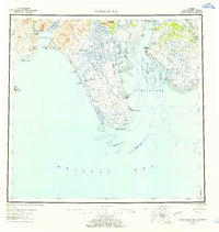
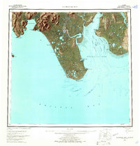
1945 · Nushagak Bay
USGS Topo · 1:250,000

1948 · Ugashik
USGS Topo · 1:250,000

1948 · Nushagak Bay D-4
USGS Topo · 1:63,360

1948 · Nushagak Bay D-3
USGS Topo · 1:63,360

1948 · Nushagak Bay C-4 And C-5
USGS Topo · 1:63,360

1948 · Hagemeister Island C-1
USGS Topo · 1:63,360

1949 · Ugashik
USGS Topo · 1:250,000

1949 · Nushagak Bay
USGS Topo · 1:250,000

1950 · Nushagak Bay B-4
USGS Topo · 1:63,360