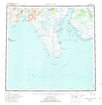
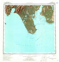
1951 Map of Nushagak Bay
USGS Topo · Published 1975About this map
Nushagak Bay and the northern reaches of Bristol Bay define this mid-century coastal survey, capturing a region anchored by its maritime industry and indigenous settlements. Concentrated activity appears along the eastern shore of the bay, where Clarks Point and the village of Ekuk are noted alongside several Canneries, highlighting the area's significance as a commercial fishing hub. The western side is dominated by the expansive Nushagak Peninsula, terminating at Cape Constantine, and the settlement of Manokotak located near the base of Acorn Peak.
Find a feature on this map
53 named features on this map. Tap any name to fly to it.
Don’t see what you’re looking for? This feature index may not catch every label — zoom into the map to look around manually.
Map Details
Editions of this 1951 Nushagak Bay Map
7 editions found

Other maps of this area

1943 · Ugashik
USGS Topo · 1:250,000

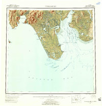
1945 · Nushagak Bay
USGS Topo · 1:250,000

1948 · Ugashik
USGS Topo · 1:250,000

1948 · Nushagak Bay D-4
USGS Topo · 1:63,360

1948 · Nushagak Bay D-3
USGS Topo · 1:63,360

1948 · Nushagak Bay C-4 And C-5
USGS Topo · 1:63,360

1948 · Hagemeister Island C-1
USGS Topo · 1:63,360

1949 · Ugashik
USGS Topo · 1:250,000

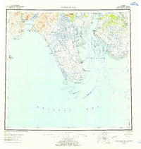
1949 · Nushagak Bay
USGS Topo · 1:250,000

1950 · Nushagak Bay B-4
USGS Topo · 1:63,360