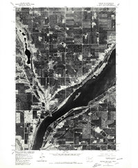
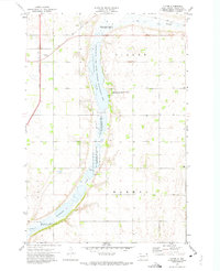
1977 Map of Peever NE
USGS Topo · Published 1979About this map
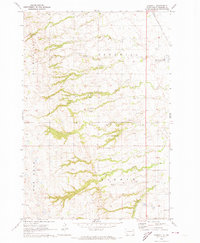
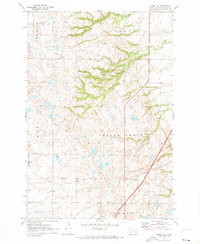
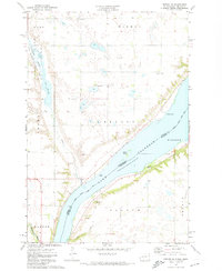
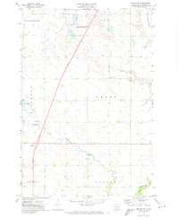
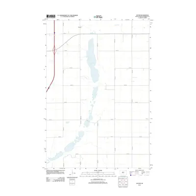
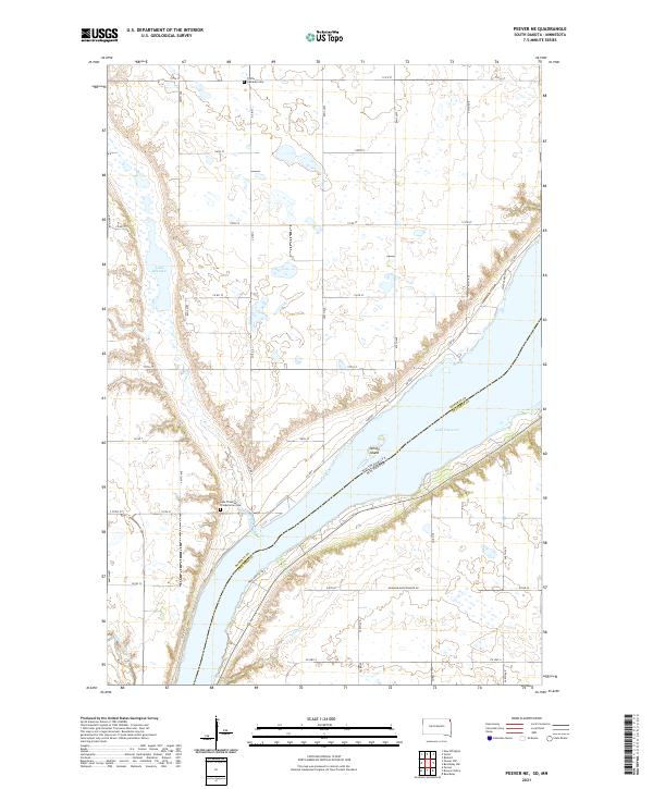
Lake Traverse dominates the eastern boundary of this orthophotoquad, serving as the headwaters for the Red River of the North while sitting remarkably close to the Minnesota River in the south. This unique geographical arrangement highlights the Laurentian Divide, where the drainage of the continent splits toward the Gulf of Mexico and Hudson Bay. Produced by the Geological Survey in cooperation with the Bureau of Indian Affairs, the imagery shows a landscape defined by the geometric precision of the Section Land Survey system. This 1977 aerial perspective reveals a dense network of farmsteads and field boundaries, particularly as the terrain slopes toward the basin of Jim Creek. The map captures the agricultural patterns of the Lake Traverse Reservation area before the further modernization of rural infrastructure.
Find a feature on this map
3 named features on this map. Tap any name to fly to it.
Don’t see what you’re looking for? This feature index may not catch every label — zoom into the map to look around manually.
Map Details
Editions of this 1977 Peever NE Map
This is the sole edition of this map. No revisions or reprints were ever made.
Historical Maps of Lake Traverse District Through Time
53 maps found
1954 Big Stone Lake
Roberts County, SD
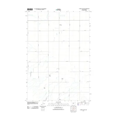
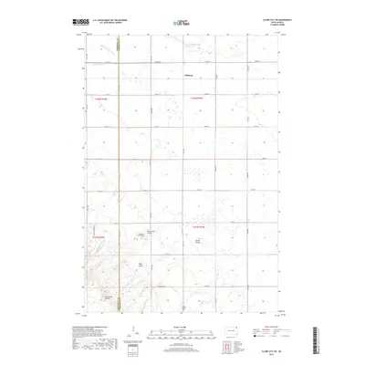
1964 Claire City SW
Roberts County, SD

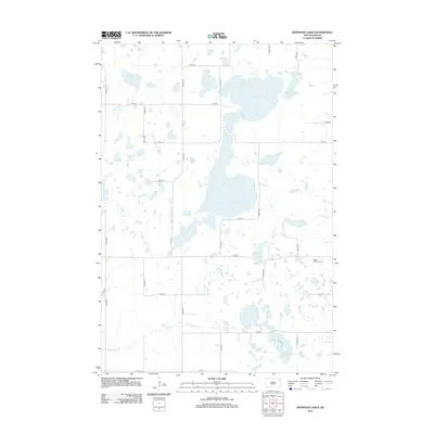
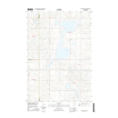
1970 Drywood Lakes
Roberts County, SD
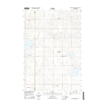
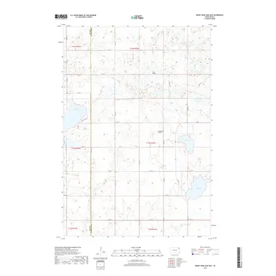
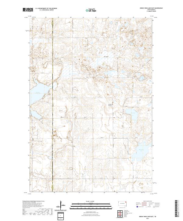
1970 Enemy Swim Lake East
Roberts County, SD
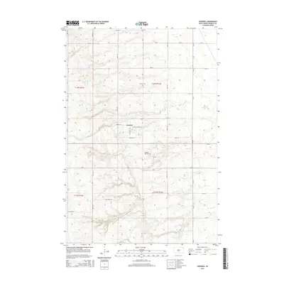
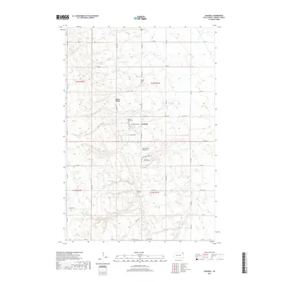
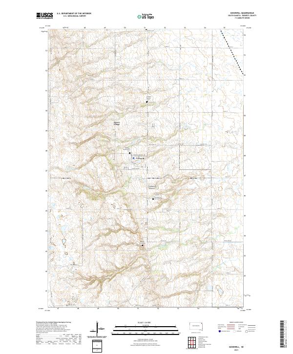
1970 Goodwill
Roberts County, SD
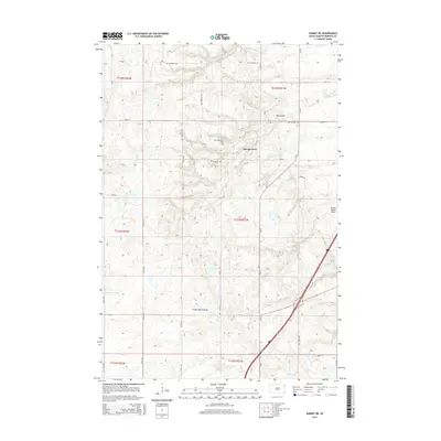
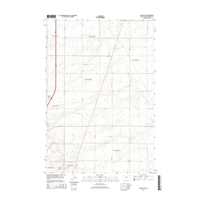
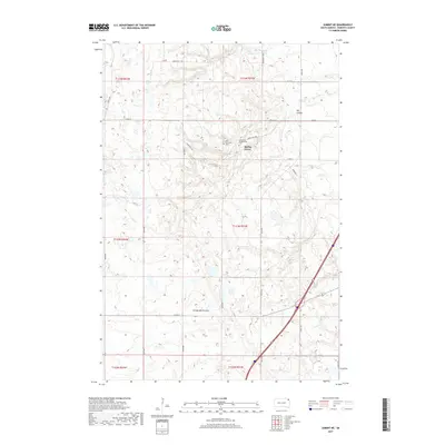
1970 Summit NE
Roberts County, SD

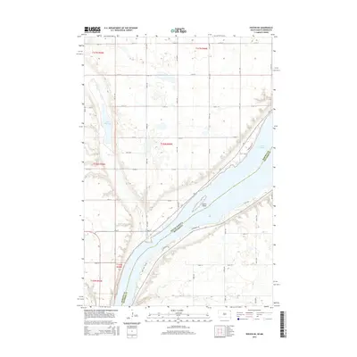
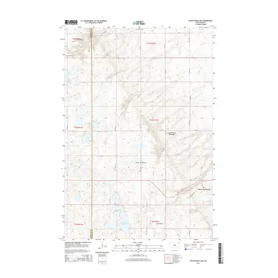
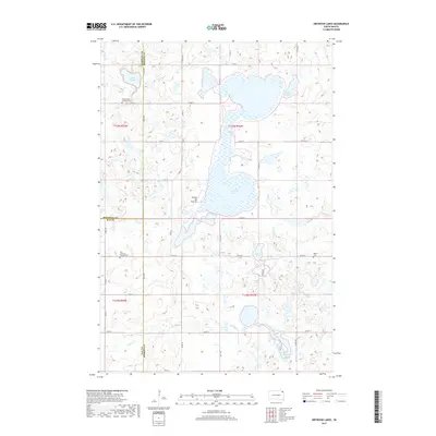
1970 Whitestone Lake
Roberts County, SD

1970 Wilmot NW
Roberts County, SD
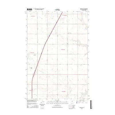
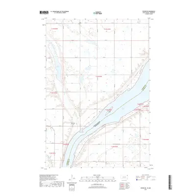
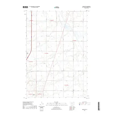
1971 Peever NE
Roberts County, SD
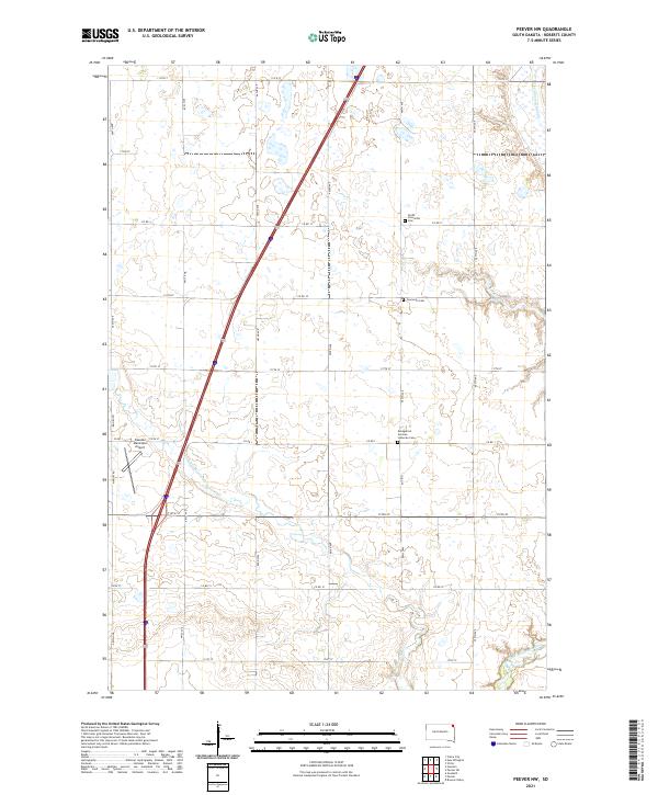
1971 Peever NW
Roberts County, SD
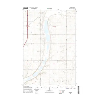
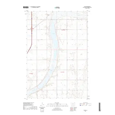
1972 Victor
Roberts County, SD
1977 Peever NE
Roberts County, SD
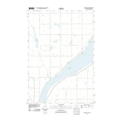
2010 Peever NE
Roberts County, SD
2012 Claire City SW
Roberts County, SD
2012 Drywood Lakes
Roberts County, SD
2012 Enemy Swim Lake East
Roberts County, SD
2012 Goodwill
Roberts County, SD
2012 Peever NE
Roberts County, SD

2012 Peever NW
Roberts County, SD
2012 Summit NE
Roberts County, SD
2012 Victor
Roberts County, SD
2012 Whitestone Lake
Roberts County, SD
2012 Wilmot NW
Roberts County, SD
2015 Claire City SW
Roberts County, SD
2015 Drywood Lakes
Roberts County, SD
2015 Enemy Swim Lake East
Roberts County, SD
2015 Goodwill
Roberts County, SD
2015 Peever NE
Roberts County, SD
2015 Peever NW
Roberts County, SD
2015 Summit NE
Roberts County, SD
2015 Victor
Roberts County, SD
2015 Whitestone Lake
Roberts County, SD
2015 Wilmot NW
Roberts County, SD
2017 Claire City SW
Roberts County, SD
2017 Drywood Lakes
Roberts County, SD
2017 Enemy Swim Lake East
Roberts County, SD
2017 Goodwill
Roberts County, SD
2017 Peever NE
Roberts County, SD

2017 Peever NW
Roberts County, SD
2017 Summit NE
Roberts County, SD
2017 Victor
Roberts County, SD
2017 Whitestone Lake
Roberts County, SD
2017 Wilmot NW
Roberts County, SD
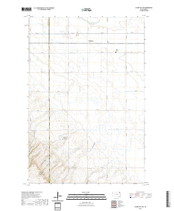
2021 Claire City SW
Roberts County, SD
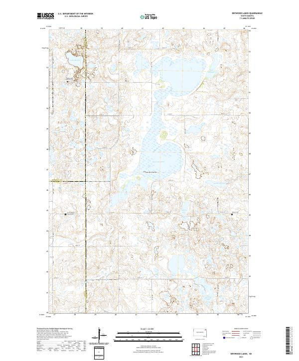
2021 Drywood Lakes
Roberts County, SD
2021 Enemy Swim Lake East
Roberts County, SD
2021 Goodwill
Roberts County, SD
2021 Peever NE
Roberts County, SD
2021 Peever NW
Roberts County, SD
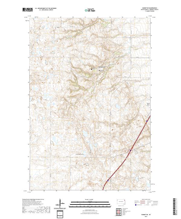
2021 Summit NE
Roberts County, SD
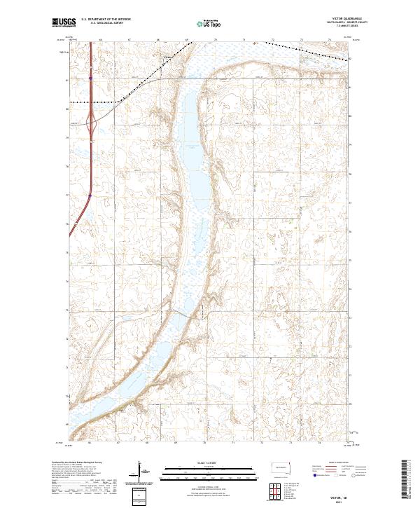
2021 Victor
Roberts County, SD
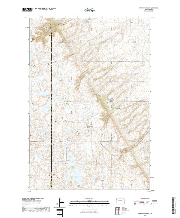
2021 Whitestone Lake
Roberts County, SD
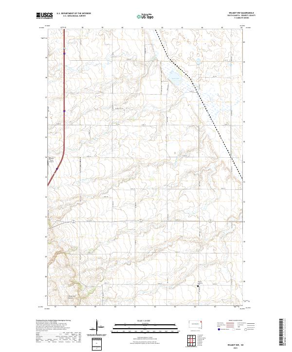
2021 Wilmot NW
Roberts County, SD