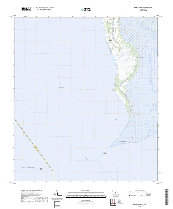
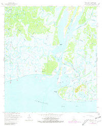
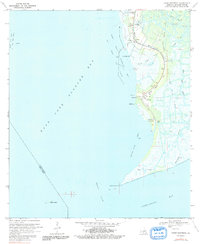
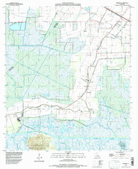
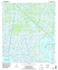
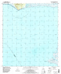
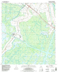
2025 Map of Point Chevreuil
USGS Topo · Published 2025This historical map portrays the area of Point Chevreuil in 2025, primarily covering St. Mary Parish as well as portions of Iberia Parish. Featuring a scale of 1:24000, this map provides a highly detailed snapshot of the terrain, roads, buildings, counties, and historical landmarks in the Point Chevreuil region at the time. Published in 2025, it is the sole known edition of this map.
Find a feature on this map
28 named features on this map. Tap any name to fly to it.
Don’t see what you’re looking for? This feature index may not catch every label — zoom into the map to look around manually.
Map Details
Editions of this 2025 Point Chevreuil Map
This is the sole edition of this map. No revisions or reprints were ever made.
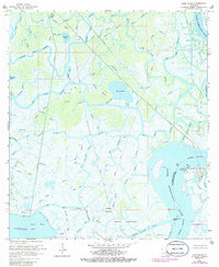
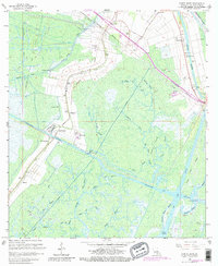
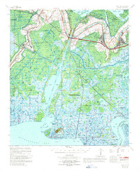
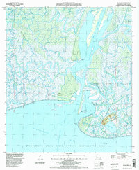
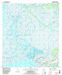
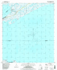
Historical Maps of Gordy Through Time
36 maps found

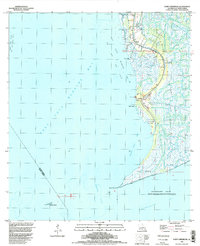
1935 Belle Isle
St. Mary Parish, LA

1937 Bayou Sale
St. Mary Parish, LA

1941 Belle Isle
St. Mary Parish, LA
1949 Hammock Lake
St. Mary Parish, LA

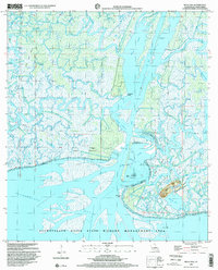
1954 Belle Isle
St. Mary Parish, LA

1957 Bayou Sale
St. Mary Parish, LA
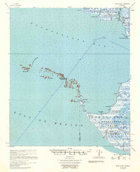
1957 Point Au Fer
St. Mary Parish, LA
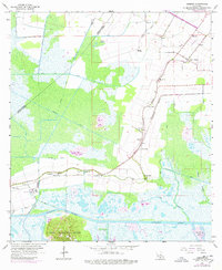
1963 Kemper
St. Mary Parish, LA
1966 Belle Isle
St. Mary Parish, LA
1966 Lake Salve
St. Mary Parish, LA
1966 North Bend
St. Mary Parish, LA
1967 Belle Isle
St. Mary Parish, LA
1968 Hammock Lake
St. Mary Parish, LA
1970 Centerville NW
St. Mary Parish, LA
1970 Ellerslie
St. Mary Parish, LA
1970 Marone Point
St. Mary Parish, LA
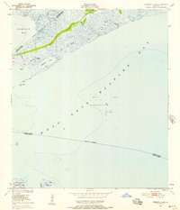
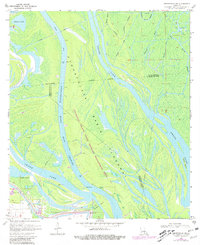
1970 Point Chevreuil
St. Mary Parish, LA
1994 Belle Isle
St. Mary Parish, LA
1994 Ellerslie
St. Mary Parish, LA
1994 Hammock Lake
St. Mary Parish, LA
1994 Kemper
St. Mary Parish, LA
1994 Lake Salve
St. Mary Parish, LA
1994 Marone Point
St. Mary Parish, LA
1994 North Bend
St. Mary Parish, LA
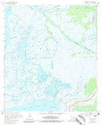
1994 Point Chevreuil
St. Mary Parish, LA
1998 Belle Isle
St. Mary Parish, LA
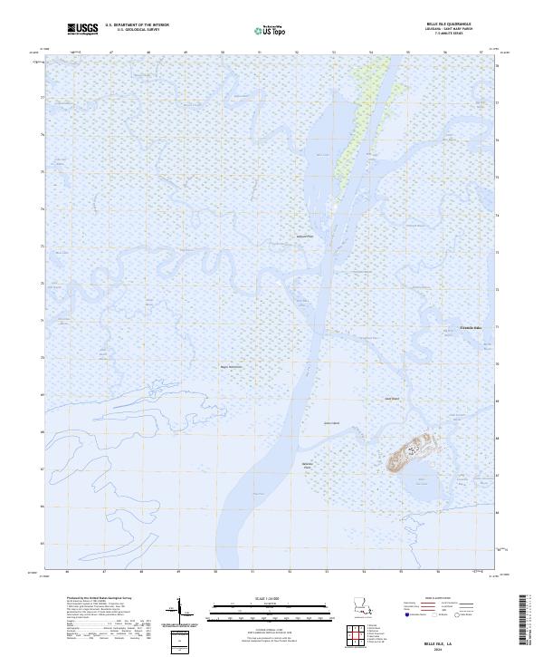
2024 Belle Isle
St. Mary Parish, LA
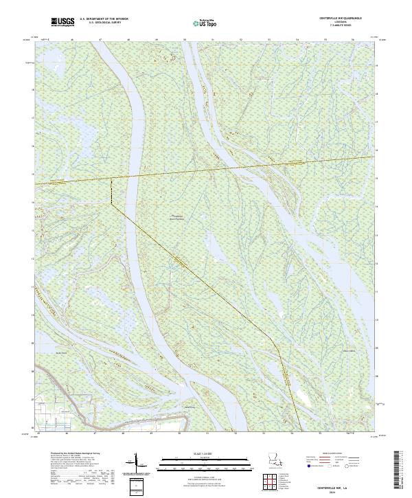
2024 Centerville NW
St. Mary Parish, LA
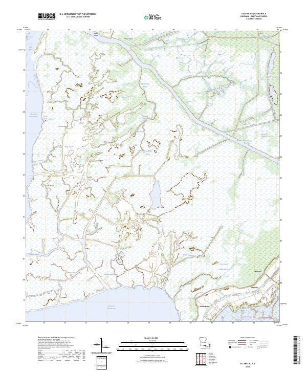
2024 Ellerslie
St. Mary Parish, LA
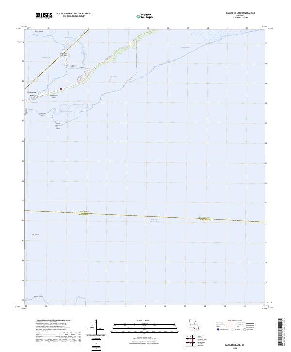
2024 Hammock Lake
St. Mary Parish, LA
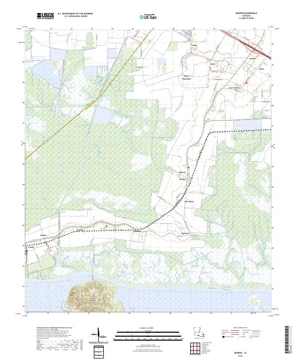
2024 Kemper
St. Mary Parish, LA
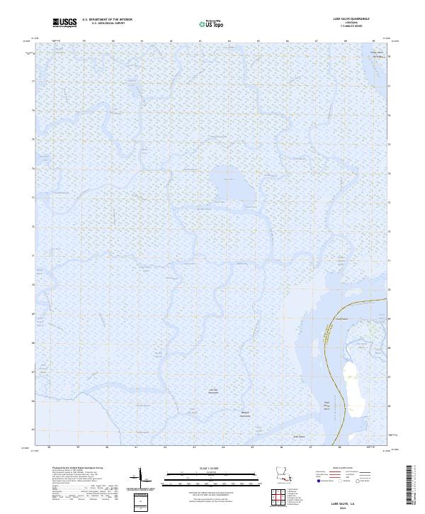
2024 Lake Salve
St. Mary Parish, LA
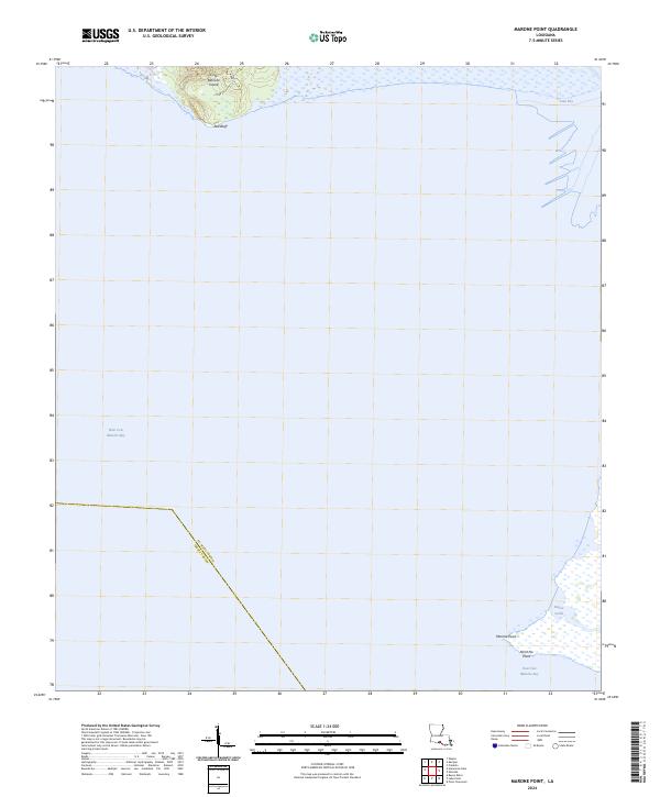
2024 Marone Point
St. Mary Parish, LA
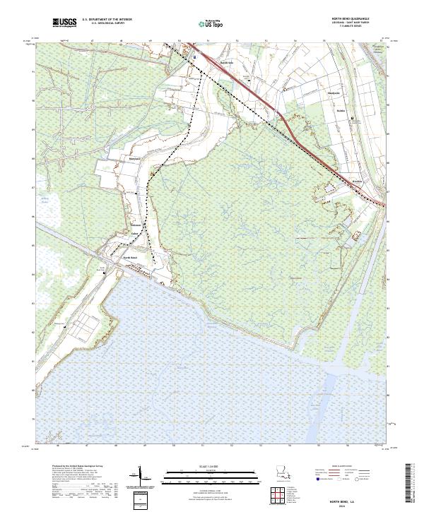
2024 North Bend
St. Mary Parish, LA
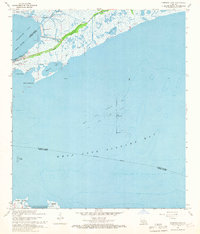
2025 Point Chevreuil
St. Mary Parish, LA
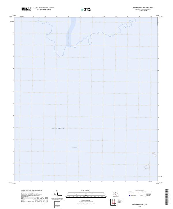
2025 South of Belle Isle
St. Mary Parish, LA