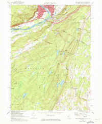
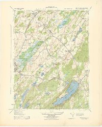
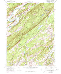
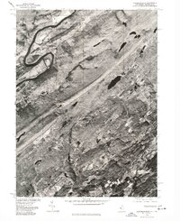
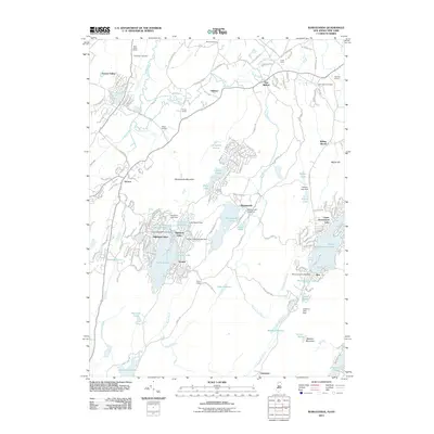
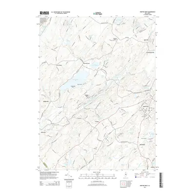
1969 Map of Port Jervis South
USGS Topo · Published 1972About this map
Port Jervis and Matamoras anchor the tri-state junction where the Neversink River meets the Delaware River. This late 1960s survey captures the dense urban core of Port Jervis, featuring St Francis Hospital, St. Marys Cemetery, and the Erie Lackawanna rail lines that once drove the regional economy. Across the river, Mashipacong Island sits in the Delaware, marking the transition into the high ridges of Kittatinny Mountain.
Find a feature on this map
57 named features on this map. Tap any name to fly to it.
Don’t see what you’re looking for? This feature index may not catch every label — zoom into the map to look around manually.
Map Details
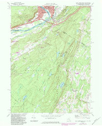
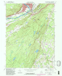
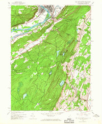
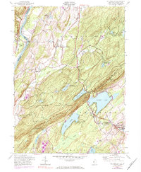
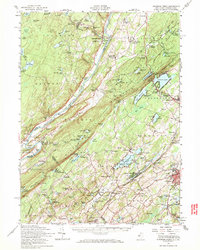
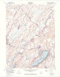
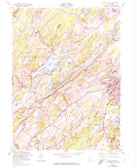
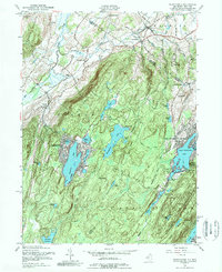
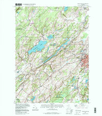
Editions of this 1969 Port Jervis South Map
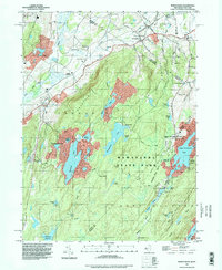
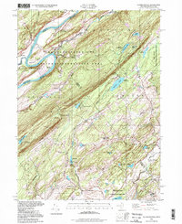
Historical Maps of Wantage Through Time
41 maps found
1903 Franklin Furnace
Sussex County, NJ

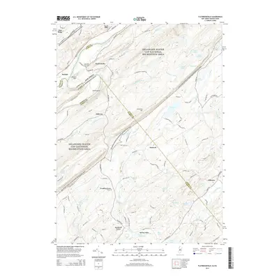
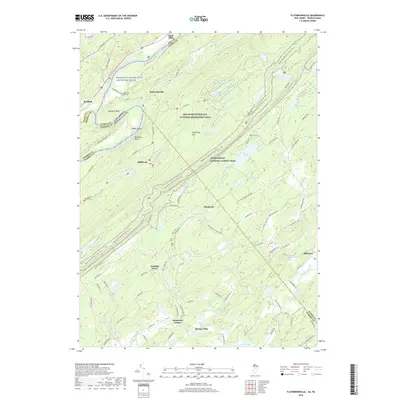
1943 Flatbrookville
Sussex County, NJ

1943 Franklin Furnace
Sussex County, NJ
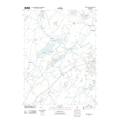
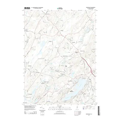
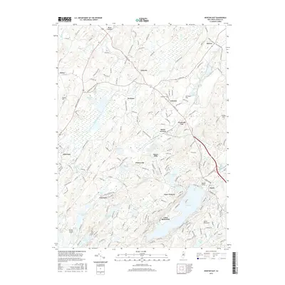
1943 Newton East
Sussex County, NJ
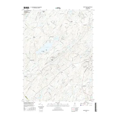
1943 Port Jervis South
Sussex County, NJ
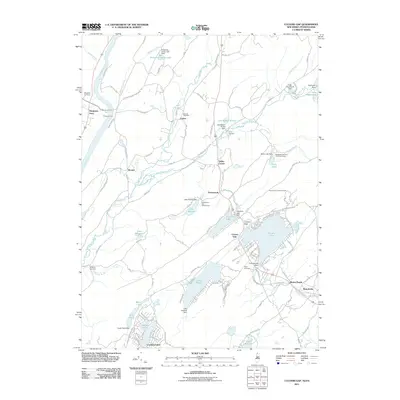
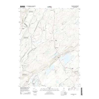
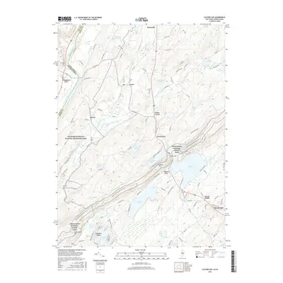
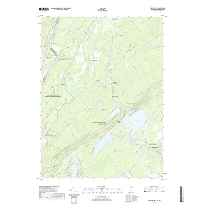
1954 Culvers Gap
Sussex County, NJ
1954 Dingmans Ferry
Sussex County, NJ
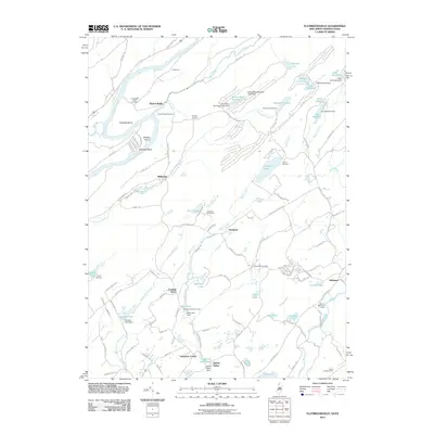
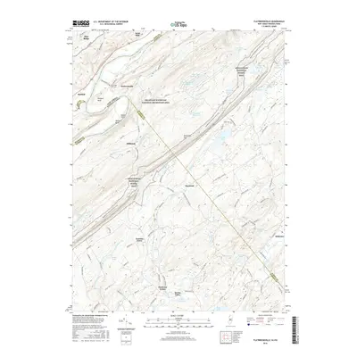
1954 Flatbrookville
Sussex County, NJ
1954 Newton East
Sussex County, NJ
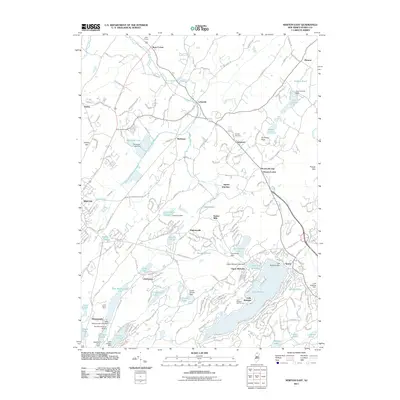
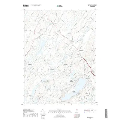
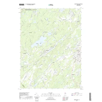
1954 Newton West
Sussex County, NJ
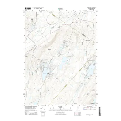
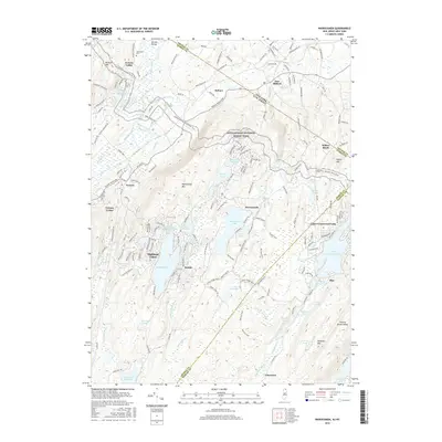
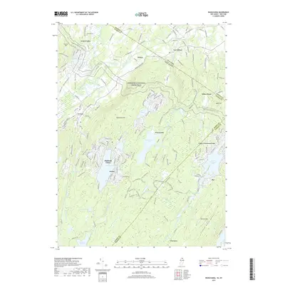
1954 Wawayanda
Sussex County, NJ
1976 Flatbrookville
Sussex County, NJ

1992 Flatbrookville
Sussex County, NJ
1994 Newton West
Sussex County, NJ
1994 Wawayanda
Sussex County, NJ
1997 Flatbrookville
Sussex County, NJ
2011 Culvers Gap
Sussex County, NJ
2011 Flatbrookville
Sussex County, NJ
2011 Newton East
Sussex County, NJ
2011 Newton West
Sussex County, NJ
2011 Wawayanda
Sussex County, NJ
2014 Culvers Gap
Sussex County, NJ
2014 Flatbrookville
Sussex County, NJ
2014 Newton East
Sussex County, NJ
2014 Newton West
Sussex County, NJ
2014 Wawayanda
Sussex County, NJ
2016 Culvers Gap
Sussex County, NJ
2016 Flatbrookville
Sussex County, NJ
2016 Newton East
Sussex County, NJ
2016 Newton West
Sussex County, NJ
2016 Wawayanda
Sussex County, NJ
2019 Culvers Gap
Sussex County, NJ
2019 Flatbrookville
Sussex County, NJ
2019 Newton East
Sussex County, NJ
2019 Newton West
Sussex County, NJ
2019 Wawayanda
Sussex County, NJ
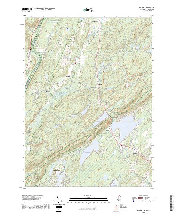
2023 Culvers Gap
Sussex County, NJ
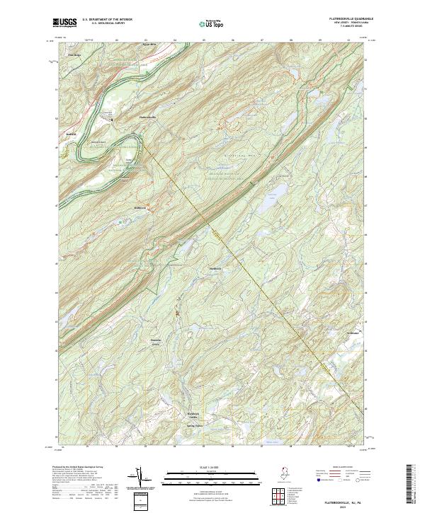
2023 Flatbrookville
Sussex County, NJ
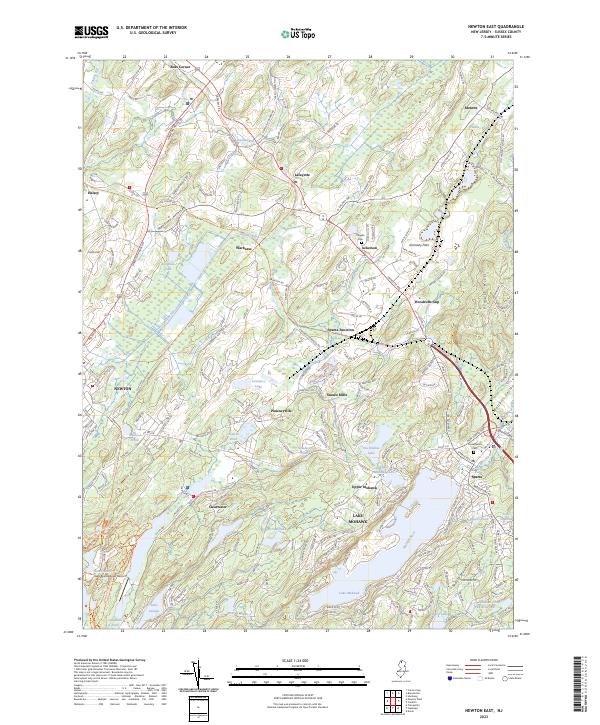
2023 Newton East
Sussex County, NJ
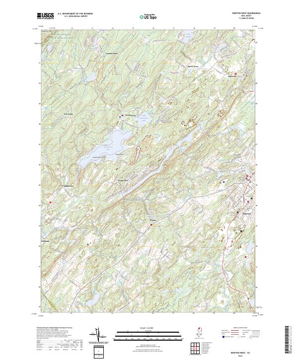
2023 Newton West
Sussex County, NJ
2023 Wawayanda
Sussex County, NJ