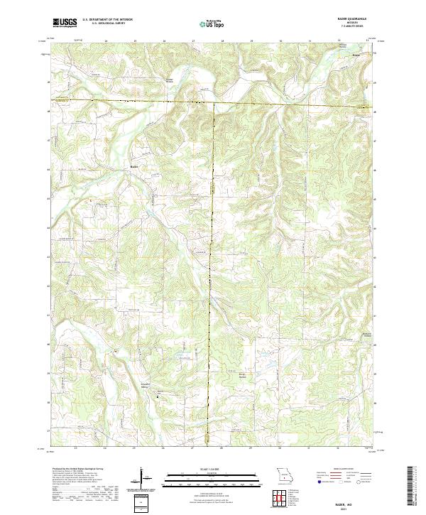
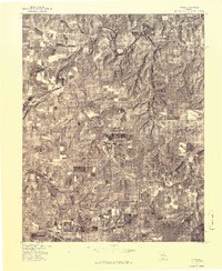
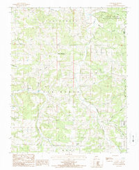
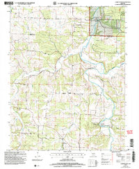
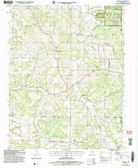
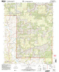
2021 Map of Rader
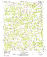
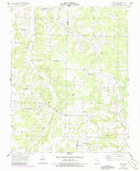
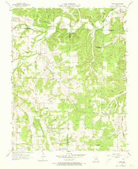
USGS Topo · Published 2021This historical map portrays the area of Rader in 2021, primarily covering Wright County as well as portions of Webster County and Laclede County. Featuring a scale of 1:24000, this map provides a highly detailed snapshot of the terrain, roads, buildings, counties, and historical landmarks in the Rader region at the time. Published in 2021, it is the sole known edition of this map.
Map Details
Editions of this 2021 Rader Map
This is the sole edition of this map. No revisions or reprints were ever made.
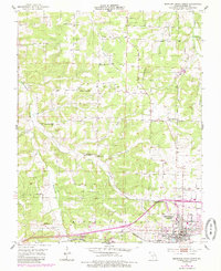
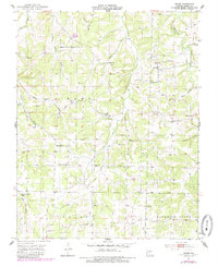
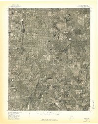
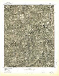
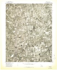
Historical Maps of Susanna Through Time
28 maps found
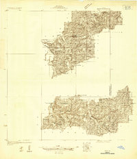
1931 Manes
Wright County, MO
1941 Manes
Wright County, MO
1943 Manes
Wright County, MO
1951 Mansfield NE
Wright County, MO
1951 Mountain Grove North
Wright County, MO
1951 Owens
Wright County, MO
1956 Duncan
Wright County, MO
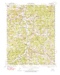
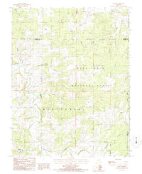
1956 Rader
Wright County, MO
1977 Duncan
Wright County, MO
1977 Mansfield NE
Wright County, MO
1977 Owens
Wright County, MO
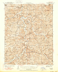
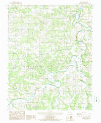
1977 Rader
Wright County, MO

1987 Competition
Wright County, MO
1987 Dawson
Wright County, MO
1987 Fuson
Wright County, MO
1987 Manes
Wright County, MO
2004 Competition
Wright County, MO
2004 Dawson
Wright County, MO
2004 Manes
Wright County, MO
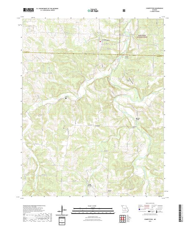
2021 Competition
Wright County, MO
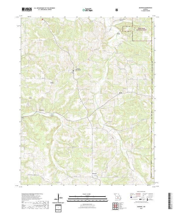
2021 Dawson
Wright County, MO
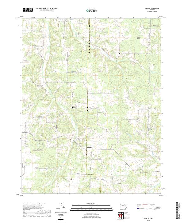
2021 Duncan
Wright County, MO
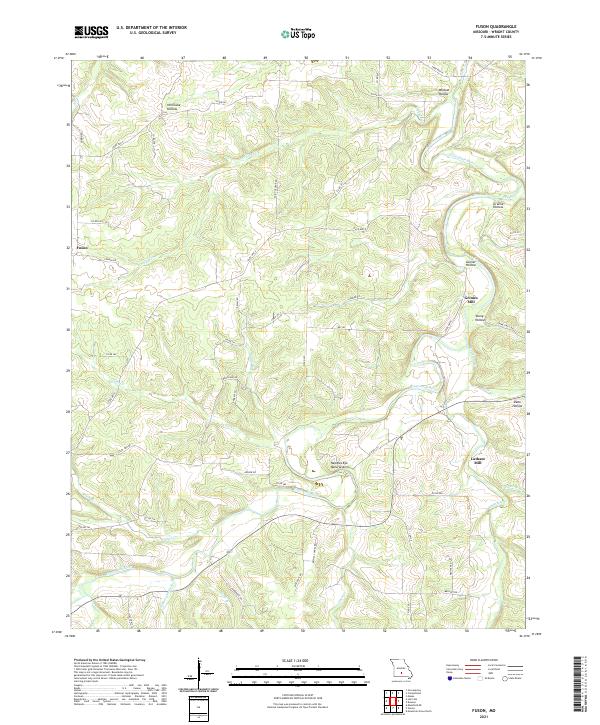
2021 Fuson
Wright County, MO
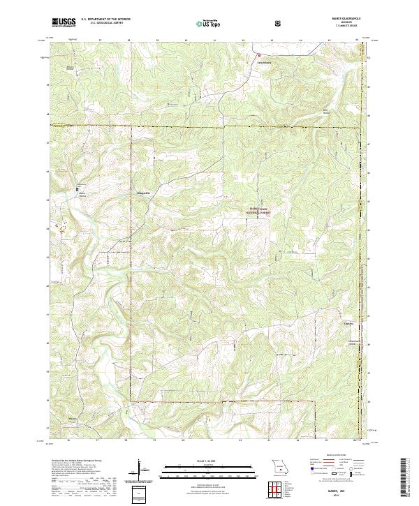
2021 Manes
Wright County, MO
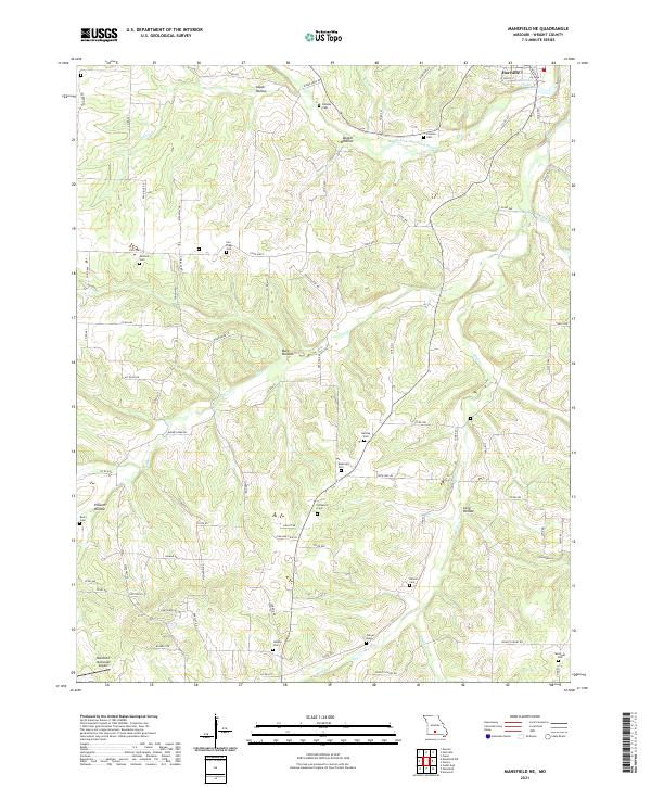
2021 Mansfield NE
Wright County, MO
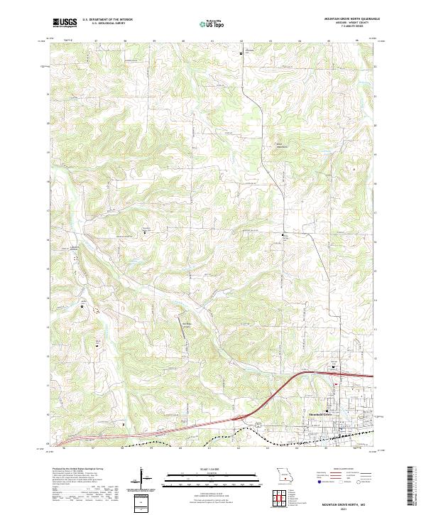
2021 Mountain Grove North
Wright County, MO
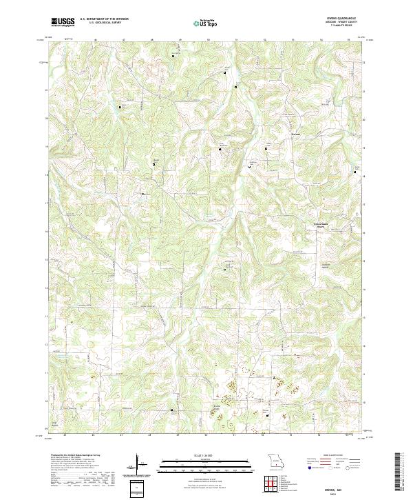
2021 Owens
Wright County, MO
2021 Rader
Wright County, MO