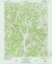
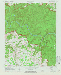
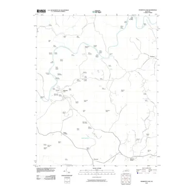
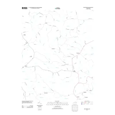
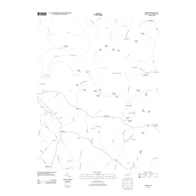
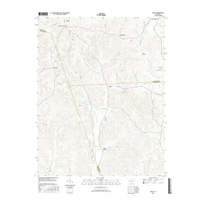
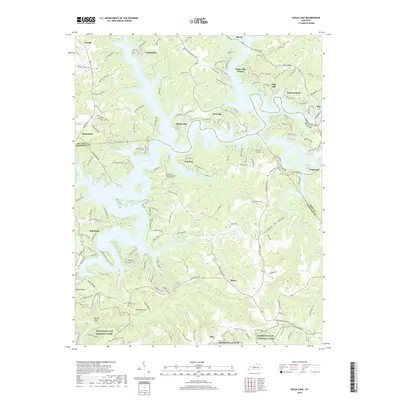
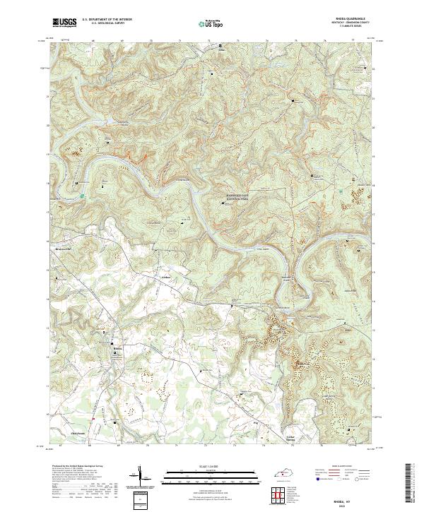
1965 Map of Rhoda
USGS Topo · Published 1967About this map
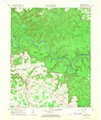
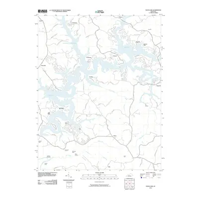
Mammoth Cave National Park dominates the northern half of this mid-1960s landscape, where the deeply entrenched Green River carves a winding path through the limestone karst. Along the river, a network of named islands and bends, including Crump Island and the dramatic Turnhole Bend, defines the fluvial geography before the era of major modern shoreline modifications. The map reveals a transition from the protected forest of the park to the agricultural and settlement patterns in the south, centered around small communities like Rhoda and Chalybeate.
Find a feature on this map
66 named features on this map. Tap any name to fly to it.
Don’t see what you’re looking for? This feature index may not catch every label — zoom into the map to look around manually.
Map Details
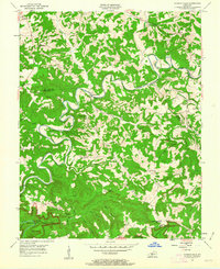
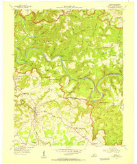
Editions of this 1965 Rhoda Map
2 editions found
Historical Maps of Brownsville Through Time
35 maps found
1922 Mammoth Cave
Edmonson County, KY
1923 Mammoth Cave
Edmonson County, KY
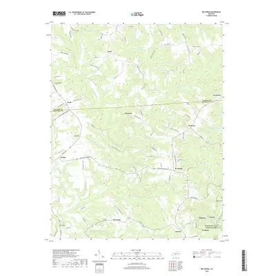
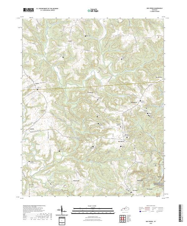
1953 Bee Spring
Edmonson County, KY
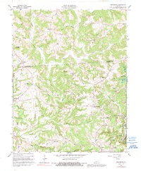
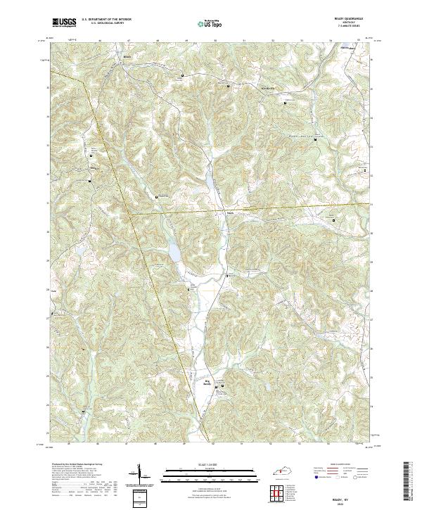
1953 Ready
Edmonson County, KY
1954 Dickeys Mills
Edmonson County, KY
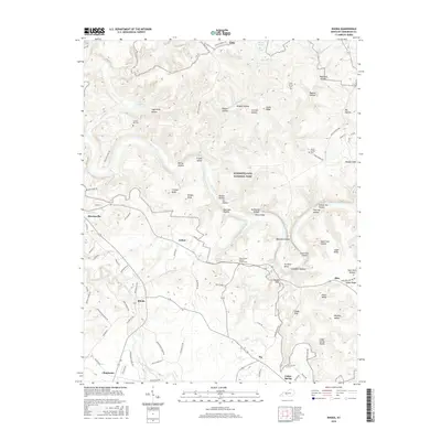
1954 Rhoda
Edmonson County, KY
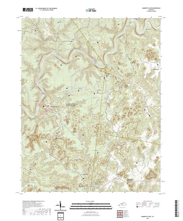
1965 Mammoth Cave
Edmonson County, KY
1965 Rhoda
Edmonson County, KY
1966 Bee Spring
Edmonson County, KY
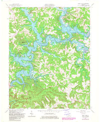
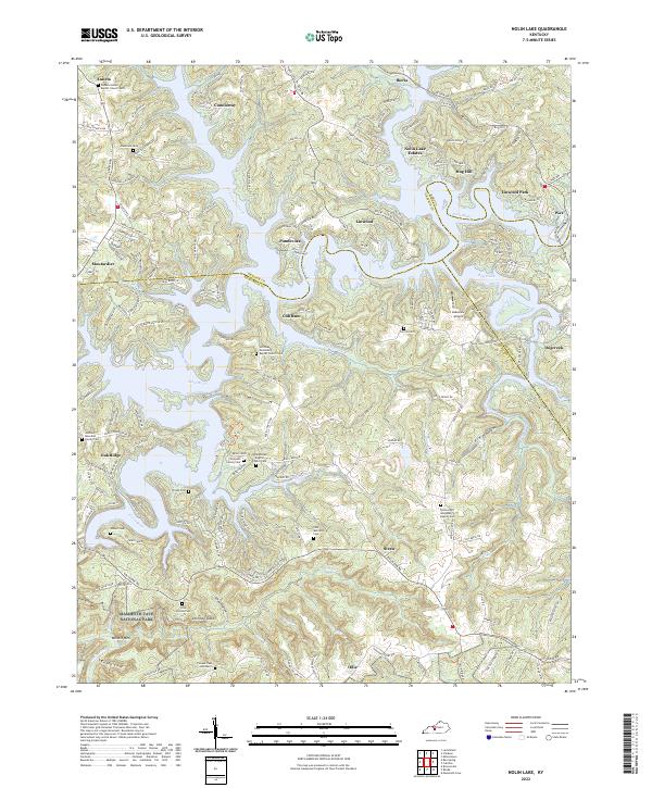
1966 Nolin Lake
Edmonson County, KY
2010 Bee Spring
Edmonson County, KY
2010 Mammoth Cave
Edmonson County, KY
2010 Nolin Lake
Edmonson County, KY
2010 Ready
Edmonson County, KY
2010 Rhoda
Edmonson County, KY
2013 Bee Spring
Edmonson County, KY
2013 Mammoth Cave
Edmonson County, KY
2013 Nolin Lake
Edmonson County, KY
2013 Ready
Edmonson County, KY
2013 Rhoda
Edmonson County, KY
2016 Bee Spring
Edmonson County, KY
2016 Mammoth Cave
Edmonson County, KY
2016 Nolin Lake
Edmonson County, KY
2016 Ready
Edmonson County, KY
2016 Rhoda
Edmonson County, KY
2019 Bee Spring
Edmonson County, KY
2019 Mammoth Cave
Edmonson County, KY
2019 Nolin Lake
Edmonson County, KY
2019 Ready
Edmonson County, KY
2019 Rhoda
Edmonson County, KY
2022 Bee Spring
Edmonson County, KY
2022 Mammoth Cave
Edmonson County, KY
2022 Nolin Lake
Edmonson County, KY
2022 Ready
Edmonson County, KY
2022 Rhoda
Edmonson County, KY