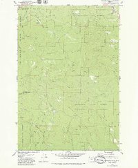
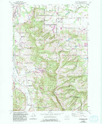
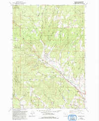
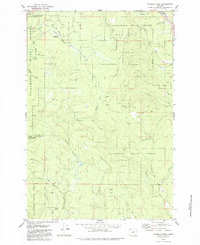
1979 Map of Roaring Creek
USGS Topo · Published 1979About this map
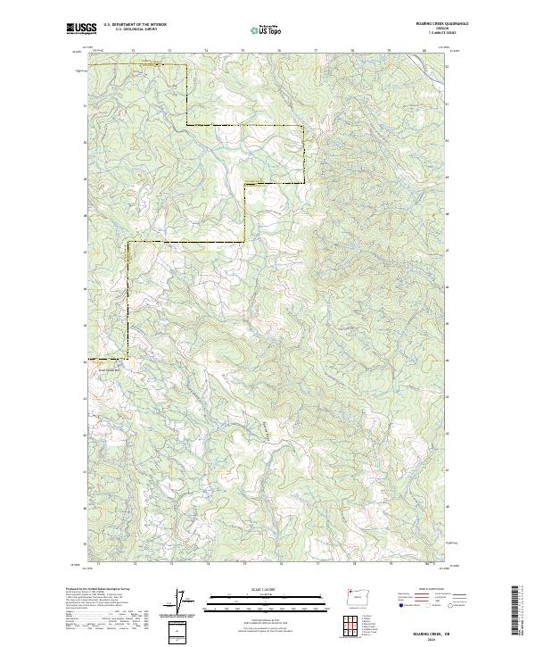
The Tillamook State Forest dominates this topographic landscape along the border of Washington and Tillamook counties. In the late 1970s, this area was defined by a dense network of timber-access infrastructure and rugged drainage basins. Recreational sites like Camp Brown Forest Park and Rogers Forest Park provide focal points for the forest's public use, while the historic route of the Old Wilson River Road traces the path of the Wilson River and its Devils Lake Fork. The map documents a strictly managed industrial forest, illustrated by the Stimson Mainline (Private) and numerous unnamed forest roads. Prominent elevations such as Saddle Mtn and Baseline Ridge rise above the headwaters of Scoggins Creek and Roaring Creek, marking the divide between major watershed systems in the Oregon Coast Range.
Find a feature on this map
35 named features on this map. Tap any name to fly to it.
Don’t see what you’re looking for? This feature index may not catch every label — zoom into the map to look around manually.
Map Details
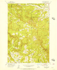
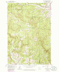
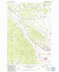
Editions of this 1979 Roaring Creek Map
2 editions found
Historical Maps of Washington County Through Time
27 maps found

1941 Gales Creek
Washington County, OR

1941 Timber
Washington County, OR
1953 Dixie Mountain
Washington County, OR
1954 Scholls
Washington County, OR
1955 Timber
Washington County, OR
1956 Laurelwood
Washington County, OR
1961 Dixie Mountain
Washington County, OR
1961 Scholls
Washington County, OR
1974 Weiser South
Washington County, OR
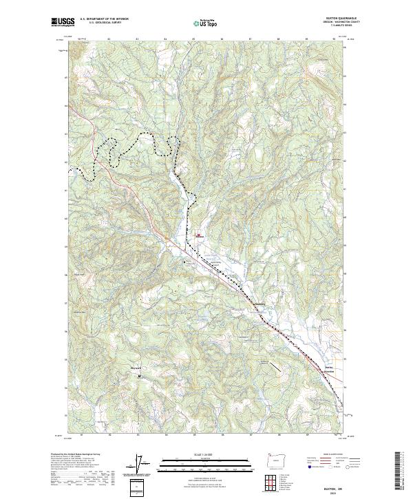
1979 Buxton
Washington County, OR
1979 Gales Creek
Washington County, OR
1979 Gobblers Knob
Washington County, OR
1979 Meacham Corner
Washington County, OR
1979 Roaring Creek
Washington County, OR
1979 Timber
Washington County, OR
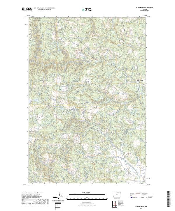
1979 Turner Creek
Washington County, OR
1990 Dixie Mountain
Washington County, OR
2023 Buxton
Washington County, OR
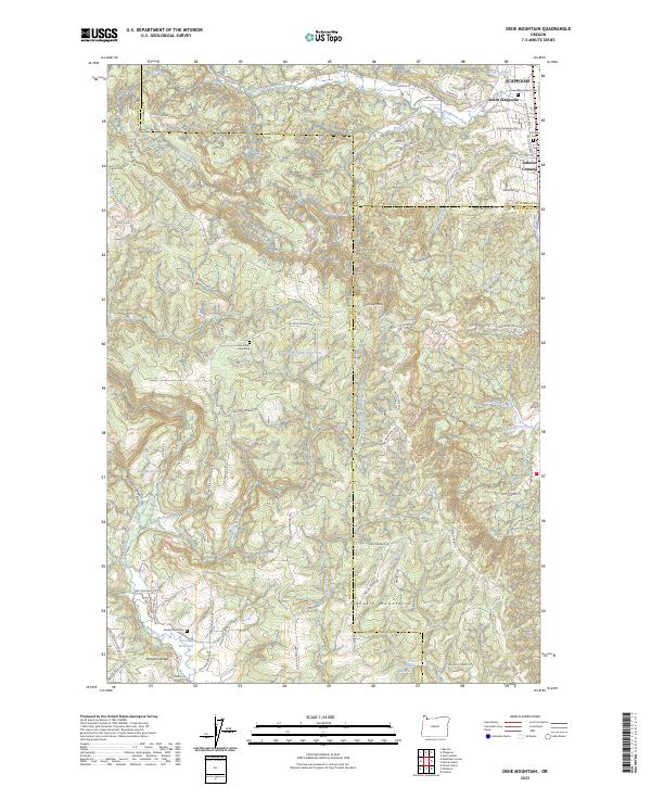
2023 Dixie Mountain
Washington County, OR
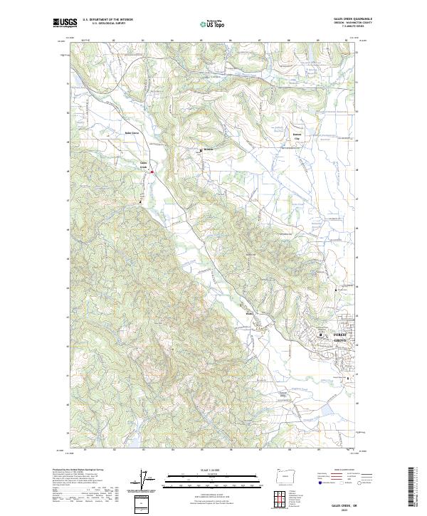
2023 Gales Creek
Washington County, OR
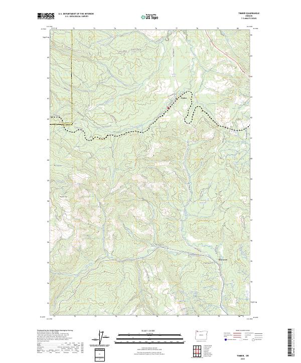
2023 Timber
Washington County, OR
2023 Turner Creek
Washington County, OR
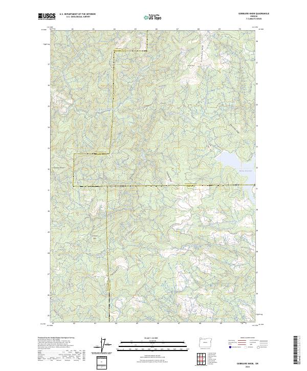
2024 Gobblers Knob
Washington County, OR
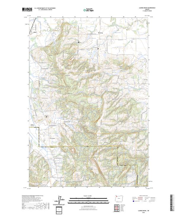
2024 Laurelwood
Washington County, OR
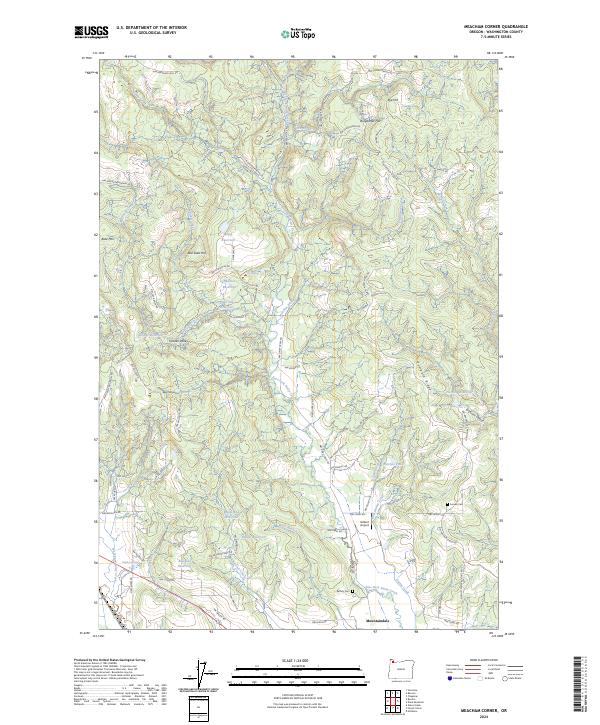
2024 Meacham Corner
Washington County, OR
2024 Roaring Creek
Washington County, OR
2024 Scholls
Washington County, OR