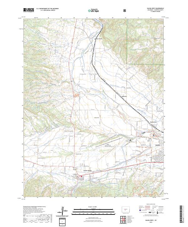
2023 Map of Salida West
USGS Topo · Published 2023About this map
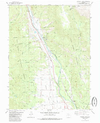
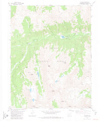
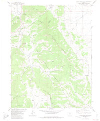
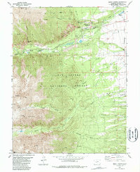
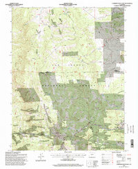
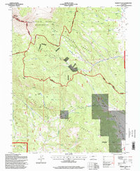
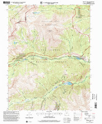
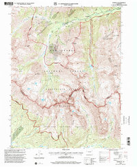
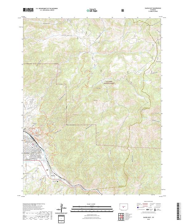
The Arkansas River valley serves as the central corridor for this 2023 survey, illustrating the complex irrigation network vital to the High Rockies. A dense system of historical water rights is mapped through numerous diversions such as the Cameron Ditch, Sunnyside Park Ditch, and Williams-Hamm Ditch, which support the settlements of Adobe Park and Missouri Park. The town of Poncha Springs sits at the junction of the South Arkansas River and Poncha Creek, while the northwestern edge of Salida is visible on the eastern margin.
Find a feature on this map
114 named features on this map. Tap any name to fly to it.
Don’t see what you’re looking for? This feature index may not catch every label — zoom into the map to look around manually.
Map Details
Editions of this 2023 Salida West Map
This is the sole edition of this map. No revisions or reprints were ever made.
Historical Maps of Poncha Springs Through Time
43 maps found
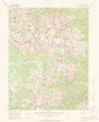
1955 Mount Harvard
Chaffee County, CO
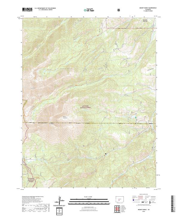
1980 Mount Ouray
Chaffee County, CO
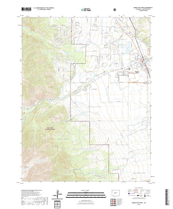
1982 Buena Vista West
Chaffee County, CO
1982 Harvard Lakes
Chaffee County, CO
1982 Marmot Peak
Chaffee County, CO
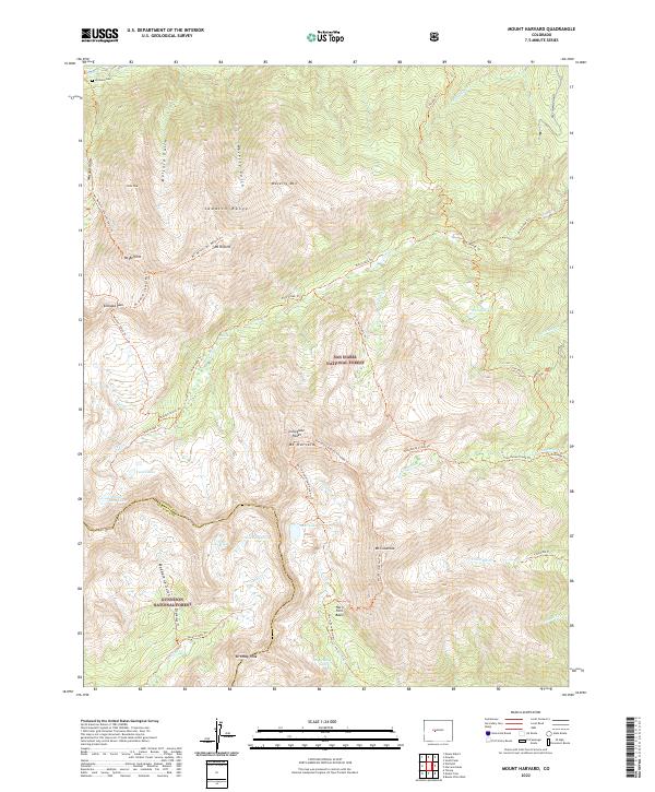
1982 Mount Harvard
Chaffee County, CO
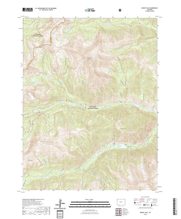
1982 Mount Yale
Chaffee County, CO
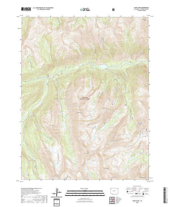
1982 Saint Elmo
Chaffee County, CO
1982 Winfield
Chaffee County, CO
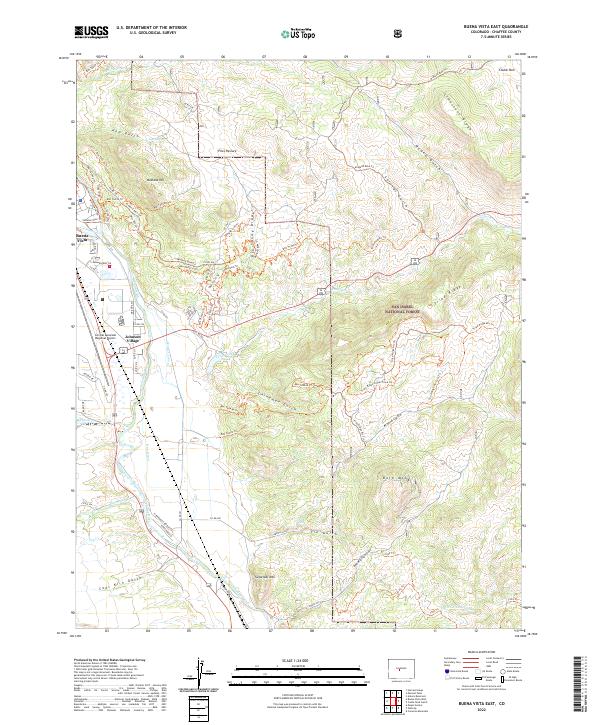
1983 Buena Vista East
Chaffee County, CO
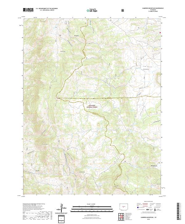
1983 Cameron Mountain
Chaffee County, CO
1983 Castle Rock Gulch
Chaffee County, CO
1983 Mount Antero
Chaffee County, CO
1983 Salida East
Chaffee County, CO
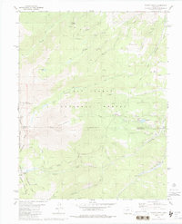
1983 Salida West
Chaffee County, CO

1994 Buena Vista East
Chaffee County, CO
1994 Buena Vista West
Chaffee County, CO
1994 Cameron Mountain
Chaffee County, CO
1994 Castle Rock Gulch
Chaffee County, CO
1994 Harvard Lakes
Chaffee County, CO
1994 Marmot Peak
Chaffee County, CO
1994 Mount Antero
Chaffee County, CO
1994 Mount Harvard
Chaffee County, CO
1994 Mount Ouray
Chaffee County, CO
1994 Mount Yale
Chaffee County, CO
1994 Saint Elmo
Chaffee County, CO
1994 Salida East
Chaffee County, CO
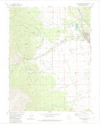
1994 Salida West
Chaffee County, CO
1994 Winfield
Chaffee County, CO
2022 Buena Vista East
Chaffee County, CO
2022 Buena Vista West
Chaffee County, CO
2022 Cameron Mountain
Chaffee County, CO
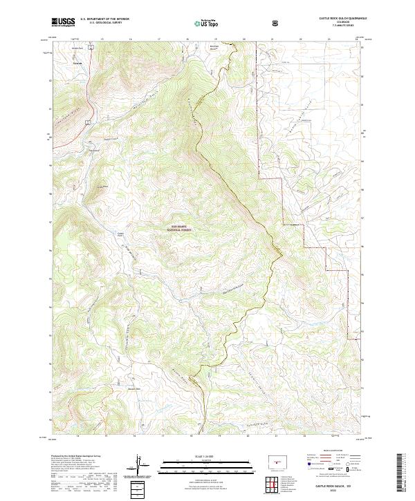
2022 Castle Rock Gulch
Chaffee County, CO
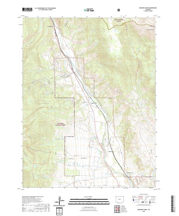
2022 Harvard Lakes
Chaffee County, CO
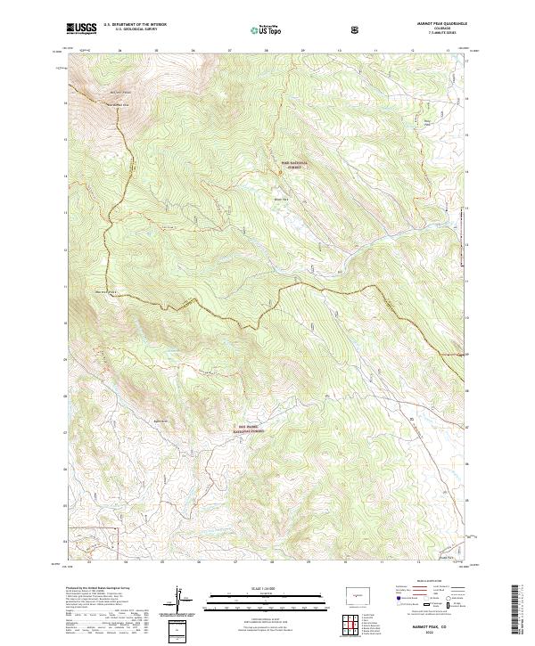
2022 Marmot Peak
Chaffee County, CO
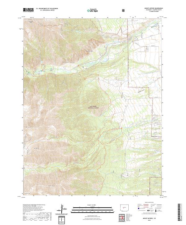
2022 Mount Antero
Chaffee County, CO
2022 Mount Harvard
Chaffee County, CO
2022 Mount Ouray
Chaffee County, CO
2022 Mount Yale
Chaffee County, CO
2022 Saint Elmo
Chaffee County, CO
2022 Salida East
Chaffee County, CO
2022 Winfield
Chaffee County, CO
2023 Salida West
Chaffee County, CO