
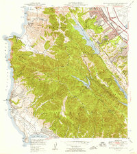
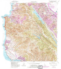
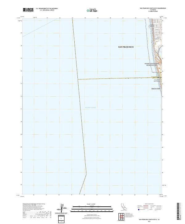
2021 Map of San Francisco South
USGS Topo · Published 2021This historical map portrays the area of San Francisco South in 2021, primarily covering San Mateo County as well as portions of San Francisco. Featuring a scale of 1:24000, this map provides a highly detailed snapshot of the terrain, roads, buildings, counties, and historical landmarks in the San Francisco South region at the time. Published in 2021, it is the sole known edition of this map.
Map Details
Editions of this 2021 San Francisco South Map
This is the sole edition of this map. No revisions or reprints were ever made.
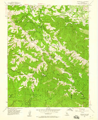
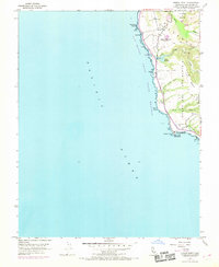
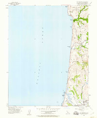
Historical Maps of Castle Hill Through Time
41 maps found

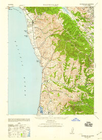
1940 Ano Nuevo
San Mateo County, CA
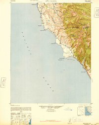
1940 Halfmoon Bay
San Mateo County, CA

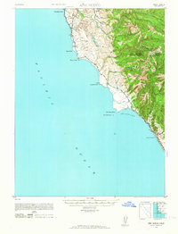
1941 Ano Nuevo Pt.
San Mateo County, CA
1942 Ano Nuevo
San Mateo County, CA

1943 Halfmoon Bay
San Mateo County, CA

1947 San Francisco South
San Mateo County, CA
1948 Ano Nuevo
San Mateo County, CA

1948 Redwood Point
San Mateo County, CA
1949 Montara Mountain
San Mateo County, CA

1950 San Francisco South
San Mateo County, CA
1955 Franklin Point
San Mateo County, CA
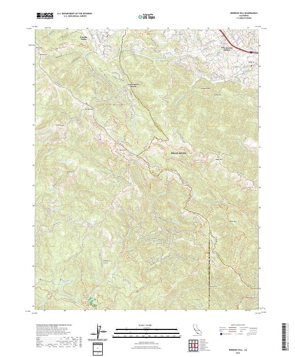
1955 Mindego Hill
San Mateo County, CA
1955 Pigeon Point
San Mateo County, CA
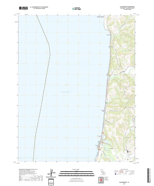
1955 San Gregorio
San Mateo County, CA
1956 Montara Mountain
San Mateo County, CA
1956 San Francisco South
San Mateo County, CA
1959 Redwood Point
San Mateo County, CA
1961 Mindego Hill
San Mateo County, CA
1961 San Gregorio
San Mateo County, CA
1991 Franklin Point
San Mateo County, CA
1991 Mindego Hill
San Mateo County, CA
1991 Pigeon Point
San Mateo County, CA

1991 San Gregorio
San Mateo County, CA

1993 Montara Mountain
San Mateo County, CA

1993 Redwood Point
San Mateo County, CA

1993 San Francisco South
San Mateo County, CA

1995 San Francisco South
San Mateo County, CA

1997 Mindego Hill
San Mateo County, CA

1997 Montara Mountain
San Mateo County, CA

1997 San Gregorio
San Mateo County, CA

1998 Franklin Point
San Mateo County, CA
1998 Pigeon Point
San Mateo County, CA
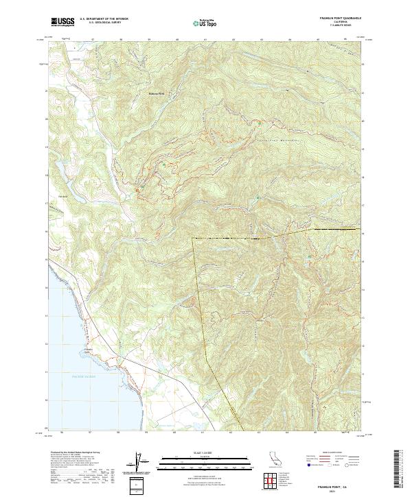
2021 Franklin Point
San Mateo County, CA
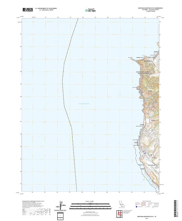
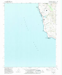
2021 Montara Mountain OE W
San Mateo County, CA
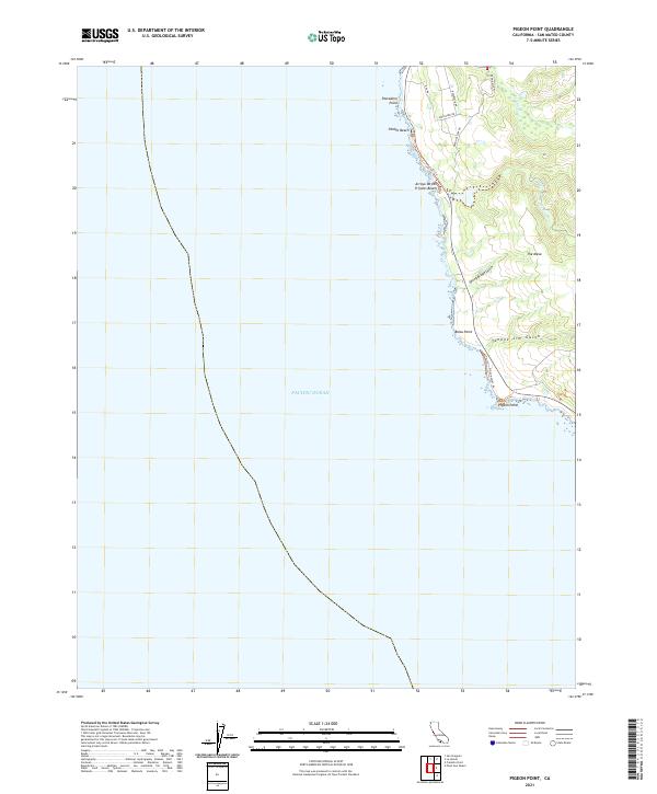
2021 Pigeon Point
San Mateo County, CA
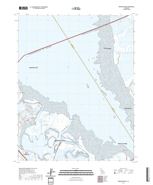
2021 Redwood Point
San Mateo County, CA
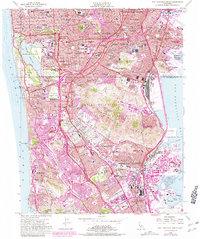
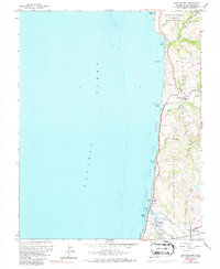
2021 San Francisco South OE W
San Mateo County, CA
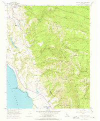
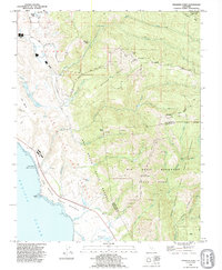
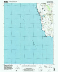
2021 San Francisco South
San Mateo County, CA
2022 Mindego Hill
San Mateo County, CA
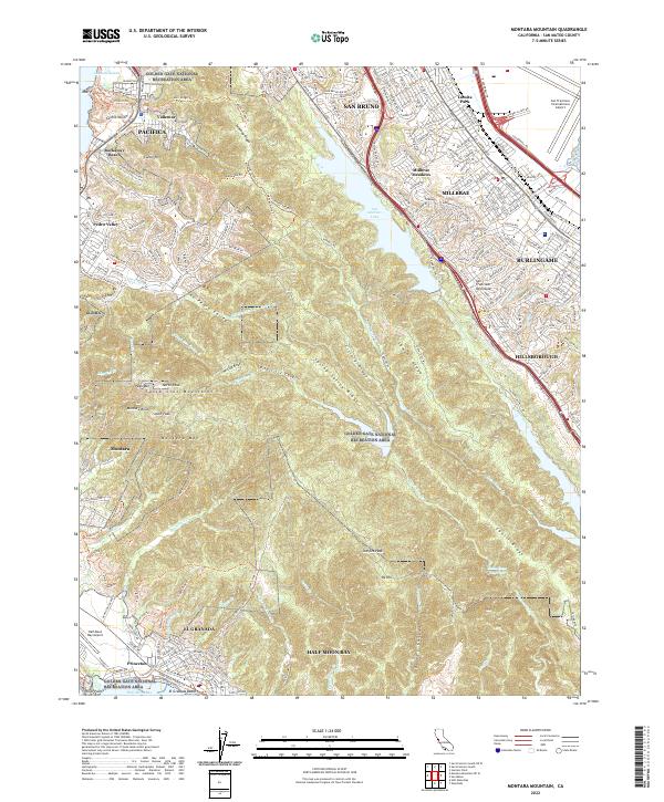
2022 Montara Mountain
San Mateo County, CA
2022 San Gregorio
San Mateo County, CA