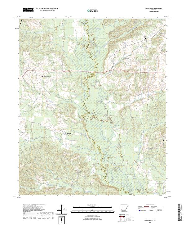
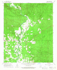
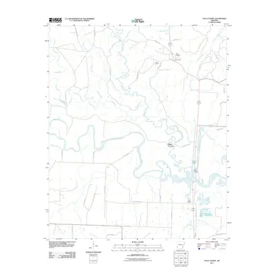
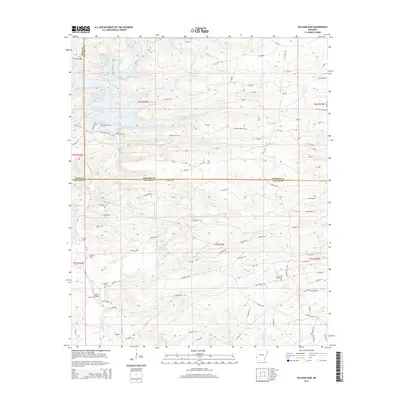
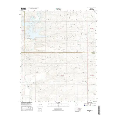
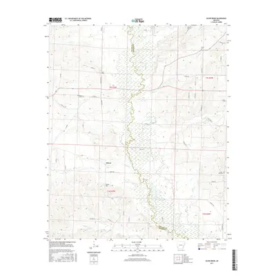
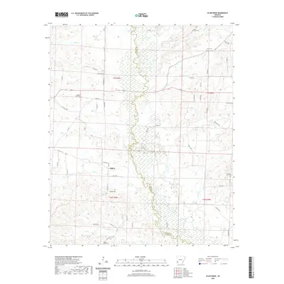
2024 Map of Silver Ridge
USGS Topo · Published 2024About this map
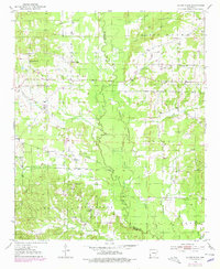
The Saline River forms a wandering boundary between Sevier and Howard counties, anchoring a landscape defined by its creek bottoms and high ridges. Near the center of the sheet, the settlement of Milford and the nearby rise of Steele Hill provide focal points for local history researchers. The area is particularly rich in family and community burial grounds, from Mount Carmen Cem in the northeast to Wrights Chapel Cem and its accompanying chapel near the southern bend of Sand Creek. Smaller markers of the rural landscape like Kingree Chapel Cem and Hickory Grove Cem are tucked away near local thoroughfares such as Church Ln and Milford Church Rd. The drainage network is dense, featuring slow-moving waters like Cypress Slough and Cook Branch, which suggest the low-lying, often inundated character of the river valley floor.
Find a feature on this map
58 named features on this map. Tap any name to fly to it.
Don’t see what you’re looking for? This feature index may not catch every label — zoom into the map to look around manually.
Map Details
Editions of this 2024 Silver Ridge Map
This is the sole edition of this map. No revisions or reprints were ever made.
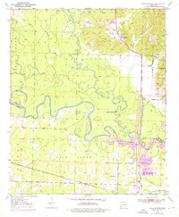
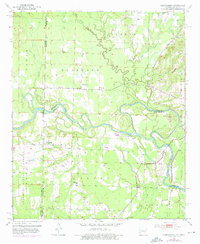
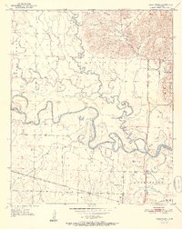
Historical Maps of Milford Through Time
43 maps found
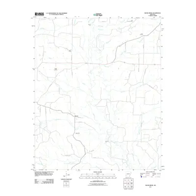
1950 Falls Chapel
Sevier County, AR
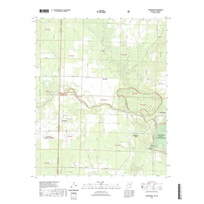
1951 Cerrogordo
Sevier County, AR
1951 Falls Chapel
Sevier County, AR
1951 Silver Ridge
Sevier County, AR
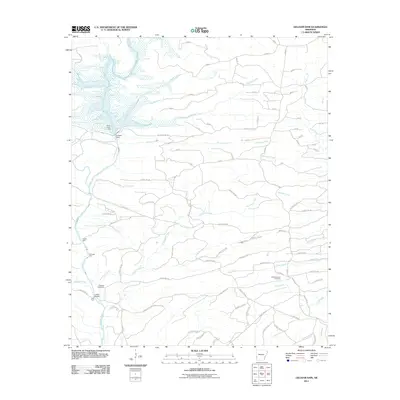
1964 Gillham Dam
Sevier County, AR
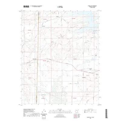
1965 Chapel Hill
Sevier County, AR
1966 De Queen NW
Sevier County, AR
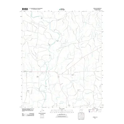
1966 Geneva
Sevier County, AR
2011 Cerrogordo
Sevier County, AR
2011 Chapel Hill
Sevier County, AR
2011 De Queen NW
Sevier County, AR
2011 Falls Chapel
Sevier County, AR
2011 Geneva
Sevier County, AR
2011 Gillham Dam
Sevier County, AR
2011 Silver Ridge
Sevier County, AR
2014 Cerrogordo
Sevier County, AR
2014 Chapel Hill
Sevier County, AR
2014 De Queen NW
Sevier County, AR
2014 Falls Chapel
Sevier County, AR

2014 Geneva
Sevier County, AR
2014 Gillham Dam
Sevier County, AR
2014 Silver Ridge
Sevier County, AR
2017 Cerrogordo
Sevier County, AR
2017 Chapel Hill
Sevier County, AR
2017 De Queen NW
Sevier County, AR
2017 Falls Chapel
Sevier County, AR
2017 Geneva
Sevier County, AR
2017 Gillham Dam
Sevier County, AR
2017 Silver Ridge
Sevier County, AR
2020 Cerrogordo
Sevier County, AR
2020 Chapel Hill
Sevier County, AR
2020 De Queen NW
Sevier County, AR
2020 Falls Chapel
Sevier County, AR
2020 Geneva
Sevier County, AR
2020 Gillham Dam
Sevier County, AR
2020 Silver Ridge
Sevier County, AR
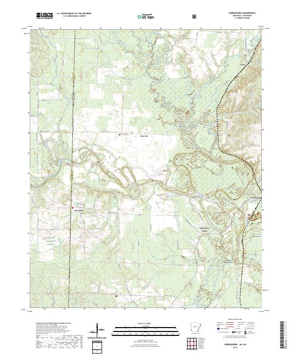
2024 Cerrogordo
Sevier County, AR
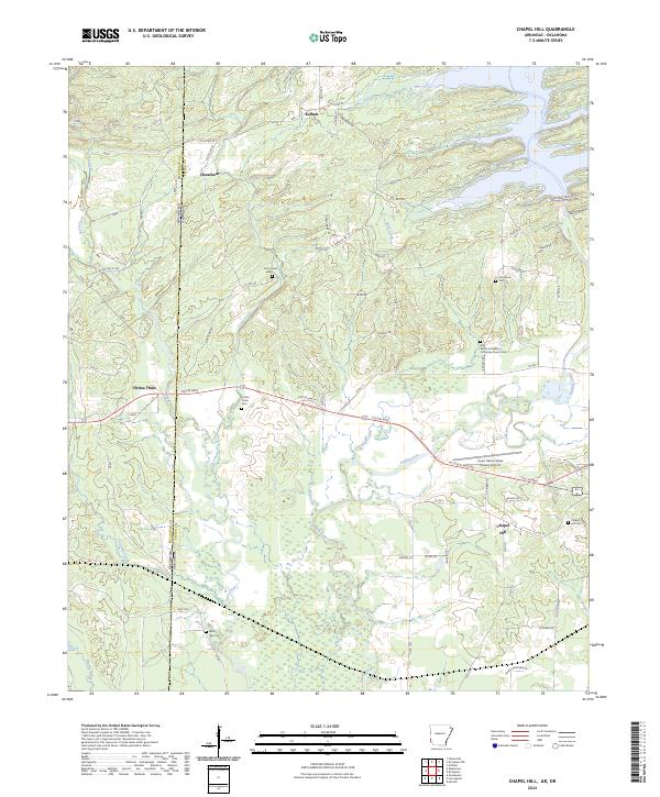
2024 Chapel Hill
Sevier County, AR
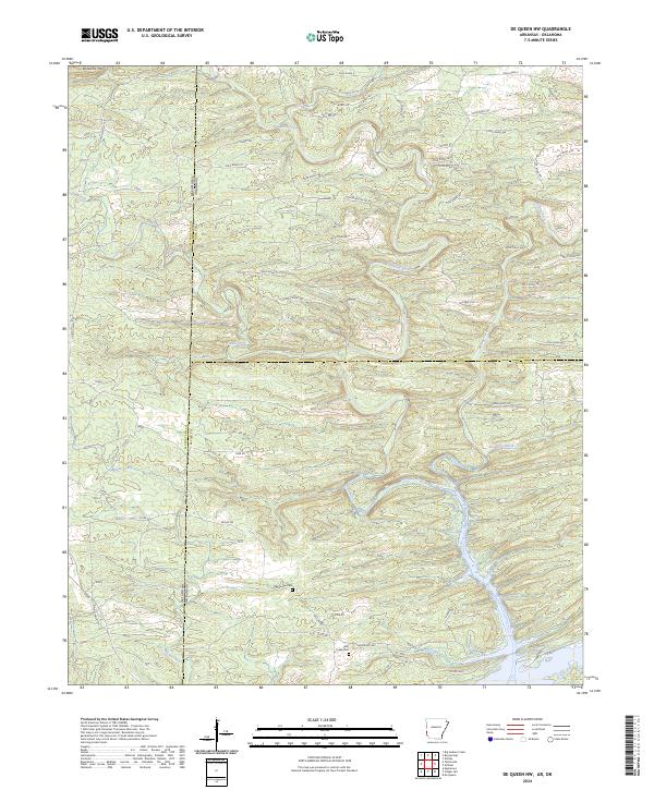
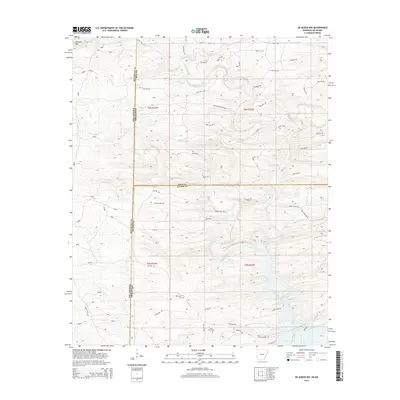
2024 De Queen NW
Sevier County, AR
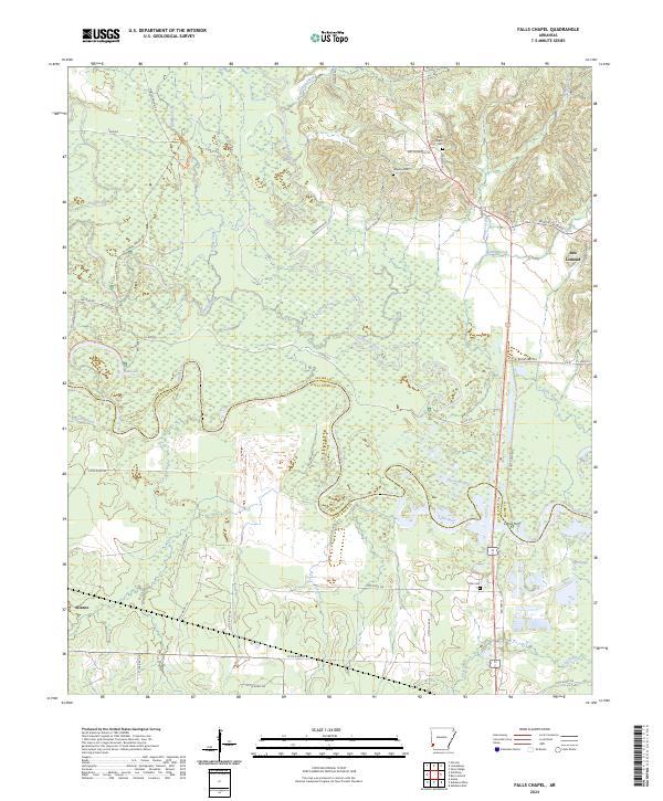
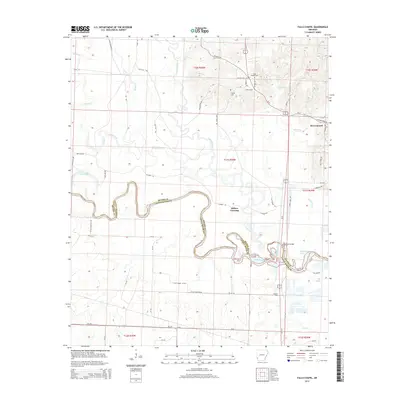
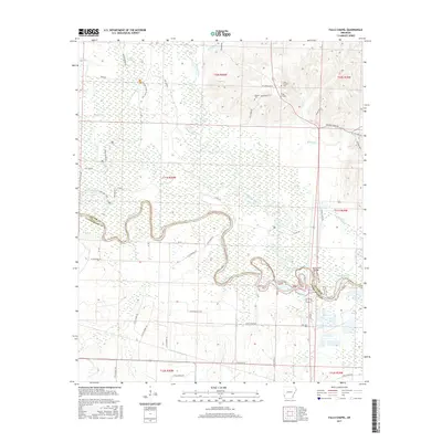
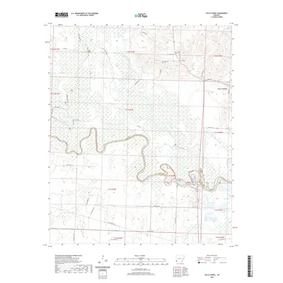
2024 Falls Chapel
Sevier County, AR
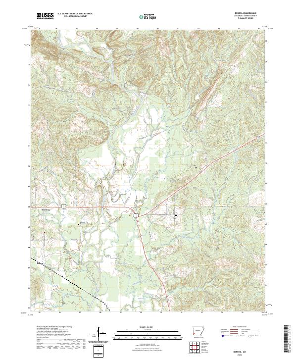
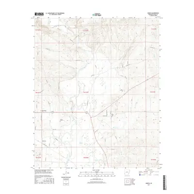
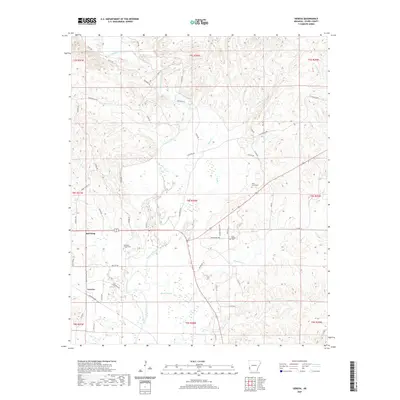
2024 Geneva
Sevier County, AR
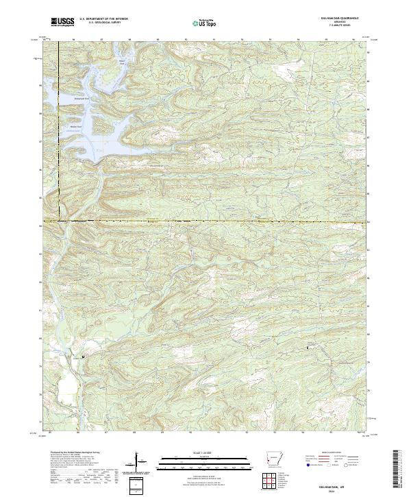
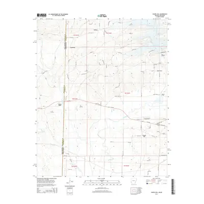
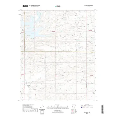
2024 Gillham Dam
Sevier County, AR
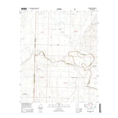
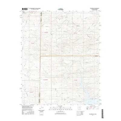
2024 Silver Ridge
Sevier County, AR