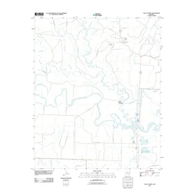
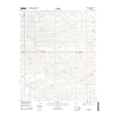
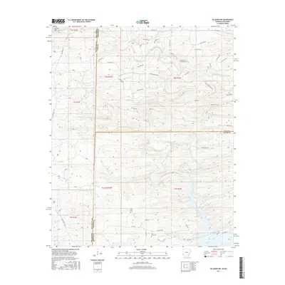
1966 Map of De Queen NW
USGS Topo · Published 1981About this map
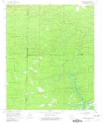
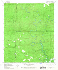
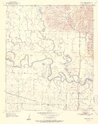
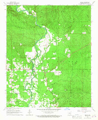
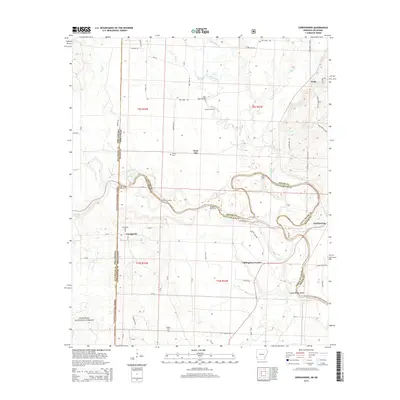
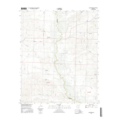
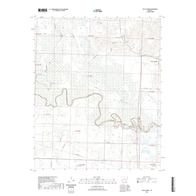
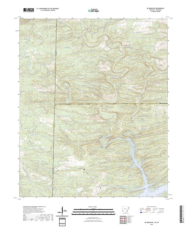
Eagle Mountain and Williams Mtn overlook a complex watershed where the state boundaries of Arkansas and Oklahoma meet. The landscape is defined by the winding course of Robinson Creek and the Rolling Fork, which flow southward toward the emerging De Queen Lake. This mid-century survey captures the area as it prepared for controlled inundation, with blue hatching indicating the future extent of the reservoir. Cultural markers such as Oak Grove Cem and Mill Creek Cem sit near established watercourses like Mill Creek, reflecting the early settlement patterns of Sevier County. A long Pipeline cuts across the western terrain, contrasting with the natural drainage of Cane Creek and Ash Creek. The map records a specific transitional moment in the local geography, documenting the terrain before the full impact of the lake development.
Find a feature on this map
26 named features on this map. Tap any name to fly to it.
Don’t see what you’re looking for? This feature index may not catch every label — zoom into the map to look around manually.
Map Details
Editions of this 1966 De Queen NW Map
2 editions found
Historical Maps of McCurtain County Through Time
43 maps found
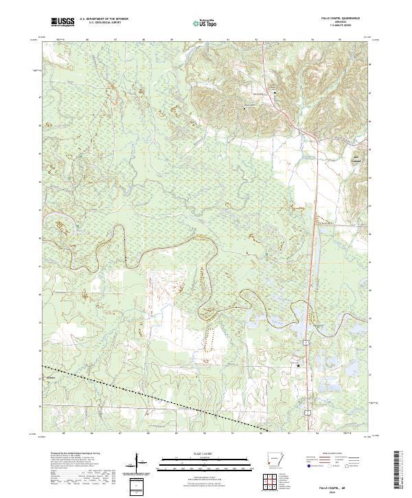
1950 Falls Chapel
Sevier County, AR
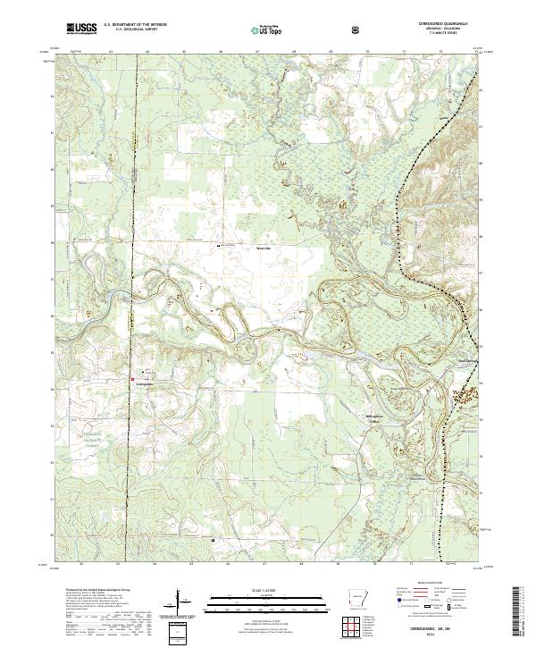
1951 Cerrogordo
Sevier County, AR
1951 Falls Chapel
Sevier County, AR
1951 Silver Ridge
Sevier County, AR
1964 Gillham Dam
Sevier County, AR
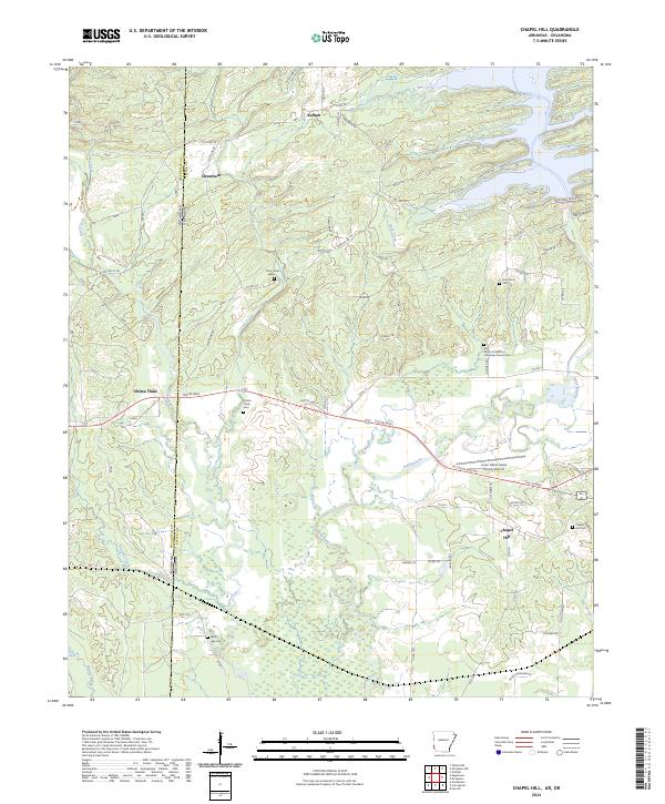
1965 Chapel Hill
Sevier County, AR
1966 De Queen NW
Sevier County, AR
1966 Geneva
Sevier County, AR
2011 Cerrogordo
Sevier County, AR
2011 Chapel Hill
Sevier County, AR
2011 De Queen NW
Sevier County, AR
2011 Falls Chapel
Sevier County, AR
2011 Geneva
Sevier County, AR
2011 Gillham Dam
Sevier County, AR
2011 Silver Ridge
Sevier County, AR
2014 Cerrogordo
Sevier County, AR
2014 Chapel Hill
Sevier County, AR
2014 De Queen NW
Sevier County, AR
2014 Falls Chapel
Sevier County, AR

2014 Geneva
Sevier County, AR
2014 Gillham Dam
Sevier County, AR
2014 Silver Ridge
Sevier County, AR
2017 Cerrogordo
Sevier County, AR
2017 Chapel Hill
Sevier County, AR
2017 De Queen NW
Sevier County, AR
2017 Falls Chapel
Sevier County, AR
2017 Geneva
Sevier County, AR
2017 Gillham Dam
Sevier County, AR
2017 Silver Ridge
Sevier County, AR
2020 Cerrogordo
Sevier County, AR
2020 Chapel Hill
Sevier County, AR
2020 De Queen NW
Sevier County, AR
2020 Falls Chapel
Sevier County, AR
2020 Geneva
Sevier County, AR
2020 Gillham Dam
Sevier County, AR
2020 Silver Ridge
Sevier County, AR
2024 Cerrogordo
Sevier County, AR
2024 Chapel Hill
Sevier County, AR
2024 De Queen NW
Sevier County, AR
2024 Falls Chapel
Sevier County, AR
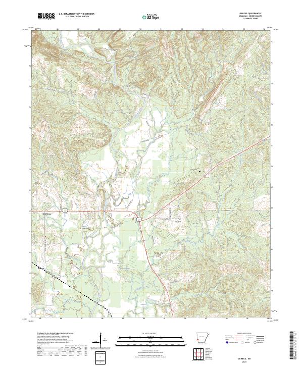
2024 Geneva
Sevier County, AR
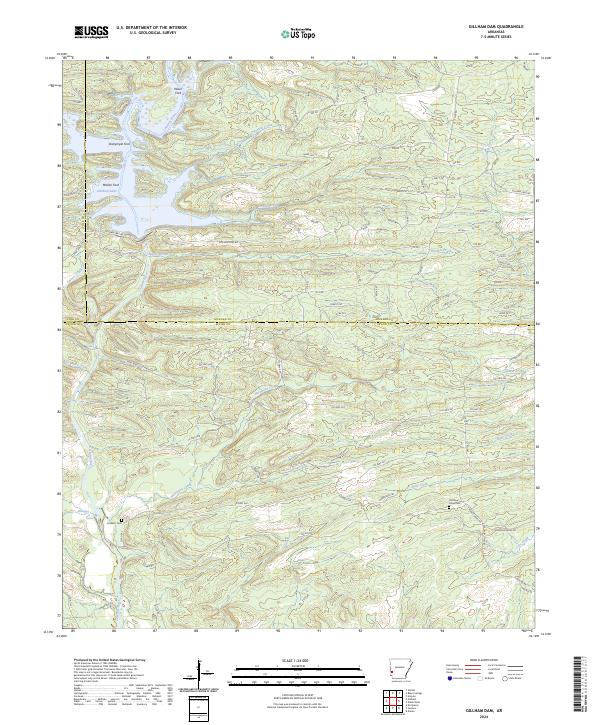
2024 Gillham Dam
Sevier County, AR
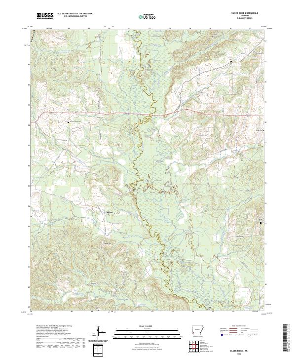
2024 Silver Ridge
Sevier County, AR