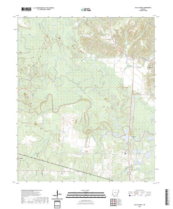
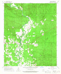
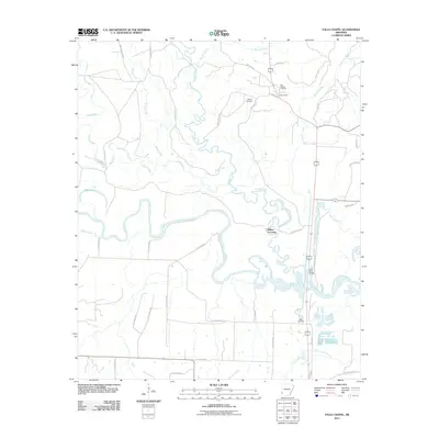
2024 Map of Falls Chapel
USGS Topo · Published 2024About this map
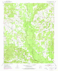
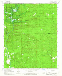
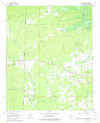
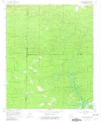
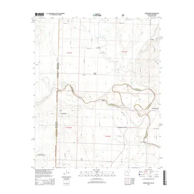
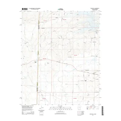
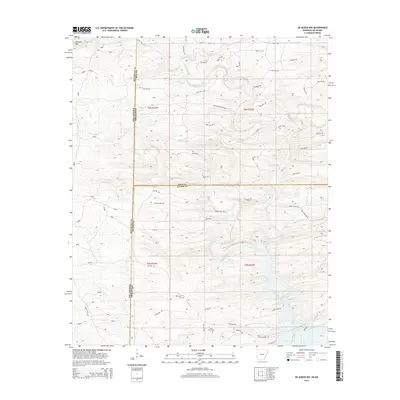
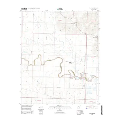
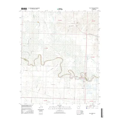
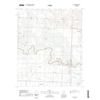
The Cossatot River and Little River converge in a labyrinth of oxbows and sloughs defining the border between Sevier and Little River Counties. This low-lying riverine landscape is dominated by the Pond Creek National Wildlife Refuge, where features like Red Lake and the Gossatot River reflect the shifting hydrology of the bottomlands. The map documents the human footprint on the surrounding higher ground, notably at the small settlement of Ben Lomond and the dispersed community around Alleene. Local history is anchored by several sites of genealogical interest, including Falls Chapel Cem, Hopson Cem, and Mills Cem. The complex road network, from named routes like Nobles Mound Rd to numerous timber and access roads, illustrates the continued navigation of this river-braided terrain.
Find a feature on this map
60 named features on this map. Tap any name to fly to it.
Don’t see what you’re looking for? This feature index may not catch every label — zoom into the map to look around manually.
Map Details
Editions of this 2024 Falls Chapel Map
This is the sole edition of this map. No revisions or reprints were ever made.
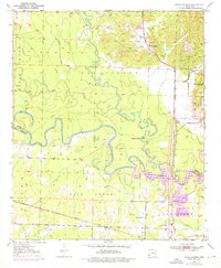
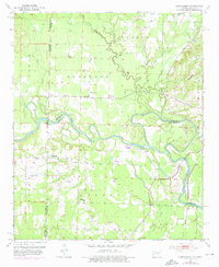
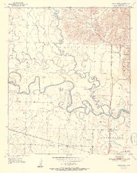
Historical Maps of Ben Lomond Through Time
43 maps found
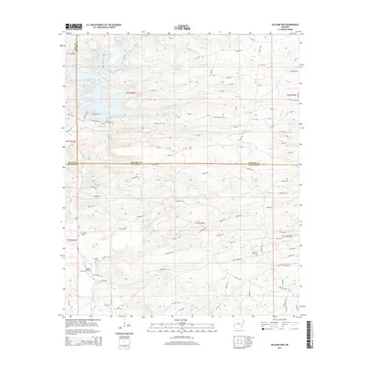
1950 Falls Chapel
Sevier County, AR
1951 Cerrogordo
Sevier County, AR
1951 Falls Chapel
Sevier County, AR
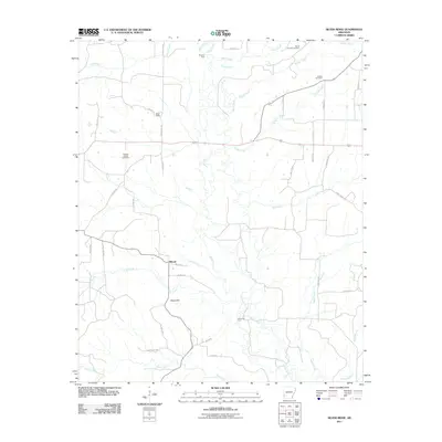
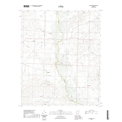
1951 Silver Ridge
Sevier County, AR
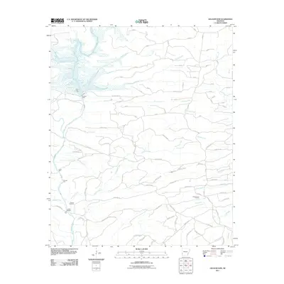
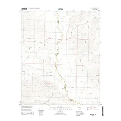
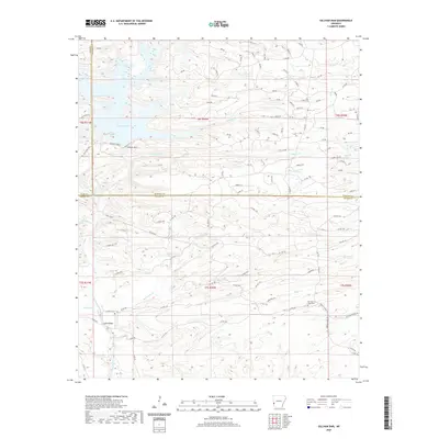
1964 Gillham Dam
Sevier County, AR
1965 Chapel Hill
Sevier County, AR
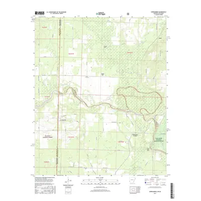
1966 De Queen NW
Sevier County, AR
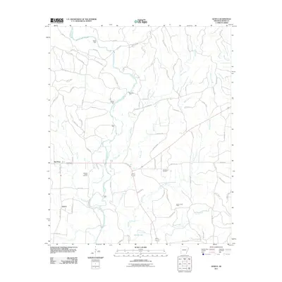
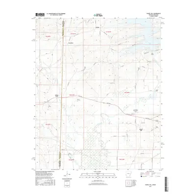
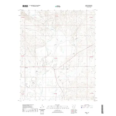
1966 Geneva
Sevier County, AR
2011 Cerrogordo
Sevier County, AR
2011 Chapel Hill
Sevier County, AR
2011 De Queen NW
Sevier County, AR
2011 Falls Chapel
Sevier County, AR
2011 Geneva
Sevier County, AR
2011 Gillham Dam
Sevier County, AR
2011 Silver Ridge
Sevier County, AR
2014 Cerrogordo
Sevier County, AR
2014 Chapel Hill
Sevier County, AR
2014 De Queen NW
Sevier County, AR
2014 Falls Chapel
Sevier County, AR

2014 Geneva
Sevier County, AR
2014 Gillham Dam
Sevier County, AR
2014 Silver Ridge
Sevier County, AR
2017 Cerrogordo
Sevier County, AR
2017 Chapel Hill
Sevier County, AR
2017 De Queen NW
Sevier County, AR
2017 Falls Chapel
Sevier County, AR
2017 Geneva
Sevier County, AR
2017 Gillham Dam
Sevier County, AR
2017 Silver Ridge
Sevier County, AR
2020 Cerrogordo
Sevier County, AR
2020 Chapel Hill
Sevier County, AR
2020 De Queen NW
Sevier County, AR
2020 Falls Chapel
Sevier County, AR
2020 Geneva
Sevier County, AR
2020 Gillham Dam
Sevier County, AR
2020 Silver Ridge
Sevier County, AR
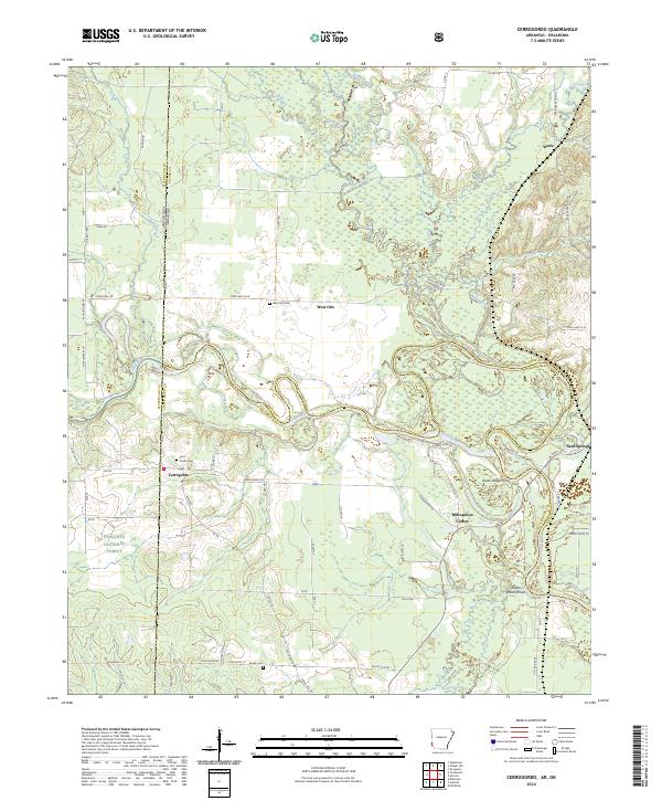
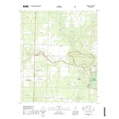
2024 Cerrogordo
Sevier County, AR
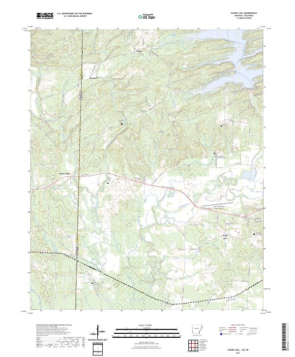
2024 Chapel Hill
Sevier County, AR
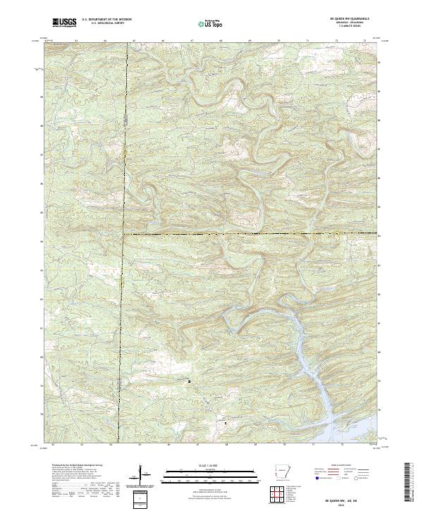
2024 De Queen NW
Sevier County, AR
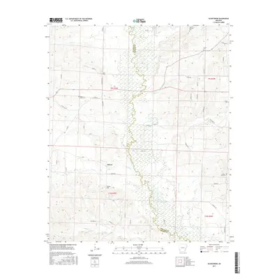
2024 Falls Chapel
Sevier County, AR
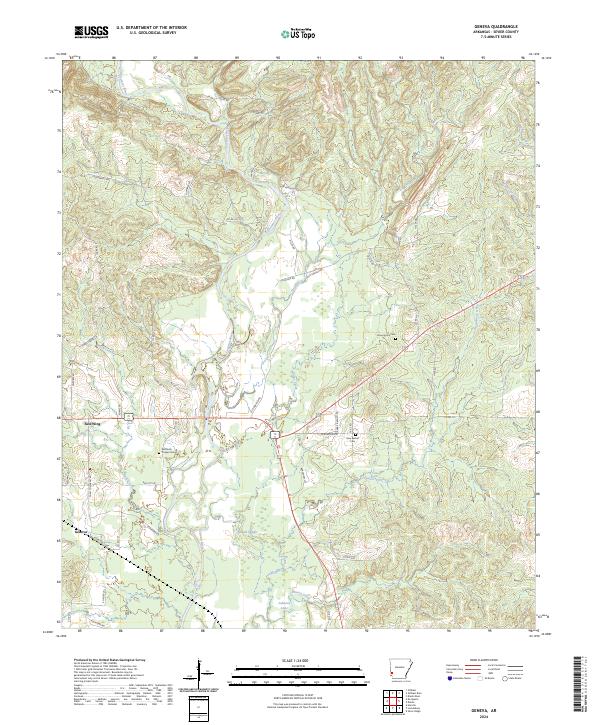
2024 Geneva
Sevier County, AR
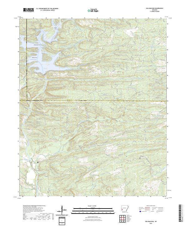
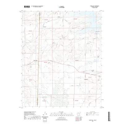
2024 Gillham Dam
Sevier County, AR
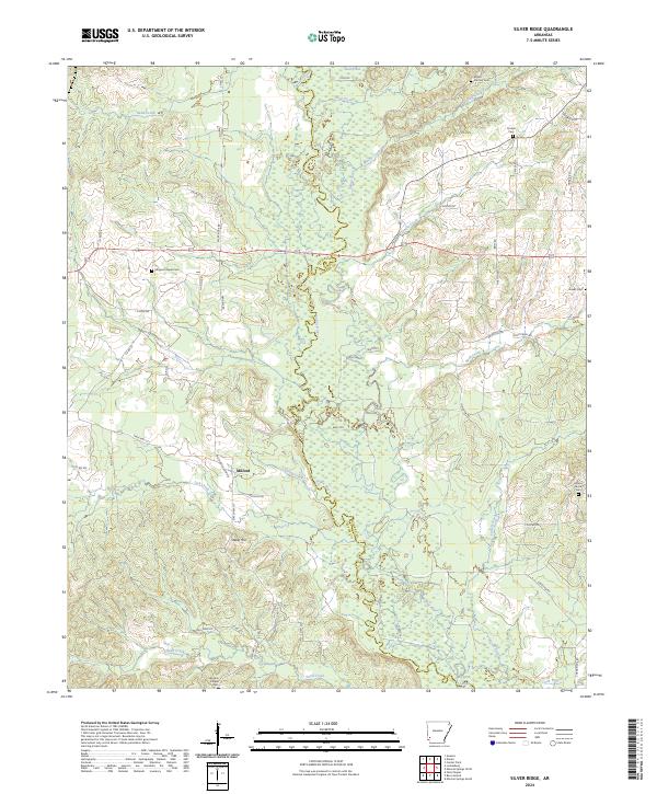
2024 Silver Ridge
Sevier County, AR