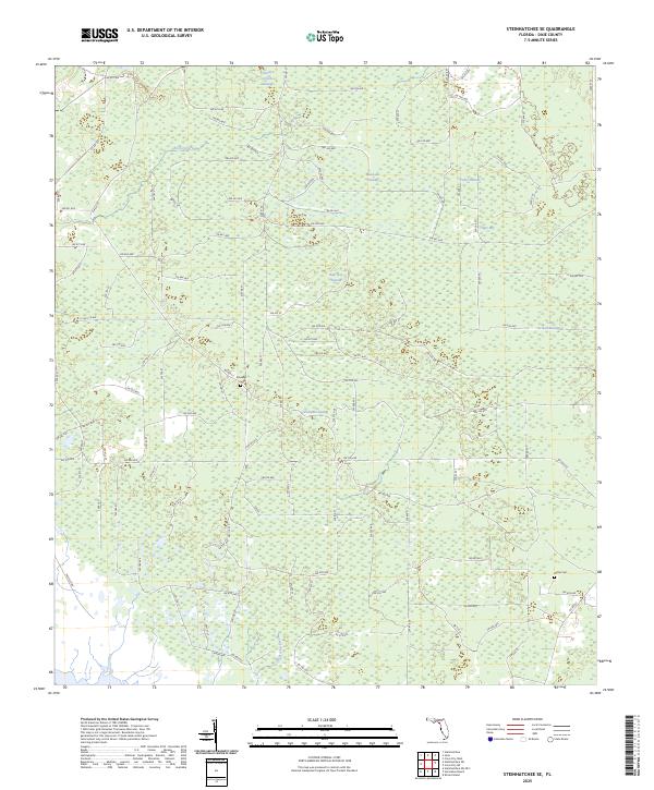
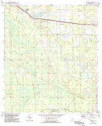
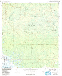
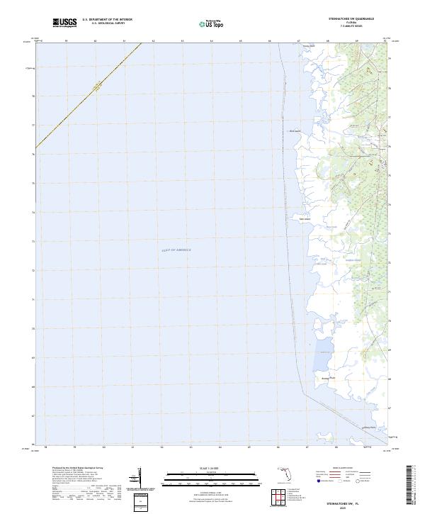
2025 Map of Steinhatchee SE
USGS Topo · Published 2025This historical map portrays the area of Steinhatchee SE in 2025, primarily covering Dixie County. Featuring a scale of 1:24000, this map provides a highly detailed snapshot of the terrain, roads, buildings, counties, and historical landmarks in the Steinhatchee SE region at the time. Published in 2025, it is the sole known edition of this map.
Map Details
Editions of this 2025 Steinhatchee SE Map
This is the sole edition of this map. No revisions or reprints were ever made.
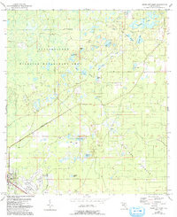
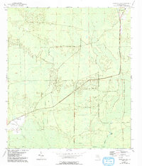
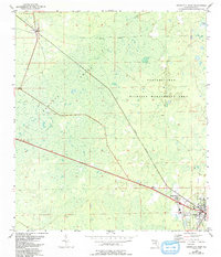
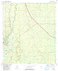
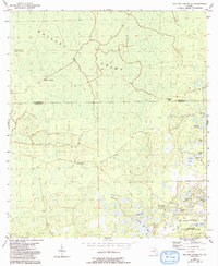
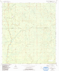
Historical Maps of Horseshoe Through Time
26 maps found
1954 Cross City East
Dixie County, FL
1954 Cross City SW
Dixie County, FL
1954 Cross City West
Dixie County, FL
1954 Eugene
Dixie County, FL
1954 Jena
Dixie County, FL
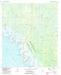
1954 Mallory Swamp SE
Dixie County, FL
1954 Mallory Swamp SW
Dixie County, FL
1954 Steinhatchee SE
Dixie County, FL
1954 Steinhatchee SW
Dixie County, FL
1954 Suwannee
Dixie County, FL
1954 Vista
Dixie County, FL
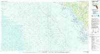
1955 Shired Island
Dixie County, FL
1956 Mallory Swamp SE
Dixie County, FL
1978 Cedar Keys
Dixie County, FL
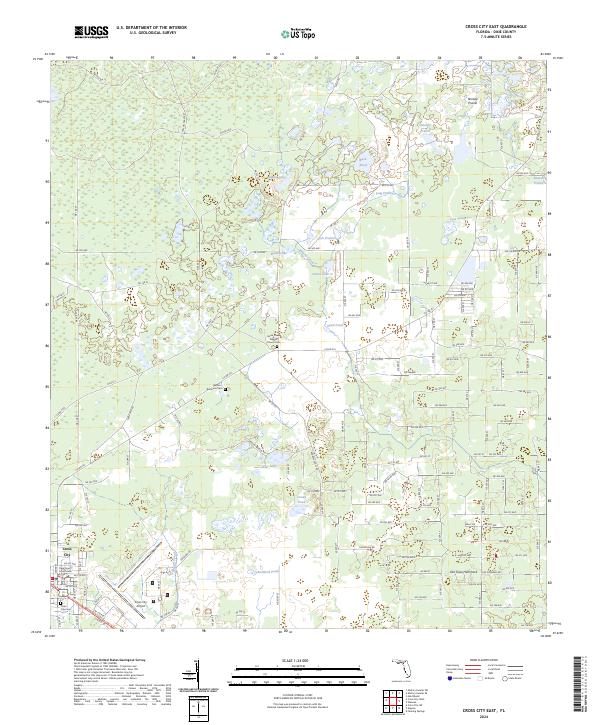
2024 Cross City East
Dixie County, FL
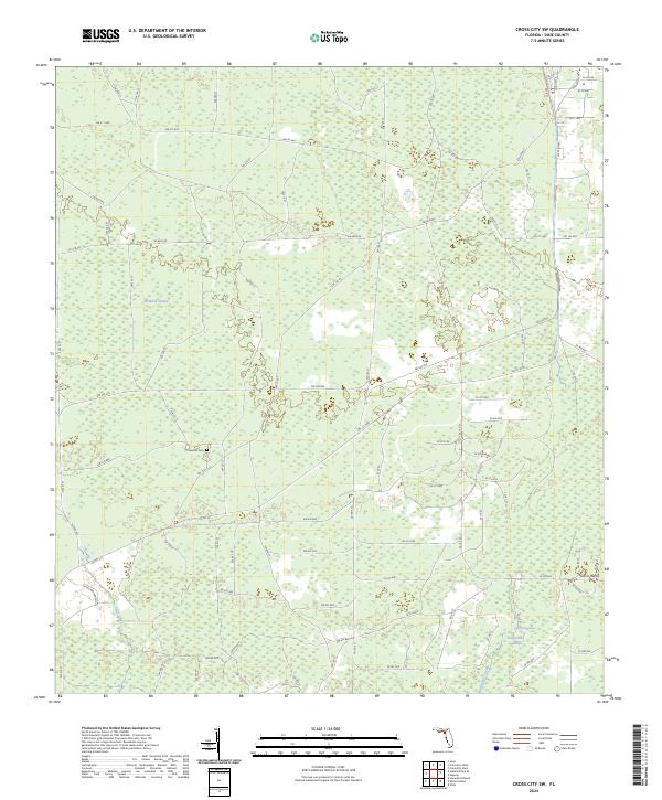
2024 Cross City SW
Dixie County, FL
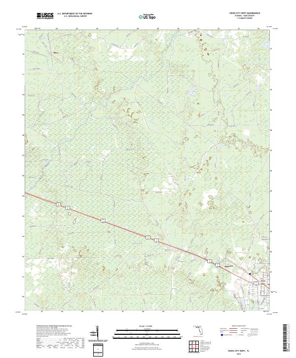
2024 Cross City West
Dixie County, FL
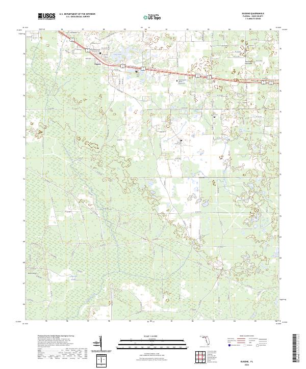
2024 Eugene
Dixie County, FL
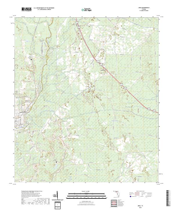
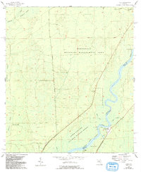
2024 Jena
Dixie County, FL
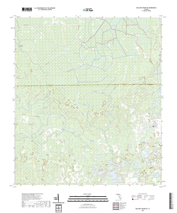
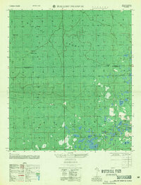
2024 Mallory Swamp SE
Dixie County, FL
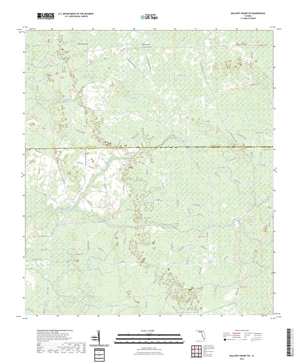
2024 Mallory Swamp SW
Dixie County, FL
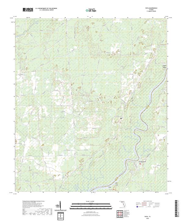
2024 Vista
Dixie County, FL
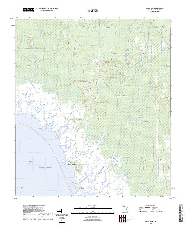
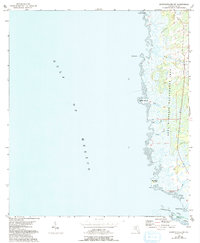
2025 Shired Island
Dixie County, FL
2025 Steinhatchee SE
Dixie County, FL
2025 Steinhatchee SW
Dixie County, FL
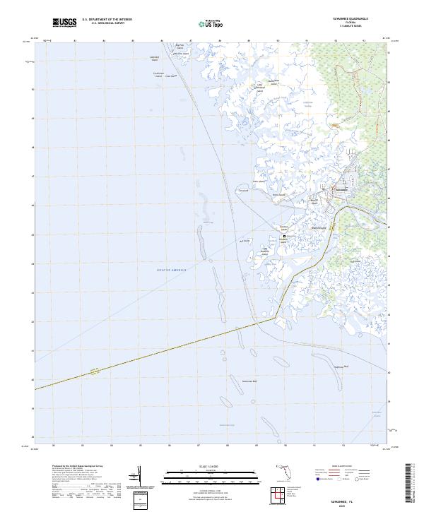
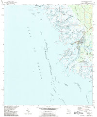
2025 Suwannee
Dixie County, FL