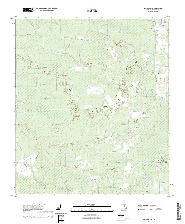
2024 Map of Cross City SW
USGS Topo · Published 2024About this map
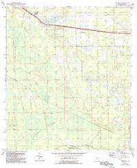
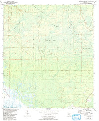
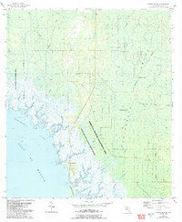
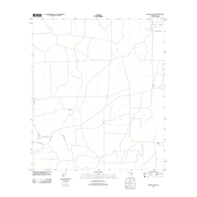
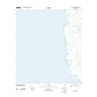
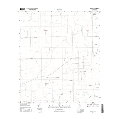
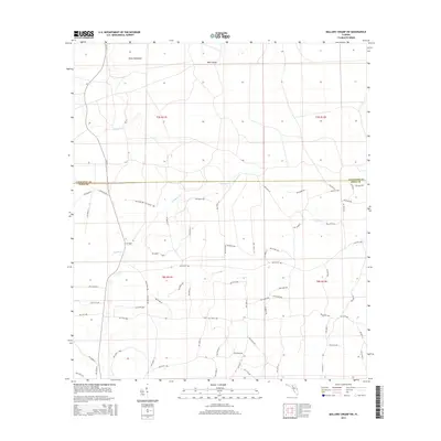
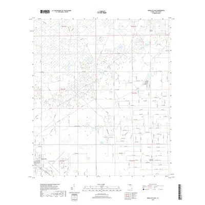
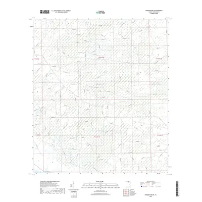
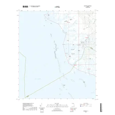
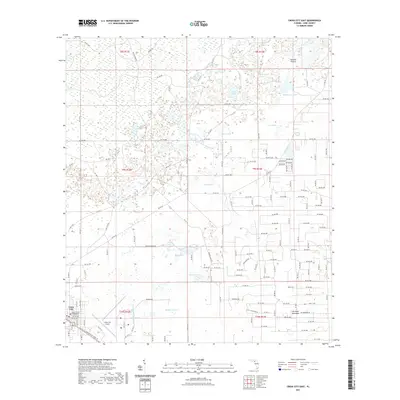
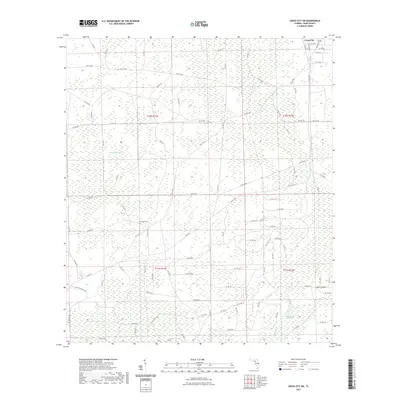
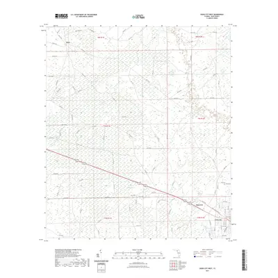
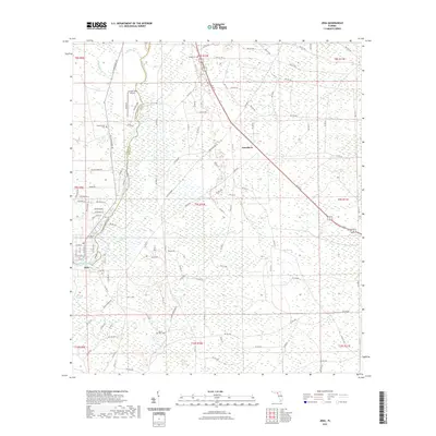
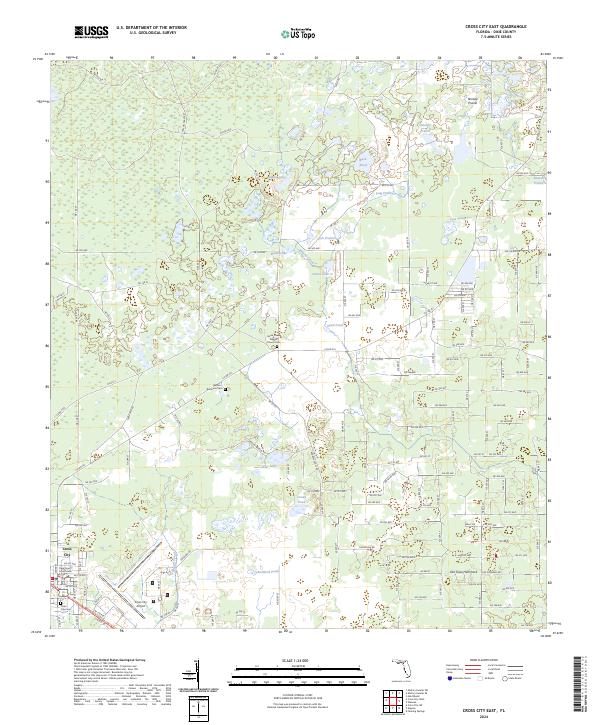
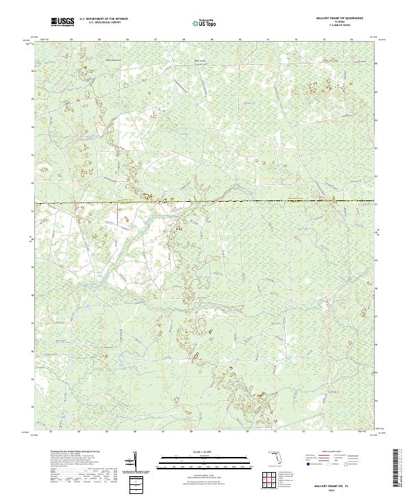
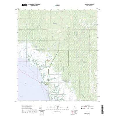
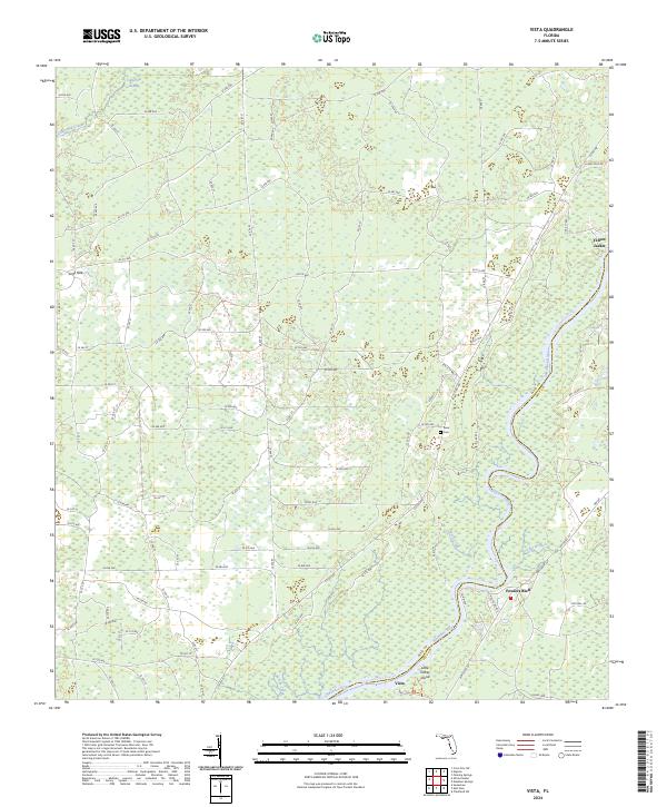
Pumpkin Swamp dominates the northern interior of this Dixie County landscape, part of a vast network of wetlands that includes California Swamp to the south. The terrain is characterized by these low-lying drainage basins and intermittent watercourses like Lily Creek and Fishbone Creek, which meander through a grid of rural section roads. Human presence is anchored by the Sandhill Cem near the center of the sheet, a key point of interest for genealogists tracing local families in this timber and ranching region. The southeastern corner features Davis Island and Station Lake, marking subtle shifts in elevation where the land begins to transition toward the coastal marshes. This survey captures the modern road network, from established routes like Circle Bar Ranch Rd to the intricate system of numbered forest and county roads.
Find a feature on this map
95 named features on this map. Tap any name to fly to it.
Don’t see what you’re looking for? This feature index may not catch every label — zoom into the map to look around manually.
Map Details
Editions of this 2024 Cross City SW Map
This is the sole edition of this map. No revisions or reprints were ever made.
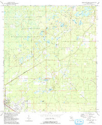
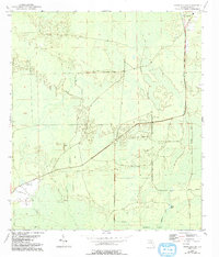
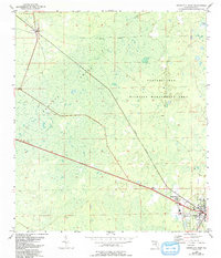
Historical Maps of Cross City Through Time
78 maps found
1954 Cross City East
Dixie County, FL
1954 Cross City SW
Dixie County, FL
1954 Cross City West
Dixie County, FL
1954 Eugene
Dixie County, FL
1954 Jena
Dixie County, FL
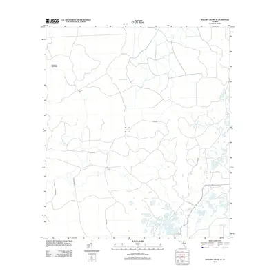
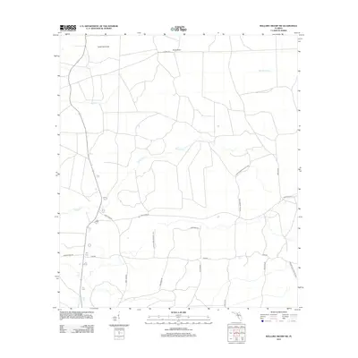
1954 Mallory Swamp SE
Dixie County, FL
1954 Mallory Swamp SW
Dixie County, FL
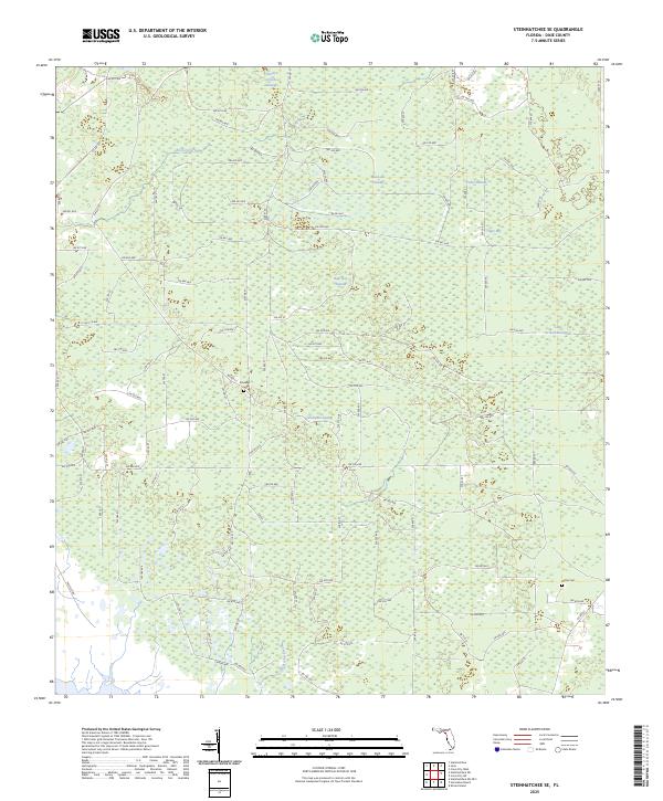
1954 Steinhatchee SE
Dixie County, FL
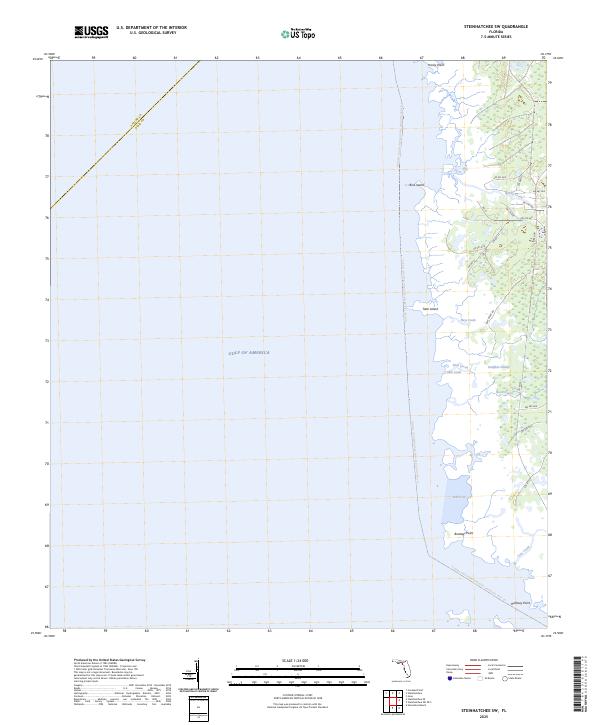
1954 Steinhatchee SW
Dixie County, FL
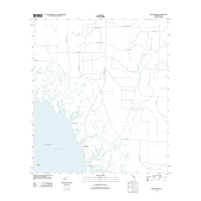
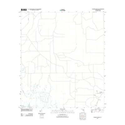
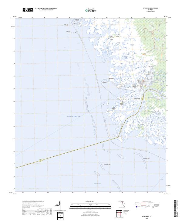
1954 Suwannee
Dixie County, FL
1954 Vista
Dixie County, FL
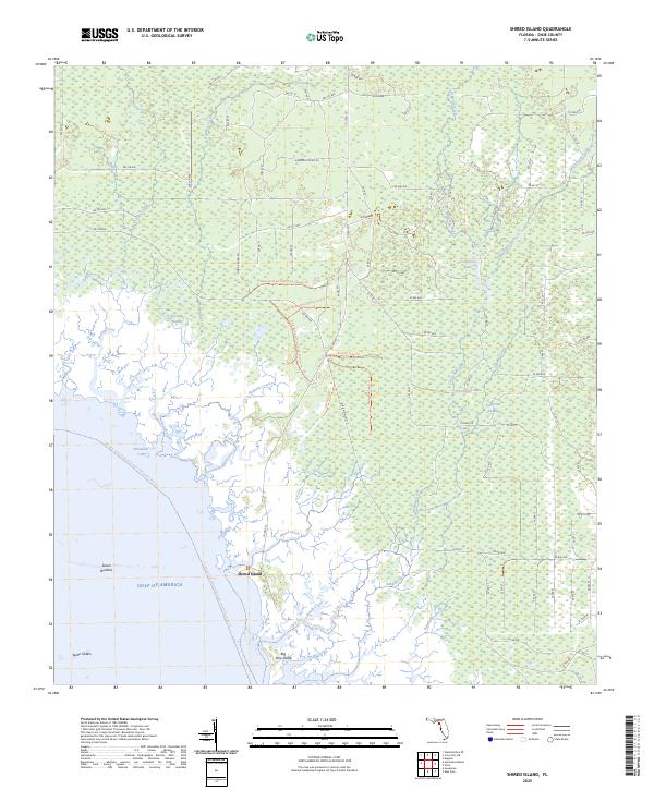
1955 Shired Island
Dixie County, FL
1956 Mallory Swamp SE
Dixie County, FL
1978 Cedar Keys
Dixie County, FL
2012 Cross City East
Dixie County, FL
2012 Cross City SW
Dixie County, FL
2012 Cross City West
Dixie County, FL
2012 Eugene
Dixie County, FL
2012 Jena
Dixie County, FL
2012 Mallory Swamp SE
Dixie County, FL
2012 Mallory Swamp SW
Dixie County, FL
2012 Shired Island
Dixie County, FL
2012 Steinhatchee SE
Dixie County, FL
2012 Steinhatchee SW
Dixie County, FL
2012 Suwannee
Dixie County, FL
2012 Vista
Dixie County, FL
2015 Cross City East
Dixie County, FL
2015 Cross City SW
Dixie County, FL
2015 Cross City West
Dixie County, FL
2015 Eugene
Dixie County, FL

2015 Jena
Dixie County, FL
2015 Mallory Swamp SE
Dixie County, FL
2015 Mallory Swamp SW
Dixie County, FL
2015 Shired Island
Dixie County, FL
2015 Steinhatchee SE
Dixie County, FL

2015 Steinhatchee SW
Dixie County, FL
2015 Suwannee
Dixie County, FL

2015 Vista
Dixie County, FL
2018 Cross City East
Dixie County, FL
2018 Cross City SW
Dixie County, FL
2018 Cross City West
Dixie County, FL
2018 Eugene
Dixie County, FL
2018 Jena
Dixie County, FL

2018 Mallory Swamp SE
Dixie County, FL
2018 Mallory Swamp SW
Dixie County, FL

2018 Shired Island
Dixie County, FL
2018 Steinhatchee SE
Dixie County, FL
2018 Steinhatchee SW
Dixie County, FL
2018 Suwannee
Dixie County, FL

2018 Vista
Dixie County, FL
2021 Cross City East
Dixie County, FL
2021 Cross City SW
Dixie County, FL
2021 Cross City West
Dixie County, FL

2021 Eugene
Dixie County, FL
2021 Jena
Dixie County, FL
2021 Mallory Swamp SE
Dixie County, FL
2021 Mallory Swamp SW
Dixie County, FL
2021 Shired Island
Dixie County, FL

2021 Steinhatchee SE
Dixie County, FL
2021 Steinhatchee SW
Dixie County, FL
2021 Suwannee
Dixie County, FL
2021 Vista
Dixie County, FL
2024 Cross City East
Dixie County, FL
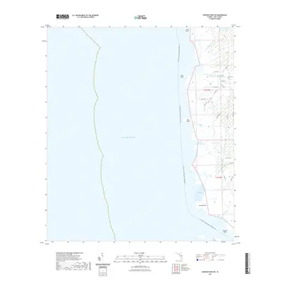
2024 Cross City SW
Dixie County, FL
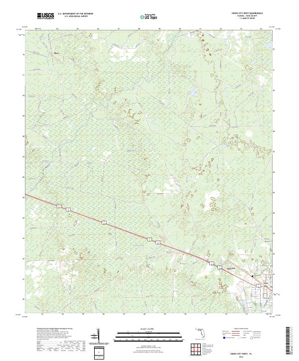
2024 Cross City West
Dixie County, FL
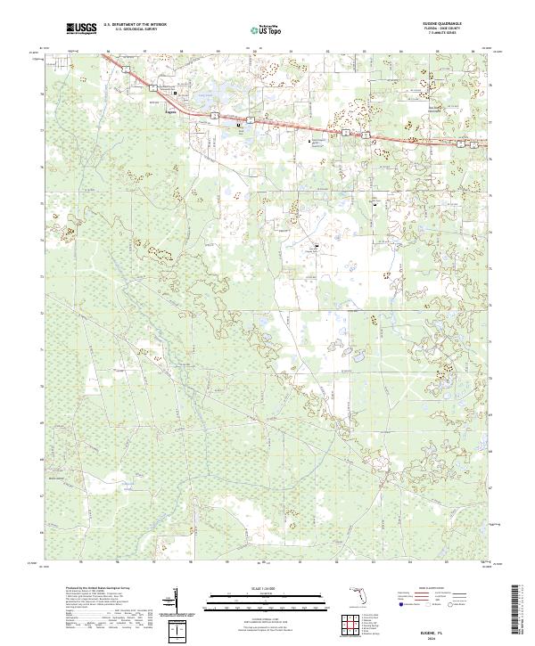
2024 Eugene
Dixie County, FL
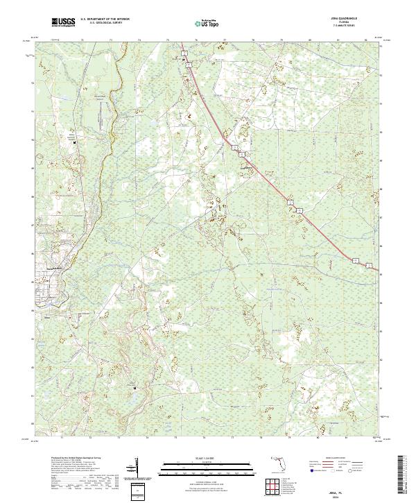
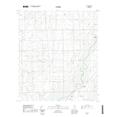
2024 Jena
Dixie County, FL
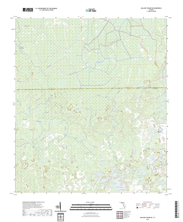
2024 Mallory Swamp SE
Dixie County, FL
2024 Mallory Swamp SW
Dixie County, FL
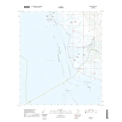
2024 Shired Island
Dixie County, FL

2024 Steinhatchee SE
Dixie County, FL
2024 Steinhatchee SW
Dixie County, FL

2024 Suwannee
Dixie County, FL
2024 Vista
Dixie County, FL
2025 Shired Island
Dixie County, FL
2025 Steinhatchee SE
Dixie County, FL
2025 Steinhatchee SW
Dixie County, FL
2025 Suwannee
Dixie County, FL