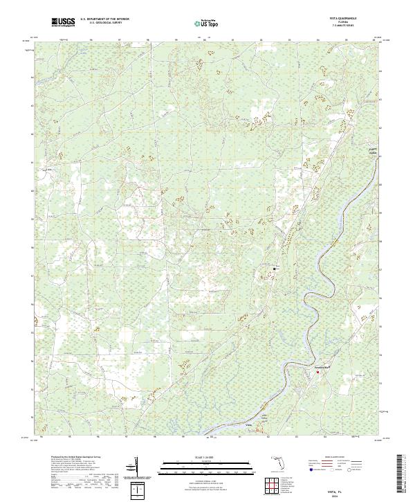
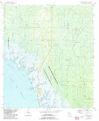
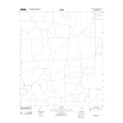
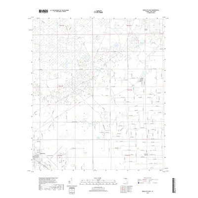
2024 Map of Vista
USGS Topo · Published 2024About this map
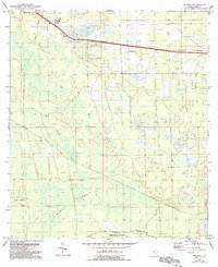
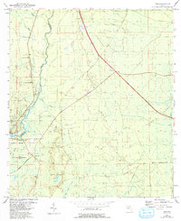
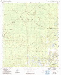
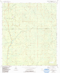
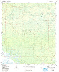
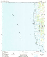
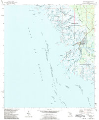
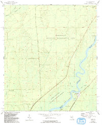
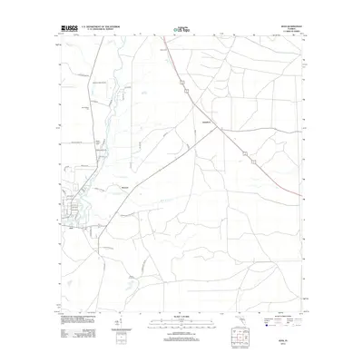
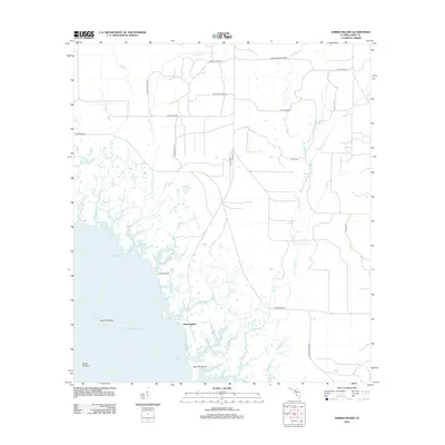
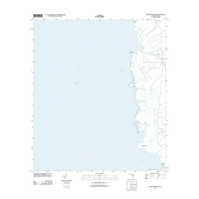
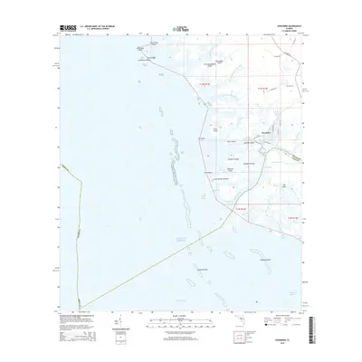
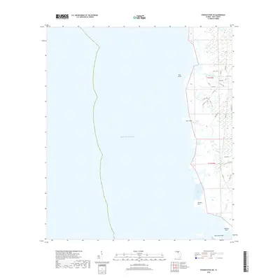
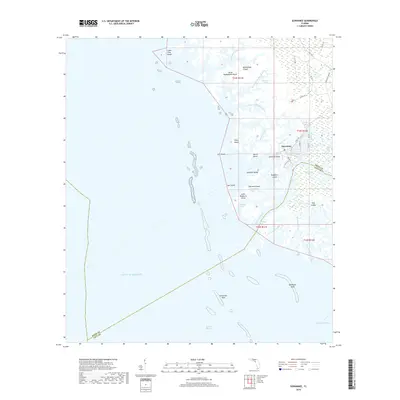
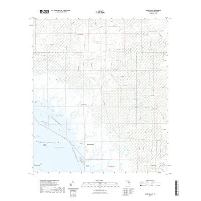
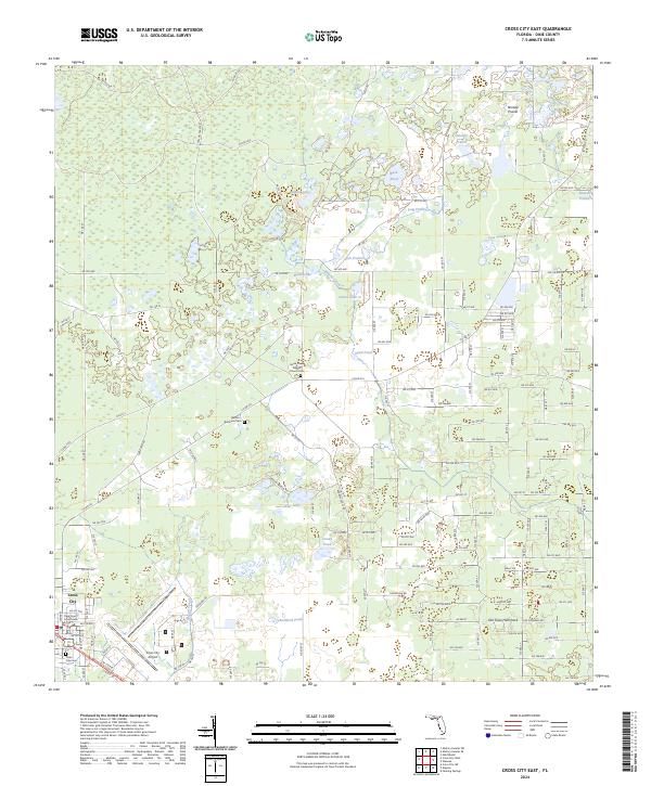
The Suwannee River carves a winding path through the heart of this landscape, forming the natural boundary between Dixie and Levy counties. Large portions of the riverside terrain are protected within the Lower Suwannee National Wildlife Refuge, where the river’s oxbows and seasonal floodplains meet the densely forested California Swamp to the northwest. These wetlands are drained by systems like California Creek and Turkey Creek, creating a complex network of freshwater habitats that have historically limited large-scale development.
Find a feature on this map
106 named features on this map. Tap any name to fly to it.
Don’t see what you’re looking for? This feature index may not catch every label — zoom into the map to look around manually.
Map Details
Editions of this 2024 Vista Map
This is the sole edition of this map. No revisions or reprints were ever made.
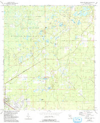
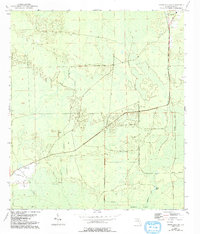
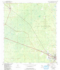
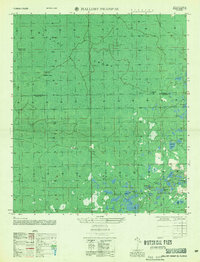
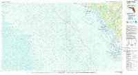
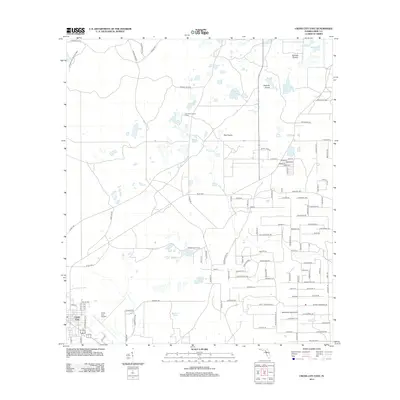
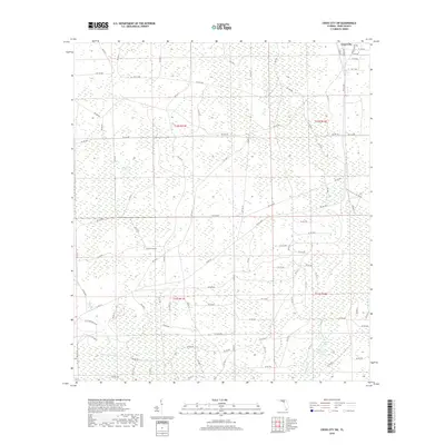
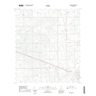
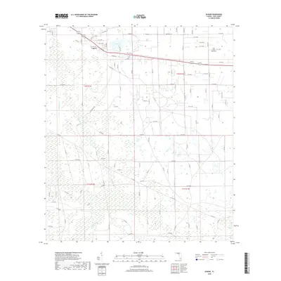
Historical Maps of Yellow Jacket Through Time
78 maps found
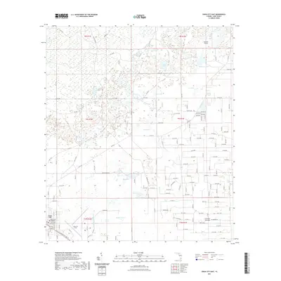
1954 Cross City East
Dixie County, FL
1954 Cross City SW
Dixie County, FL
1954 Cross City West
Dixie County, FL
1954 Eugene
Dixie County, FL
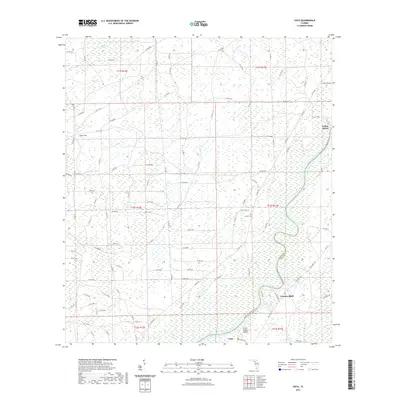
1954 Jena
Dixie County, FL
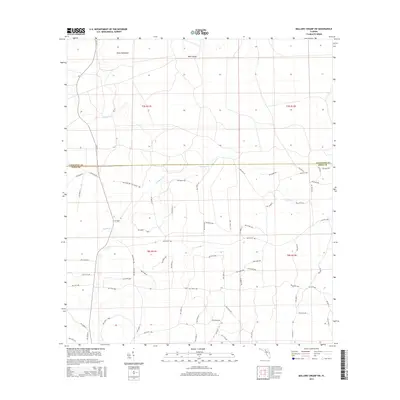
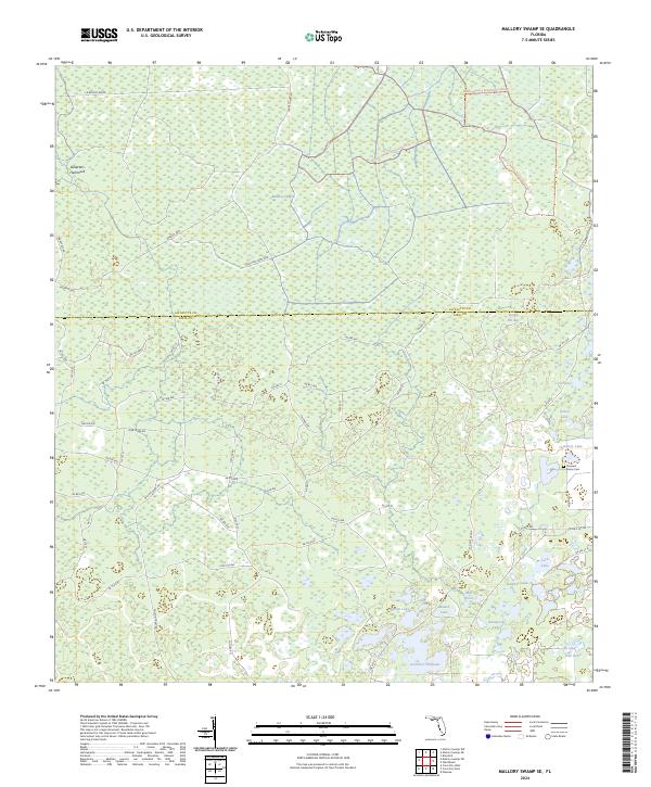
1954 Mallory Swamp SE
Dixie County, FL
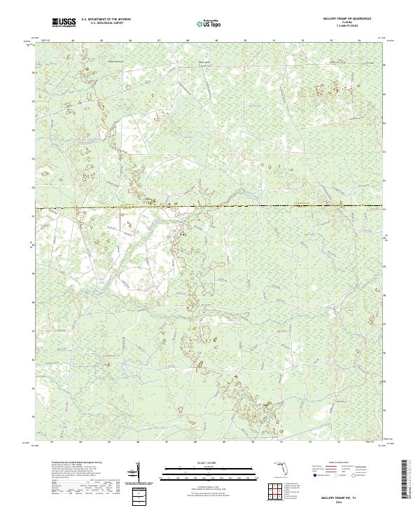
1954 Mallory Swamp SW
Dixie County, FL
1954 Steinhatchee SE
Dixie County, FL
1954 Steinhatchee SW
Dixie County, FL
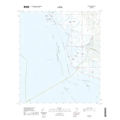
1954 Suwannee
Dixie County, FL
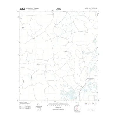
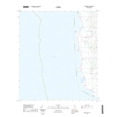
1954 Vista
Dixie County, FL
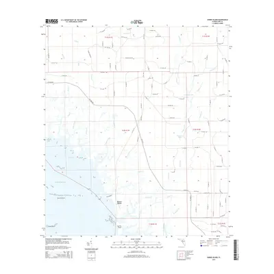
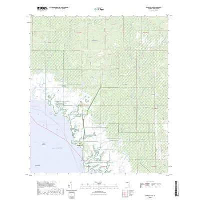
1955 Shired Island
Dixie County, FL
1956 Mallory Swamp SE
Dixie County, FL
1978 Cedar Keys
Dixie County, FL
2012 Cross City East
Dixie County, FL
2012 Cross City SW
Dixie County, FL
2012 Cross City West
Dixie County, FL
2012 Eugene
Dixie County, FL
2012 Jena
Dixie County, FL
2012 Mallory Swamp SE
Dixie County, FL
2012 Mallory Swamp SW
Dixie County, FL
2012 Shired Island
Dixie County, FL
2012 Steinhatchee SE
Dixie County, FL
2012 Steinhatchee SW
Dixie County, FL
2012 Suwannee
Dixie County, FL
2012 Vista
Dixie County, FL
2015 Cross City East
Dixie County, FL
2015 Cross City SW
Dixie County, FL
2015 Cross City West
Dixie County, FL
2015 Eugene
Dixie County, FL

2015 Jena
Dixie County, FL
2015 Mallory Swamp SE
Dixie County, FL
2015 Mallory Swamp SW
Dixie County, FL
2015 Shired Island
Dixie County, FL
2015 Steinhatchee SE
Dixie County, FL

2015 Steinhatchee SW
Dixie County, FL
2015 Suwannee
Dixie County, FL

2015 Vista
Dixie County, FL
2018 Cross City East
Dixie County, FL
2018 Cross City SW
Dixie County, FL
2018 Cross City West
Dixie County, FL
2018 Eugene
Dixie County, FL
2018 Jena
Dixie County, FL

2018 Mallory Swamp SE
Dixie County, FL
2018 Mallory Swamp SW
Dixie County, FL

2018 Shired Island
Dixie County, FL
2018 Steinhatchee SE
Dixie County, FL
2018 Steinhatchee SW
Dixie County, FL
2018 Suwannee
Dixie County, FL

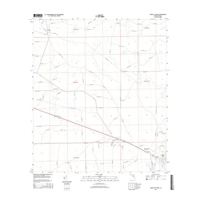
2018 Vista
Dixie County, FL
2021 Cross City East
Dixie County, FL
2021 Cross City SW
Dixie County, FL
2021 Cross City West
Dixie County, FL

2021 Eugene
Dixie County, FL
2021 Jena
Dixie County, FL
2021 Mallory Swamp SE
Dixie County, FL
2021 Mallory Swamp SW
Dixie County, FL
2021 Shired Island
Dixie County, FL

2021 Steinhatchee SE
Dixie County, FL
2021 Steinhatchee SW
Dixie County, FL
2021 Suwannee
Dixie County, FL
2021 Vista
Dixie County, FL
2024 Cross City East
Dixie County, FL
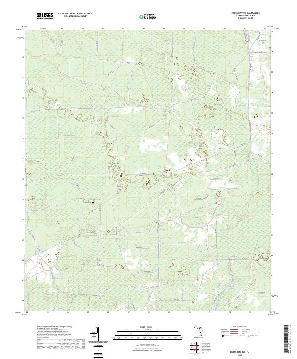
2024 Cross City SW
Dixie County, FL
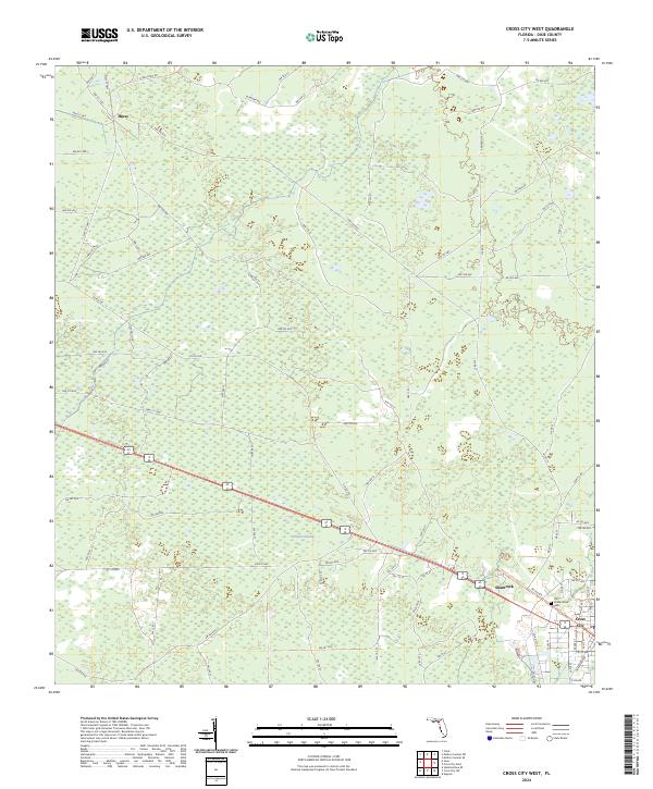
2024 Cross City West
Dixie County, FL
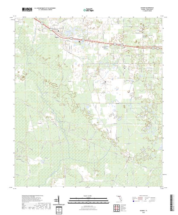
2024 Eugene
Dixie County, FL
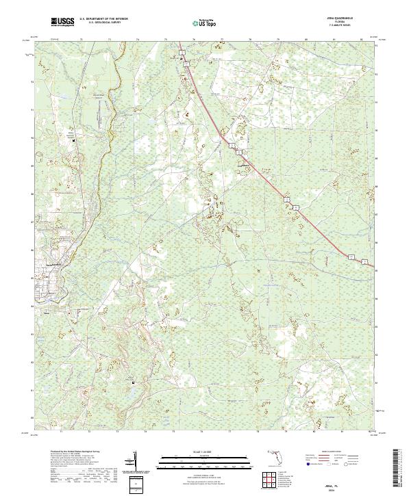
2024 Jena
Dixie County, FL
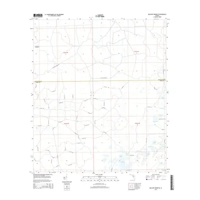
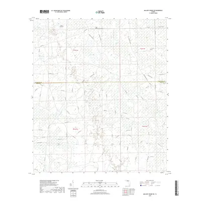
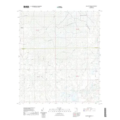
2024 Mallory Swamp SE
Dixie County, FL
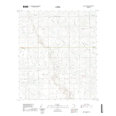
2024 Mallory Swamp SW
Dixie County, FL
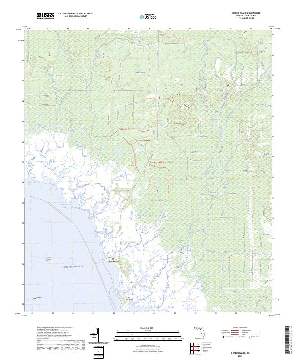
2024 Shired Island
Dixie County, FL

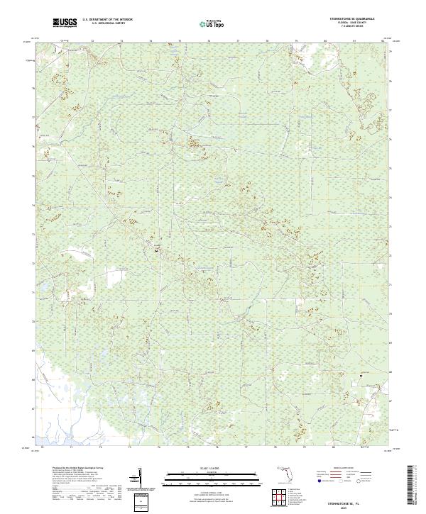
2024 Steinhatchee SE
Dixie County, FL
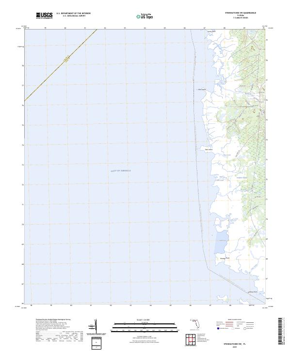
2024 Steinhatchee SW
Dixie County, FL

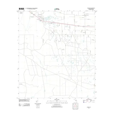
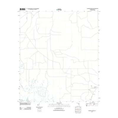
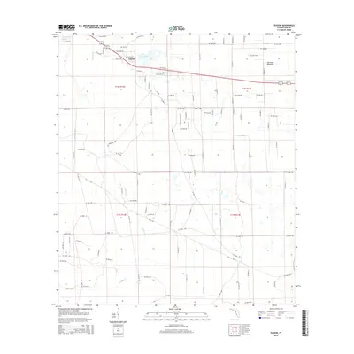
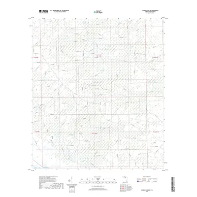
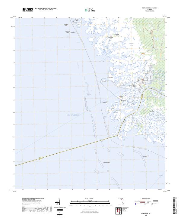
2024 Suwannee
Dixie County, FL
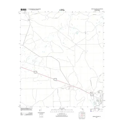
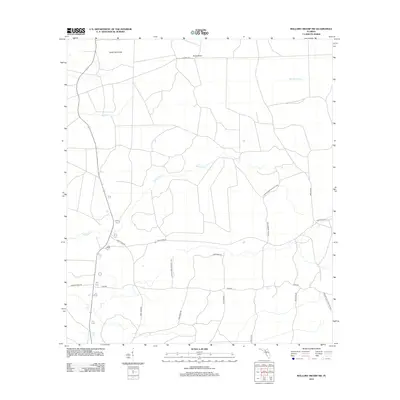
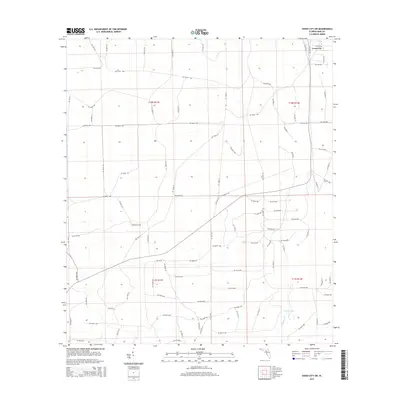
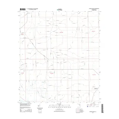
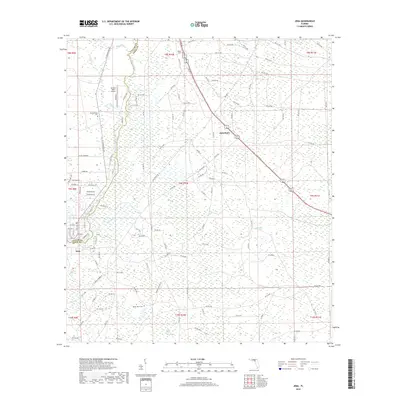
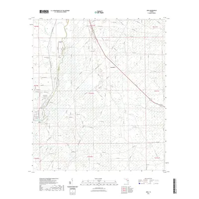
2024 Vista
Dixie County, FL
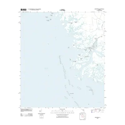
2025 Shired Island
Dixie County, FL
2025 Steinhatchee SE
Dixie County, FL
2025 Steinhatchee SW
Dixie County, FL
2025 Suwannee
Dixie County, FL